The rapid proliferation of civilian Unmanned Aerial Vehicles (UAVs) represents one of the most significant technological democratizations of the 21st century. From breathtaking aerial cinematography to precision agriculture and emergency response, the applications are as diverse as they are transformative. As an observer and analyst of technological trends impacting societal structures, I have witnessed this growth with both enthusiasm and deepening concern. The very attributes that make civilian UAVs so powerful—accessibility, affordability, and autonomy—also render them potent vectors for disruption, accidents, and malicious intent. The current regulatory and technological landscape is fragmented, reactive, and largely unprepared for the scale of integration we are facing. Therefore, I argue that establishing a robust, proactive, and multi-layered safety governance framework is not merely an administrative task but a critical imperative for public security. This requires a synergistic approach blending evolved legal doctrines, standardized technology, comprehensive operational protocols, and empowered law enforcement strategies, all centered on the core concept of treating the civilian UAV as a regulated mobile intelligent terminal.
The first step in constructing an effective governance model is a clear-eyed assessment of the threat landscape. The public safety risks posed by civilian UAVs are not monolithic; they exist on a spectrum from negligent accident to deliberate weaponization. A systematic analysis reveals several distinct categories of threat vectors, as summarized in the table below.
| Threat Category | Primary Manifestations | Potential Consequences | Risk Level |
|---|---|---|---|
| Airspace & Infrastructure | Incursions into airport flight paths, collisions with manned aircraft, interference with critical infrastructure (power lines, communication towers). | Catastrophic loss of life, massive economic disruption from halted air traffic, widespread utility failures. | Catastrophic |
| Privacy & Surveillance | Unauthorized filming over private property, industrial espionage, stalking, peering into secured facilities. | Erosion of personal privacy, theft of intellectual property, psychological harm, compromise of corporate or government secrets. | High |
| Physical Harm & Nuisance | Mid-air failures causing坠落 on crowds or vehicles, noise pollution, creating public alarm. | Personal injury or death, property damage, public disorder, erosion of community sense of safety. | |
| Malicious Payload Delivery | Transporting explosives, chemical/biological agents, or contraband (e.g., drugs, weapons into prisons). | Terrorist attacks, assassination attempts, facilitation of crime, undermining correctional security. | |
| Weaponization & Aggression | Intentional ramming of targets, swarming tactics to overwhelm defenses, as platforms for armed conflict. | Physical destruction, terrorism, asymmetric warfare, challenging traditional security paradigms. |
These threats are amplified by the technical characteristics of modern civilian UAVs: small size (Low observability), slow speed (Slow), and low altitude operation (Small), collectively termed the “Low-Slow-Small” (LSS) challenge. This makes detection and interception by conventional air defense systems exceptionally difficult. Furthermore, the remote or automated nature of control creates a layer of detachment that can lower the perceived threshold for irresponsible or criminal use. The risk probability ($R$) of a civilian UAV incident can be conceptualized as a function of multiple variables:
$$
R = f(P, V, S, C) = \frac{P \cdot V}{S \cdot C}
$$
Where:
- $P$ = Proliferation Factor (number of UAVs in operation)
- $V$ = Vulnerability Factor (ease of misuse/accident, lack of safeguards)
- $S$ = Security & Control Factor (strength of regulatory and technical controls)
- $C$ = Compliance & Culture Factor (level of user awareness and adherence to norms)
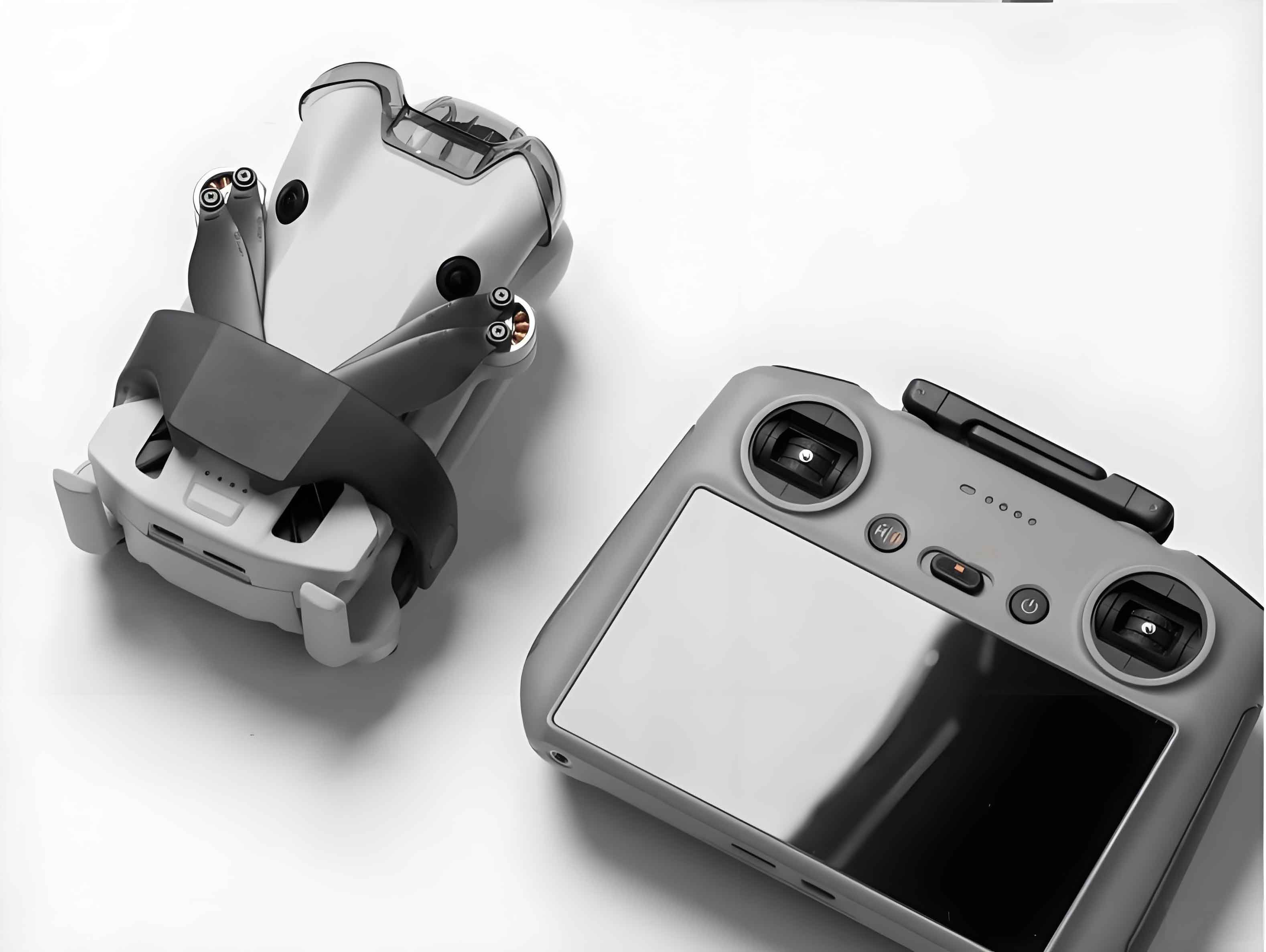
Currently, $P$ and $V$ are rising exponentially, while $S$ and $C$ remain underdeveloped, leading to a rapidly increasing risk quotient $R$. The following visual underscores the ubiquitous and potentially intrusive nature of these LSS platforms in shared airspace.
A comparative analysis of global regulatory approaches reveals a patchwork of responses, often lagging behind technological reality. Most jurisdictions are grappling with the same core dilemmas: balancing innovation with security, defining where “hobby” ends and “aviation” begins, and enforcing rules against devices that are easy to hide and operate anonymously.
| Region/Jurisdiction | Key Regulatory Features | Strengths | Gaps & Challenges |
|---|---|---|---|
| United States (FAA) | Part 107 rules for commercial use; Remote ID mandate; registration for UAVs >0.55 lbs; strict airspace restrictions (e.g., near airports). | Comprehensive framework for commercial ops; moving towards universal electronic identification. | Complex airspace waiver process; enforcement against non-compliant, especially recreational, users remains difficult. |
| European Union (EASA) | Risk-based categorization (Open, Specific, Certified); geofencing requirements; operator registration and pilot competency for higher-risk categories. | Harmonized rules across member states; clear, risk-proportionate regulatory pathway. | Full implementation and enforcement across diverse national landscapes is an ongoing challenge. |
| Australia (CASA) | ReOC (Operator Certificate) for commercial use; strict line-of-sight rules; exclusion zones around airports and populous areas. | Clear distinction between recreational and commercial; strong emphasis on operator certification. | Monitoring and enforcement in vast, remote areas; keeping pace with rapidly evolving automation capabilities. |
| Japan | Flight prohibition over dense crowds and near critical infrastructure (e.g., nuclear plants); mandatory permission for flights in restricted zones. | Direct and clear prohibitions tied to specific public safety concerns. | Primarily focuses on restrictions rather than a holistic management ecosystem for lawful use. |
| China (Current) | CAAC rules for UAVs >7kg or beyond visual line-of-sight (BVLOS); localized “no-fly zones” for major events; emerging product standards. | Authority to enact swift, broad restrictions for major events (e.g., Olympics, G20). | Lack of unified national law for lightweight civilian UAVs; complex, non-centralized flight approval processes leading to widespread “black flying”. |
The common thread across these regimes is a struggle with the consumer-grade civilian UAV—those under 7kg, operating within visual line of sight. They often fall into a regulatory gray zone: too capable to be mere toys, yet too numerous and small to be managed like traditional aircraft. The legal doctrines of trespass, privacy, and negligence are often ill-suited, requiring proof of intent or actual harm, and do little for prevention. The concept of “aviation disorder” lacks the concrete, preventative measures found in road traffic laws. This regulatory lag creates a permissive environment where the cost of non-compliance (“black flying”) is perceived as low, while the bureaucratic cost of compliance is seen as high.
To move beyond reactive measures, we must architect a proactive, integrated Civilian UAV Safety and Governance Framework. This framework rests on four interdependent pillars: Legal Foundation, Technological Standardization, Operational Management, and Enforcement & Response. Its effectiveness ($E_{framework}$) can be modeled as the product of the strength of these pillars:
$$
E_{framework} = L_\alpha \cdot T_\beta \cdot O_\gamma \cdot F_\delta
$$
where $L$, $T$, $O$, and $F$ represent the maturity coefficients (0 to 1) of each pillar, and $\alpha, \beta, \gamma, \delta$ are weighting exponents reflecting their relative importance in a given societal context.
The core components of this integrated framework are detailed below:
| Pillar | Core Components | Key Measures & Systems |
|---|---|---|
| 1. Legal Foundation | Clear categorization of civilian UAVs by risk profile (weight, speed, capabilities). Unambiguous definition of “operator/pilot” liability and “owner” responsibility. Establishment of national digital registration system (UAV ID linked to owner). Codification of “No-Fly Zones” (NFZs) and “Geofencing Mandates”. Graded penalty structure for violations, from fines to criminal charges (e.g., endangerment). |
Primary Legislation (e.g., “Civilian UAV Management Act”). Supplementary regulations for certification, insurance, and data privacy. |
| 2. Technological Standardization | Mandatory Technical Compliance: Remote ID (broadcast and network-based), altitude/range limiters, geofencing compliance. Secure C2 Links: Standardized, encrypted command & control frequencies to prevent hijacking. Common Data Interfaces: For seamless integration into Air Traffic Management (UTM/U-space) systems. Detect-and-Avoid (DAA) systems for larger or autonomous civilian UAVs. |
National/International Technical Standards (e.g., for Remote ID protocols). Type certification for civilian UAV models. Mandatory factory settings for NFZ updates. |
| 3. Operational Management | Pilot Competency: Tiered licensing system (basic awareness for micro UAVs, advanced for commercial/BVLOS). Flight Planning & Authorization: Simplified, digital “one-stop” portals for flight plan submission, automated approvals for low-risk ops in uncontrolled areas. Unified Traffic Management (UTM): A cloud-based system for real-time monitoring of compliant civilian UAV flights, de-confliction, and dynamic airspace management. Public Awareness & Education: National campaigns on “Drone Sense,” similar to driver’s education. |
National UTM/U-Space Platform. Accredited Training and Testing Organizations. Public mobile apps for checking flight rules and NFZs. |
| 4. Enforcement & Response | Monitoring & Detection: Network of sensors (RF, radar, acoustic) around critical infrastructure to identify non-compliant/non-cooperative UAVs. Counter-UAS (C-UAS) Capabilities: Layered, proportionate response toolkit for law enforcement—from radio frequency jamming and GNSS spoofing to kinetic interdiction for high-threat scenarios. Investigation & Forensics: Protocols for crash scene investigation, UAV data extraction (flight logs), and tracing ownership via Remote ID/registration. Inter-Agency Coordination: Clear protocols between aviation authorities, national police, local law enforcement, and security agencies. |
Deployable C-UAS systems for major events and critical sites. Dedicated forensic tools and training for law enforcement. Joint operation centers for airspace security. |
Within this framework, the role of law enforcement, particularly agencies responsible for domestic public security, is paramount and must evolve. Police cannot be merely reactive responders to civilian UAV incidents; they must be integrated into the governance fabric as proactive guardians of the low-altitude commons. This requires a shift in mindset, treating unauthorized or malicious UAV activity not just as a nuisance, but as a potential public safety event on par with other critical incidents. Several strategic adaptations are necessary.
First, Legal Authority and Policy Development: Police agencies must advocate for and operate under clear legal statutes that empower them to investigate, detain, and neutralize threatening civilian UAVs. This includes the authority to compel data from manufacturers and UTM service providers during investigations. Developing standardized internal policies for UAV-related calls—distinguishing between a lost hobbyist and a potential surveillance operation—is crucial.
Second, Specialized Training and Equipment: Frontline officers need basic awareness training to identify risky UAV behavior. Furthermore, dedicated units must be established with advanced training in UAS technology, C-UAS system operation, and digital forensics for UAV data recovery. Investment in a tiered equipment suite is essential:
- Tier 1 (Detection): Portable RF detectors and direction finders.
- Tier 2 (Identification): Systems that can read Remote ID broadcasts and correlate with registration databases.
- Tier 3 (Mitigation): Managed jammers, net-gun systems, or interceptor drones for safe capture.
Third, Intelligence-Led and Preventive Policing: This involves monitoring online marketplaces and forums for illicit modifications or threat discussions related to civilian UAVs. Building partnerships with retailers to promote “Know Your Customer” practices and safe flying education is a preventive measure. For major public events, pre-emptive establishment of Temporary Flight Restrictions (TFRs) and deployment of C-UAS perimeter security should be standard protocol.
Fourth, Investigation and Forensics Standardization: When an incident occurs, a systematic approach is needed. This includes securing the crash site, preserving the UAV and controller as digital evidence, methodically extracting data from internal memory (e.g., .DAT and .TXT files on DJI platforms), and analyzing flight paths against geofence maps. The ability to forensically link a physical UAV to its digital owner through its unique identifiers is a powerful investigative tool that current frameworks often lack.
The trajectory of civilian UAV technology is towards greater autonomy, longer endurance, and increased network integration (swarming). The governance framework must therefore be adaptive and forward-looking. Key areas for future development include:
- Automated Compliance via AI: Onboard AI that can interpret visual cues to avoid flying over crowds or sensitive sites, even beyond simple GPS coordinates.
- Blockchain for Logging: Immutable, distributed ledgers for flight logs and maintenance records, enhancing accountability and traceability.
- Dynamic Geofencing: Airspace restrictions that can change in real-time based on events, weather, or security alerts, pushed automatically to compliant civilian UAVs.
- International Harmonization: As UAVs cross borders virtually through signal range and physically in logistics, global standards for Remote ID, spectrum use, and operator certification become increasingly critical.
In conclusion, the era of the ungoverned civilian UAV must end. The path forward lies in rejecting the false dichotomy between innovation and security. By implementing an integrated framework that combines unequivocal law, mandated technology standards, streamlined operational management, and a strategically empowered law enforcement capability, we can secure the low-altitude domain. This will allow the tremendous socioeconomic benefits of civilian UAVs to be realized fully and safely, ensuring that our skies remain a space for opportunity, not a domain of threat. The time for comprehensive action is now, before a cascading failure of our patchwork systems forces a regressive and innovation-stifling response. The governance of the unseen is the next great challenge for urban security and technological stewardship.