
The integration of unmanned aerial vehicles (UAVs), commonly known as drones, into the fabric of urban governance represents a paradigm shift from traditional two-dimensional, ground-based management to a three-dimensional, air-ground-human collaborative system. As a vital carrier of low-altitude economic activities, drone technology offers unparalleled advantages in flexibility, efficiency, and multidimensional perception, progressively becoming an indispensable instrument for advancing smart and refined city management. This analysis, based on a logical sequence of current development, risk challenges, and response strategies, systematically explores the transformative potential and inherent complexities of deploying unmanned systems within administrative frameworks.
The proliferation of drone technology in public safety, traffic management, environmental monitoring, emergency response, and social services is not merely a technological upgrade but a deep-seated evolution of urban logic itself. This paper delves into the mechanisms that underpin this transformation, identifies four primary categories of risk—technical-managerial misalignment, data security vulnerabilities, institutional lag, and infrastructural deficiencies—and proposes a robust, multifaceted strategy to harness the full potential of drones while mitigating associated dangers. The ultimate goal is to construct a governance ecosystem that is both highly efficient and resilient, ensuring that the ascent of urban intelligence is grounded in safety, equity, and sustainability.
Mechanisms and Application Scenarios of Drone-Enabled Governance
The enabling power of drone technology in urban management is driven by three core mechanistic characteristics: intelligence, efficiency, and multi-scenario adaptability. These features collectively bridge aerial capabilities with terrestrial governance needs.
$$ \text{Governance Efficacy} = f(\text{Intelligence (AI)}, \text{Efficiency (Realtime)}, \text{Adaptability (Multi-domain)}) $$
Intelligence allows drones to perform complex tasks such as autonomous navigation, real-time data analysis, and object recognition, which significantly enhances the precision of urban management. Efficiency is realized through rapid deployment and wide-area coverage, compressing the time between problem detection and resolution. Multi-scenario adaptability enables a single drone platform to serve various departmental needs, from policing to environmental protection, thereby fostering cross-sectoral collaboration.
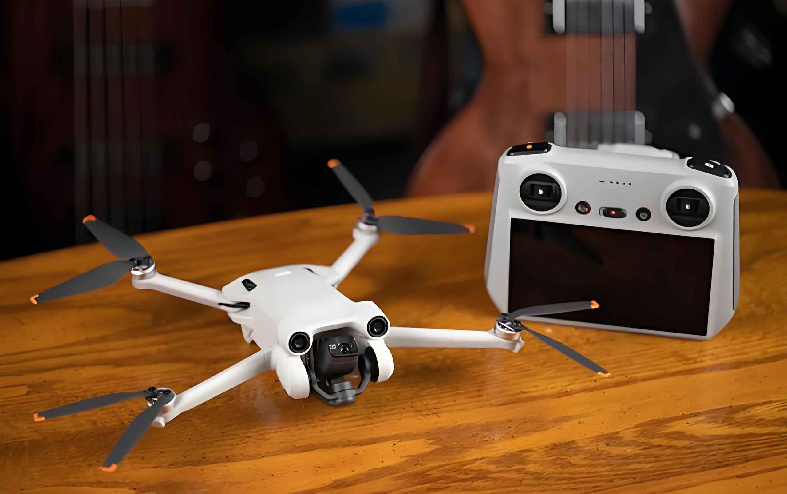
The application of drone technology in urban governance can be systematically categorized into core administrative functions and extended service provisions, each supported by a foundational layer of spatial digital data. The following table summarizes the key scenarios:
| Category | Primary Application Scenarios | Empowered Mechanism | Key Technology |
|---|---|---|---|
| Core Administrative | Public Safety & Security | Time-space compression; Panoramic surveillance; Prevention over response | HD zoom cameras, thermal imaging, AI behavior recognition |
| Traffic Management | Real-time network monitoring; Intelligent enforcement; Accident reconstruction | Deep learning for violation detection, 3D modeling, infrared thermal imaging | |
| Environmental Monitoring | Multi-spectral sensing; Plume tracking; Offsite evidence collection | LiDAR, gas detectors, multi-spectral sensors, 5G transmission | |
| Extended Services | Emergency Response | Risk assessment; Precision delivery; Communication relay | 3D white modeling, thermal imaging, satellite communication relay |
| Healthcare & Elderly Care | Non-contact health monitoring; Last-mile delivery; Social inclusion | Face recognition, vital sign monitoring radar, autonomous navigation | |
| Public Greening & Maintenance | Variable rate application; Precision inspection; Terrain-agnostic coverage | Multi-spectral sensors, high-precision GPS, automated flight control |
Public Safety and Security
In policing, drone technology has evolved into a “third dimension” of patrol. Equipped with high-definition zoom cameras and thermal imagers, drones provide real-time aerial views for crowd control, search and rescue, and perimeter security. The constant aerial presence acts as a psychological deterrent, shifting public behavior from passive compliance to active self-regulation. The efficiency gain is quantitatively significant: the time to detect and respond to an incident can be reduced by over 40% compared to ground-only patrols.
Traffic Management
The application of drone technology for traffic monitoring has revolutionized congestion analysis and accident management. By integrating with AI algorithms, drones can identify slow-down patterns, detect violations like illegal lane changes, and survey accident scenes in minutes, a process that traditionally took hours. This system supports a dynamic, responsive traffic signal control model.
$$ \eta_{response} = \frac{T_{traditional} – T_{UAV}}{T_{traditional}} \times 100\% $$
Where ηresponse is the improvement in response efficiency, and T represents time intervals for detection, analysis, and dispatch. Field studies suggest that ηresponse can exceed 40% for accident handling and 30% for congestion management. For example, the accuracy of AI-driven violation detection systems mounted on drones has reached over 95%.
Environmental Monitoring
Environmental agencies are using drone technology to leapfrog the limitations of fixed monitoring stations. Drones can be dispatched immediately to track a pollution plume, identify illegal dumping sites, or monitor the health of urban forests. The data they collect, from gas concentrations to thermal anomalies, is transmitted in real-time, creating a dynamic pollution map that supports immediate enforcement action.
Emergency Response
In emergency scenarios such as floods, fires, or chemical spills, drone technology becomes a frontline asset. Drones can map a fire’s thermal signature, search for stranded victims, and deliver life-saving supplies like flotation devices or medical kits to inaccessible locations. In communication blackouts, tethered drones can act as temporary cell towers, re-establishing vital links for coordination. The rescue efficiency, E, can be modeled as:
$$ E_{rescue} = \frac{V_{coverage} \times C_{data}}{T_{response}} $$
where Vcoverage is the spatial area assessed per unit time, Cdata is the quality of actionable intelligence, and Tresponse is the time from dispatch to intervention. Drone technology drastically increases the numerator while decreasing the denominator.
Healthcare and Social Services
Beyond emergencies, drone technology is expanding into public health, especially for elderly care. Drones equipped with non-contact sensors can check on home-bound seniors, detect falls, and deliver medicine, bridging the gap between limited human resources and growing demand. This represents a move towards “preventive and autonomous social care,” where technological vigilance ensures safety without constant physical intrusion.
Risk Challenges in Drone-Enabled Governance
Despite its vast potential, the deep integration of drone technology into urban governance is fraught with significant risks. These can be grouped into four primary dimensions, as summarized in the table below:
| Risk Dimension | Specific Challenges | Underlying Cause |
|---|---|---|
| Technical-Managerial | Device incompatibility; Data silos; Skill gaps | Lack of unified standards; Fragmented procurement and training |
| Data Security & Privacy | Unconsented surveillance; Data leakage; Public anxiety | Insufficient data governance; Legal ambiguity; Cognitive bias |
| Institutional & Legal | Regulatory gaps; Fragmented oversight; Slow adaptation | Fast tech iteration vs. slow policy; Unclear jurisdictional boundaries |
| Infrastructure & Ecosystem | Poor network coverage; Lack of vertiports; Weak industrial chain | High investment cost; Nascent market; Lack of technical standards |
Technical-Managerial Misalignment
The most immediate hurdle is the lack of synergy between rapid technological advances and established management protocols. A city using drones from multiple vendors often struggles with integrating data streams due to proprietary software and hardware. The operational skill of drone pilots also varies widely, leading to inefficiencies and potential safety incidents. The current state can be described as a system with high individual component capability but low emergent system performance. The overall governance performance, P, is not simply additive but constrained by the weakest link in the coordination chain:
$$ P_{system} = \min\left\{ f(T_{compat}), f(S_{op}), f(D_{share}) \right\} $$
Where Tcompat is technology compatibility, Sop is operator skill, and Dshare is data sharing efficiency.
Data Security and Privacy Risks
The ubiquitous sensing capability of drone technology presents a grave risk to civil liberties. Citizens may be captured on HD video without their knowledge or consent. This data, once collected and stored, is vulnerable to cyber-attacks, leaks, or misuse. The public’s response is often a mix of over-reaction to minor risks (like noise) and under-appreciation of major threats (like data profiling), creating a social environment that is difficult to govern rationally. The risk of harm, Rharm, can be conceptualized as:
$$ R_{harm} = L_{data} \times V_{data} \times P_{breach} $$
Where Ldata is the type of data collected, Vdata is its potential value for malicious use, and Pbreach is the probability of a security failure.
Institutional and Legal Lag
Existing legal frameworks were designed for a world without ubiquitous drones. The current rules struggle to define no-fly zones over private homes, allocate liability for autonomous drone accidents, or regulate the secondary use of aerial survey data. This institutional void creates a permissive environment for abuse and hinders the legitimate growth of the industry. The lag, ΔL, can be expressed as:
$$ \Delta L = \frac{dy}{dt} / \frac{dp}{dt} $$
Where dy/dt is the velocity of technological evolution and dp/dt is the velocity of policy adaptation. When ΔL > 1, governance instability grows.
Infrastructure and Ecosystem Deficiencies
A city cannot run a drone fleet without supporting infrastructure. Key bottlenecks include a lack of secure take-off and landing pads (vertiports), insufficient low-altitude network coverage for reliable beyond-visual-line-of-sight (BVLOS) flight, and an under-developed industrial ecosystem for maintenance and parts supply. The operational capacity, Cop, is heavily dependent on this physical base:
$$ C_{op} \propto F_{vertiports} + N_{network\_cov} + S_{supply\_chain} $$
A deficiency in any of these factors creates a systemic risk of failure or inefficiency, limiting the scale and reliability of drone technology deployments.
Strategic Frameworks for Risk Mitigation
To navigate these challenges, a comprehensive and systematic strategy is required. The proposed solution is built on four pillars: a synergistic governance system, robust privacy and safety assurance, dynamic policy innovation, and resilient infrastructure development.
| Strategic Pillar | Objectives | Key Actions |
|---|---|---|
| 1. Synergistic Governance | Integrate technology, management, and policy |
|
| 2. Safety & Privacy Assurance | Protect data and physical security |
|
| 3. Policy & Legal Evolution | Adapt regulation to technological reality |
|
| 4. Infrastructure Buildout | Provide physical and digital foundation |
|
Building a Synergistic Governance System
The first priority is to break down departmental and technical silos. This requires a “three-in-one” approach that unifies technical standards, management structures, and institutional innovation. A central, city-level “Drone Control Center” should be created, responsible for coordinating all municipal drone operations. Standard Operating Procedures (SOPs) and a unified digital platform for flight scheduling, data ingestion, and analysis are essential. This platform must use open APIs to be interoperable with all commercial and government drones.
Strengthening Safety and Privacy Protection
To manage data risks, we propose a “three-tiered security architecture.” At the acquisition layer, drones must be geo-fenced to avoid private areas, and data collection must be mission-specific. At the transmission layer, all data must be encrypted. At the storage and processing layer, a dedicated “data middle platform” should be used to anonymize personal information before it enters the wider governance system. AI algorithms can be deployed not only for analysis but also for automated blurring of faces and license plates in public feeds. Furthermore, a public education campaign is vital to correct cognitive biases and build social trust in drone technology.
Adapting Policy and Legal Frameworks
Policy must keep pace with technology. This involves moving from a rigid permit system to a dynamic, risk-based one. A “Negative List” approach is recommended, which would specify zones where flight is strictly prohibited (critical infrastructure, sensitive privacy zones) and leave all other areas open for supervised operation. Additionally, establishing a cross-jurisdictional “Drone Management Committee” involving police, transport, and data protection authorities can streamline oversight and resolve conflicts. A legislative effort is needed to define a “right to privacy in the low-altitude space” and establish clear liability for algorithmic errors in autonomous drone decisions.
Investing in Infrastructure and the Industrial Ecosystem
Finally, massive public and private investment is needed in low-altitude infrastructure. This includes:
- Physical Infrastructure: A network of rooftop and ground-level vertiports with automated battery swapping and maintenance.
- Digital Infrastructure: A high-reliability, low-latency 5G/6G network specifically designed for BVLOS drone communication, integrated with a digital twin of the city for dynamic obstacle avoidance.
- Industrial Ecosystem: Incentives for domestic manufacturing of key components (e.g., flight controllers, sensors) to reduce supply chain vulnerabilities. A “city-as-a-laboratory” initiative can be used to test and scale innovative applications in a controlled environment.
Conclusion
Drone technology is not a mere add-on to existing urban management tools; it is a foundational technology that is redefining the relationship between a city and its managers. By enabling a shift from flat, reactive governance to a three-dimensional, proactive, and predictive model, it offers a powerful toolkit for tackling the complex challenges of modern urbanization. However, this transition is fraught with risks that are as novel as the technology itself.
The path forward is not to slow down the adoption of drone technology, but to build a governance framework that is sophisticated enough to manage its power. This requires a symbiotic relationship between technological advancement and institutional evolution. As drones evolve from simple flying cameras into autonomous, intelligent agents capable of collective action, the rules governing their use must be continuously adapted. The ultimate objective is to cultivate a smart urban ecosystem where the efficiency of drone technology serves the public good without sacrificing individual liberties, ensuring a future where our cities are not only smarter but also more humane and resilient. The success of this transformation will depend on our ability to master the delicate balance between innovation and control, a balance that lies at the heart of modern governance.