
Under global climate change, Maoming region faces intensifying meteorological disasters, particularly heavy rainfall triggering floods, landslides, and mudflows. Traditional ground-based surveys encounter significant safety risks and accessibility challenges in hazardous terrains. Camera drone technology overcomes these limitations by providing rapid aerial reconnaissance. These camera UAVs capture high-resolution imagery and video while maintaining safe operator distances, revolutionizing disaster response protocols.
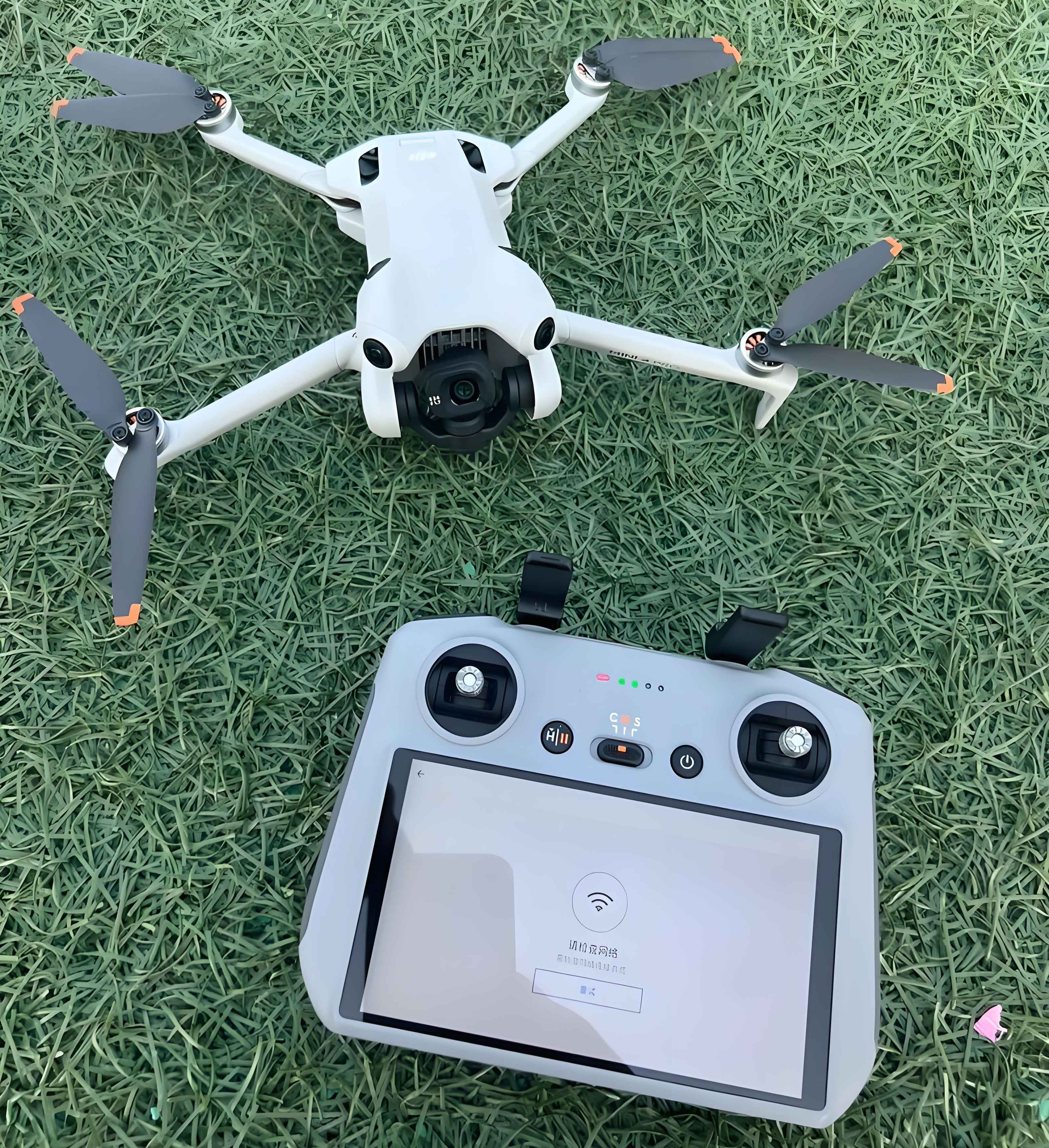
We evaluated wind resistance for operational safety using DJI Inspire1 (3060g) and DJI Air2S (595g) camera UAVs. Wind force directly impacts drone stability through aerodynamic torque:
$$ \tau = \frac{1}{2} \rho v^2 C_D A r $$
where $\tau$ is torque (Nm), $\rho$ is air density (kg/m³), $v$ is wind velocity (m/s), $C_D$ is drag coefficient, $A$ is cross-sectional area (m²), and $r$ is moment arm (m). Testing revealed critical stability thresholds:
| Beaufort Scale (Steady Wind) |
Wind Speed (m/s) |
DJI Inspire1 (3060g) | DJI Air2S (595g) |
|---|---|---|---|
| 0-3 | 0-5.4 | Stable, no yaw No tilt, smooth footage |
Stable, no yaw No tilt, smooth footage |
| 4 (Moderate) | 5.5-7.9 | Stable, no yaw No tilt, smooth footage |
Minor yaw ≤20° tilt, footage jitter |
| 5 (Fresh) | 8.0-10.7 | Controllable yaw Visible tilt, minor jitter |
Not recommended |
| 6 (Strong) | 10.8-13.8 | Not recommended | Not recommended |
Stability boundaries correlate with drone mass-to-area ratio. For camera UAV operations, maximum safe wind speed $v_{max}$ follows:
$$ v_{max} = k \sqrt{\frac{m}{A C_D}} $$
where $m$ is mass (kg), $k$ is stability constant (determined empirically). The DJI Inspire1 demonstrated superior wind resistance due to higher mass and optimized aerodynamics.
During the 2016 Xinyi catastrophic rainfall (495.5mm/48h), camera drones conducted post-disaster reconnaissance where ground access was blocked. Flight parameters included:
- Altitude: 100-300m AGL
- Coverage: 15km² per sortie
- Positioning: GPS/GLONASS with ≤1.5m horizontal accuracy
The camera UAVs documented critical infrastructure damage through orthomosaic mapping, with georeferencing error $\epsilon$:
$$ \epsilon = \sqrt{ \left( \frac{\partial x}{\partial h} \Delta h \right)^2 + \left( \frac{\partial y}{\partial \theta} \Delta \theta \right)^2 } $$
where $\Delta h$ is altitude error and $\Delta \theta$ is angular orientation error. Data transmission via LTE networks enabled real-time situational awareness at emergency headquarters.
Camera drone operations provided three-dimensional disaster assessment:
| Disaster Type | Camera UAV Contribution | Operational Advantage |
|---|---|---|
| Urban Flooding | Inundation depth mapping Drainage obstruction identification |
6× faster coverage than ground teams |
| Landslides | Slope displacement vectors Crack pattern documentation |
Access to unstable terrain |
| Mudflows | Sediment deposition analysis Channel blockage assessment |
Hazard zone avoidance |
These camera UAVs generated quantitative damage assessments within 4 hours of deployment, accelerating relief resource allocation. The technology proved particularly valuable for identifying secondary disaster risks through temporal change detection algorithms:
$$ \Delta I = \frac{|I_{t2} – I_{t1}|}{\max(I_{t1}, I_{t2})} \times 100\% $$
where $I_{t1}$ and $I_{t2}$ represent georeferenced image intensity at different times.
Current camera drone capabilities continue evolving with significant advancements:
- Endurance: >30 minutes flight time
- Range: >4km operational radius
- Sensors: Multispectral and thermal payloads
Future meteorological applications will leverage swarm camera UAV configurations for large-area monitoring. Autonomous flight planning algorithms will optimize path efficiency $P$:
$$ P = 1 – \frac{\sum_{i=1}^{n} d_i}{D_{total}} $$
where $d_i$ represents redundant path segments and $D_{total}$ is total survey distance. Integration with AI-powered analytics will enable real-time disaster prediction from aerial data streams.
Camera drone technology fundamentally transforms meteorological disaster response, providing critical geospatial intelligence while ensuring personnel safety. As these camera UAV systems advance in robustness and analytical capabilities, they will become indispensable tools for climate resilience planning and emergency management worldwide.