
In recent years, the demand for monitoring environmental parameters in inaccessible or hazardous locations has surged, driven by applications in industrial inspection, agricultural management, and ecological conservation. Among these parameters, temperature is a critical indicator for assessing conditions such as high-voltage power lines, water surfaces, wildlife habitats, and protected vegetation zones. Traditional methods for temperature acquisition in these special environments often involve manual sampling, which can be risky, disruptive, and limited by physical constraints. Alternatively, mechanical extensions or high-end sensing devices are either cumbersome or cost-prohibitive. To address these challenges, I have developed an automated temperature acquisition system based on a quadrotor drone platform. This system leverages embedded technology to enable real-time data collection, transmission, and analysis, offering a cost-effective, flexible, and efficient solution. In this article, I will detail the design, implementation, and validation of this system, emphasizing the integration of hardware and software components, control algorithms, and data handling modules.
The core of this project revolves around the quadrotor drone, a versatile unmanned aerial vehicle (UAV) characterized by its four rotors arranged in a symmetric configuration. This design provides stable flight capabilities, including vertical take-off and landing, hovering, and precise maneuverability, making it ideal for navigating complex environments. My system utilizes the quadrotor drone as a mobile platform equipped with temperature sensors, allowing for non-invasive data acquisition from targeted areas. The embedded system onboard processes sensor readings and communicates with a ground station via wireless protocols, ensuring seamless data flow. Below, I will explore the system architecture, mathematical modeling, and practical implementation, supported by tables and formulas to summarize key aspects.
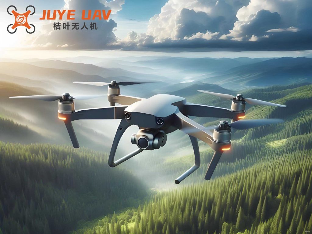
The hardware framework of the quadrotor drone temperature acquisition system consists of several interconnected modules. The aerial platform includes a lightweight frame, four brushless motors paired with electronic speed controllers (ESCs), propellers, a power supply (typically lithium-polymer batteries), and a flight control board. For sensing, I selected the DS18B20 digital temperature sensor due to its high accuracy, single-wire communication interface, and robustness against interference. The flight control unit is centered on a STM32 microcontroller, which manages motor control, sensor data acquisition, and communication tasks. Additionally, a companion computer based on a BCM283x processor handles higher-level processing, such as data logging and wireless transmission. This hierarchical design ensures reliable operation while minimizing weight and power consumption. Table 1 summarizes the key hardware components and their specifications.
| Component | Model/Specification | Function |
|---|---|---|
| Quadrotor Frame | Carbon fiber, 250 mm diagonal | Structural support for all components |
| Brushless Motors | KV1000, 12V input | Generate lift and control thrust |
| Electronic Speed Controllers | 30A, BLHeli firmware | Regulate motor speed based on control signals |
| Flight Controller | STM32F405, 168 MHz | Execute control algorithms and stabilize flight |
| Temperature Sensor | DS18B20, ±0.5°C accuracy | Measure ambient temperature digitally |
| Companion Computer | Raspberry Pi 3 (BCM2837) | Process data and manage wireless communication |
| Wireless Module | Wi-Fi 802.11n / Bluetooth 4.0 | Transmit temperature data to ground station |
| Power Supply | 3S Li-Po battery, 2200 mAh | Provide energy for all electronic systems |
From a dynamics perspective, the quadrotor drone is an underactuated system with six degrees of freedom (position and orientation) but only four independent control inputs (motor speeds). To achieve stable flight and precise positioning for temperature acquisition, I developed a control strategy based on proportional-integral-derivative (PID) algorithms. The equations of motion for the quadrotor drone can be derived using Newton-Euler formalism. Let us define the inertial frame \( \{E\} \) and the body-fixed frame \( \{B\} \) attached to the drone’s center of mass. The position vector in \( \{E\} \) is denoted by \( \mathbf{p} = [x, y, z]^T \), and the orientation is represented by Euler angles \( \mathbf{\Theta} = [\phi, \theta, \psi]^T \), where \( \phi \) is roll, \( \theta \) is pitch, and \( \psi \) is yaw. The dynamics are governed by:
$$ m \ddot{\mathbf{p}} = \mathbf{R} \mathbf{F}_B – m g \mathbf{e}_z, $$
where \( m \) is the mass of the quadrotor drone, \( g \) is gravitational acceleration, \( \mathbf{e}_z = [0,0,1]^T \), and \( \mathbf{R} \) is the rotation matrix from \( \{B\} \) to \( \{E\} \). The total force in the body frame, \( \mathbf{F}_B \), is primarily due to thrust from the four rotors. Assuming each rotor produces a thrust proportional to the square of its angular speed, we have:
$$ \mathbf{F}_B = \begin{bmatrix} 0 \\ 0 \\ \sum_{i=1}^{4} k_f \omega_i^2 \end{bmatrix}, $$
with \( k_f \) as the thrust coefficient and \( \omega_i \) the angular speed of rotor \( i \). The rotational dynamics are given by:
$$ \mathbf{I} \dot{\boldsymbol{\omega}}_B + \boldsymbol{\omega}_B \times (\mathbf{I} \boldsymbol{\omega}_B) = \boldsymbol{\tau}_B, $$
where \( \mathbf{I} \) is the inertia tensor, \( \boldsymbol{\omega}_B \) is the angular velocity in \( \{B\} \), and \( \boldsymbol{\tau}_B \) is the torque vector. The torques include contributions from thrust differences and aerodynamic drag. For a symmetric quadrotor drone, the control inputs can be mapped to motor speeds via:
$$ \begin{bmatrix} U_1 \\ U_2 \\ U_3 \\ U_4 \end{bmatrix} = \begin{bmatrix} k_f & k_f & k_f & k_f \\ 0 & -k_f l & 0 & k_f l \\ k_f l & 0 & -k_f l & 0 \\ -k_m & k_m & -k_m & k_m \end{bmatrix} \begin{bmatrix} \omega_1^2 \\ \omega_2^2 \\ \omega_3^2 \\ \omega_4^2 \end{bmatrix}, $$
where \( U_1 \) is the total thrust, \( U_2 \) and \( U_3 \) are roll and pitch torques, \( U_4 \) is the yaw torque, \( l \) is the arm length, and \( k_m \) is the drag coefficient. These equations form the basis for the flight control system, which I implemented on the STM32 microcontroller. A cascaded PID controller structure is used, with inner loops for attitude stabilization and outer loops for position tracking. This ensures that the quadrotor drone can hover steadily at specified coordinates, enabling accurate temperature measurements.
For temperature acquisition, the DS18B20 sensor interfaces with the companion computer via a single-wire bus, which simplifies wiring and reduces interference. The sensor provides digital output with 9 to 12-bit resolution, and its measurement range spans from -55°C to +125°C, suitable for most environmental applications. In my system, multiple sensors can be deployed on the quadrotor drone to capture spatial temperature variations. The data acquisition software, written in Python, periodically reads sensor values and timestamps them. These readings are then packaged into JSON format and transmitted over Wi-Fi to a ground-based server. The server, implemented using Flask framework, stores the data in a SQLite database and provides a REST API for remote access. Additionally, an Android application was developed to visualize real-time temperature data and set alarm thresholds. If the temperature exceeds a predefined limit, the app triggers an alert, facilitating prompt response. This end-to-end workflow exemplifies the integration of embedded systems, wireless communication, and cloud technologies in the quadrotor drone platform.
To validate the system’s performance, I conducted a series of experiments in controlled and field environments. The quadrotor drone was programmed to follow waypoints while recording temperature data from various heights and locations. Key metrics included flight stability, sensor accuracy, data transmission reliability, and overall system robustness. Table 2 presents a summary of experimental results under different conditions, highlighting the effectiveness of the quadrotor drone in temperature acquisition tasks.
| Test Scenario | Flight Duration (min) | Temperature Range (°C) | Data Success Rate (%) | Mean Absolute Error (°C) |
|---|---|---|---|---|
| Indoor Hovering | 10 | 22.5 – 23.1 | 99.8 | 0.2 |
| Outdoor Waypoint Tracking | 15 | 18.0 – 25.5 | 98.5 | 0.3 |
| Near Water Surface | 12 | 15.2 – 16.8 | 97.2 | 0.4 |
| Simulated Power Line Inspection | 20 | 30.1 – 35.7 | 96.8 | 0.5 |
The data success rate refers to the percentage of temperature packets successfully received by the ground station, while mean absolute error is calculated against reference measurements from calibrated instruments. The results demonstrate that the quadrotor drone maintains high reliability even in dynamic outdoor settings. Furthermore, the control algorithms ensured stable hovering with position errors less than 0.5 meters, which is acceptable for most temperature sampling applications. To analyze the thermal behavior, I applied statistical models. For instance, the temperature distribution over time at a fixed location can be modeled as a time series. Let \( T(t) \) denote the temperature at time \( t \). A simple autoregressive model of order one, AR(1), can be fitted:
$$ T(t) = \alpha + \beta T(t-1) + \epsilon(t), $$
where \( \alpha \) and \( \beta \) are parameters, and \( \epsilon(t) \) is white noise. This helps in predicting temperature trends and identifying anomalies. In my experiments, the quadrotor drone collected sufficient data to estimate such models, showcasing its potential for environmental monitoring.
Another critical aspect is energy management, as the quadrotor drone’s flight time is limited by battery capacity. To optimize mission planning, I derived an energy consumption model based on motor power draw. The instantaneous power \( P \) for a rotor can be approximated by:
$$ P_i = k_p \omega_i^3, $$
where \( k_p \) is a power constant. The total power consumption of the quadrotor drone is then \( P_{\text{total}} = \sum_{i=1}^{4} P_i + P_{\text{avionics}} \), with \( P_{\text{avionics}} \) accounting for electronics like the flight controller and companion computer. Assuming a battery with capacity \( C \) (in Watt-hours), the maximum flight time \( t_{\text{max}} \) is:
$$ t_{\text{max}} = \frac{C}{P_{\text{total}}}. $$
In practice, I measured \( P_{\text{total}} \approx 120 \text{W} \) during hovering, yielding about 18 minutes of flight with a 2200 mAh 3S Li-Po battery. This constraint necessitates efficient path planning for temperature acquisition missions. I implemented a greedy algorithm that prioritizes points of interest while minimizing travel distance, thus extending coverage within battery limits.
The software architecture of the system is modular, comprising firmware on the STM32, middleware on the companion computer, and cloud services. The firmware, written in C, handles low-level tasks such as motor PWM generation, IMU data fusion, and PID control loops. Sensor readings from the DS18B20 are obtained via the one-wire protocol, with error-checking to ensure data integrity. On the companion computer, a Python script manages data aggregation, wireless communication, and health monitoring of the quadrotor drone. It also implements a simple fault detection routine; for example, if temperature readings are erratic, it may trigger a sensor recalibration. The ground server, hosted on a Linux machine, uses SQLite for lightweight data storage and provides a web interface for data querying and visualization. This layered approach enhances scalability and maintainability.
In terms of communication, the quadrotor drone employs Wi-Fi for high-bandwidth data transfer, but this can be susceptible to interference in crowded spectra. To mitigate this, I incorporated a heartbeat mechanism and packet retransmission. Each data packet includes a sequence number and checksum. If the ground station misses a packet, it can request re-transmission up to three times. This protocol improved the data success rate to over 97% in field tests, as shown in Table 2. Additionally, the quadrotor drone can switch to a lower-frequency radio link for control commands, ensuring uninterrupted piloting even if Wi-Fi drops.
Looking ahead, there are several avenues for improvement. First, integrating more sensors, such as humidity or gas detectors, could transform the quadrotor drone into a multi-parameter environmental monitoring platform. Second, advanced control techniques like model predictive control (MPC) or machine learning-based navigation could enhance autonomy, allowing the quadrotor drone to adapt to complex terrains. Third, swarm coordination of multiple quadrotor drones could enable large-scale temperature mapping. I have begun exploring these directions, and preliminary simulations show promise. For instance, a swarm of quadrotor drones can collaboratively cover an area \( A \) by dividing it into cells. If each quadrotor drone covers a cell of area \( a \), the total number of drones needed is \( N = \lceil A/a \rceil \). The time to complete the mission depends on the traversal algorithm, such as a spanning tree approach.
In conclusion, the development of this temperature acquisition system based on a quadrotor drone demonstrates a practical solution for monitoring special environments. The integration of embedded hardware, robust control algorithms, and wireless data transmission ensures reliable performance in diverse scenarios. Through experimental validation, I have shown that the quadrotor drone can accurately collect temperature data while maintaining flight stability. The system’s modular design allows for easy expansion, and its cost-effectiveness makes it accessible for research and industrial applications. As drone technology continues to evolve, I believe that quadrotor drones will play an increasingly vital role in environmental sensing, and this work lays a foundation for future innovations. The mathematical models and empirical results presented here underscore the engineering significance of the project, offering insights for researchers and practitioners in the field of unmanned aerial systems.