
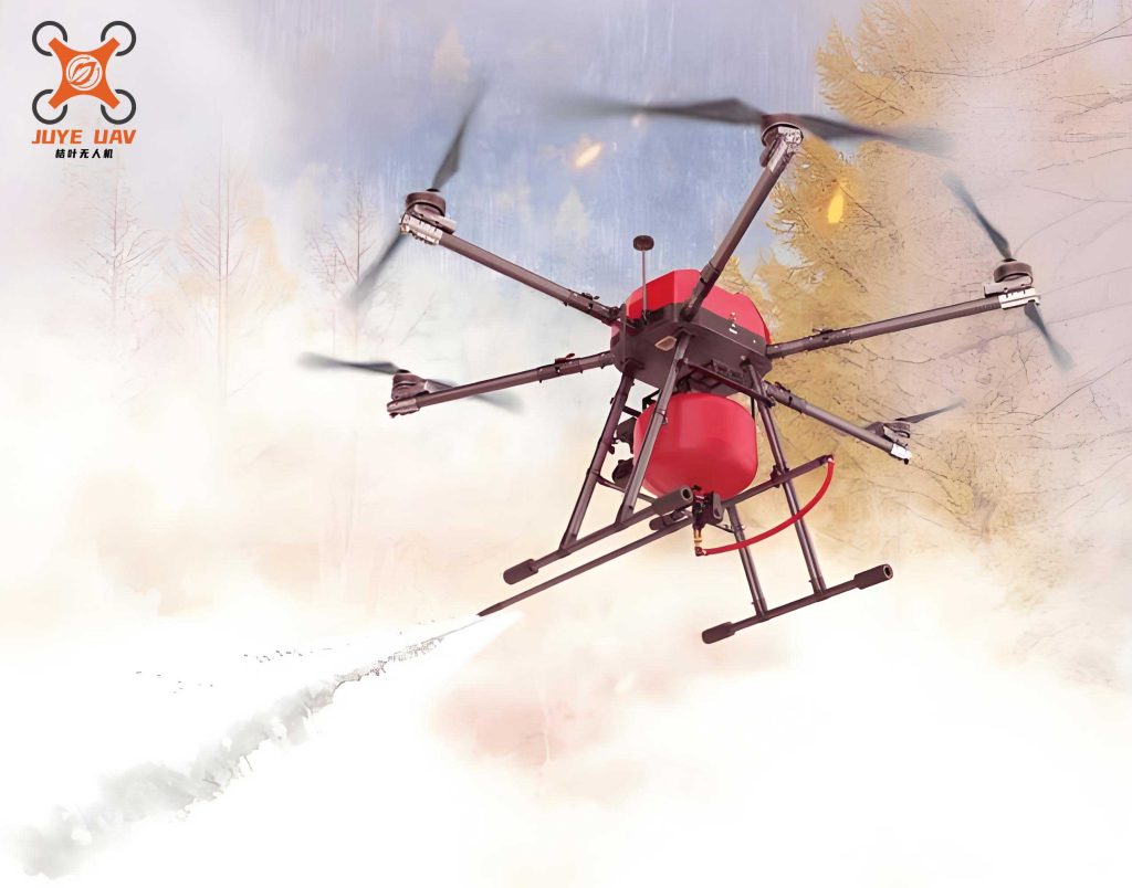
The increasing severity of forest fires presents a formidable global challenge. The inherent complexity of forest environments, characterized by dense foliage, variable terrain, and rapidly changing conditions, severely impedes ground-based firefighting efforts. Determining the precise direction and velocity of flame front propagation from the ground is often difficult, leading to reduced operational efficiency and strategic delays. Furthermore, the sudden and erratic nature of fire behavior poses a direct and significant threat to the safety of firefighters. The integration of fire drone technology into forest fire management protocols offers a transformative solution. These unmanned aerial vehicles (UAVs) are capable of conducting aerial reconnaissance over fire scenes, providing a comprehensive, top-down view that is inaccessible to ground teams. More importantly, they enable the continuous, real-time monitoring and tracking of dynamic fire perimeters. This capability to deliver precise and timely situational awareness is critical for informed decision-making at command centers and for ensuring the safety of personnel on the front lines.
Traditional approaches to fire drone-based detection often rely on transmitting raw video feeds to ground stations for centralized processing. This method introduces latency, depends on stable, high-bandwidth communication links, and fails to provide immediate, on-the-spot analysis of fire behavior. Consequently, there is a pressing need for intelligent edge processing systems onboard UAVs that can analyze visual data in real time to extract actionable intelligence, such as fire intensity level and spread vectors, without the overhead of full video transmission. This paper presents a comprehensive edge system for real-time forest fire monitoring deployed on a fire drone. The core of this system is a novel adaptive wavelet analysis algorithm designed for dynamic flame edge extraction. By analyzing these edges across successive video frames, the system infers the fire’s spread direction and speed. This processing is implemented on a Field-Programmable Gate Array (FPGA) platform, chosen for its high-speed parallel processing capabilities and suitability for embedded, power-constrained environments like UAVs. The system integrates video acquisition from a stereo camera setup, real-time fire analysis, and wireless data transmission via a Long-Range (LoRa) module to relay concise fire status reports to a command center. This closed-loop system enhances situational awareness and response coordination for firefighting operations.
Adaptive Wavelet-Based Algorithm for Fire Front Analysis
Effective fire monitoring requires extracting two key types of information from visual data: color features for initial fire detection and, more critically, dynamic features for behavioral analysis. The dynamic information, particularly the evolving fire edge or perimeter, is essential for estimating spread direction and velocity. Traditional edge detection operators (e.g., Sobel, Prewitt, Canny) often struggle in fire scenarios due to high noise susceptibility, weak edge response to flickering flames, and discontinuities in the detected perimeter.
Wavelet transform offers a superior multi-resolution framework for edge detection. It decomposes an image at multiple scales, allowing the separation of signal (edge details) from noise. A small analysis scale captures fine edge details with high spatial precision but is noise-sensitive. A large scale provides robust noise immunity but yields coarser, less precise edges. The fixed thresholds used in conventional wavelet-based edge detection lack the flexibility to adapt to the highly variable local contrast and noise conditions present in aerial fire imagery. To address this, we propose an Adaptive Lifting Wavelet Edge Extraction algorithm. The lifting scheme implementation of the wavelet transform (e.g., the 5/3 filter used here) is computationally efficient, making it ideal for hardware implementation on the FPGA. The core innovation is a threshold, $T_{ij}$, that adapts dynamically based on local image characteristics within each wavelet sub-band:
$$T_{ij} = \frac{N_{ij} \cdot \lambda_{ij}}{2^{i-1}}$$
where:
- $i$ represents the decomposition level (scale).
- $j \in {1,2,3}$ denotes the orientation (horizontal, vertical, diagonal).
- $N_{ij}$ is the Median Absolute Deviation of the high-frequency wavelet coefficients in sub-band $ij$, serving as a robust local noise estimator.
- $\lambda_{ij}$ is the local contrast coefficient, defined as $\lambda_{ij} = \frac{\sigma_{ij}}{\mu_{ij}}$, where $\mu_{ij}$ and $\sigma_{ij}$ are the mean and standard deviation of the coefficients in sub-band $ij$.
This adaptive threshold mechanism ensures that in high-contrast, likely edge-rich regions (high $\lambda_{ij}$), the threshold increases to suppress potential noise amplification. Conversely, in low-contrast areas, the threshold decreases to preserve subtle edge information. The term $2^{i-1}$ ensures that thresholds are appropriately scaled across different decomposition levels. The final fire edge map is obtained by applying this adaptive thresholding to the detail coefficients across all scales and orientations, followed by reconstruction.
Fire Behavior Inference from Dynamic Edges
Once the fire edge is extracted in consecutive video frames, the system analyzes its dynamics. First, to determine the precise geographical location of the fire front, a stereo vision-based ranging method is employed. The fire drone is equipped with a calibrated stereo camera pair. For a key point $P$ on the fire edge (e.g., the highest flame tip), its pixel coordinates $(u_L, v_L)$ and $(u_R, v_R)$ in the left and right images are identified. Using the pre-calibrated projection matrices $M_L$ and $M_R$ for the two cameras, the 3D world coordinates $(x, y, z)$ of point $P$ can be triangulated by solving the system derived from the camera equations:
$$
\begin{aligned}
Z^C_L \begin{bmatrix} u_L \\ v_L \\ 1 \end{bmatrix} &= M_L \begin{bmatrix} x \\ y \\ z \\ 1 \end{bmatrix} \\
Z^C_R \begin{bmatrix} u_R \\ v_R \\ 1 \end{bmatrix} &= M_R \begin{bmatrix} x \\ y \\ z \\ 1 \end{bmatrix}
\end{aligned}
$$
This calculation, efficiently implemented on the FPGA, provides real-time geo-referencing of critical fire points.
To assess fire behavior, the image is divided into an $m \times n$ grid of small regions. For each region, the movement of the fire edge between two frames ($n_1$ and $n_2$) separated by a known time interval $\Delta t$ is analyzed. The dominant direction of edge advancement within a region votes for the overall fire spread trend. The instantaneous fire spread speed $V$ is calculated based on the displacement of a characteristic edge point, such as the easternmost front:
$$V = \frac{\sqrt{(x_2 – x_1)^2 + (y_2 – y_1)^2}}{\Delta t}$$
where $(x_1, y_1)$ and $(x_2, y_2)$ are the world coordinates of the selected point in frames $n_1$ and $n_2$, respectively. Based on the calculated speed $V$, the fire intensity is classified into a discrete level $S$ to provide an immediate operational assessment. A sample classification scheme is summarized in Table 1.
| Spread Speed (V) | Intensity Level (S) | Operational Implication |
|---|---|---|
| $V < 0.15 \text{ m/s}$ | Low | Fire is contained and manageable. |
| $0.15 \leq V < 0.5 \text{ m/s}$ | Medium | Fire is active, requiring monitored response. |
| $V \geq 0.5 \text{ m/s}$ | High | Fire is aggressive; immediate action and personnel预警 are critical. |
The combined output—geo-location, spread direction vector, and intensity level $S$—forms a concise yet rich data packet for transmission, far more efficient than streaming full video.
FPGA-Based Edge System Design for the Fire Drone
The proposed algorithms are deployed on a hardware edge system centered around an FPGA. This design choice is pivotal for the fire drone application, as FPGAs provide the necessary high-throughput, low-latency, and parallel processing capabilities while maintaining relatively low power consumption. The system architecture integrates several key modules, as shown in the data flow and summarized in Table 2.
| Module | Primary Component/Interface | Key Function |
|---|---|---|
| Video Acquisition & Preprocessing | SDI Stereo Camera, BT.1120 Interface, DDR3 Memory Controller | Captures stereo video, converts RGB to YCbCr, manages frame buffering. |
| Fire Processing Core | Custom FPGA Logic (Pipelines & State Machines) | Implements adaptive wavelet edge extraction, stereo triangulation, and fire behavior analysis. |
| Communication & Control | LoRa Transceiver (SPI/UART), System Control Unit | Encapsulates fire data into packets and transmits them via long-range radio; manages system states. |
The video pipeline begins with the stereo camera feed. The FPGA configures the camera and captures the video stream via a BT.1120 interface. Incoming frames are converted from RGB to the YCbCr color space, and the luminance (Y) channel is stored in external DDR3 memory for processing. The fire processing core fetches frames, executes the adaptive wavelet transform for edge detection, and performs the frame-differencing and analysis logic to compute spread vectors and speed. The stereo triangulation module runs in parallel to provide geo-coordinates. This entire processing chain is pipelined and optimized for the FPGA’s architecture to achieve real-time performance.
Communication Protocol and System Integration
For reliable long-distance communication in remote forest areas where cellular networks may be absent, the system employs a LoRa (Long Range) wireless module. A lightweight, robust data encapsulation protocol is designed for communication between the fire drone (airborne unit) and the ground control station. The protocol defines two primary frame types, ensuring low overhead and high reliability. The structure of the key data frame (Type I) sent from the drone is outlined below:
Data Frame I (Drone to Ground Station):
[Frame Header: 0x55, 0xAA, 0x00, Drone_ID] | [Data Payload] | [Fault Code]
Payload Field | Size (Bytes) | Description
Longitude | 10 | Geographic longitude of fire front.
Latitude | 8 | Geographic latitude of fire front.
Battery Voltage | 1 | Drone battery status.
Fire Intensity Level (S) | 4 | Encoded level (e.g., 0x01 for Low, 0x04 for High).
Spread Direction | 8 | Bit-field representing 8 cardinal/intercardinal directions (e.g., 01 for spread detected).
The Fault Code field is used for system status alerts, such as reporting rapid altitude loss (Code 1). A second frame type (Type II) is used for ground-to-drone commands, such as triggering an emergency return-to-home procedure. This efficient protocol allows the fire drone to frequently transmit vital fire behavior metadata with minimal bandwidth usage, enabling effective monitoring over distances of several kilometers.
Experimental Validation and Results
The performance of the integrated system was validated using simulated forest fire scenarios captured in a controlled environment. Video sequences mimicking aerial footage of a spreading fire were processed in real-time by the FPGA system. The adaptive wavelet algorithm successfully extracted coherent and continuous fire perimeter edges from the noisy, dynamic video frames, outperforming standard Canny edge detection which produced more fragmented results under similar conditions. The stereo vision module accurately calculated the 3D coordinates of reference points, and the frame-difference analysis correctly identified the dominant spread direction. The system successfully generated data packets containing the fire’s location, a “High” intensity level (based on the simulated spread speed), and a spread vector, demonstrating the complete workflow from image acquisition to concise data reporting. The LoRa module reliably transmitted these packets to a base station receiver, confirming the practicality of the communication link. The FPGA implementation ensured the processing latency was on the order of milliseconds, fulfilling the requirement for real-time monitoring onboard the fire drone.
Conclusion
This paper presented a novel, self-contained edge monitoring system for fire drone applications in forest fire management. The system addresses key limitations of traditional methods by performing intelligent, real-time analysis onboard the UAV. The core technical contribution is an Adaptive Lifting Wavelet Edge Extraction algorithm that dynamically adjusts its parameters based on local image content, enabling robust detection of the dynamic fire front. Coupled with stereo vision-based localization and motion analysis, the system infers critical fire behavior parameters: geographical location, spread direction, and intensity level. The entire processing pipeline is efficiently implemented on an FPGA platform, and the derived metadata is transmitted via a long-range, low-power LoRa link using a dedicated protocol. Experimental results confirm that the system operates robustly in real-time, providing firefighters and command centers with timely, actionable intelligence about fire dynamics. This capability enhances operational efficiency, supports strategic decision-making, and ultimately contributes to improved firefighter safety and more effective wildfire suppression. The proposed system represents a significant step towards intelligent, autonomous fire drone systems for next-generation wildfire response.