
In my extensive experience with ecological monitoring, I have observed that drone remote sensing technology has revolutionized our approach to environmental protection. As a practitioner in this field, I firmly believe that effective drone training is the cornerstone of leveraging this technology for precise and efficient data collection. This article delves into the principles, applications, and optimizations of drone-based remote sensing, emphasizing how comprehensive drone training programs can enhance every aspect of ecological monitoring. From vegetation cover to atmospheric conditions, the integration of advanced sensors and robust training protocols enables us to tackle complex environmental challenges with unprecedented accuracy.
The technical foundation of drone remote sensing lies in the synergy between unmanned aerial vehicles (UAVs), various sensors, and data processing algorithms. In my work, I rely on drones equipped with optical, multispectral, thermal infrared, and LiDAR sensors to capture high-resolution data. These sensors detect spectral signatures, reflectance, and radiation from terrestrial features, allowing for detailed analysis of ecological parameters. For instance, the normalized difference vegetation index (NDVI) is a key metric derived from multispectral data to assess plant health:
$$ NDVI = \frac{NIR – Red}{NIR + Red} $$
where \( NIR \) represents the near-infrared band and \( Red \) is the red band. This formula, often used in drone training sessions, helps monitor vegetation dynamics. Additionally, data fusion techniques combine inputs from multiple sensors, enhancing the comprehensiveness of environmental assessments. Through dedicated drone training, operators learn to calibrate sensors, plan flight paths, and process raw data into actionable insights. Proper drone training ensures that we can handle the complexities of spectral analysis and machine learning integration for anomaly detection, such as identifying early signs of deforestation or pollution.
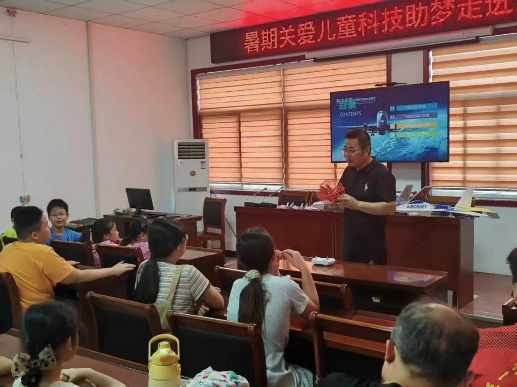
From my perspective, the advantages of drone remote sensing are manifold, but they are fully realized only with rigorous drone training. The table below summarizes key benefits and how training mitigates limitations:
| Advantage | Role of Drone Training |
|---|---|
| High-resolution data acquisition | Training in sensor operation and flight stability techniques ensures crisp imagery. |
| Flexibility in inaccessible areas | Pilots learn to navigate complex terrains like mountains or wetlands safely. |
| Real-time monitoring capabilities | Operators are trained for rapid deployment during environmental emergencies. |
| Cost-effectiveness | Efficient flight planning and maintenance skills reduce operational expenses. |
However, limitations persist, such as limited battery life and susceptibility to adverse weather. In my practice, I address these through advanced drone training that includes energy management strategies and meteorology education. For example, pilots learn to optimize flight durations using battery-efficient routes, and data analysts are trained to compensate for weather-induced noise in datasets. The complexity of data processing also demands specialized drone training in software tools like GIS and machine learning platforms, enabling teams to extract meaningful patterns from large volumes of imagery. Without continuous drone training, these challenges could undermine the reliability of ecological assessments.
In vegetation cover monitoring, I utilize drones to track plant health and growth trends. Multispectral sensors capture data that inform indices like NDVI, which correlates with chlorophyll content. Through drone training, I have refined methods for assessing forest canopies and agricultural fields. The following equation models leaf area index (LAI), a critical parameter for vegetation density:
$$ LAI = k \cdot \ln\left(\frac{I_0}{I}\right) $$
where \( k \) is an extinction coefficient, \( I_0 \) is incident light, and \( I \) is transmitted light. This formula is often covered in drone training modules for precision agriculture. Additionally, drone training programs teach operators to detect pests or diseases by analyzing spectral anomalies, thereby supporting targeted interventions. In wildfire management, trained drone teams conduct rapid surveys to map burn severity, using data to guide restoration efforts. The table below highlights key vegetation monitoring applications enhanced by drone training:
| Application | Sensor Type | Drone Training Focus |
|---|---|---|
| Crop health assessment | Multispectral | Calibration for nutrient deficiency detection |
| Forest degradation tracking | LiDAR and optical | 3D modeling and change analysis techniques |
| Wildfire damage evaluation | Thermal infrared | Heat signature interpretation and safety protocols |
For water environment monitoring, I deploy drones with multispectral and thermal sensors to measure parameters like turbidity, temperature, and algal blooms. Drone training is essential here, as operators must understand hydrogeological contexts to interpret data accurately. For instance, the relationship between water temperature \( T \) and pollution levels can be expressed as:
$$ \Delta T = \alpha \cdot P + \beta $$
where \( \Delta T \) is temperature deviation, \( P \) is pollutant concentration, and \( \alpha, \beta \) are coefficients derived from empirical studies. In drone training workshops, I emphasize the use of these models to identify thermal plumes from industrial discharges. Moreover, training includes protocols for sampling water quality indicators in remote lakes or rivers, enabling real-time detection of contaminants like heavy metals or nutrients. The agility of drones, combined with skilled pilots from comprehensive drone training, allows for frequent assessments that traditional methods cannot match, ultimately safeguarding aquatic ecosystems.
Soil and land degradation monitoring benefits greatly from drone-based hyperspectral sensing. In my projects, I analyze soil moisture \( \theta \) using reflectance data, modeled by:
$$ \theta = \gamma \cdot R_{SWIR} + \delta $$
where \( R_{SWIR} \) is shortwave infrared reflectance, and \( \gamma, \delta \) are calibration constants. Drone training programs cover these analytical techniques to help identify erosion patterns or salinization. For land use change detection, operators learn to compare temporal imagery, quantifying degradation rates. A key aspect of drone training is teaching data integration with ground truthing, ensuring that remote observations align with field measurements. This holistic approach, fostered through ongoing drone training, supports sustainable land management policies by providing timely alerts on desertification or illegal land conversion.
Biodiversity conservation relies on drones for non-invasive species monitoring. Through my involvement, I have used high-resolution cameras to track animal populations and habitat conditions. Drone training here focuses on ethical guidelines to minimize disturbance, such as maintaining safe altitudes and using silent propulsion systems. For example, the detection probability \( D \) of a species can be estimated with:
$$ D = 1 – e^{-\lambda \cdot A} $$
where \( \lambda \) is encounter rate and \( A \) is area surveyed. This statistical tool is part of drone training curricula for wildlife biologists. Additionally, training includes identifying plant species via spectral libraries, aiding in the protection of endangered flora. By incorporating drone training into conservation strategies, we enhance our ability to combat poaching or deforestation, as trained operators can swiftly document illegal activities and relay evidence to authorities.
In atmospheric environment monitoring, drones equipped with gas sensors and LiDAR provide vertical profiles of pollutants like PM2.5 or CO₂. My work involves measuring concentration gradients to model dispersion, using equations such as the Gaussian plume model:
$$ C(x,y,z) = \frac{Q}{2\pi \sigma_y \sigma_z u} \exp\left(-\frac{y^2}{2\sigma_y^2}\right) \exp\left(-\frac{z^2}{2\sigma_z^2}\right) $$
where \( C \) is pollutant concentration, \( Q \) is emission rate, \( \sigma \) are dispersion parameters, and \( u \) is wind speed. Drone training is critical for operating these sensitive instruments and interpreting results in dynamic weather conditions. Trained teams can respond to industrial accidents by mapping pollutant clouds in real-time, supporting emergency responses. Furthermore, drone training programs often simulate scenarios like chemical spills, preparing operators for high-stakes missions that protect public health.
To optimize drone remote sensing in ecological monitoring, I advocate for targeted measures centered on drone training. First, improving data accuracy requires advanced training in sensor calibration and flight stabilization. For example, using differential GPS and inertial measurement units (IMUs), operators learn to reduce positional errors, enhancing data precision. The formula for error reduction \( E \) through training can be approximated as:
$$ E = E_0 \cdot e^{-t/\tau} $$
where \( E_0 \) is initial error, \( t \) is training duration, and \( \tau \) is a time constant. Second, standardizing data protocols necessitates drone training on uniform formats and processing workflows. I have developed training modules that teach metadata tagging and cloud-based sharing, ensuring interoperability across studies. Third, legal compliance is bolstered by drone training that covers aviation regulations and privacy laws. Pilots trained in these aspects can navigate no-fly zones and obtain necessary permits, reducing operational risks. The table below summarizes optimization strategies linked to drone training:
| Optimization Area | Drone Training Component | Expected Outcome |
|---|---|---|
| Data precision enhancement | Hands-on sessions with high-end sensors and AI tools | Reduced noise and higher resolution outputs |
| Standardization of workflows | Courses on data management and quality control | Improved data comparability and reuse |
| Regulatory adherence | Workshops on national and international drone laws | Safer operations and fewer legal incidents |
| Emergency response readiness | Simulated drills for pollution events or disasters | Faster and more effective crisis management |
In conclusion, my journey with drone remote sensing has underscored that drone training is indispensable for maximizing its ecological benefits. As technology evolves—with longer battery life, smarter sensors, and better automation—the need for specialized drone training will only grow. I envision future programs incorporating virtual reality simulations and AI-driven analytics training, further empowering environmental stewards. By investing in comprehensive drone training, we can achieve more accurate, real-time monitoring that informs conservation actions and policies, ultimately fostering a sustainable planet. Through continuous learning and adaptation, drone training will remain at the heart of innovative ecological surveillance.