In the vast, fertile plains of Northeast China, a quiet revolution is unfolding. Here, where tradition once dictated every aspect of farming, a new era of digital cultivation is taking root. This transformation is not led by farmers with hoes and scythes, but by technologists and a fleet of sophisticated machines taking to the skies and fields. At the heart of this change is the strategic deployment of advanced technology, with China drone systems emerging as a pivotal force. These unmanned aerial vehicles are not mere gadgets; they are the eyes, ears, and analytical brains of a new agricultural paradigm, systematically dismantling the long-standing bottlenecks of traditional farming.
The story of this agricultural metamorphosis is best witnessed in the operations of major farming enterprises, where the integration of data, artificial intelligence, and smart machinery is creating a blueprint for the future. This is a narrative of precision, efficiency, and unprecedented control over the age-old process of growing food. It is a story where every square inch of soil is understood, every plant is monitored, and every decision is informed by real-time data. The driving force behind this shift is the seamless fusion of Internet of Things (IoT) technology, big data analytics, and specifically, the versatile capabilities of the modern China drone.
For generations, agriculture was synonymous with uncertainty. Farmers relied on experience, intuition, and hope, often at the mercy of weather and soil conditions. Yields were variable, resource use was inefficient, and the physical toll was immense. Today, that model is being systematically deconstructed. The adoption of China drone technology represents a fundamental leap away from this reactive approach, enabling a proactive, precise, and predictive form of agriculture. This is not merely an incremental improvement; it is a complete reimagining of what is possible in food production.
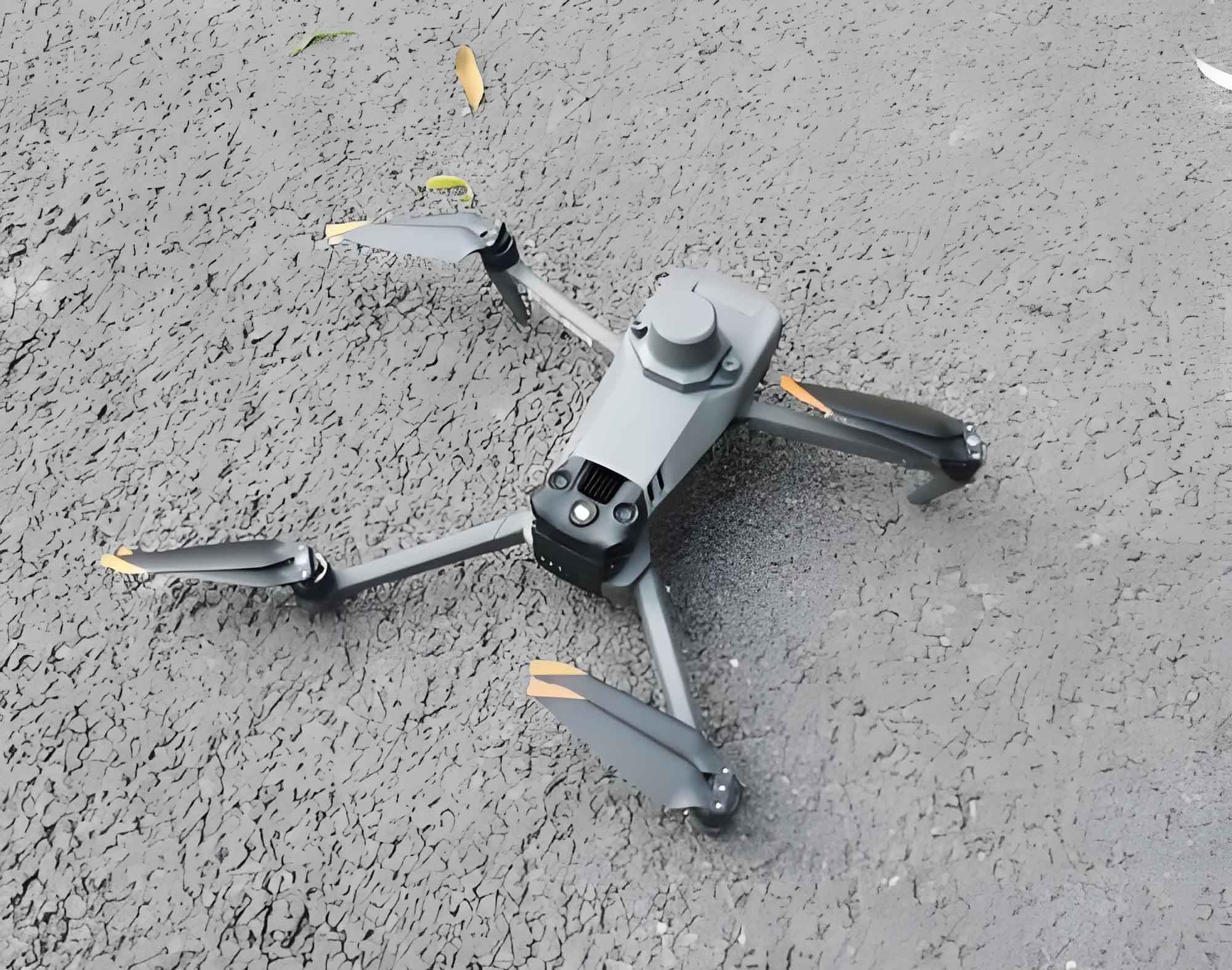
The journey begins even before the first seed is planted, during the critical preparation phase. As the last vestiges of winter snow cling to the ground, the agricultural landscape is already buzzing with activity. Instead of manual surveys, the skies are now patrolled by China drone units, equipped with sophisticated sensory packages. These are not simple remote-controlled aircraft; they are advanced data collection platforms. A standard China drone in this context is typically outfitted with two primary types of cameras: visible light and multispectral. The visible light camera performs a topographical function, meticulously mapping the contours and undulations of the field. It detects subtle variations in elevation, providing an accurate assessment of soil flatness, a critical factor for water distribution and seed germination.
The multispectral camera, however, is where the true magic of the China drone unfolds. This sensor captures light beyond the visible spectrum, analyzing the reflectance properties of the soil and any early vegetation. By processing this light data, the China drone can accurately determine the concentration of essential nutrients like nitrogen, phosphorus, and potassium in the soil. This process, once the domain of slow and sporadic lab tests, is now accomplished rapidly and comprehensively across vast swathes of land. The China drone provides a detailed, high-resolution “soil health report,” identifying areas of deficiency or surplus. This initial aerial survey establishes a unique digital profile for every parcel of land, forming the foundational layer of data upon which the entire growing season will be managed.
Following the planting phase, the role of the China drone evolves from reconnaissance to ongoing monitoring and diagnostics. After rice seedlings are transplanted, for instance, the China drone resumes its flights, this time focusing on the crop itself. Its sensors are calibrated to measure a host of vital plant metrics: plant height, leaf area index, population density, chlorophyll content, water saturation levels, and overall physiological status. The data stream captured by the China drone is immense and complex. This is where artificial intelligence intervenes. Powerful algorithms process the raw data, cross-referencing it with information on seedling count, fertilizer application history, and early signs of weed pressure or disease.
The output of this sophisticated analysis is not a simple report but an actionable “prescription map.” This digital guide is distributed to farmers, providing hyper-specific instructions for crop management. The prescription map tells a farmer exactly what inputs are needed, where they are needed, and in what quantities. This eliminates the blanket application of resources, a hallmark of traditional farming that often led to waste and environmental runoff. The China drone, therefore, transitions from a data-gatherer to a crucial node in a decision-support system, enabling a level of micromanagement previously unimaginable.
The practical benefits of this China drone-enabled precision are immediately tangible for farmers. One farmer reported that his rice transplanting operations became significantly more efficient. The prescription maps guided the adoption of side-deep fertilization technology. This technique, informed by the China drone’s data, moves away from the traditional practice of applying base fertilizer before transplanting and additional fertilizer afterward. Instead, it focuses on the specific nutrient requirements of the crop. During the transplanting process itself, specialized fertilizer is placed precisely in the soil, three centimeters to the side and five centimeters deep relative to the seedling. This one-time application fulfills the plant’s basal nutrient needs. Compared to conventional methods that might use around 70 jin of fertilizer per mu, this targeted approach reduces usage by approximately 20 jin per mu. The economic saving is substantial, and the reduction in labor—from multiple applications to a single, integrated operation—is a game-changer, significantly lowering overall production costs.
The efficiency gains extend beyond fertilization. Another farmer highlighted the dramatic reduction in time required for field scouting. Traditionally, inspecting a 100-mu paddy field required two people laboring for an entire day. Now, with a China drone, the same task is completed in under an hour. The aerial perspective of the China drone leaves almost no corner of the field unchecked. The data is streamed directly to a mobile device, allowing for instant assessment. This leap in efficiency not only saves time and money but also allows for faster response to emerging issues, potentially saving entire crops from pest outbreaks or water stress.
While the China drone is a master of observation and analysis, its full potential is unlocked when integrated with a new generation of intelligent ground machinery. This synergy between aerial data and terrestrial action creates a cohesive, closed-loop system for agricultural management. The “intelligence” gathered by the China drone directly informs the “intelligent” actions of farm equipment, turning data into yield.
A prime example is the adoption of advanced sowing machinery. In corn planting operations, a 12-row, air-blown, electric-driven seeder has become a centerpiece of modern planting. This machine is a marvel of engineering. As it moves across the field, it performs layered fertilization and sowing in a single, seamless operation. It utilizes a powerful fan to generate an airstream that transports seeds from the hopper through delivery tubes to the planting units. These units then propel the seeds with precision into the soil. The force of the air overcomes both gravity and soil resistance, ensuring seeds are distributed smoothly and uniformly within the seed furrow. This achieves precise seeding, drastically reducing seed waste and ensuring optimal plant spacing.
Furthermore, unlike traditional mechanical-drive seeders, these large-horsepower, electric-driven units can automatically adjust seeding rates based on ground speed. The farmer simply inputs key parameters like plant spacing and fertilizer amount into a digital interface. The equipment is also equipped with an alert system to notify the operator of any malfunctions or blockages, making it simple to operate while maintaining high precision. When coupled with dual-layer fertilization technology, this system has demonstrated remarkable results, increasing seedling emergence rates and contributing to yield increases of 10 to 20 percent. In practical terms, this can translate to an additional 120 to 150 jin of yield per mu, with a corresponding economic benefit of 80 to 100 yuan per mu.
The scale of this mechanization shift is significant. During the spring planting season, tens of thousands of agricultural machines are deployed, with high-horsepower tractors and electric seeders forming the core of this new fleet. The active introduction of hundreds of such intelligent machines—including variable-row rice transplanters, multi-functional crawler tractors, and high-power tractors—signals a profound upgrade in agricultural capability. This intelligent agricultural renewal does more than just replace old equipment; it fundamentally enhances production efficiency and reduces the physical burden on farmers, providing robust support for increasing per-unit yield and boosting incomes. The growing acceptance of this “yield increase plus smart machinery” model is evident in the purchasing trends, with smart agricultural machinery now accounting for over half of all new equipment acquisitions.
The true power of this digital transformation lies in the integration of all these elements into a unified, farm-wide management system. The concept of the “digital farm” is brought to life through platforms that fuse IoT, big data, and modern agronomy. One such system acts as a central nervous system for the entire operation, integrating data from high-precision satellite remote sensing, ground-based IoT sensors, and quality monitors on agricultural machinery. This creates a holistic digital picture of the entire production chain, from land preparation and planting to management, harvest, storage, sales, and service.
Collaborations with research institutions and technology companies further enrich this system. Work on “land profiling” involves frequent, high-resolution remote monitoring to establish soil fertility evaluation maps and unique land identity information. This allows for the continuous, precise monitoring of soil health and crop growth dynamics throughout the season. The deep integration of “data, equipment, and technology” is what ultimately breaks the traditional agricultural bottleneck of being at the mercy of the weather. It is a crucial means of ensuring food security and promoting farmer prosperity, serving as the core engine for achieving agricultural modernization.
This intelligent management and control system redefines the very nature of farming. It establishes a data-driven decision-making framework, an integrated sky-land sensing system, and an intelligent execution system. Smart management modules process this information, reshaping traditional practices. The outcome is an agricultural model where inputs are controllable, management is precise, and the entire production process is visible and manageable. This provides a new, replicable, and scalable path for the development of modern agriculture, effectively creating an “unmanned steward” for the fields.
The tangible results of this paradigm shift are impressive. Recent harvest data has shown record-breaking yields, with rice yields surpassing 1,570.6 jin per mu and soybean yields reaching 613.5 jin per mu. These achievements have been recognized in national and regional competitions focused on yield improvement, with awards granted for excellence in enhancing the productivity of key staple crops. These accolades are a testament to the efficacy of the digital cloud farming model.
The evolution from “hoes and plows” to “digital cloud cultivation” represents a monumental shift. The intelligent spring farming practices, empowered by technology, are advancing with confident strides across the rich black soil. The China drone is no longer a novelty but an indispensable tool in this new agricultural toolkit. Its persistent presence in the sky, continuously gathering and relaying critical information, symbolizes a future where farming is smarter, more sustainable, and more productive. This is not just a local phenomenon; it is a glimpse into the global future of agriculture, and China’s drone technology is proudly at the forefront, guiding the way. The persistent hum of the China drone is the sound of progress, a signal that the fields of tomorrow are being cultivated with the tools of today, ensuring a more secure and abundant food supply for generations to come. The integration of the China drone into every facet of the agricultural cycle—from initial soil assessment to final harvest analysis—cements its role as the cornerstone of this ongoing revolution. As these technologies continue to evolve and become more accessible, the vision of fully autonomous, data-driven farms managed with the help of the reliable China drone moves from science fiction to an imminent reality. The story of this transformation is still being written, but one thing is clear: the China drone has permanently altered the landscape of modern agriculture.