As an observer and analyst of technological advancements, I have witnessed the rapid evolution of unmanned aerial vehicles (UAVs), particularly in the civilian sector. Since World War II, and especially after the Gulf War, UAVs have emerged as intelligent and informationalized tools, playing crucial roles in reconnaissance, surveillance, communications, and long-range attacks. In recent years, the application of civilian UAVs in administrative management, industrial and agricultural production, and commercial domains has expanded significantly. With technological progress, civilian UAVs are poised for a new wave of rapid development across broad fields. However, it is noteworthy that alongside this growth, numerous urgent issues need addressing, especially the lag in regulatory policies compared to the pace of civilian UAV technological advancement.
Despite the release of multiple management documents by national aviation authorities, problems related to airspace division and access, flight declaration and supervision, flight safety, and privacy infringement remain unresolved. Therefore, there is a pressing need to strengthen the supervision of civilian UAVs and guide their healthy development scientifically. In this article, I will delve into the classification, current applications, and regulatory strategies for civilian UAVs, incorporating tables and formulas to summarize key aspects.
Classification of Civilian UAVs
Generally, a UAV consists of an airframe shell, flight control system, navigation system, power system, data transmission system, and corresponding hardware and software as needed. Civilian UAVs can be classified in three primary ways, which I outline below.
1. By Endurance and Range
Based on endurance, range, activity radius, and flight altitude, UAVs can be categorized as long-endurance, medium-range, short-range, and close-range. Typically, commercial consumer-grade civilian UAVs have an endurance of 0.5 to 1 hour, while military UAVs often fall into the long-endurance category. The endurance $E$ can be modeled as a function of power consumption $P$ and battery capacity $C$:
$$ E = \frac{C}{P} $$
where $E$ is in hours, $C$ in watt-hours, and $P$ in watts. For civilian UAVs, this formula helps in designing efficient power systems.
| Category | Endurance (hours) | Typical Range (km) | Common Use in Civilian UAVs |
|---|---|---|---|
| Long-endurance | > 24 | > 1000 | Military, some civilian surveillance |
| Medium-range | 5-24 | 100-1000 | Civilian mapping, monitoring |
| Short-range | 1-5 | 10-100 | Consumer drones, agricultural use |
| Close-range | < 1 | < 10 | Hobbyist drones, indoor applications |
2. By Platform Configuration
There are three main platform types for civilian UAVs. The choice of platform affects performance metrics such as speed and stability.
| Platform | Key Characteristics | Typical Speed (km/h) | Common Applications in Civilian UAVs |
|---|---|---|---|
| Fixed-wing UAV | Faster flight, requires runway | 50-200 | Aerial surveying, long-range missions |
| Unmanned Helicopter | Vertical take-off and landing, high flexibility | 0-100 | Precision agriculture, rescue operations |
| Multi-rotor UAV | Stable hover, easy operation, low cost | 0-50 | Photography, inspection, entertainment |
The lift force $L$ for a multi-rotor civilian UAV can be expressed as:
$$ L = n \cdot k \cdot \omega^2 $$
where $n$ is the number of rotors, $k$ is a thrust constant, and $\omega$ is the angular velocity. This formula underpins the stability of multi-rotor designs.
3. By Usage Domain
Civilian UAVs are often grouped into military, civilian, and consumer-grade categories, but for this discussion, I focus on the civilian and consumer aspects.
| Domain | Technical Requirements | Example Applications | Market Share in Civilian UAVs |
|---|---|---|---|
| Military UAVs | High sensitivity, altitude, speed, intelligence | Reconnaissance, combat | Minor overlap with civilian use |
| Civilian UAVs | Moderate speed and altitude, high operator training | Government services, disaster relief | Growing rapidly |
| Consumer-grade UAVs | Low cost, ease of use, limited payload | Videography, recreation | Largest segment by volume |
In essence, the civilian UAV ecosystem is diverse, catering to various needs from professional to personal use.
Current Applications of Civilian UAVs
The unique capabilities of civilian UAVs have led to widespread adoption in numerous fields, particularly in aerial imaging and data collection. Below, I explore key application areas, emphasizing the role of civilian UAVs.
1. Remote Sensing and Aerial Photography
Using advanced sensors, telemetry, communications, and GPS, civilian UAVs automate the acquisition of spatial remote sensing data for land, resources, and environment. Applications include weather monitoring, resource exploration, natural disaster assessment, and photogrammetry. Compared to satellite遥感, civilian UAV遥感 offers higher resolution and quicker response times. The ground sample distance (GSD) can be calculated as:
$$ \text{GSD} = \frac{H \cdot s}{f} $$
where $H$ is flight altitude, $s$ is sensor pixel size, and $f$ is focal length. This formula is critical for planning civilian UAV missions.
2. Maritime Supervision
Civilian UAVs are increasingly used for waterway safety监管 due to their mobility, timeliness, and low cost. In China, trials in Tianjin and Guangdong have demonstrated their effectiveness in monitoring航道, anchorages, and oil platforms. For instance, the coverage area $A$ of a civilian UAV patrol can be estimated as:
$$ A = v \cdot t \cdot w $$
where $v$ is speed, $t$ is time, and $w$ is scan width. This highlights the efficiency of civilian UAVs in maritime roles.
3. Disaster Relief
In disasters, civilian UAVs can access hazardous areas to capture imagery, compute affected areas, and aid in loss assessment. Examples include the 2008 Wenchuan earthquake and the 2015 Tianjin explosions. The disaster area $D$ can be mapped using civilian UAV data via integration:
$$ D = \int_{S} I(x,y) \, dS $$
where $I(x,y)$ is damage intensity over surface $S$. Civilian UAVs enable rapid computation of such integrals.
4. Agricultural Operations
In agriculture, civilian UAVs are revolutionizing pesticide spraying, offering savings in chemicals and water. A small unmanned helicopter can reduce pesticide use by 50% and water by 90%. The spraying efficiency $\eta$ for a civilian UAV can be expressed as:
$$ \eta = \frac{C_{\text{target}}}{C_{\text{applied}}} $$
where $C_{\text{target}}$ is pesticide reaching crops and $C_{\text{applied}}$ is total applied. Civilian UAVs optimize $\eta$ through precise control.
5. Communication Relay
During natural disasters, civilian UAVs can act as airborne relays to establish emergency networks. For example, exercises in China and projects like Facebook’s solar无人机 aim to cover remote areas. The communication range $R$ for a civilian UAV relay is given by:
$$ R = \sqrt{2hR_e} $$
where $h$ is altitude and $R_e$ is Earth’s radius. This extends the reach of civilian UAV networks.
6. Item Delivery
Drone logistics is a burgeoning application for civilian UAVs, with companies like Amazon and DHL exploring delivery services. In rural areas, civilian UAVs can transport medicines efficiently. The delivery time $T$ for a civilian UAV over distance $d$ is:
$$ T = \frac{d}{v} + t_{\text{load/unload}} $$
where $v$ is speed and $t_{\text{load/unload}}$ is handling time. Civilian UAVs minimize $T$ for critical supplies.
7. News Reporting
Media organizations use civilian UAVs to gather information safely, especially in dangerous zones. Outlets like CNN have obtained permits for such use. The risk reduction $R_r$ when using a civilian UAV instead of human reporters can be quantified as:
$$ R_r = 1 – \frac{P_{\text{drone}}}{P_{\text{human}}} $$
where $P$ is probability of harm. Civilian UAVs enhance journalistic safety.
To summarize these applications, I present a table highlighting the impact of civilian UAVs:
| Application Area | Key Benefit of Civilian UAVs | Typical Platform Used | Estimated Market Growth |
|---|---|---|---|
| Remote Sensing | High-resolution, timely data | Fixed-wing, multi-rotor | 20% annually |
| Maritime Supervision | Cost-effective monitoring | Fixed-wing, helicopter | 15% annually |
| Disaster Relief | Access to hazardous areas | Multi-rotor, fixed-wing | 25% in crisis periods |
| Agriculture | Precision spraying, resource saving | Multi-rotor, helicopter | 30% annually |
| Communication Relay | Rapid network deployment | Fixed-wing, solar-powered | Emerging niche |
| Item Delivery | Fast logistics in remote areas | Multi-rotor | 40% annually |
| News Reporting | Safe information gathering | Multi-rotor | 10% annually |
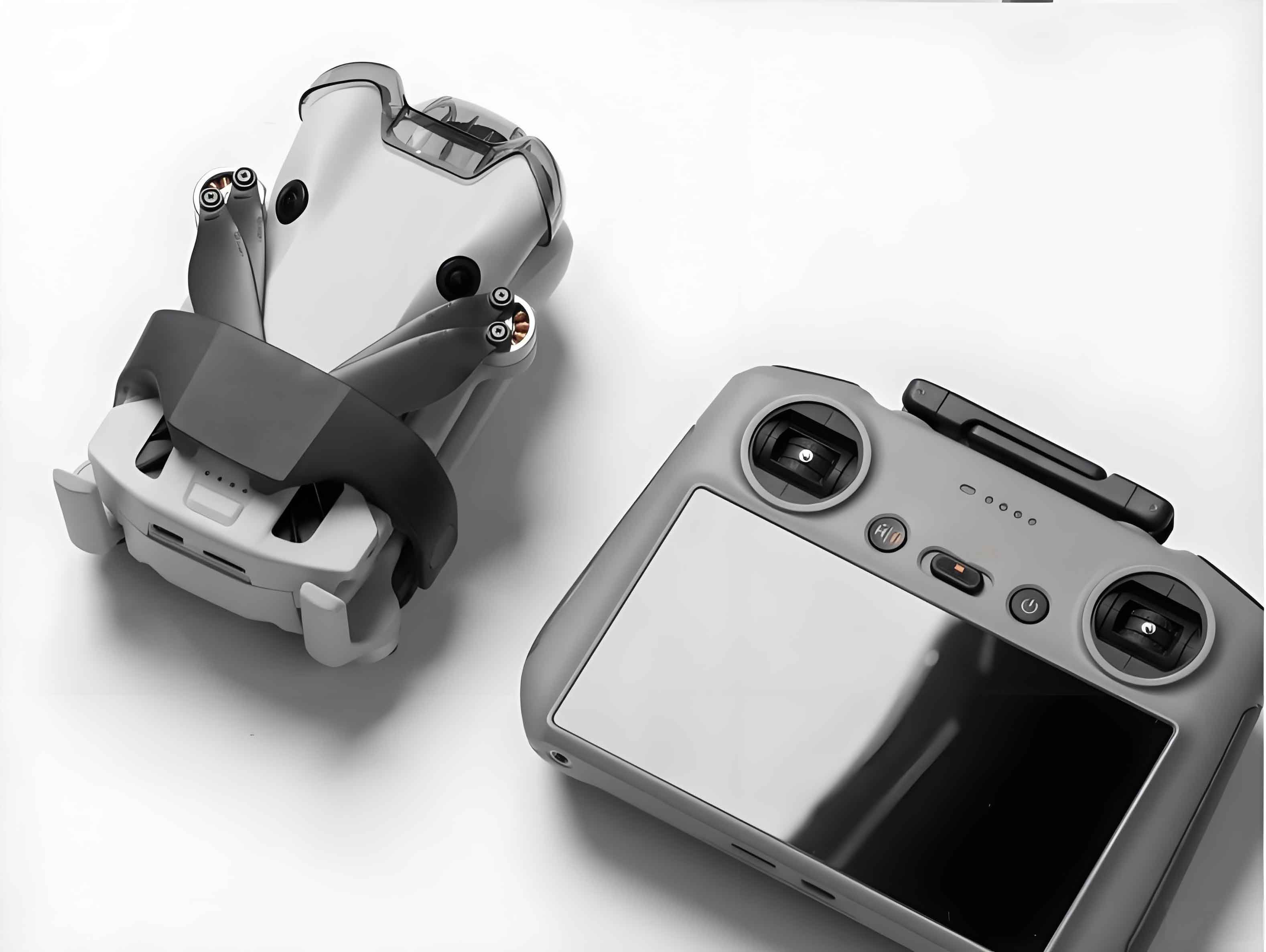
The image above illustrates a civilian UAV operating in low-altitude airspace, underscoring the importance of regulatory frameworks for safe integration.
Regulatory Strategies for Civilian UAV Usage
As civilian UAV adoption grows, regulatory challenges have become prominent. I will discuss the current regulatory landscape, key issues, and propose对策, with a focus on civilian UAVs.
Current Regulatory Status
In China, several documents guide civilian UAV management. For instance, the 2009 “Civil UAV Air Traffic Management Measures”参照 general aviation rules without specific classification. The 2013 “Provisional Regulations on Civil Unmanned Aircraft System Pilots” delegates pilot certification to行业协会. In 2015, export controls were imposed on certain UAVs for national security, but most civilian UAVs are exempt. Additionally, frequency regulations for model controllers pose compliance issues. Overall, regulations lag behind civilian UAV technology, creating gray areas in low-altitude监管.
Key Regulatory Problems
I identify three main issues affecting civilian UAVs:
- Imperfect Airspace Management for Civilian UAVs: Low-altitude airspace below 1,000 meters lacks detailed rules for civilian UAVs. Current regulations are原则性, leading to enforcement difficulties. The airspace classification can be modeled as a set $S$:
$$ S = \{ \text{Controlled}, \text{Monitored}, \text{Reported} \} $$
but for civilian UAVs, clear boundaries are needed.
- Widespread Misuse of Civilian UAVs: Incidents like unauthorized flights near airports or privacy invasions highlight safety and ethical concerns. The risk $R_m$ of misuse can be expressed as:
$$ R_m = f(\text{accessibility}, \text{lack of training}) $$
where civilian UAV accessibility increases $R_m$.
- Unclear Training and Certification for Civilian UAV Operators: Pilot training standards are not unified, affecting operational safety. A certification score $C_s$ for civilian UAV pilots might include:
$$ C_s = w_1 \cdot K + w_2 \cdot S $$
where $K$ is knowledge score, $S$ is skill score, and $w$ are weights. Standardizing this is crucial.
Proposed Regulatory Measures
Based on analysis, I suggest the following strategies for civilian UAV监管:
1. Flight Altitude Limits
For civilian UAVs, I propose tiered altitude restrictions. Using the airspace classes A, B, C, D (above 200 meters), low-altitude zones for civilian UAVs should be defined. Let $h_{\text{max}}$ be the maximum altitude for a civilian UAV category:
$$ h_{\text{max}} = \begin{cases} 50 \text{ meters} & \text{for micro UAVs} \\ 120 \text{ meters} & \text{for light/small UAVs} \end{cases} $$
Additionally, a buffer distance $d_{\text{buffer}} = 30$ meters from manned aircraft should be maintained for civilian UAVs.
2. Aircraft Mass Regulations
Mass $m$ influences risk; thus, I classify civilian UAVs by mass. For micro UAVs with $m < 7$ kg, restrict flights to daytime, within visual line of sight (VLOS) of 500 meters, and below 120 meters, avoiding crowds. The kinetic energy $KE$ upon impact is:
$$ KE = \frac{1}{2} m v^2 $$
where $v$ is velocity. Regulating $m$ for civilian UAVs helps control $KE$ and potential damage.
3. Certified Flight Operations
Pilots of civilian UAVs with mass >7 kg operating beyond VLOS should hold licenses from approved authorities. Requirements include age ≥18, periodic renewal, and passing exams. The certification process can be represented as a function $F$:
$$ F(\text{training, exam}) \rightarrow \text{license} $$
This ensures competency for civilian UAV operations.
4. UAV Registration and Record-keeping
For civilian UAV production and sales, I recommend前置 registration. Manufacturers should standardize frequencies and label parts with codes. Sales should involve “real-name registration,” and for critical civilian UAVs, install identification chips. The registration database $DB$ can be modeled as:
$$ DB = \{ \text{UAV ID, owner info, specifications} \} $$
Export controls on high-performance civilian UAVs protect national interests while fostering industry growth.
To encapsulate these measures, I provide a summary table:
| Regulatory Aspect | Proposed Rule for Civilian UAVs | Mathematical Representation | Expected Outcome |
|---|---|---|---|
| Flight Altitude | Micro: ≤50 m; Light: ≤120 m | $h \leq h_{\text{max}}$ | Reduced airspace conflicts |
| Aircraft Mass | Micro <7 kg with VLOS limits | $m < 7$ kg for relaxed rules | Lower accident severity |
| Pilot Certification | License for >7 kg BVLOS flights | $C_s \geq \text{threshold}$ | Improved operational safety |
| Registration | Real-name system, part labeling | $DB$ maintained | Enhanced traceability |
Conclusion
In reflecting on the journey of UAV technology, I am convinced that civilian UAVs represent a transformative force across sectors. From classification by endurance, platform, and domain to applications in遥感, maritime, agriculture, and beyond, civilian UAVs offer unparalleled benefits. However, as I have outlined, regulatory gaps in airspace management, misuse prevention, and operator training pose significant challenges. By implementing科学 measures such as altitude limits, mass-based categories, certification requirements, and registration systems, we can steer the civilian UAV industry toward sustainable growth. The future of civilian UAVs is bright, and with robust监管, their potential to drive economic and social progress will be fully realized. As we advance, continuous dialogue and adaptation of policies will be key to harnessing the power of civilian UAVs responsibly.
Throughout this article, I have emphasized the term civilian UAV to underscore its centrality in modern aviation discourse. The integration of formulas and tables aims to provide a comprehensive yet accessible overview, fostering deeper understanding and informed decision-making for stakeholders in the civilian UAV ecosystem.