Chongqing is witnessing a transformative wave driven by Spatiotemporal Intelligence (STI), fundamentally altering how this megacity operates, produces, and plans for the future. From optimizing sprawling urban management to revolutionizing factory floors and pioneering new economic frontiers like the Low-Altitude Economy, STI applications are demonstrating profound impacts across diverse sectors.

The power of STI lies in its integration of location, time, and artificial intelligence, creating unprecedented situational awareness and predictive capabilities. As articulated by Professor Li Deren, a leading authority, STI transcends mere technological advancement; it represents a pivotal force reshaping industrial paradigms and societal interaction with the physical world, potentially spawning multiple trillion-yuan industries grounded in new productive forces.
Smarter, Safer, More Resilient Megacity Management
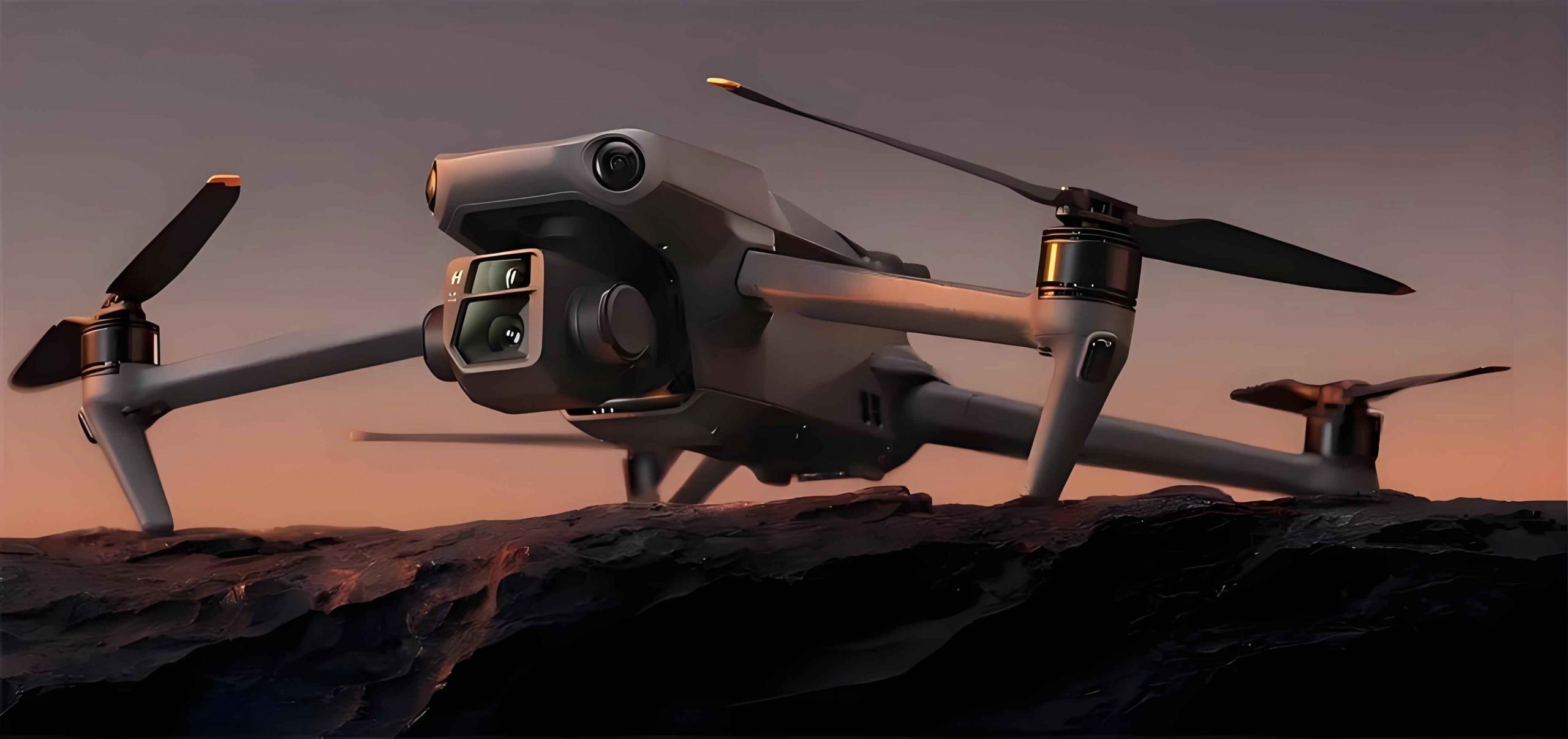
Chongqing’s scale presents unique governance challenges, which STI is actively addressing. The Municipal Institute of Surveying and Mapping has spearheaded the development of an integrated “Sky-Air-Ground” sensing network. This sophisticated system synergizes satellite positioning, ubiquitous IoT sensors, drone fleets, and mobile scanning vehicles. Crucially, drone deployment capabilities now achieve comprehensive coverage of the central urban area within two hours and the entire municipality within four hours.
This real-time, high-resolution perception network underpins numerous critical urban functions. It enables continuous remote monitoring of over 1,000 critical infrastructure projects and more than 20,000 individual monitoring points. The result is a dramatic leap in urban governance efficiency and disaster early warning precision. Predictive models powered by STI allow authorities to simulate complex scenarios – such as optimizing traffic flow in crowded areas, planning safe drone flight paths within the burgeoning Low-Altitude Economy, or accurately modeling flood inundation zones during peak discharge – facilitating intelligent, data-driven decision-making.
Furthermore, the Institute has constructed massive foundational datasets, amassing tens of millions of samples encompassing spatial layers, geographic scenarios, and sensor data. This rich repository supports the development of over 20 specialized “Spatiotemporal Intelligence Agents” tailored for domains including planning, natural resources, modern manufacturing, agriculture, carbon accounting, and critically, the management of low-altitude airspace essential for the Low-Altitude Economy. The Planning and Natural Resources Bureau emphasizes ongoing commitment to strengthening core STI technologies and fostering cross-industry innovation ecosystems to solidify this technological foundation.
Precision Agriculture: From Experience to Algorithmic Insight
The transformation extends far beyond the city limits into the agricultural heartland. STI is dismantling traditional, experience-based farming methods. AI algorithms, fed by a constant stream of spatial and temporal data, now provide farmers with hyper-accurate, real-time intelligence. They pinpoint specific fields suffering from water stress, nutrient deficiencies, or pest infestations. This granular insight is then seamlessly translated into action, with systems like BeiDou satellite navigation guiding autonomous agricultural machinery to execute precise irrigation, fertilization, or targeted pest control interventions. This shift maximizes resource efficiency, boosts yields, and minimizes environmental impact.
Manufacturing Reimagined: Intelligent Vehicles and Agile Factories
The manufacturing sector, particularly the strategically vital intelligent and connected new energy vehicle (ICV) industry, is a major beneficiary. Leading automakers like Changan report that deep integration with STI is making vehicles significantly “smarter” and more attuned to user needs and environments. Beyond enhancing in-vehicle experience – such as enabling autonomous systems to intelligently adapt to road conditions like potholes based on real-time spatial data and driver behavior patterns – STI is fundamentally upgrading the production process itself.
Changan credits its STI-powered “unified digital foundation” with enabling true flexible manufacturing. This capability allows for rapid adaptation to fluctuating market demands, contributing to an impressive 25%+ increase in delivery efficiency within global smart manufacturing benchmarks. The company envisions leveraging collaborative platforms involving government, industry, academia, research, and users to further digitize and standardize the ICV operational environment, enhancing safety and compliance, with ambitions to export these STI-driven automotive innovations internationally. The Municipal Commission of Economy and Information Technology underscores the focus on expanding STI application scenarios, prioritizing industry incubation, and building a comprehensive service chain from demand identification to project incubation and industrial implementation, aiming to establish a distinctive Chongqing STI industrial cluster.
The Ascendant Low-Altitude Economy: A Core STI Application
The development of the Low-Altitude Economy is intrinsically linked to advancements in STI. Managing the complex, three-dimensional airspace above the city for commercial drone operations – encompassing logistics, surveillance, emergency response, and specialized services – demands the precise, real-time coordination that only sophisticated STI platforms can provide. The city’s advanced drone deployment capabilities and the dedicated STI agents for low-altitude airspace management are foundational pillars for this emerging sector. Efficient route planning, collision avoidance, regulatory compliance, and integration with ground-based infrastructure all rely on the seamless fusion of spatial data, temporal sequencing, and AI-driven analytics. As Chongqing actively builds its STI ecosystem, the enabling infrastructure for a robust Low-Altitude Economy is being solidified, positioning the city as a leader in this high-growth domain. The integration of drone services into urban monitoring, precision agriculture, and potentially logistics within the Low-Altitude Economy framework exemplifies the cross-cutting value of STI.
The Horizon: Trillion-Yuan Opportunities and Global Leadership
The trajectory points towards STI becoming an indispensable utility, akin to electricity or broadband. Its potential to generate entirely new industries and reshape existing ones on a massive scale is widely recognized. Chongqing’s proactive approach – fostering core technology development, building vast sensing networks, creating specialized intelligent agents, and actively nurturing industrial ecosystems – positions it at the forefront of this revolution. The focus on concrete applications, from safeguarding infrastructure and optimizing farms to building smarter factories and enabling the Low-Altitude Economy, demonstrates a pragmatic path towards realizing STI’s immense economic and societal promise. The ambition extends beyond domestic application; there is a clear intent to leverage Chongqing’s expertise and experience to become a significant exporter of STI solutions, particularly in fields like intelligent mobility and low-altitude airspace management, shaping the global landscape of this transformative technology. The continuous expansion of the Low-Altitude Economy will serve as both a key driver and a critical testbed for the next generation of STI capabilities.
