
Transmission lines constitute critical infrastructure in power systems, facilitating electricity distribution across vast networks. Exposure to environmental stressors necessitates systematic inspection to prevent failures. Traditional manual methods are increasingly supplanted by drone technology due to superior efficiency, cost-effectiveness, and adaptability to complex terrains. For instance, integrated 5G-Unmanned Aerial Vehicle frameworks enable autonomous inspections with real-time defect analysis, while LiDAR-equipped drones accurately measure vertical clearances and identify hazardous zones. Current research focuses on enhancing tracking precision for irregular geometries like sagging lines or foreign object intrusions.
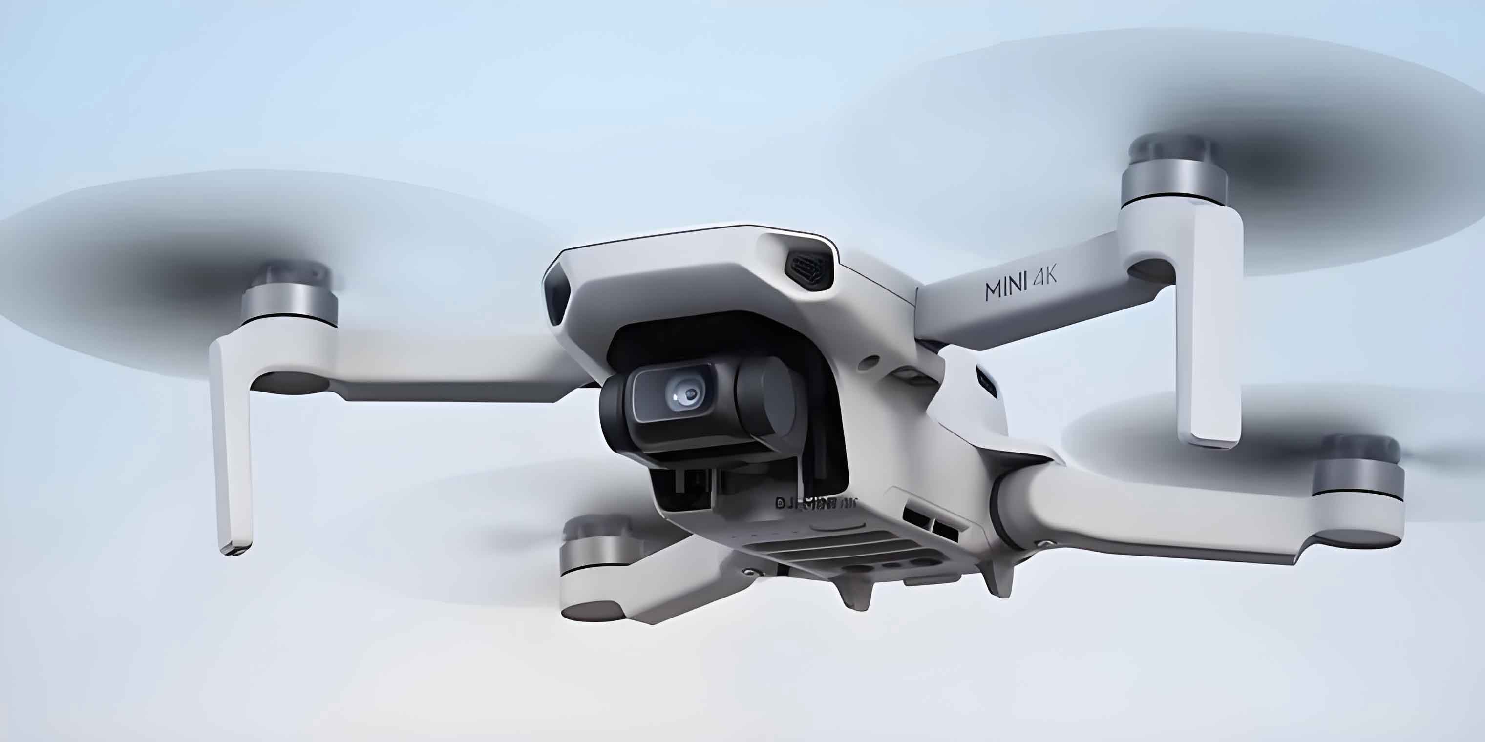
The quadrotor Unmanned Aerial Vehicle model features a cruciform rigid structure with motors at each axis endpoint. Define $\mathcal{F}_b = \{O_b, x_b, y_b, z_b\}$ as the body-fixed frame and $\mathcal{F}_e = \{O_e, x_e, y_e, z_e\}$ as the Earth-fixed inertial frame. Motor thrusts $F_i$ ($i=1,2,3,4$) generate lift and torque. Position $\chi = [x, y, z]^T$ and attitude $\Theta = [\phi, \theta, \psi]^T$ follow Newton-Euler dynamics:
$$
\begin{align*}
m\ddot{\chi} &= R_b^e \begin{bmatrix} 0 \\ 0 \\ \sum F_i \end{bmatrix} – \begin{bmatrix} 0 \\ 0 \\ mg \end{bmatrix} \\
J\dot{\omega} &= -\omega \times J\omega + \tau
\end{align*}
$$
where $m$ denotes mass, $g$ gravitational acceleration, $R_b^e$ rotation matrix, $J$ inertia tensor, and $\tau$ control torques.
Control Objectives and Methodology
The control objective ensures finite-time convergence to desired trajectory $\chi_d = [x_d, y_d, z_d]^T$ under velocity constraints:
$$
\begin{cases}
-M_x < \dot{x}_d < M_x, & -M_x < v_x(0) < M_x \\
-M_y < \dot{y}_d < M_y, & -M_y < v_y(0) < M_y \\
-M_z < \dot{z}_d < M_z, & -M_z < v_z(0) < M_z
\end{cases}
$$
with $M_x, M_y, M_z > 0$ as axis-specific bounds. Virtual control inputs $u = [u_x, u_y, u_z]^T$ regulate position via:
$$
u = n_z g – \frac{F}{m} (R_{e}^b n_z)
$$
The self-adjusting finite-time controller implements:
$$
\begin{align*}
u_x &= \dot{x}_d + \alpha_1 \text{sig}^{\gamma_1}(x_d – x) + \frac{\alpha_2 (M_x^2 – \dot{x}_d^2)}{|M_x^2 – v_x^2|} \text{sig}^{\gamma_2}(\dot{x}_d – v_x) \\
u_y &= \dot{y}_d + \alpha_1 \text{sig}^{\gamma_1}(y_d – y) + \frac{\alpha_2 (M_y^2 – \dot{y}_d^2)}{|M_y^2 – v_y^2|} \text{sig}^{\gamma_2}(\dot{y}_d – v_y) \\
u_z &= \dot{z}_d + \alpha_1 \text{sig}^{\gamma_1}(z_d – z) + \frac{\alpha_2 (M_z^2 – \dot{z}_d^2)}{|M_z^2 – v_z^2|} \text{sig}^{\gamma_2}(\dot{z}_d – v_z)
\end{align*}
$$
where $\alpha_1, \alpha_2 > 0$, $0 < \gamma_1 < 1$, $\gamma_2 = \frac{2\gamma_1}{\gamma_1 + 1}$, and $\text{sig}^\gamma(a) = |a|^\gamma \text{sign}(a)$.
Simulation Framework and Results
Experimental validation used a simulated transmission line (5 mm² copper wire spanning 5 m × 3 m). The quadrotor platform integrated OpenMV for image processing and Pro flight control. Key parameters included:
| Parameter | Value | Unit |
|---|---|---|
| Mass ($m$) | 1.5 | kg |
| Motor-Axis Distance | 0.1 | m |
| $J_x$, $J_y$ | 0.03 | kg·m² |
| $J_z$ | 0.05 | kg·m² |
| $\alpha_1$, $\alpha_2$ | 2.89, 2.11 | – |
| $\gamma_1$, $\gamma_2$ | 0.78, 0.86 | – |
Trajectory tracking performance for horizontal path inspection is shown below. The Unmanned Aerial Vehicle ascended vertically from (120, 0, 30) cm to startpoint (120, 0, 150) cm at 20 cm/s, inspected the line, and descended to (120, 150, 0) cm.
| Axis | Position Error (cm) | Velocity Error (cm/s) |
|---|---|---|
| $x$ | 4.2 | 1.8 |
| $y$ | 3.7 | 1.5 |
| $z$ | 2.9 | 1.2 |
For foreign object inspection, obstacles (size: 10 cm × 2 cm) were placed at $y$=145-155 cm. Hough transforms identified object coordinates, triggering hover maneuvers when intrusions exceeded thresholds. Drone technology achieved 90% detection accuracy across 10 trials:
| Trial | Hover Position $x$ (cm) | Hover Position $y$ (cm) | Hover Height $z$ (cm) |
|---|---|---|---|
| 1 | 77 | 146 | 138 |
| 2 | 80 | 143 | 136 |
| 3 | – | – | – |
| 4 | 75 | 152 | 131 |
| 5 | 76 | 155 | 140 |
| 6 | 90 | 148 | 141 |
| 7 | – | – | – |
| 8 | 85 | 143 | 137 |
| 9 | 81 | 140 | 141 |
| 10 | 83 | 152 | 139 |
Positional variance during hover was $\sigma_x = 4.9$, $\sigma_y = 3.3$, $\sigma_z = 1.4$ cm. The single failure (Trial 3) resulted from insufficient image contrast under variable lighting.
Conclusion
This work establishes a finite-time velocity-constrained controller for transmission line inspection using drone technology. The Unmanned Aerial Vehicle achieves 90% effectiveness in tracking horizontal paths and interrupted lines via adaptive position control. Key innovations include velocity-bound handling in the control law and Hough-based object detection. Future work will test the framework on actual transmission lines under diverse environmental conditions and expand foreign object datasets using generative adversarial networks. Integrating inertial-GNSS fusion could further enhance localization robustness during inspections.