
In my extensive research on unmanned aircraft vehicles (UAVs), I have observed a dramatic transformation in the civilian drone market over the past decade. The market has shifted from small-scale, slow-growth, professional-grade applications to large-scale, rapid-growth, consumer-grade products. By the mid-2010s, consumer drone enterprises such as DJI had risen to dominate the global market. According to the Internet Data Center (IDC), the global drone market was projected to exceed 3.9 million units by 2019, with China alone accounting for more than 3 million units. This explosive growth inevitably creates a pressing need for effective drone regulation. Various regulatory bodies in China — including the State Air Traffic Control Commission, the Civil Aviation Administration of China, the Air Force, the Ministry of Public Security, and the Ministry of Industry and Information Technology (MIIT) — have issued a series of policies and measures addressing flight management, airspace usage, altitude restrictions, real-name registration, spectrum management, and operational准入 requirements. For instance, the MIIT published a notification in 2015 that designated the frequency bands 840.5–845 MHz, 1430–1444 MHz, and 2408–2440 MHz for UAV systems. Despite these efforts, illegal flights and frequency chaos (e.g., use of UHF, L, S, C bands) remain widespread. The radio regulatory authorities therefore bear a critical responsibility in implementing drone regulation through effective technical means during and after operations.
To develop targeted radio countermeasures, we must first thoroughly analyze the radio technologies commonly employed by UAVs. In this paper, I present my findings on UAV navigation and communication technologies, followed by a detailed study of detection, localization, and suppression techniques. I also propose several policy recommendations for improving drone regulation.
1. Common UAV Radio Technologies
The key technologies of UAVs include power, navigation, communication, control, and computing. From a radio management perspective, navigation and communication are the most relevant.
1.1 Navigation Technologies
UAV navigation is used for positioning, ranging, and velocity measurement. The most common positioning method is the Global Navigation Satellite System (GNSS), which includes GPS, BeiDou, Galileo, and GLONASS. The UAV receives satellite signals to determine its own position, enabling autonomous flight along a pre-programmed path. Ranging is typically achieved through ultrasonic, laser, radar, or visual methods. Velocity is derived from positioning and ranging data, as well as from inertial sensors (gyroscopes and accelerometers).
The basic GNSS positioning equation can be expressed as:
$$
\rho_i = \sqrt{(x – x_i)^2 + (y – y_i)^2 + (z – z_i)^2} + c \cdot \delta t
$$
where \(\rho_i\) is the pseudorange to satellite \(i\), \((x,y,z)\) are the UAV’s coordinates, \((x_i,y_i,z_i)\) are the satellite’s coordinates, \(c\) is the speed of light, and \(\delta t\) is the receiver clock error. The UAV solves for its position using signals from at least four satellites.
1.2 Communication Technologies
UAV external communication relies on radio links: the control link (from the ground controller to the UAV) and the data/video link (from the UAV back to the ground). Typical communication methods include satellite communications (e.g., Ku/Ka band), UHF/L-band beyond-line-of-sight links, 2.4 GHz / 5.8 GHz Wi-Fi direct links, and increasingly, public mobile network technologies (4G/5G). Even though spread spectrum and frequency hopping are often employed, the signals are usually weak due to distance, making them susceptible to interference.
Table 1 summarizes the common frequency bands used by UAVs:
| Band | Frequency Range | Typical Use |
|---|---|---|
| UHF | 300–1000 MHz | Telemetry, control (long range) |
| L | 1–2 GHz | GNSS (L1/L2), satellite control |
| S | 2–4 GHz | Wi-Fi (2.4 GHz), video transmission |
| C | 4–8 GHz | High-bandwidth data link |
| X | 8–12 GHz | Radar, military links |
2. Technical Means for Drone Regulation
The core paradigm for drone regulation from a radio perspective follows a three-step approach: detect, locate, and suppress. I now elaborate on each step with relevant formulas and comparative tables.
2.1 Detection Technologies
Detection aims to identify the presence of an unauthorized UAV. Two primary categories exist: direct detection (radar) and indirect detection (radio monitoring).
- Radar Detection: Uses electromagnetic waves reflected by the UAV. Typical radars operate in S, X, or Ku bands with effective ranges up to 5 km. They are independent of UAV model but suffer from low radar cross-section (RCS) of small drones, especially those made of plastic or wood, and are vulnerable to clutter in urban environments.
- Radio Monitoring: Captures the UAV’s own emissions (control, telemetry, data, video signals) using high-sensitivity receivers and antennas. Common frequencies monitored include 800 MHz, 1.4 GHz, 2.4 GHz, and 5.8 GHz. The effective detection range is typically within 2 km. This method can detect drones even in dense urban settings, but fails if the drone operates autonomously in radio-silent mode.
Table 2 compares these detection methods:
| Feature | Radar Detection | Radio Monitoring |
|---|---|---|
| Range | Up to 5 km | Usually < 2 km |
| Dependence on UAV model | Low (but affected by RCS) | Low (as long as signal is emitted) |
| Urban performance | Poor (clutter, multipath) | Good (can see around buildings) |
| Detection when radio silent | Still works (passive reflection) | Fails completely |
| Cost | High | Moderate |
The received signal power in radio monitoring follows the Friis transmission equation:
$$
P_r = \frac{P_t G_t G_r \lambda^2}{(4\pi R)^2 L}
$$
where \(P_r\) is received power, \(P_t\) is transmitted power, \(G_t\) and \(G_r\) are antenna gains, \(\lambda\) is wavelength, \(R\) is distance, and \(L\) is system loss. This equation helps estimate the feasible detection range for a given sensitivity threshold.
2.2 Localization Technologies
After detecting a suspected drone, we need to pinpoint its location and track its movement. Radio localization uses multiple monitoring stations to measure the direction or time difference of arrival of the UAV’s signals. Common approaches are:
- Angle of Arrival (AoA) Cross-Localization: Each station measures the bearing of the signal. The intersection of bearing lines gives the position. Accuracy depends on angular resolution and baseline distance.
- Time Difference of Arrival (TDOA): Stations measure the difference in arrival times of the same signal. The UAV lies on a hyperboloid defined by the time difference. With three or more stations, the position is solved.
The TDOA positioning equation for two stations (\(i\) and \(j\)) is:
$$
\Delta t_{ij} \cdot c = \sqrt{(x – x_i)^2 + (y – y_i)^2 + (z – z_i)^2} – \sqrt{(x – x_j)^2 + (y – y_j)^2 + (z – z_j)^2}
$$
where \(\Delta t_{ij}\) is the measured time difference, \(c\) is speed of light, and \((x,y,z)\) is the unknown UAV position. Solving requires at least three independent TDOA equations (four stations).
Similarly, by monitoring the ground controller’s uplink signals, we can also locate the operator — a valuable capability for enforcement. A major limitation remains: if the drone operates autonomously with no emissions (radio silent), localization fails.
2.3 Suppression Technologies
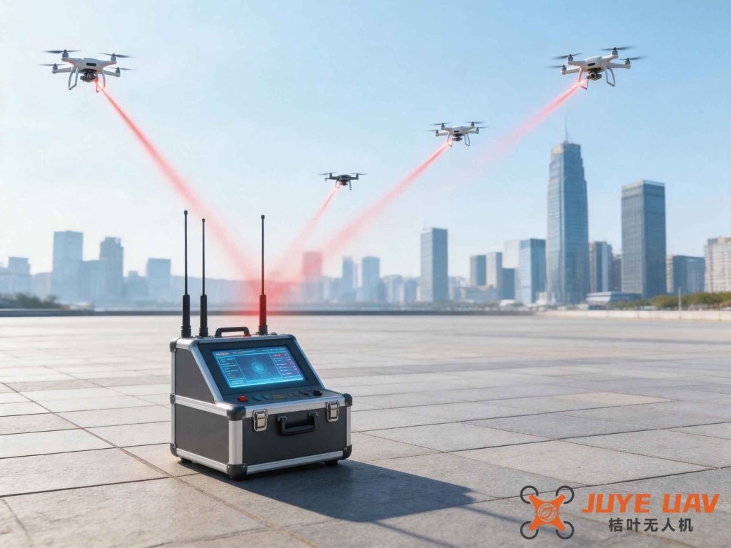
Once we have identified and located a threatening drone, suppression aims to neutralize it. Radio-based suppression techniques target the three key links of a UAV system:
- Control link suppression: Jamming the uplink from the controller to the drone. The drone loses command and typically enters a fail-safe mode (e.g., return-to-home or auto-land). Since the jammer is often closer to the drone than the legitimate controller, this method is highly effective.
- Navigation signal suppression: Jamming or spoofing GNSS signals. Without accurate positioning, the drone cannot maintain stable flight and may crash or be directed to a designated area. This works even when the drone is in autonomous cruise mode.
- Data/video link suppression: Jamming the downlink to prevent the drone from transmitting information. This is more challenging but can protect privacy and data security.
Table 3 summarizes the suppression methods:
| Method | Target | Effect | When Effective |
|---|---|---|---|
| Control link jamming | 2.4 GHz / 5.8 GHz / other control bands | Loss of command → failsafe | Drone receiving controller commands |
| GNSS jamming/spoofing | L1/L2/E1/E2 etc. | Loss of position → unstable flight or diversion | Autonomous cruise with GNSS |
| Data link jamming | Video/telemetry bands | Block data transmission | Any operational drone (but harder) |
The required jamming power can be estimated using the jamming-to-signal ratio (J/S) requirement:
$$
\frac{P_j G_j G_r}{L_j R_j^2} \ge \text{J/S}_{\text{req}} \cdot \frac{P_s G_s G_r}{L_s R_s^2}
$$
where subscripts \(j\) and \(s\) denote jammer and signal source, respectively. Typically, a J/S of 10 dB or higher is sufficient to disrupt most UAV communication links.
3. Challenges and Recommendations for Drone Regulation
Despite the available techniques, effective drone regulation faces significant challenges. Drones are small, agile, can take off and land anywhere, and can operate autonomously using pre-loaded waypoints. Their communication technologies vary widely and evolve rapidly. Furthermore, jamming GNSS signals can inadvertently affect other critical infrastructure (e.g., power grids, telecom networks, transportation systems) that rely on the same weak satellite signals. Therefore, I propose the following policy recommendations.
3.1 Integrate Multiple Control Technologies
No single detection, localization, or suppression method is universally effective. Combining radar, radio monitoring, optical identification, and acoustic sensors can dramatically improve detection probability and reduce false alarms. For localization, fusing AoA and TDOA data from multiple stations yields more robust tracking. For suppression, a combination of control link jamming and GNSS spoofing can handle both manually piloted and autonomous drones. Table 4 illustrates a multi-layer approach:
| Layer | Technology | Strengths | Weaknesses |
|---|---|---|---|
| Long-range detection | Radar (S/X/Ku) | Range up to 10 km, independent of emissions | Poor for small/stealthy drones, cluttered environment |
| Medium-range detection | Radio monitoring (fixed & mobile) | Good identification, can see through buildings | Fails if drone is silent |
| Short-range confirmation | Optical/IR cameras | Visual verification, model identification | Limited range, weather dependent |
| Localization | TDOA + AoA hybrid network | High accuracy, real-time tracking | Requires multiple stations, silent drone fails |
| Suppression | Control-link jammer + GNSS spoofing | Effective against both manual and autonomous modes | Risk of collateral interference |
3.2 Explore Innovative Control Technologies
I strongly advocate for research and development in novel approaches. For cooperative drones (those that comply with regulations), lightweight airborne transponders could be mandated to broadcast identity and flight parameters, enabling friendly monitoring. For non-cooperative drones, advanced techniques such as protocol-aware jamming (which only disrupts specific signals without affecting others) and cognitive radio-based countermeasures that adapt to the drone’s frequency hopping patterns in real time are promising. Additionally, national-level drone regulation platforms that fuse data from traditional radio monitoring networks, mobile communication networks, and the Internet of Things can provide comprehensive situational awareness and automated response.
<h3.3 avoid="" from="" h3="" interference
GNSS jamming and high-power wideband jamming can disrupt essential services. For example, spoofing or jamming GPS L1 signals can affect not only drones but also cell towers, financial networks, and air traffic control. Therefore, any suppression action must be carefully assessed and authorized. I recommend using directed antennas with narrow beams and power control to limit the interference footprint. Employing time-gated or frequency-notch techniques can protect neighboring bands. Moreover, legal frameworks should clearly define when and how radio countermeasures can be deployed, and operators must be trained to minimize unintended consequences.
4. Conclusion
The rapid proliferation of UAVs demands robust and intelligent drone regulation from the radio regulatory perspective. By systematically understanding the navigation and communication technologies of drones, we can develop targeted detection, localization, and suppression methods. However, no single technology is a panacea. A multi-technology integrated system, combined with continuous innovation and careful risk management, is essential for maintaining airspace security and electromagnetic order. As a researcher in this field, I believe that the radio management community must take a leading role in shaping the future of drone regulation through both technical and policy advances.