Urban logistics faces unprecedented challenges with rising e-commerce demands and traffic congestion. Delivery drones (UAVs) offer transformative solutions, particularly for long-distance urban distribution where traditional methods falter. This research addresses the critical gap in large-scale drone deployment by introducing a novel two-echelon, multi-hub scheduling model that integrates service modes and routing strategies. Our approach optimizes total operational costs while accommodating time windows, charging requirements, and heterogeneous drone fleets—factors often overlooked in existing literature focused on last-mile scenarios. By bridging theoretical models with practical urban logistics constraints, this work provides actionable insights for scalable drone delivery operations.
Problem Formulation and System Architecture
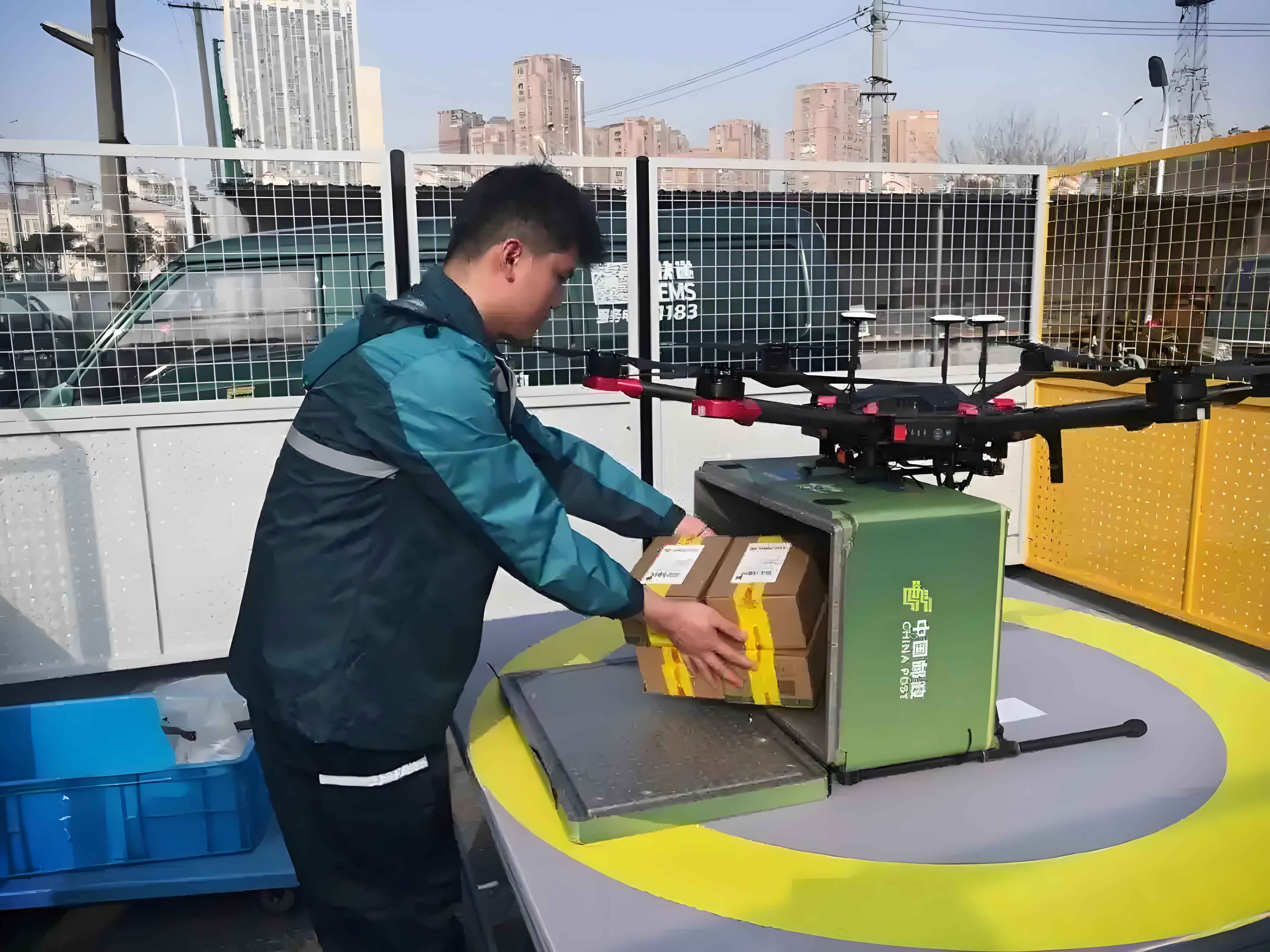
The delivery drone network comprises three node types: a central warehouse (node 0), multiple dispatch stations (nodes $1$ to $n$), and demand points represented by automated parcel lockers (nodes $n+1$ to $n+m$). Two-tier routing is implemented: heavy-duty delivery UAVs handle warehouse-to-station routes, while lightweight delivery drones serve station-to-locker routes. Crucially, we differentiate between:
Service Modes:
- On-Demand: Conventional immediate dispatch when orders arrive
- Fixed-Route Schedule: Predefined paths using larger drones (capacity $Q_1=10kg$, speed $v_1=20m/s$)
- Variable-Route Schedule: Dynamic paths using smaller drones (capacity $Q_1=8kg$, speed $v_1=17m/s$)
Routing Strategies:
- Closed-Loop: Drones return to origin station
- Semi-Open: Drones return to nearest available station
The scheduling model minimizes total cost $Z$ through the objective function:
$$ \min Z = \underbrace{f_1 \sum_{u=1}^{U} \sum_{i=1}^{n} x_{0i}^u + f_2 \sum_{k=1}^{K} \sum_{i=1}^{n} \sum_{j=n+1}^{n+m} x_{ij}^k}_{\text{Fixed Costs } Z_1} + \underbrace{ \left( c_1 \sum_{u=1}^{U} \sum_{i=0}^{n} \sum_{j=0}^{n} x_{ij}^u d_{ij} + c_2 \sum_{k=1}^{K} \sum_{i=n}^{n+m} \sum_{j=n}^{n+m} x_{ij}^k d_{ij} \right)}_{\text{Transport Costs } Z_2} + \underbrace{\sum_{k=1}^{K} \sum_{i=1}^{n} \sum_{j=n+1}^{n+m} c_d x_{ji}^k}_{\text{Charging Costs } Z_3} + \underbrace{\sum_{k=1}^{K} \sum_{i=n+1}^{n+m} \sum_{j=n}^{n+m} x_{ij}^k \left( \lambda_1 \max\{0, a_i – t_i^k\} + \lambda_2 \max\{0, t_i^k – b_i\} \right)}_{\text{Time Penalties } Z_4} $$
Key operational constraints include:
$$ \begin{align*}
&\text{Drone range: } \sum_{i=0}^{n} \sum_{j=0}^{n} d_{ij} x_{ij}^u \leq \delta_1 \quad \forall u \in U \\
&\text{Battery safety: } E_0 \leq \gamma_j^k \leq \gamma_i^k – \frac{d_{ij}}{\delta_2} \cdot x_{ij}^k + M(1 – x_{ij}^k) \\
&\text{Time windows: } t_j^u \leq b_r – \frac{d_{jr}}{v_2} \quad \forall r \in \text{demand points}
\end{align*} $$
Algorithmic Framework
A two-phase metaheuristic solves this NP-hard problem efficiently. Phase 1 optimizes station-to-locker routes using Whale Optimization Algorithm (WOA) with real-number encoding. The WOA’s bubble-net hunting mechanism provides superior convergence for delivery drone path planning compared to GWO and GA alternatives:
$$ \begin{cases}
\vec{D} = |\vec{C} \cdot \vec{X}^{*}(t) – \vec{X}(t)| & \text{(Encircling)} \\
\vec{X}(t+1) = \vec{X}^{*}(t) – \vec{A} \cdot \vec{D} & \text{(Exploitation)} \\
\vec{X}(t+1) = \vec{D}’ \cdot e^{bl} \cdot \cos(2\pi l) + \vec{X}^{*}(t) & \text{(Bubble-net)}
\end{cases} $$
Phase 2 computes warehouse-to-station schedules based on Phase 1 outputs, generating shift timetables for different service modes. This decomposition approach reduces computational complexity while maintaining solution quality.
Computational Experiments
We validate our delivery UAV scheduling model using a real urban topology with 1 warehouse, 3 dispatch stations, and 70 parcel lockers. Parameters reflect commercial delivery drones (TR7S heavy-duty: $\delta_1=40km$; RA3 lightweight: $\delta_2=23km$).
| Routing Strategy | Drones Used | Variable Cost ($) | Time Penalties ($) | Total Cost ($) |
|---|---|---|---|---|
| Closed-Loop | 22 | 533.97 | 158.03 | 1,022.00 |
| Semi-Open | 22 | 516.13 | 62.49 | 908.62 |
Semi-open routing reduces total costs by 11.09% and time penalties by 60.45% through minimized backtracking. The cost advantage amplifies with scale:
| Scale (Points) | Semi-Open Savings (%) |
|---|---|
| 30 | 3.13 |
| 50 | 8.29 |
| 70 | 11.09 |
For service modes, fixed-route schedules demonstrate significant advantages over conventional on-demand delivery UAV operations:
| Service Mode | Drones Used | Variable Cost ($) | Total Cost ($) |
|---|---|---|---|
| On-Demand (Small UAV) | 18 | 1,026.71 | 1,501.21 |
| Fixed-Route | 13 | 802.33 | 1,231.33 |
| Variable-Route | 16 | 1,011.77 | 1,379.77 |
Fixed-route schedules reduce UAV fleet requirements by 27.8% and variable costs by 18.4% versus on-demand operations. The temporal distribution of drone operations reveals why:
$$ \text{Fixed-Route Efficiency} = 1 – \frac{\text{Deadhead Time}}{\text{Total Shift Time}} $$
Spatiotemporal path visualizations confirm fixed routes eliminate time penalties and station idle-time costs. Sensitivity analyses further show:
- Wider time windows reduce costs by 7-10% through better drone utilization
- UAV selection impacts variable costs most significantly at medium scales (50 points)
- Semi-open routing’s charging frequency increases but remains cost-effective
Concluding Insights
This research establishes that semi-open routing reduces delivery drone operational costs by ≥11% while slashing time penalties by >60% through adaptive station returns. Fixed-route schedules outperform on-demand models, cutting variable costs by ≥18% and fleet requirements by 28%. The two-phase algorithm efficiently solves complex multi-hop delivery UAV scheduling, generating practical shift timetables and flight paths. Future work will integrate environmental disturbances and precise energy consumption models to enhance real-world applicability. These findings provide logistics operators with evidence-based frameworks for deploying cost-effective, scalable urban drone networks.