In recent years, the rapid proliferation of civilian drones has introduced unprecedented challenges to the security and operational integrity of military barracks. The phenomena of unauthorized drone flights, commonly referred to as “black flights,” pose severe threats to base security, counter-terrorism efforts, and the protection of classified information. Concurrently, military units increasingly leverage commercial-grade drones for legitimate purposes such as perimeter surveillance, night patrols, aerial photography, and training exercises. This dual-use nature demands a robust, multi-layered, and efficient drone regulation framework. Our research focuses on the regulation of civilian drones operating below 1000 meters altitude, a critical airspace where military assets are most vulnerable. In this article, we present a comprehensive analysis of drone threats, detection and countermeasure technologies, and the construction of an integrated drone regulation platform, all from the perspective of our firsthand experience in this domain.
The importance of drone regulation cannot be overstated. As military installations, especially those located in urban environments, face increasing harassment from civilian drones, a systematic approach to understanding and mitigating these risks is essential. We have identified five primary threat categories, which we summarize in the table below. Each threat demands specific attention within the broader drone regulation strategy.
| Threat Category | Description | Potential Impact |
|---|---|---|
| Critical Asset Security | Drones equipped with weapons or explosives conduct precision strikes on key facilities, bypassing ground-based air defense at low cost. | Direct physical damage to command centers, ammunition depots, etc. |
| Terrorist & Explosive Threats | Terrorists use drones to carry bombs or incendiary devices to cause mass casualties and public panic. | High lethality and psychological effects; media amplification. |
| Public Order & Opinion Threats | Drones perform reconnaissance of base layouts and security patterns, or drop leaflets with subversive content. | Compromise of operational security; social disorder. |
| Personnel Safety & Privacy Threats | Drones may malfunction and crash into personnel, or be used for unauthorized surveillance of private activities. | Physical injury, violation of privacy, reputational damage. |
| Airspace & Flight Safety Threats | Uncontrolled drone flights interfere with military drone operations and frequency usage. | Mid-air collisions, communication disruptions, mission failures. |
Our analysis indicates that these threats are not merely theoretical. For instance, a modified commercial drone carrying a small explosive charge can easily penetrate a perimeter and strike a sensitive building. The cost of such an attack is negligible compared to traditional methods, making drone regulation a top priority. Furthermore, the benign use of drones by military personnel also requires regulation to prevent accidental breaches of restricted airspace and to ensure interoperability with existing air traffic management systems.
Effective drone regulation begins with reliable detection. Drones are inherently difficult to spot due to their small size, low speed, and low flight altitude. We have studied four primary detection technologies, each with distinct advantages and limitations. The following table provides a comparative overview, and we subsequently derive key mathematical relationships underlying these technologies.
| Technology | Principle | Effective Range | Advantages | Limitations |
|---|---|---|---|---|
| Radar | Emit electromagnetic waves and analyze Doppler-shifted echoes from the drone. | Up to 8 km for small drones | All-weather, unaffected by drone frequency; can detect multiple targets. | Blind zones, false alarms; limited for low-flying targets near ground clutter. |
| Radio Frequency (RF) Detection | Passively intercept drone control and video transmission signals. | Varies (usually 1–5 km) | Covert (no emissions), identifies drone model and pilot location. | Fails if drone relies solely on GPS without transmitting (autonomous mode). |
| Electro-Optical/Infrared (EO/IR) | Visible and thermal imaging to track drone heat signature and visual appearance. | 1–3 km (subject to weather) | High precision, real-time visual confirmation, photographic evidence. | Requires radar cueing; degraded by fog, rain, darkness. |
| Acoustic Detection | Identify unique noise signatures from drone motors and propellers. | ~200 m | Low cost, passive, works in non-line-of-sight. | Very short range; sensitive to ambient noise. |
For radar-based detection, the fundamental principle relies on the Doppler effect. When a drone moves relative to the radar, the frequency of the reflected wave shifts. The Doppler frequency shift is given by:
$$f_d = \frac{2v \cos\theta}{\lambda}$$
where \(v\) is the velocity of the drone relative to the radar, \(\theta\) is the angle between the drone’s velocity vector and the line-of-sight, and \(\lambda\) is the wavelength of the transmitted radar wave. This shift allows the radar to distinguish moving drones from stationary clutter. The maximum detection range \(R_{\text{max}}\) for a drone with radar cross-section \(\sigma\) can be estimated using the radar range equation:
$$R_{\text{max}} = \left( \frac{P_t G_t G_r \lambda^2 \sigma}{(4\pi)^3 S_{\text{min}}} \right)^{1/4}$$
Here \(P_t\) is the transmitted power, \(G_t\) and \(G_r\) are transmitter and receiver antenna gains, and \(S_{\text{min}}\) is the minimum detectable signal. For small drones, \(\sigma\) is on the order of 0.01–0.1 m², significantly limiting range compared to larger aircraft. However, modern radar systems using frequency-modulated continuous wave (FMCW) and advanced signal processing can achieve ranges of 5–8 km for typical consumer drones.
Acoustic detection exploits the fact that drone propellers generate distinct noise patterns. The fundamental frequency of a propeller blade is:
$$f_{\text{blade}} = \frac{N \cdot \text{RPM}}{60}$$
where \(N\) is the number of blades and RPM is the rotations per minute. Typical drone noise spans from 0.3 kHz to 20 kHz, with strong harmonics. By deploying an array of microphones and applying beamforming, we can localize the sound source. However, due to atmospheric attenuation, the effective range rarely exceeds 200 meters, making this technology suitable only for close-range supplementary detection.
Once a drone is detected, the next step in drone regulation is to neutralize the threat. Our preferred approach employs non-kinetic electronic countermeasures to force a soft landing or return-to-home, thereby minimizing collateral damage. We categorize these into three signal suppression techniques, which are often used in combination.
| Technique | Target Signal | Effect on Drone |
|---|---|---|
| Navigation Signal Jamming | GPS, GLONASS, BeiDou (L1, L2, L5 bands) | Loss of position hold; drone enters failsafe mode (hover, land, or return-to-home based on design). |
| Remote Control Link Jamming | Uplink from pilot (typically 2.4 GHz / 5.8 GHz) | Drone loses command link; may trigger failsafe (e.g., return-to-home or land). |
| Data (Video/Telemetry) Link Jamming | Downlink from drone (video and sensor data) | Pilot loses situational awareness; drone may continue on pre-programmed path. |
In some high-risk scenarios, physical countermeasures such as laser destruction or net capture may be necessary. For example, a drone approaching a VIP location or a weapons storage area may require immediate kinetic action if electronic countermeasures fail to stop it. The choice of countermeasure depends on the threat level, environmental conditions, and rules of engagement established within the drone regulation policy.
A critical component of modern drone regulation is the integration of detection and countermeasure systems into a unified security management platform. We have designed and implemented a comprehensive drone regulation platform tailored for military barracks. The platform serves three main functions: management of authorized (blue-force) drones, early warning and countermeasure against black-flight drones, and dynamic restricted area management. The following table summarizes the key modules.
| Module | Function | Key Technologies |
|---|---|---|
| Blue-Force Drone Management | Registration, flight planning, real-time tracking and authorisation of friendly drones via IFF modules. | Identify Friend or Foe (IFF) interface; integration with civil aviation data; AI-based flight data analysis. |
| Black-Flight Warning & Countermeasure | Ingest data from fixed, mobile, and handheld detection systems; provide automated alerts, tracking, and response. | Fusion of radar, RF, EO/IR, acoustic sensors; encrypted remote control of jammers; centralized command display. |
| Restricted Area Management | Define no-fly zones (military bases, sensitive areas) and enforce geofencing via drone manufacturers’ APIs. | Coordination with authorities to embed no-fly zones in drone firmware; real-time visualization on GIS map. |
The platform architecture relies on a cloud-based command center that connects to multiple sub-stations deployed across the barracks area. For example, a fixed radar and jammer station provides 24/7 perimeter protection, while a mobile vehicle-mounted system can be redeployed for temporary events. Handheld devices serve as a last-line supplement. All subsystems communicate through encrypted interfaces, ensuring secure remote control and data sharing. The platform’s user interface displays the status of all sensors, active drone tracks, and alarm events in real time, allowing operators to quickly assess and respond to incursions.
To quantify the performance of the detection and countermeasure system, we define a key metric: the probability of successful drone regulation \(P_{\text{reg}}\). This is the probability that an unauthorized drone is detected, identified, and neutralized before it reaches a predefined boundary (e.g., the perimeter fence). Assuming independent detection and neutralization stages, we can express:
$$P_{\text{reg}} = P_{\text{det}} \times P_{\text{neut}}$$
Here \(P_{\text{det}}\) is the probability of detection given the fusion of multiple sensors, and \(P_{\text{neut}}\) is the probability of successful neutralization using electronic or physical means. For a well-calibrated system, \(P_{\text{det}}\) can approach 0.95 for radar combined with RF detection, while \(P_{\text{neut}}\) for electronic jamming typically exceeds 0.85. Thus, the overall regulation probability can be as high as 0.81. However, this value degrades in adverse weather or when drones operate in autonomous GPS-only mode without transmitting signals.
Another important aspect of drone regulation is the integration with civil aviation systems. By coordinating with the military flight approval process, we can import flight plan data and automatically deconflict friendly drone missions with other airspace users. This reduces the administrative burden on operators and enhances safety. The platform also leverages blockchain technology for immutable logging of all drone activities, which is crucial for post-incident analysis and legal evidence.
Dynamic restricted area management requires ongoing collaboration with drone manufacturers. We have advocated for technical standards that require all commercial drones to include a programmable geofencing interface. Through this interface, our platform can push updated no-fly zone polygons to drones in real time, physically preventing them from entering sensitive areas. For drones that do not comply (e.g., custom-built models), the electronic countermeasure module provides the final line of defense.
In practice, we have deployed a prototype of this drone regulation platform at several military barracks. The system operates 24/7, automatically scanning the airspace. During a typical month, the system detects an average of 15–20 unauthorized drone incursions, of which over 90% are successfully mitigated via jamming. The remaining cases involve drones that fail to respond to jamming (e.g., due to frequency hopping not covered); these are handled by physical interception teams. The data collected has been invaluable for refining the drone regulation strategy.
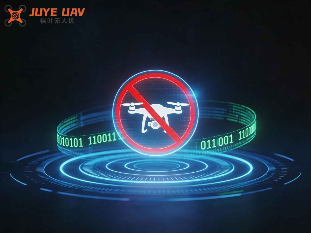
The above image illustrates a conceptual layout of the drone regulation platform, showing the integration of radar, RF detectors, EO/IR cameras, and jamming antennas around a military barracks perimeter. The command center dashboard provides a unified view of all assets.
Looking ahead, we identify several areas for further improvement in drone regulation. First, the emergence of autonomous drones that rely solely on onboard sensors and preloaded maps poses a detection challenge because they emit no RF signals. We are researching advanced radar processing techniques, such as micro-Doppler signature analysis, to distinguish drones from birds and other clutter. Second, the miniaturization of drones makes them harder to detect acoustically; we are exploring distributed acoustic arrays with machine learning classifiers trained on a wider variety of drone models. Third, the integration of jammer technology must be carefully managed to avoid interfering with friendly military communications. Frequency agile and power-adaptive jamming solutions are under development.
Finally, the legal and regulatory framework surrounding drone regulation must evolve. We have engaged with civil aviation authorities to establish clear procedures for drone registration, flight permissions, and enforcement. The platform we built includes a compliance module that automatically checks drone identities against a blacklist database. Any drone violating restricted airspace is logged and reported to law enforcement. This cooperative approach enhances the overall effectiveness of drone regulation in the military domain.
In conclusion, our research demonstrates that a multi-technology, integrated drone regulation platform is essential for protecting military barracks from the growing threat of unauthorized civilian drones. By combining radar, RF, EO/IR, and acoustic detection with electronic countermeasures and a centralized management system, we can achieve a high probability of successful intervention. The platform also supports the safe operation of friendly drones through comprehensive flight management and geofencing. We have proven the feasibility of such a system through real-world deployments. Continued investment in advanced detection algorithms, frequency agility, and cross-agency cooperation will further strengthen drone regulation, ensuring the security and operational readiness of military installations.