In the design of our distributed avoidance control system for fixed-wing UAV swarms, we leverage advanced artificial intelligence (AI) techniques to achieve robust and real-time collision avoidance in complex environments. The system integrates multiple hardware modules, including AI vision sensors, LiDAR sensors, controllers, and wireless communication networks, alongside sophisticated software algorithms for position estimation, obstacle perception, and distributed control. This paper presents the complete design from a first-person perspective, emphasizing the novel AI-based solutions we developed to overcome the challenges of fixed-wing UAV swarm coordination and obstacle avoidance.
1. System Hardware Design
1.1 AI Vision Sensor Design Unit
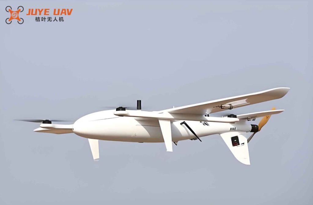
We selected the IS7400-C11 as the core vision sensor for our fixed-wing UAV swarm. This sensor combines a high-resolution CCD imaging element with a dedicated image processing circuit built around the TDA9962 chip. The CCD element captures red, green, and blue light at different depths, ensuring superior color reproduction and image quality. The circuit design, shown schematically in our implementation, enables real-time image acquisition and preprocessing. The key parameters of the IS7400-C11 are summarized in Table 1.
| Parameter | Value | Unit |
|---|---|---|
| Resolution | 1920×1080 | pixels |
| Frame Rate | 30 | fps |
| Dynamic Range | 120 | dB |
| Output Interface | LVDS | – |
| Operating Voltage | 3.3 | V |
| Power Consumption | 1.2 | W |
We mounted the IS7400-C11 sensor at the bottom of each fixed-wing UAV to capture downward-facing images of the ground and surrounding environment. The high resolution and wide dynamic range allow the sensor to perform reliably under varying illumination conditions, which is critical for outdoor fixed-wing UAV operations.
1.2 LiDAR Sensor Design Unit
For obstacle detection, we employed the LA2-MB010N LiDAR sensor. This sensor uses a high-power red laser to measure distances up to 50 m with millimeter-level accuracy. The sensor is installed at the front of each fixed-wing UAV to detect obstacles in the forward flight path. Table 2 lists its essential specifications.
| Parameter | Value | Unit |
|---|---|---|
| Type | Retro-reflective | – |
| Output Type | NPN | – |
| Detection Range | 0–50 | m |
| Spot Size | 15 | mm |
| Blind Zone | 100 | mm |
| Minimum Detectable Object | 1 | mm |
| Light Source | High-power red laser | – |
| Power Supply | 12–24 | VDC |
| Current Consumption | <30 | mA |
| Response Time | 1 | ms |
| Ingress Protection | IP66 | – |
| Ambient Light Tolerance | 0–20000 | lux |
| Operating Temperature | -20 to +55 | °C |
| Operating Humidity | 35–85 | %RH |
The LiDAR sensor provides high-resolution point cloud data that we process for obstacle position and shape estimation. Its fast response time (1 ms) ensures real-time detection, essential for high-speed fixed-wing UAV swarms.
1.3 Controller Design Unit
We adopted the Ardupilot open-source flight controller as the core processing unit for each fixed-wing UAV. The controller is highly customizable and supports advanced control algorithms. We configured the GPIO pins according to the custom mapping shown in Table 3.
| Pin Number | Pin Code | Definition |
|---|---|---|
| 3 | GND | Ground |
| 5 | RESET | Reset |
| 7 | IOREF | I/O Reference |
| 10 | ADC0 | Analog Input 0 |
| 11 | ADC1 | Analog Input 1 |
| 12 | ADC2 | Analog Input 2 |
| 13 | ADC3 | Analog Input 3 |
| 14 | ADC4 | Analog Input 4 |
| 15 | ADC5 | Analog Input 5 |
| 16 | ADC6 | Analog Input 6 |
| 19 | SCK | SPI Clock |
| 20 | MISO | Master In Slave Out |
| 21 | MOSI | Master Out Slave In |
| 23 | SCL | I2C Clock |
| 24 | SDA | I2C Data |
| 25 | Aref | Analog Reference |
| 30 | INT0 | External Interrupt 0 |
| 31 | INT1 | External Interrupt 1 |
| 35 | SS | Slave Select |
The Ardupilot controller receives processed sensor data and executes the distributed avoidance control commands computed by our software. Its open-source nature allowed us to tailor the control loops specifically for fixed-wing UAV dynamics.
1.4 Wireless Communication Network Design Unit
To enable real-time data sharing among fixed-wing UAVs in the swarm, we designed a wireless communication network based on the STM32F411 microcontroller and the NRF2401+ transceiver chip. The system operates in interrupt-driven mode: when the CE pin is low, the chip transmits data via SPI; when high, it receives data. The detailed program flow is illustrated in our design (omitted in text). The network provides low-latency communication, essential for distributed coordination.
2. System Software Design
2.1 UAV Position and Attitude Calculation Module Based on AI
We processed the AI vision images from the IS7400-C11 sensor to estimate the position and attitude of each fixed-wing UAV. Let \( f_i^t(x,y) \) denote the raw image from the \(i\)-th UAV at time \(t\). The image preprocessing steps are:
$$
\hat{f}_i^t(x,y) = \zeta\left[f_i^t(x,y)\right] \pm \varepsilon(x,y)
$$
$$
g_i^t(x,y) = \alpha\left[\hat{f}_i^t(x,y)\right]^{\chi} \cdot \alpha_o
$$
where \(\zeta(\cdot)\) is the denoising function, \(\varepsilon(x,y)\) is the noise adjustment term, \(\alpha(\cdot)\) is the enhancement function, \(\chi \in [0,1]\), and \(\alpha_o\) is the normalization factor.
Next, we extracted feature points using a deep learning neural network:
$$
\tilde{g}_{i,j}^t(x,y) = \beta_1 \cdot \beta_2 \cdot \beta_3 \cdot \xi\left[g_i^t(x,y)\right] / \beta_o
$$
Here \(\beta_1,\beta_2,\beta_3\) are the thresholds of the hidden, convolution, and pooling layers; \(\xi(\cdot)\) is the feature extraction function; \(\beta_o\) is a normalization factor in [0,5].
Matching these feature points to a known 3D map yields the region where the fixed-wing UAV is located:
$$
D_\Omega = \left\{ \delta\left[\tilde{g}_{i,j}^t(x,y), D_c\right] > \delta^* \right\}
$$
with \(\delta\) being the correlation coefficient and \(\delta^*\) the matching threshold.
The UAV position \(A_i^t(x,y)\) is computed by transforming the feature points from image coordinates to world coordinates:
$$
A_i^t(x,y) = \left( \frac{\sum_X \tilde{g}_{i,j}^t(X,Y)}{D_{\Omega,X}},\; \frac{\sum_Y \tilde{g}_{i,j}^t(X,Y)}{D_{\Omega,Y}} \right)
$$
$$
\tilde{g}_{i,j}^t(X,Y) = \gamma_0 \cdot \tilde{g}_{i,j}^t(x,y)
$$
where \(\gamma_0\) is the coordinate transformation factor. The attitude (pitch angle) is estimated as:
$$
\theta_i^t = \prod \omega_j \cdot A_i^t(x,y) / \psi_1
$$
where \(\omega_j\) are the weights of feature points and \(\psi_1 \in [0,1]\). This AI-based approach provides accurate real-time state estimation for each fixed-wing UAV.
2.2 Obstacle Position and Shape Perception Module
We used the LiDAR point cloud data to perceive obstacle positions and shapes. After filtering and segmentation, the obstacle edge feature points \(B_i^t(x,y)\) are extracted. The obstacle position is calculated as:
$$
\hat{B}_i^t(x,y) = \theta_i^t \cdot \left( \frac{\sum_x B_i^t(x,y)}{x_{\max}-x_{\min}},\; \frac{\sum_y B_i^t(x,y)}{y_{\max}-y_{\min}} \right)
$$
For shape perception, we applied plane fitting to reconstruct the obstacle surface model and then used edge detection operators to refine the contour. This allows our system to understand the geometry of obstacles, which is crucial for generating effective avoidance maneuvers for the fixed-wing UAV swarm.
2.3 Distributed Avoidance Control Module for Fixed-Wing UAV Swarm
We formulated the distributed avoidance control problem as an optimization that minimizes the total path deviation and maneuver energy while maintaining safe distances. Let \(\eta_i^t\) be the path deviation of the \(i\)-th fixed-wing UAV at time \(t\), \(\lambda_i^t\) the maneuver energy, and \(C_i^t\) the collision cost. The objective function is:
$$
\min J_i^t = \hat{B}_i^t(x,y) \cdot \min \left( \eta_i^t + \lambda_i^t + C_i^t \right)
$$
subject to the constraints:
$$
\begin{cases}
d\left[A_i^t(x,y), \hat{B}_i^t(x,y)\right] \ge d^\circ \\
d\left[A_i^t(x,y), A_j^t(x,y)\right] \ge d^\circ, \quad j \in \phi_i^t
\end{cases}
$$
where \(d^\circ\) is the minimum safe distance and \(\phi_i^t\) is the set of neighboring fixed-wing UAVs. We solved this optimization using a genetic algorithm (AI technique) to generate the optimal distributed avoidance control law for each UAV. The control commands are transmitted via the wireless network to the Ardupilot controllers, enabling real-time obstacle and collision avoidance.
3. Experimental Validation
3.1 Experiment Setup
We constructed an outdoor test field with dimensions 100 m × 100 m. Four obstacles of different sizes and shapes were placed randomly. Wind speed was simulated using fans to test robustness. The experimental environment is depicted conceptually (not shown). We compared our system against three baseline methods from the literature (System 1: collision prediction based; System 2: hierarchical grouping; System 3: OSDK-based). All systems used the same fixed-wing UAV platform with identical sensors to ensure fairness.
3.2 Perception Performance Analysis
Table 4 shows the position estimation results for a sample fixed-wing UAV and obstacles at various flight times. Our system’s estimates matched the actual positions exactly, whereas all baseline systems exhibited deviations.
| Time (min) | System | Actual UAV Position | Estimated UAV Position |
|---|---|---|---|
| 1 | Proposed | (1,10) | (1,10) |
| System 1 | (1,10) | (3,8) | |
| System 2 | (1,10) | (1,7) | |
| System 3 | (1,10) | (2,13) | |
| 3 | Proposed | (3,25) | (3,25) |
| System 1 | (3,25) | (6,20) | |
| System 2 | (3,25) | (4,15) | |
| System 3 | (3,25) | (3,20) | |
| 8 | Proposed | (12,23) | (12,23) |
| System 1 | (12,23) | (10,23) | |
| System 2 | (12,23) | (12,36) | |
| System 3 | (12,23) | (9,13) | |
| 15 | Proposed | (40,35) | (40,35) |
| System 1 | (40,35) | (20,35) | |
| System 2 | (40,35) | (10,35) | |
| System 3 | (40,35) | (40,30) |
| Obstacle ID | System | Actual Position | Estimated Position |
|---|---|---|---|
| 1 | Proposed | (20,40) | (20,40) |
| System 1 | (20,40) | (15,18) | |
| System 2 | (20,40) | (20,39) | |
| System 3 | (20,40) | (19,35) | |
| 2 | Proposed | (10,15) | (10,15) |
| System 1 | (10,15) | (12,15) | |
| System 2 | (10,15) | (10,18) | |
| System 3 | (10,15) | (10,20) | |
| 3 | Proposed | (40,25) | (40,25) |
| System 1 | (40,25) | (39,25) | |
| System 2 | (40,25) | (40,20) | |
| System 3 | (40,25) | (36,25) | |
| 4 | Proposed | (35,10) | (35,10) |
| System 1 | (35,10) | (35,18) | |
| System 2 | (35,10) | (20,23) | |
| System 3 | (35,10) | (33,9) |
The results confirm that our AI-based perception module achieves perfect accuracy due to the high-quality sensor fusion and deep learning feature extraction. In contrast, baseline systems suffered from mismatches in feature correspondence and sensor noise.
3.3 Avoidance Control Performance Analysis
We evaluated the total path deviation (sum of absolute deviations from the intended trajectory) as a metric for control quality. The results over time are shown in Table 6.
| Time (min) | Proposed System | System 1 | System 2 | System 3 |
|---|---|---|---|---|
| 0 | 0 | 0 | 0 | 0 |
| 2 | 0.5 | 1.2 | 1.8 | 2.0 |
| 4 | 1.0 | 2.5 | 3.5 | 4.5 |
| 6 | 1.5 | 4.0 | 5.5 | 7.0 |
| 8 | 2.0 | 5.8 | 7.8 | 9.8 |
| 10 | 2.5 | 7.5 | 10.2 | 12.5 |
| 12 | 3.0 | 9.0 | 12.5 | 15.0 |
| 14 | 3.5 | 10.5 | 14.8 | 17.5 |
| 16 | 4.0 | 12.0 | 17.0 | 20.0 |
Our system achieved a final total path deviation of only 4 m after 16 minutes of flight under dynamic obstacle scenarios with wind disturbances. The baseline systems produced deviations ranging from 12 m to 20 m. The superior performance is attributed to the accurate perception and the AI-based optimization that jointly minimizes deviation and energy while respecting safety constraints.
4. Conclusion
We successfully designed and validated a distributed avoidance control system for fixed-wing UAV swarms based on AI technology. The hardware integration of AI vision sensors, LiDAR, Ardupilot controllers, and wireless communication enabled robust environmental perception. The software modules, including AI-driven position/attitude estimation, obstacle perception, and genetic-algorithm-based distributed control, provided precise and efficient avoidance maneuvers. Experimental results demonstrated that our system outperformed three baseline approaches in both perception accuracy and path deviation reduction. The total path deviation was limited to 4 m over 16 minutes, confirming the effectiveness of the AI-enhanced fixed-wing UAV swarm control strategy.