Introduction
The proliferation of unmanned aerial vehicles (UAVs) as a pillar of the low-altitude economy presents significant detection challenges. These low-slow-small (LSS) targets, characterized by low flight altitude (typically <200m), slow speed (generally <55 m/s), and small radar cross-section (RCS <0.1 m²), are easily obscured by complex urban clutter environments. Traditional detection methods (radar, EO/IR, acoustic, laser) face limitations in cost and wide-area deployment suitability. Leveraging the extensive coverage and low-altitude signal concentration of cellular communication base stations, integrated sensing and communication (ISAC) based on 5G-Advanced (5G-A) offers a promising and economically viable approach for detecting these elusive unmanned aerial vehicles. Current detection techniques in strong clutter environments include Constant False Alarm Rate (CFAR), feature-based detection, and Convolutional Neural Networks (CNNs). While multi-domain feature fusion has been explored, high dimensionality does not guarantee performance and can even degrade detection, especially for weak targets or low signal-to-clutter ratio (SCR) scenarios. Crucially, effective detection requires features meticulously designed for the specific application environment. Analysis of measured low-altitude clutter data, particularly within the 1km operational range of 5G-A systems, reveals distinct clutter characteristics: high clutter-to-noise ratio (CNR) and smoothness around zero-Doppler frequency, contrasting sharply with traditional long-range radar clutter. This unique clutter profile necessitates novel detection strategies for reliable unmanned aerial vehicle identification. This paper addresses this need by proposing a curve fitting and peak separation technique specifically tailored for LSS unmanned aerial vehicle detection in 5G-A low-altitude scenarios.
5G-A Low-Altitude Echo Characteristics
Clutter defines the radar operational environment, and target detection within clutter is fundamental. Utilizing a custom-built 5G-A ISAC base station (Figure 1 schematic), low-altitude clutter data was acquired. Key system parameters are detailed in Table 1.
*Table 1: 5G-A ISAC Base Station Parameters*
| Parameter | Value |
|---|---|
| Carrier Frequency | 3.74 GHz |
| Signal Bandwidth | 100 MHz |
| Equivalent PRI | 5 ms |
| Sampling Rate | 122.88 MHz |
| Symbol Effective Time | 33.34 µs |
| Transmit Power | 30 dBm |
| Antenna Gain | 12 dBi |
Analysis of the Range-Doppler (RD) maps and Doppler spectra reveals the distinct nature of low-altitude clutter. Ground clutter manifests as a narrow, smooth spectrum centered tightly around zero-Doppler frequency, primarily originating from static terrestrial objects. Doppler spectra extracted from different range bins consistently demonstrate this smooth, narrowband characteristic near zero frequency. This behavior stands in stark contrast to traditional radar clutter (e.g., sea clutter), which exhibits broader spectral width and significant fluctuation around zero-Doppler frequency. The unique smoothness and narrowness of low-altitude clutter near zero-Doppler are critical observations enabling the development of the proposed detection technique for unmanned aerial vehicles.
Curve Fitting and Peak Separation Technique
The core algorithm, depicted in the flowchart, processes RD data to detect LSS unmanned aerial vehicles through spectral peak analysis and decomposition. The key steps are:
- Peak Finding (Smoothing Derivative Method): The Doppler spectrum S(f)S(f) from the Cell-Under-Test (CUT) is extracted. To mitigate noise impact, which can induce spurious peaks, smoothing is applied first using a sliding average filter. The smoothed signal Sˉ(i)Sˉ(i) at point ii is calculated over a window size 2m+12m+1:Sˉ(i)=12m+1∑j=−mmS(i+j)Sˉ(i)=2m+11j=−m∑mS(i+j)A 5-point template (m=2m=2) offers a balance between noise suppression and preserving target signal integrity:Sˉ(i)=15(S(i−2)+S(i−1)+S(i)+S(i+1)+S(i+2))Sˉ(i)=51(S(i−2)+S(i−1)+S(i)+S(i+1)+S(i+2))Subsequently, the derivative of the smoothed spectrum is computed. Peak locations correspond to points where the first derivative Sˉ′(f)=0Sˉ′(f)=0 and changes sign from positive to negative. This method is particularly effective for identifying weak peaks and precisely defining peak boundaries.
- Peak Filtering (2D CA-CFAR): The initial peak list contains both potential target peaks and noise-induced peaks. A two-dimensional Cell-Averaging Constant False Alarm Rate (2D CA-CFAR) threshold is applied to eliminate noise peaks. The algorithm estimates the background clutter power P^clutterP^clutter by averaging the values in reference cells surrounding the CUT in both range and Doppler dimensions. Guard cells separate the CUT from the reference cells to prevent target self-masking. The detection threshold TT is then:T=α⋅P^clutterT=α⋅P^clutterwhere αα is a scaling factor determined by the desired probability of false alarm (PfaPfa). A peak location is deemed valid only if its magnitude exceeds TT. Parameters used are:
- Reference Window Size: 4 cells (per dimension side)
- Guard Cell Size: 2 cells
- PfaPfa: 10−310−3
- Threshold Setting: Mean value from a uniform clutter background region.
- Peak Separation and Fitting: Valid peaks often overlap, especially in cluttered environments. To resolve individual target signatures, curve fitting decomposes the composite spectrum. Each valid peak is modeled, typically as a Lorentzian or Gaussian function. Assuming a Gaussian shape for its symmetry:Fk(f)=hkexp(−(f−f0kWk)2)Fk(f)=hkexp(−(Wkf−f0k)2)where:
- hkhk: Peak height of the kthkth peak.
- f0kf0k: Peak center frequency (Doppler shift) of the kthkth peak.
- WkWk: Parameter controlling the peak width (Wk=12ln2wkWk=2ln21wk, wkwk is Full Width at Half Maximum – FWHM).
Initial parameter estimates (hk(0),f0k(0),wk(0)hk(0),f0k(0),wk(0)) for each peak kk are crucial for convergence. Taking the natural logarithm transforms the Gaussian into a quadratic form suitable for linear least-squares fitting:
Fitting ln(S(f))ln(S(f)) near a peak to a quadratic polynomial y=a+bf+cf2y=a+bf+cf2 yields initial estimates:f0k(0)=−b2cf0k(0)=−2cbhk(0)=exp(a−b24c)hk(0)=exp(a−4cb2)wk(0)=2.354822⋅∣c∣wk(0)=2⋅∣c∣2.35482The complete spectrum Y(f)Y(f) is modeled as the sum of KK individual Gaussian peaks plus noise:Y(f)=∑k=1Khkexp(−(f−f0kWk)2)+ϵ(f)Y(f)=k=1∑Khkexp(−(Wkf−f0k)2)+ϵ(f)Refining these initial estimates to minimize the fitting error requires nonlinear least-squares optimization. The Levenberg-Marquardt algorithm is employed due to its robustness and efficiency. It minimizes the sum of squared errors EE:Minimize E=12∑j=1M(Sj−Y(fj))2Minimize E=21j=1∑M(Sj−Y(fj))2where SjSj is the measured spectral magnitude at frequency bin jj, Y(fj)Y(fj) is the fitted model value, and MM is the number of frequency bins. The algorithm iteratively adjusts the parameter vector θ=[h1,f01,w1,…,hK,f0K,wK]θ=[h1,f01,w1,…,hK,f0K,wK] to find the optimal fit. - Target Detection: The fitted parameters provide the final peak characteristics. Based on the established clutter property (dominant, smooth peak at zero-Doppler), detection logic is applied:
- A peak centered at f0k≈0f0k≈0 is classified as the main clutter peak.
- Any peak centered at a non-zero Doppler frequency (∣f0k∣>δ∣f0k∣>δ, where δδ is a small threshold accounting for system drift/noise) is classified as a target peak, indicating a moving object like an unmanned aerial vehicle.
- The target’s radial velocity vkvk is derived from its Doppler shift f0kf0k:vk=λ⋅f0k2vk=2λ⋅f0kwhere λλ is the radar wavelength.
- The target’s range corresponds to the range bin of the CUT where the peak was detected. Range resolution ΔRΔR is given by:ΔR=c2BΔR=2Bcwhere cc is the speed of light and BB is the signal bandwidth.
Field Trials and Performance Validation
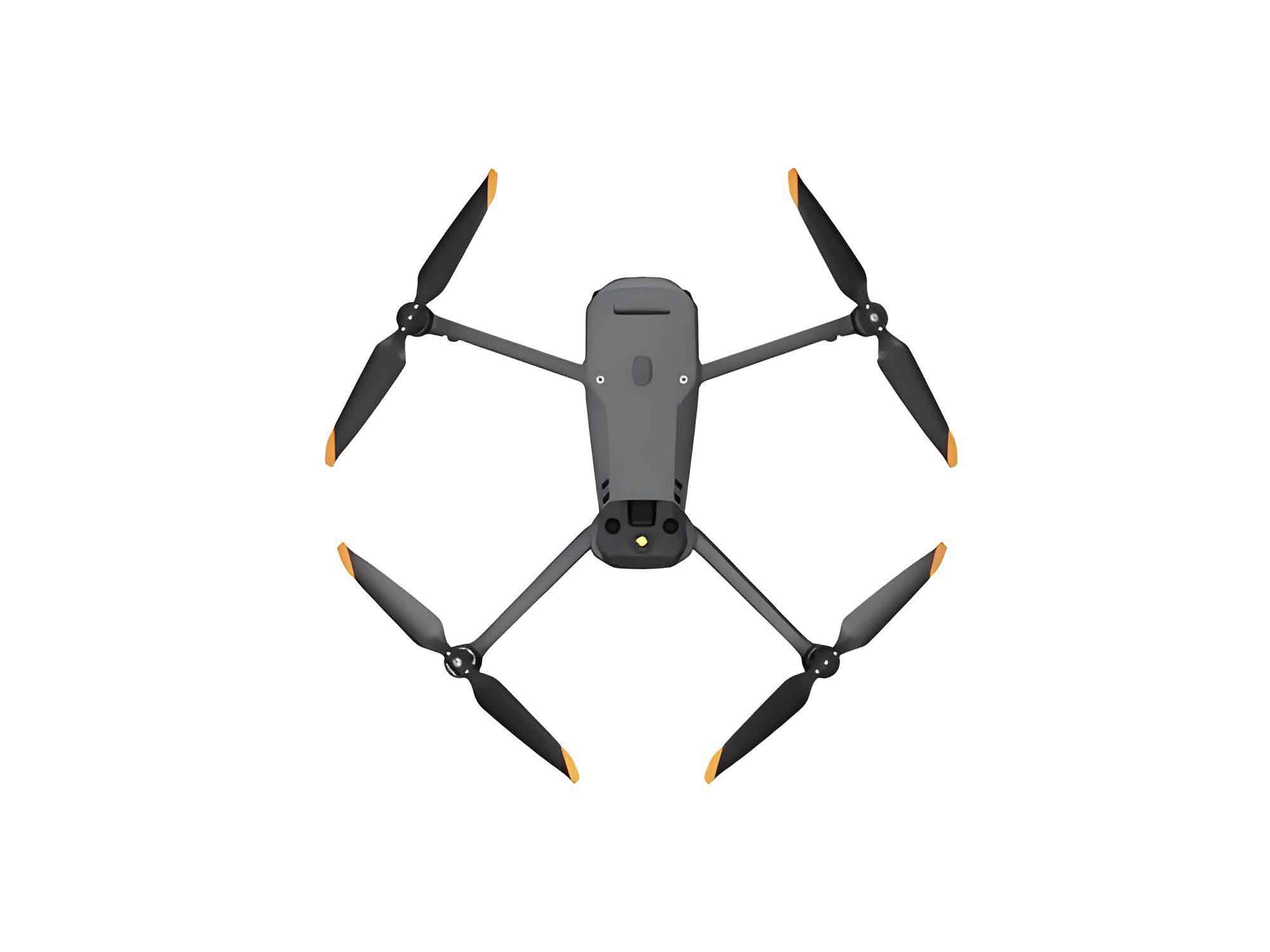
The effectiveness of the proposed algorithm was rigorously evaluated through field trials conducted near Nanjing University of Information Science & Technology. Experiments occurred at night under clear, calm conditions using the custom 5G-A ISAC system. A DJI MAVIC 3 PRO unmanned aerial vehicle served as the LSS target. Three datasets were collected:
- Group A: Contains target. Altitude: 1.5m, Speed: ~0.6 m/s.
- Group B: No target (Clutter only).
- Group C: Contains target. Altitude: 2m, Speed: ~0.3 m/s.
Algorithm Performance:
- Processing Group A: RD processing revealed the target located around range bin 30. Smoothing derivative peak finding on the Doppler spectrum of bin 30 detected multiple peaks. Applying the 2D CA-CFAR threshold significantly reduced noise peaks. Subsequent peak separation and fitting (using Levenberg-Marquardt) resolved two distinct Gaussian peaks. The peak at non-zero Doppler (approximately -10 Doppler units) was identified as the target. Using the system parameters (Doppler resolution Δv≈0.06Δv≈0.06 m/s, Range resolution ΔR≈1.22ΔR≈1.22 m), the target velocity and range were calculated as 0.60.6 m/s and 36.636.6 m, matching the ground truth.
- Processing Group B: Analysis of the same range bin (30) in the clutter-only data identified only one dominant peak centered at zero-Doppler after peak filtering and fitting, correctly indicating no target presence.
- Detection Probability: Processing 100 consecutive RD frames from Groups A and C yielded detection probabilities PdPd:
- Group A (0.6 m/s): Pd=0.83Pd=0.83
- Group C (0.3 m/s): Pd=0.73Pd=0.73
This demonstrates robust detection capability for slow-moving unmanned aerial vehicles under realistic low-altitude clutter conditions.
Performance Comparison:
The proposed algorithm was benchmarked against two standard techniques using Group A data (100 frames):
- Standard 2D CA-CFAR: Using identical parameters (Reference=4, Guard=2, Pfa=10−3Pfa=10−3). The detection probability was only Pd=0.49Pd=0.49. Performance degradation stemmed from the “target masking effect”: high clutter power near zero-Doppler significantly raised the CFAR threshold around the slow-moving target (also near zero-Doppler), masking its detection.
- MTI + 2D CA-CFAR: A Moving Target Indicator (MTI) filter (specifically, a first-order delay-line canceller) was applied first to suppress static clutter, followed by 2D CA-CFAR. While improving over standard CA-CFAR (Pd=0.70Pd=0.70), performance remained below the proposed method. Residual clutter energy after MTI and the suppression of the slow target’s energy (due to its proximity to the MTI filter notch at zero-Doppler) hindered reliable detection.
Table 2: Detection Performance Comparison (Group A, 100 Frames)
| Detection Algorithm | Detection Probability (PdPd) | Performance Gain vs. Proposed |
|---|---|---|
| Proposed (Peak Fit/Sep) | 0.83 | – |
| MTI + 2D CA-CFAR | 0.70 | +13% |
| Standard 2D CA-CFAR | 0.49 | +34% |
Conclusions and Future Outlook
The rapid growth of the low-altitude economy underscores the critical need for reliable unmanned aerial vehicle detection. Integrated sensing and communication (ISAC) is poised to be a cornerstone of 6G standards, making cellular network-based LSS detection essential. Addressing the specific challenges of low-altitude clutter, this paper presented a novel curve fitting and peak separation technique for 5G-A-based unmanned aerial vehicle detection. Key innovations include:
- Utilizing the unique smoothness and narrowness of low-altitude clutter near zero-Doppler.
- Employing a robust smoothing derivative method for initial peak detection.
- Integrating 2D CA-CFAR for effective noise peak filtering.
- Applying nonlinear curve fitting (Levenberg-Marquardt) to decompose overlapping peaks and accurately estimate target Doppler parameters.
- Implementing simple yet effective detection logic based on non-zero Doppler peaks.
Field trials conclusively validated the algorithm’s superior performance. It achieved significantly higher detection probabilities (0.83 and 0.73 for different slow UAV speeds) compared to traditional 2D CA-CFAR (0.49) and MTI + 2D CA-CFAR (0.70), demonstrating gains of 34% and 13%, respectively. Crucially, the algorithm effectively mitigates the target masking effect inherent in slow-moving unmanned aerial vehicle detection near strong clutter and reliably detects targets even in challenging SCR conditions.
Future work will focus on:
- Expanded Validation: Testing performance under diverse weather conditions (rain, fog, wind).
- Embedded Implementation: Developing real-time embedded versions of the algorithm for deployment on actual 5G-A base station hardware.
- Integration: Seamlessly integrating this detection capability into 5G-A network infrastructure for pervasive low-altitude airspace monitoring.
The successful development and deployment of such techniques are vital for ensuring the safe integration of unmanned aerial vehicles into national airspace, supporting the growth of the low-altitude economy, and contributing to the construction of modern, high-quality integrated national transportation networks and a robust modern economic system.