
The rapid evolution of the China UAV drone industry has necessitated breakthroughs in autonomous navigation, particularly in complex, obstacle-rich environments. The deployment of China UAV drone technology in logistics, disaster response, and environmental monitoring demands algorithms that can swiftly generate safe, smooth, and efficient flight paths. However, a fundamental trade-off exists between the quality of the generated path and the computational efficiency of the planning algorithm. To address this critical challenge, we propose a novel hybrid path planning algorithm, P-NRRTC, which synergistically integrates a Rapidly-exploring Random Tree Connect (RRT-Connect) algorithm with an enhanced Particle Swarm Optimization (PSO) framework. Our work contributes a robust solution tailored for the operational requirements of China UAV drone systems, balancing real-time performance with path optimality.
We structure our approach to first establish a rigorous mathematical model of the path planning problem. The environment is modeled as a two-dimensional continuous space \( Q \) containing static convex obstacles. A feasible path \( P \) is defined as an ordered sequence of waypoints connecting the start point \( S \) to the goal point \( G \). This path must satisfy two primary constraints: collision avoidance, ensuring no segment intersects an obstacle, and smoothness, which we quantify through the sum of absolute turning angles at intermediate waypoints. To holistically evaluate algorithm performance, we define a comprehensive evaluation function that integrates path length, smoothness, and execution time.
Problem Formulation and Mathematical Model
Our path planning problem for a China UAV drone is formally defined over a planar configuration space. Let the environment be represented as:
$$
Q = \{(x, y) \mid X_{\text{min}} \le x \le X_{\text{max}}, Y_{\text{min}} \le y \le Y_{\text{max}}\}
$$
Within this space, obstacles are modeled as convex polygons, specifically rectangles for computational efficiency. Each obstacle \( O_i \) is defined by its bottom-left coordinate, width, and height: \( O_i = (x_i, y_i, w_i, h_i) \). The path \( P \) is a sequence of waypoints connecting the start \( S \) and goal \( G \):
$$
P = \{\mathbf{S}, \mathbf{P}_1, \mathbf{P}_2, \dots, \mathbf{P}_{N_p}, \mathbf{G}\}
$$
The smoothness cost \( S(P) \) of a path is calculated from the turning angles at each intermediate waypoint:
$$
\theta_k = \arccos\left( \frac{(\mathbf{P}_{k-1}\mathbf{P}_k) \cdot (\mathbf{P}_k\mathbf{P}_{k+1})}{\|\mathbf{P}_{k-1}\mathbf{P}_k\| \| \mathbf{P}_k\mathbf{P}_{k+1} \|} \right), \quad S(P) = \sum_{k=1}^{N_p} \theta_k
$$
To evaluate the overall algorithm performance, we define a weighted comprehensive evaluation function \( F(P) \):
$$
F(P) = \alpha \cdot L(P) + \beta \cdot S(P) + \gamma \cdot T
$$
Where \( L(P) \) is the total path length, \( S(P) \) is the smoothness, \( T \) is the computational time, and \( \alpha, \beta, \gamma \) are weighting coefficients that sum to 1. This formulation allows us to directly compare the trade-offs made by different algorithms in the context of China UAV drone operations.
The P-NRRTC Algorithm Structure
1. Optimal Execution Count Screening
Our initial stage enhances the core RRT-Connect algorithm with intelligent parent node selection and a dynamic search radius. The search radius \( r(n) \) is adaptively determined based on the number of nodes \( n \) in the search tree:
$$
r(n) = \min\left( \gamma \cdot \left( \frac{\log n}{n} \right)^{1/d}, r_{\text{max}} \right)
$$
To systematically determine the optimal number of algorithm executions, we perform an extensive statistical analysis. For a candidate execution count \( n \) (ranging from 1 to 50), we execute the improved RRT-Connect \( n \) times in parallel and collect all feasible paths. After fusing and optimizing these paths with PSO, we evaluate the result using the comprehensive function. The execution count \( N^* \) that minimizes the average comprehensive value over 1,000 independent trials is selected:
$$
N^* = \arg\min_{n \in [1, N_{\text{max}}]} \overline{F}(n)
$$
Our experiments reveal that \( N^* = 3 \) provides the best balance between path diversity and computational cost for China UAV drone applications, as excessive runs lead to diminishing returns in quality while significantly increasing time.
| Execution Count (n) | Mean Path Length (m) | Mean Smoothness (°) | Mean Time (s) | Mean Comprehensive Value |
|---|---|---|---|---|
| 1 | 142.3 | 4.5 | 2.1 | 71.2 |
| 3 (Optimal, N*) | 131.3 | 2.9 | 4.1 | 67.4 |
| 5 | 129.8 | 2.8 | 6.8 | 68.5 |
| 10 | 128.9 | 2.7 | 13.5 | 72.1 |
2. Multi-Path Master-Slave Fusion with Guide Points
After obtaining three diverse paths from the screening stage, we prevent premature convergence to a local optimum by fusing their topological information. We first generate guide points along the straight line from the start to the goal. These guide points provide a strong heuristic prior for the optimal direction. The \(k\)-th guide point is:
$$
\mathbf{G}_k = \mathbf{S} + \frac{k}{M-1} (\mathbf{T} – \mathbf{S})
$$
In our master-slave fusion strategy, the shortest path among the three is designated as the master path \( P_{\text{master}} \), while the other two serve as slave paths \( P_{\text{slave}}^{(1)} \) and \( P_{\text{slave}}^{(2)} \). After resampling all paths to have the same number of nodes, we perform a weighted fusion:
$$
\mathbf{P}_{\text{fuse}}^{(j)} = w_{\text{master}}^{(j)} \mathbf{P}_{\text{master}} + w_{\text{slave1}}^{(j)} \mathbf{P}_{\text{slave}}^{(1)} + w_{\text{slave2}}^{(j)} \mathbf{P}_{\text{slave}}^{(2)}
$$
Where the master weight is randomly assigned in the range [0.5, 0.7], and slave weights are non-negative and sum to 1. This creates a population of fused paths that interpolate between the structural advantages of all three base paths without violating obstacle constraints. We subsequently insert collision-free guide points into the corresponding segments of the fused paths to enhance global directionality.
3. PSO with Local Dynamic Parameter Adjustment
To refine the initial paths, we implement a PSO optimizer that adapts its parameters based on the local complexity of the environment. The standard PSO velocity update equation is:
$$
\mathbf{v}_i^{(t+1)} = w(t) \mathbf{v}_i^{(t)} + c_1(t) r_1 (\mathbf{p}_{\text{best}, i} – \mathbf{x}_i^{(t)}) + c_2(t) r_2 (\mathbf{g}_{\text{best}} – \mathbf{x}_i^{(t)})
$$
We introduce a dynamic inertia weight that decays quadratically to balance early global exploration with late-stage local refinement:
$$
w(t) = w_{\text{start}} – (w_{\text{start}} – w_{\text{end}}) \cdot \left( \frac{t}{T_{\text{max}}} \right)^2
$$
Similarly, the cognitive and social learning factors are dynamically adjusted to favor individual experience early in the search and social influence later:
$$
c_1(t) = c_{1,\text{start}} + (c_{1,\text{end}} – c_{1,\text{start}}) \cdot \frac{t}{T_{\text{max}}}
$$
$$
c_2(t) = c_{2,\text{start}} – (c_{2,\text{start}} – c_{2,\text{end}}) \cdot \frac{t}{T_{\text{max}}}
$$
For path segments with high curvature or close proximity to obstacles, we temporarily increase the local particle count and iterations for targeted optimization. An early stopping mechanism halts the process if the global best fitness does not improve by more than a threshold \( \delta = 0.005 \) for a patience of \( K = 30 \) consecutive generations. This termination condition is defined as:
$$
\frac{|f_{\text{best}}^{(t-K)} – f_{\text{best}}^{(t)}|}{f_{\text{best}}^{(t-K)}} < \delta
$$
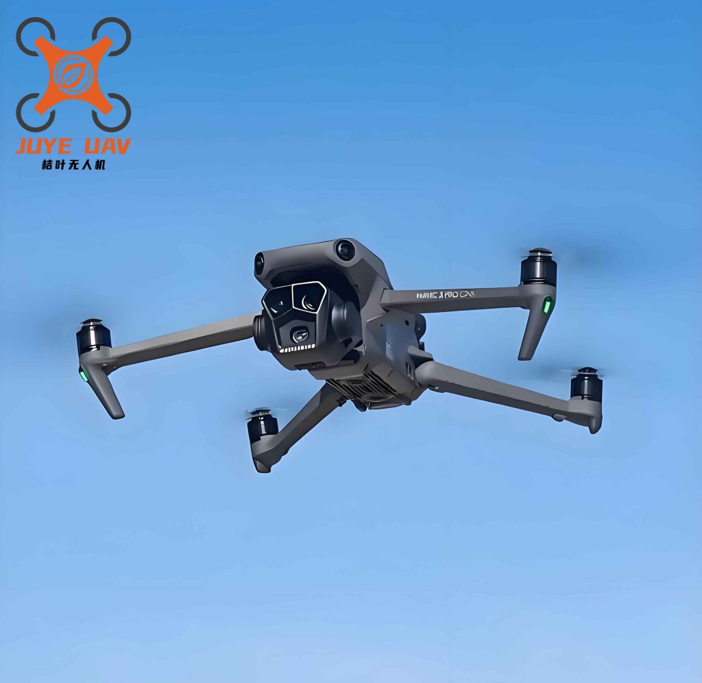
This comprehensive optimization framework is specifically designed to meet the stringent real-time and safety requirements of China UAV drone flight controllers. The dynamic parameter adjustment ensures that the algorithm can navigate the complex, non-convex search spaces typical of urban and industrial environments without getting trapped in local minima.
Experimental Validation and Analysis
We validated our P-NRRTC algorithm against three state-of-the-art path planning methods: Informed RRT*, Intermediary RRT*-PSO, and standard PSO-RRT. The experiments were conducted across four distinct environmental models, each presenting unique challenges. All tests were executed on a China UAV drone compatible embedded computing platform, and performance metrics were averaged over 100 independent Monte Carlo runs to ensure statistical significance.
Single Obstacle Model
This simple environment tests the fundamental pathfinding capability. All algorithms succeeded, but our P-NRRTC achieved the lowest comprehensive value through superior time and smoothness.
| Indicator | P-NRRTC | Informed RRT* | Intermediary RRT*-PSO | RRT-PSO |
|---|---|---|---|---|
| Length (m) | 33.05 | 33.11 | 33.25 | 32.55 |
| Smoothness (°) | 0.99 | 1.34 | 1.07 | 1.52 |
| Time (s) | 0.51 | 3.32 | 0.59 | 0.64 |
| Comprehensive Value | 15.62 | 17.82 | 17.02 | 16.77 |
| Success Rate (%) | 100 | 100 | 100 | 100 |
Narrow Passageway Model
This challenging environment contains three vertical columns with 0.6-unit gaps, simulating the tight spaces a China UAV drone might encounter during indoor inspection or bridge assessment. The narrow corridors demand high precision and robust exploration.
| Indicator | P-NRRTC | Intermediary RRT*-PSO | RRT-PSO |
|---|---|---|---|
| Length (m) | 46.96 | 47.38 | 46.24 |
| Smoothness (°) | 2.55 | 2.79 | 2.10 |
| Time (s) | 1.63 | 3.68 | 9.01 |
| Comprehensive Value | 24.48 | 25.35 | 26.24 |
| Success Rate (%) | 100 | 53 | 100 |
In this scenario, Informed RRT* could not find a feasible path. Our algorithm’s multi-path fusion strategy was critical for discovering the narrow passageways, achieving a 100% success rate and the best comprehensive performance. The significant reduction in planning time is a key advantage for real-time China UAV drone replanning.
Regular Multi-Obstacle Model
This structured environment consists of a 4×4 grid of 10×10 unit obstacles. It tests the algorithm’s ability to navigate structured corridors and make global route choices efficiently.
| Indicator | P-NRRTC | Informed RRT* | Intermediary RRT*-PSO | RRT-PSO |
|---|---|---|---|---|
| Length (m) | 131.34 | 135.83 | 134.14 | 131.42 |
| Smoothness (°) | 2.96 | 6.08 | 3.20 | 4.08 |
| Time (s) | 4.15 | 4.75 | 25.12 | 5.79 |
| Comprehensive Value | 67.46 | 70.56 | 75.25 | 68.26 |
| Success Rate (%) | 100 | 100 | 100 | 100 |
Our algorithm demonstrated a clear superiority in comprehensive value. While RRT-PSO managed a slightly shorter path length, it required significantly more computational time. This trade-off is particularly unfavorable for China UAV drone applications where dynamic environments necessitate rapid replanning. The smoothness of our path, which was 51% better than Informed RRT*, also translates directly to more stable flight and better energy efficiency.
Cluttered Multi-Obstacle Model
This final and most challenging model features 30 randomly distributed obstacles of varying shapes and sizes, simulating a non-structured, chaotic environment. It is the ultimate test of an algorithm’s global exploration capability and local optimization robustness.
| Indicator | P-NRRTC | Informed RRT* | Intermediary RRT*-PSO | RRT-PSO |
|---|---|---|---|---|
| Length (m) | 131.86 | 134.99 | 134.21 | 130.94 |
| Smoothness (°) | 2.21 | 4.05 | 2.23 | 2.95 |
| Time (s) | 7.32 | 10.22 | 20.23 | 14.46 |
| Comprehensive Value | 68.52 | 71.37 | 73.62 | 70.40 |
| Success Rate (%) | 100 | 98 | 100 | 100 |
In this chaotic environment, our P-NRRTC algorithm achieved the best comprehensive value, outperforming the next best algorithm, Informed RRT*, by 2.85 points (a 4% improvement). The execution time improvement over RRT-PSO was nearly 50%, and our smoothness was the best among all methods. This performance validates the effectiveness of our local dynamic parameter adjustment, which provides the necessary fine-grained control to navigate cluttered spaces smoothly. For a China UAV drone operating in a real-world environment like a disaster zone or a dense forest, this robust performance is critical for mission success.
Ablation Study and Sensitivity Analysis
We performed an ablation study to isolate the contribution of each component of P-NRRTC on the cluttered obstacle model. The results confirm the synergistic effect of our design:
| Configuration | Comprehensive Value | Time (s) | Success Rate (%) |
|---|---|---|---|
| Full P-NRRTC | 68.52 | 7.32 | 100 |
| Without Multi-Path Fusion (Single Path) | 71.15 | 6.01 | 96 |
| Without Guide Points | 69.88 | 7.65 | 100 |
| Without Dynamic PSO Tuning (Static PSO) | 70.01 | 8.45 | 98 |
The absence of multi-path fusion significantly reduced the success rate and overall quality, highlighting the importance of path diversity for navigating complex obstacles. The removal of guide points degraded the quality due to the loss of directional priors. Finally, using a static PSO led to a slower convergence and a slightly worse path quality, underscoring the necessity of dynamic parameter adaptation for efficient and precise optimization in China UAV drone path planning.
Conclusions and Future Work
We have presented P-NRRTC, a novel hybrid path planning algorithm that effectively balances the competing demands of computational efficiency and path quality for autonomous navigation. By systematically fusing multiple RRT-Connect paths with heuristic guide points and refining them using an adaptive PSO framework, our algorithm consistently outperforms existing state-of-the-art methods across a variety of complex environments. The proposed P-NRRTC algorithm represents a robust and practical solution for the next generation of China UAV drone systems, enabling safer and more efficient autonomous flight in challenging operational domains. Future work will focus on extending this framework to three-dimensional dynamic environments with moving obstacles and real-time onboard implementation on China UAV drone hardware platforms, further bridging the gap between algorithmic innovation and practical deployment.