
In the execution of large-scale infrastructure projects, such as modern logistics parks, ensuring geotechnical safety is paramount. Slope stability poses a significant and continuous challenge throughout the construction lifecycle. Traditional monitoring techniques, reliant on manual surveys and fixed instrumentation, often struggle with inefficiency, limited spatial coverage, and delayed data acquisition, potentially leaving critical areas unobserved until failure is imminent. My exploration and application of Unmanned Aerial Vehicle (UAV), or drone, technology has fundamentally transformed this paradigm. By integrating advanced aerial platforms with sophisticated sensors, I have established a comprehensive, efficient, and highly accurate monitoring framework. This article, drawn from my practical experience in major park construction, details the principles, value, and meticulous methodology of employing drones for slope monitoring, with a particular emphasis on the indispensable role of systematic drone training.
Overview of Drone Technology and System Architecture
At its core, a drone is an Unmanned Aerial Vehicle, a pilotless aircraft controlled remotely or via pre-programmed flight plans. The operational efficacy in engineering contexts hinges on selecting the appropriate platform and understanding its integrated systems. The primary platforms include fixed-wing, multi-rotor, and helicopter UAVs, each with distinct advantages.
| Platform Type | Key Characteristics | Ideal Use Case in Slope Monitoring |
|---|---|---|
| Fixed-Wing UAV | Long endurance, high speed, large coverage per flight. | Rapid initial topographic mapping of extensive project areas, periodic wide-area surveillance. |
| Multi-Rotor UAV | Vertical Take-Off and Landing (VTOL), high maneuverability, stable hovering. | High-frequency, close-range inspections of specific slopes, detailed photogrammetry, and LiDAR data collection in complex terrain. |
| Helicopter UAV | VTOL, long endurance (for larger models), heavy payload capacity. | Carrying multiple heavy sensors (e.g., high-grade LiDAR, thermal cameras) for comprehensive surveys. |
The functional system of a drone extends beyond the airframe. It is a synergistic integration of several key subsystems:
- Airframe: The physical structure, designed for stability and payload accommodation.
- Flight Control System (FCS): The “brain,” comprising sensors (accelerometers, gyroscopes, magnetometers) and a processor that stabilizes the aircraft and executes flight paths. The core algorithm often involves Proportional-Integral-Derivative (PID) control:
$$ u(t) = K_p e(t) + K_i \int_0^t e(\tau) d\tau + K_d \frac{de(t)}{dt} $$
where \( u(t) \) is the control output (e.g., motor command), \( e(t) \) is the error between desired and actual state (pitch, roll, yaw), and \( K_p, K_i, K_d \) are tuning constants. - Data Link: The wireless communication system for telemetry (sending flight data down) and telecommand (sending control signals up).
- Mission Payload: The sensors, primarily high-resolution RGB cameras for photogrammetry and Light Detection and Ranging (LiDAR) scanners for precise 3D modeling.
- Ground Control Station (GCS): The software interface for mission planning, real-time monitoring, and data management.
Application Value in Park Construction Slope Monitoring
The integration of drones delivers transformative value across multiple dimensions, addressing the critical shortcomings of traditional methods.
| Aspect | Traditional Methods | Drone-Based Methods | Impact |
|---|---|---|---|
| Efficiency & Coverage | Labor-intensive, slow, limited to accessible points. | Rapid aerial surveys covering entire slopes in minutes/hours. | Enables high-frequency monitoring (daily/weekly) for timely anomaly detection. |
| Data Accuracy & Density | Point-based measurements, interpolation between sparsely located sensors. | High-resolution, centimeter-accurate, dense point clouds (millions of data points per survey). | Provides a complete, quantifiable 3D model of the slope surface for precise deformation analysis. |
| Personnel Safety | Requires inspectors to work on or near unstable slopes. | Removes personnel from hazardous zones during data acquisition. | Dramatically reduces occupational risk. |
| Data Comprehensiveness | Primarily geotechnical (displacement, inclination). | Integrates visual, spectral, and topographic data (cracks, vegetation stress, erosion, precise volume calculation). | Facilitates holistic risk assessment and correlation analysis (e.g., displacement vs. rainfall). |
The core metric derived from repeat drone surveys is 3D change detection. By comparing Digital Surface Models (DSMs) or point clouds from epoch T1 and T2, the volumetric change or surface displacement vector \( \vec{d}_{x,y,z} \) for any point can be calculated:
$$ \vec{d}_{i}(T_1, T_2) = \vec{P}_i(T_2) – \vec{P}_i(T_1) $$
where \( \vec{P}_i(T) \) is the 3D coordinate vector \((X, Y, Z)\) of point \(i\) at time \(T\). The magnitude of horizontal displacement is often a critical预警 indicator:
$$ d_{h} = \sqrt{(X_{T2}-X_{T1})^2 + (Y_{T2}-Y_{T1})^2} $$
Methodology for Application
1. Precise Monitoring Point Positioning and Flight Planning
Effective monitoring begins with strategic planning. While drones capture area-based data, the concept of “virtual monitoring points” (specific areas of interest like a crack tip or crest) is crucial. Positioning leverages Real-Time Kinematic (RTK) or Post-Processed Kinematic (PPK) GPS technology integrated into the drone, achieving centimeter-level absolute accuracy. This eliminates the need for numerous physical ground control points (GCPs), though a few surveyed check points are still recommended for validation.
Flight planning parameters are calculated based on the desired ground sampling distance (GSD), which determines the image resolution and model accuracy:
$$ GSD = \frac{H \times s}{f} $$
where \( H \) is flight altitude above ground, \( s \) is the sensor pixel size, and \( f \) is the lens focal length. For slope monitoring, a GSD of 1-3 cm is typically targeted. Front and side overlap (often 70%-80%) is set to ensure complete 3D model reconstruction.
2. Data Acquisition and Transmission Protocols
Systematic data acquisition employs two primary payloads in a complementary manner:
- Photogrammetry: High-overlap RGB imagery is processed via Structure-from-Motion (SfM) algorithms to generate orthomosaics and 3D models.
- LiDAR: A laser scanner actively measures distances, generating a direct, highly accurate 3D point cloud. It is superior for mapping under vegetation and creating digital terrain models (DTMs). The point density \( \rho \) is a key metric:
$$ \rho \approx \frac{PRF \times \text{Scan Frequency}}{V_{ground}} $$
where \( PRF \) is the laser pulse repetition rate and \( V_{ground} \) is the drone’s ground speed.
Data is either stored onboard and downloaded post-flight or streamed in real-time via a robust data link for urgent situations, ensuring timely availability for analysis.
3. Image Processing and Analysis Workflow
The raw data undergoes a rigorous processing pipeline:
- Pre-processing: Includes geometric and radiometric correction of images.
- 3D Reconstruction: Using SfM software (e.g., Agisoft Metashape, Pix4D) to align images and build sparse then dense point clouds, meshes, and DSMs.
- Change Detection & Feature Extraction: Comparing multi-epoch models to compute displacement maps. Automated crack detection can use edge detection algorithms like the Canny operator, which finds edges by locating gradients where \( \nabla f = \sqrt{G_x^2 + G_y^2} \) exceeds a threshold. Vegetation index analysis (e.g., NDVI from multispectral cameras) can indicate stress:
$$ NDVI = \frac{(NIR – Red)}{(NIR + Red)} $$
4. Warning Indicator Setting and Triggering Mechanism
Early warning is the ultimate goal. Quantifiable thresholds are established based on design tolerances, regulations, and empirical data from the site. A multi-tiered warning system is implemented.
| Warning Level | Displacement Rate Threshold | Cumulative Displacement Threshold | Action Trigger |
|---|---|---|---|
| Attention (Level 1) | 2 – 5 mm/day | 20 – 50 mm | Increase monitoring frequency. Review data. |
| Alert (Level 2) | 5 – 10 mm/day | 50 – 100 mm | Notify site management. Conduct detailed inspection. Prepare mitigation plans. |
| Alarm (Level 3) | > 10 mm/day | > 100 mm | Immediate evacuation of risk zone. Execute emergency mitigation measures. |
These thresholds are programmed into the monitoring software. When automated analysis detects values exceeding a set level, alerts are automatically generated via SMS or email to the responsible engineers.
5. Equipment Maintenance and Environmental Adaptation Strategy
Reliability is non-negotiable. A strict maintenance regimen is followed:
- Pre/Post-flight Checks: Inspecting propellers, motors, battery health, and sensor cleanliness.
- Calibration: Regular calibration of the compass, IMU, and RTK module.
- Software Updates: Keeping flight control and payload firmware current.
- Environmental Preparation: Assessing weather (wind, precipitation) and planning flights accordingly. Having contingency plans for unexpected environmental changes is a core part of operational drone training.
6. Data Processing and Analysis Strategy
The strategy moves from raw data to actionable intelligence. After 3D model generation, specialized geotechnical or GIS software is used for quantitative analysis. Key analyses include:
- Differential Profiling: Extracting cross-sectional profiles from different epochs to visualize deformation.
- Volumetric Calculation: Computing cut/fill volumes between surveys using the DSM difference. The volume \( V \) between two surfaces is:
$$ V = \iint_{A} (Z_{T2}(x,y) – Z_{T1}(x,y)) \,dx\,dy $$
where \( A \) is the area of interest. - Time-Series Analysis: Plotting displacement of specific points over time to identify trends and correlate with triggers like precipitation \( P(t) \), potentially modeling it as:
$$ d(t) = \alpha \int P(t) dt + \beta t + \gamma $$
where \( \alpha, \beta, \gamma \) are site-specific coefficients.
7. The Critical Role of Personnel Training and Team Collaboration
The most advanced technology is only as good as the team operating it. Comprehensive drone training is the cornerstone of a successful program. This training extends far beyond basic piloting skills.
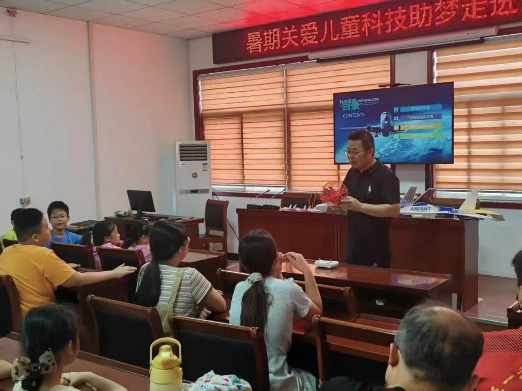
Effective drone training for engineering teams must encompass a structured curriculum, as outlined below.
| Training Module | Key Content | Objective |
|---|---|---|
| 1. Regulatory & Safety | Airspace regulations, operational permits, risk assessment, site-specific safety protocols. | Ensure legal compliance and establish a culture of safety-first operations. |
| 2. Advanced Flight Operations | Mission planning for complex topography, manual flight in GNSS-denied areas, contingency management. | Develop pilots capable of executing missions reliably in challenging real-world site conditions. |
| 3. Sensor & Data Acq. | Principles of photogrammetry/LiDAR, payload configuration, parameter optimization for different goals (e.g., crack mapping vs. volumetrics). | Enable technicians to capture fit-for-purpose, high-quality data consistently. |
| 4. Data Processing & Analysis | Software workflow mastery, quality control of outputs, interpretation of geotechnical data (displacement vectors, strain analysis). | Transform raw data into accurate, interpretable engineering information and reports. |
| 5. Maintenance & Troubleshooting | Systematic maintenance procedures, diagnosis of common hardware/software issues, logbook management. | Maximize equipment uptime, longevity, and data reliability. |
Furthermore, successful implementation hinges on seamless collaboration within a multidisciplinary team. The drone pilot, data processing specialist, geotechnical engineer, and project manager must work in an integrated feedback loop. The pilot provides the raw data, the specialist processes it into models and maps, the engineer interprets the geotechnical significance, and the manager makes informed decisions. Regular briefings and shared data platforms are essential. This collaborative synergy, built upon a foundation of rigorous drone training, ensures that the technology delivers its full potential in safeguarding the project.
Conclusion
The application of drone technology represents a paradigm shift in slope monitoring for major construction projects. My experience demonstrates that it delivers unprecedented gains in efficiency, data quality, safety, and analytical depth. From precise RTK-guided surveys and multi-sensor data fusion to automated change detection and tiered预警 systems, the methodology provides a robust framework for proactive risk management. However, the technology itself is not a silver bullet. Its effectiveness is critically dependent on a well-trained, cohesive team. Investment in comprehensive, ongoing drone training across operational, technical, and analytical domains is the essential catalyst that transforms powerful hardware into a reliable, decision-support system. As drone capabilities continue to advance, their role will expand beyond monitoring to include automated progress tracking, as-built verification, and integrated digital twin creation, further cementing their status as an indispensable tool in modern construction engineering and geotechnical safety management.