
In the realm of modern agriculture, the integration of unmanned aerial vehicles (UAVs), specifically agricultural drones, has revolutionized crop management and protection practices. These aerial systems offer precision, efficiency, and reduced labor costs, making them indispensable tools for large-scale farming operations. However, the effectiveness of an agricultural drone heavily relies on its monitoring and control system, which serves as the nerve center during flight operations. Traditional monitoring systems often suffer from limitations such as high production costs, bulky designs, and complex user interfaces, hindering their portability and accessibility for field operators. To address these challenges, we propose the development of a mobile monitoring software system based on the Android platform. This system aims to provide a cost-effective, user-friendly, and portable solution for real-time control and supervision of agricultural drones during plant protection missions. By leveraging the widespread adoption of Android devices, our approach seeks to democratize access to advanced drone control technologies, thereby enhancing operational efficiency and safety in agricultural applications.
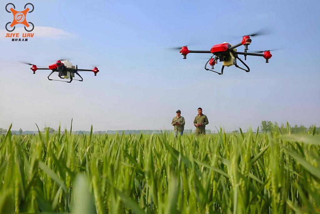
The proliferation of agricultural drones in precision agriculture has heightened the demand for robust monitoring systems that can ensure reliable flight control and data acquisition. Current systems often involve dedicated ground control stations that are expensive and not easily transportable, limiting their use in dynamic field conditions. In contrast, mobile-based solutions utilizing smartphones or tablets offer significant advantages in terms of mobility, cost reduction, and ease of use. Our work focuses on designing an Android-based monitoring software that enables operators to control agricultural drones seamlessly from a handheld device. This system not only facilitates basic flight maneuvers but also integrates advanced features such as real-time telemetry data visualization, autonomous flight path planning, and spray parameter adjustment. The core objective is to create a comprehensive software suite that empowers users to manage all aspects of agricultural drone operations, from pre-flight checks to in-flight adjustments and post-mission analysis, thereby optimizing resource utilization and minimizing environmental impact.
To lay the foundation for our software design, it is essential to understand the underlying Android platform architecture. Android is an open-source mobile operating system based on the Linux kernel, renowned for its flexibility, extensive developer community, and rich set of application programming interfaces (APIs). The architecture is stratified into four primary layers: the Linux kernel layer, which provides hardware abstraction and core system services; the native libraries and Android runtime layer, which includes libraries for graphics, database management, and the Dalvik Virtual Machine (or more recently, the Android Runtime); the application framework layer, which offers high-level services for app development; and the application layer, where user-facing apps reside. For our agricultural drone monitoring software, we primarily interact with the application framework and application layers, utilizing components such as Activities, Services, Broadcast Receivers, and Content Providers to build a responsive and efficient user interface.
Android’s component-based model is pivotal for designing interactive applications. An Activity represents a single screen with a user interface, allowing operators to view and control the agricultural drone’s status. For instance, we can design separate Activities for flight control, parameter settings, and data logging. Services run in the background to handle long-running operations, such as maintaining a persistent connection with the agricultural drone via network protocols, ensuring that telemetry data is continuously received even when the app is not in the foreground. Broadcast Receivers facilitate communication between different components or apps, enabling events like low battery warnings or GPS signal loss to be propagated throughout the system. Content Providers manage shared data sets, which could be used to store historical flight logs or configuration profiles for the agricultural drone. Understanding these components allows us to architect a modular and maintainable software system.
Network communication is another critical aspect, as the monitoring software must exchange data with the agricultural drone in real-time. Android supports various communication protocols, but for our purposes, we focus on Socket-based transmission and Hypertext Transfer Protocol (HTTP). Socket communication, utilizing Transmission Control Protocol (TCP) or User Datagram Protocol (UDP), is ideal for low-latency, bidirectional data flow between the Android device and the drone’s onboard computer. This enables real-time transmission of control commands (e.g., throttle, pitch, yaw) and reception of sensor data (e.g., altitude, speed, battery level). HTTP, on the other hand, can be employed for less time-sensitive operations, such as downloading firmware updates or uploading mission logs to a cloud server. The choice of protocol depends on the specific requirement; for instance, flight control demands high reliability and speed, making TCP sockets preferable, while telemetry data streaming might use UDP for efficiency. We model the data packet structure for communication with the agricultural drone using a standardized format to ensure interoperability and error detection.
The data packet for agricultural drone communication typically includes fields for packet header, length, command ID, payload, and checksum. A generic representation can be given by:
$$ P = \{ \text{Header}, L, C_{\text{ID}}, D_{\text{payload}}, \text{Checksum} \} $$
where \( P \) denotes the entire packet, \( \text{Header} \) is a fixed sequence (e.g., 2 bytes) identifying the start of the packet, \( L \) is the length of the payload, \( C_{\text{ID}} \) is the command identifier specifying the action (e.g., 0x01 for altitude adjustment), \( D_{\text{payload}} \) contains the actual data (e.g., target altitude in meters), and \( \text{Checksum} \) is computed to verify integrity. The checksum can be calculated as a cyclic redundancy check (CRC) or a simple sum. For example, if we use a 16-bit sum checksum, it can be expressed as:
$$ \text{Checksum} = \sum_{i=1}^{n} b_i \mod 2^{16} $$
where \( b_i \) represents each byte in the packet excluding the checksum field, and \( n \) is the total number of bytes. This mathematical formulation ensures that data corruption during transmission is detectable, which is crucial for the safe operation of the agricultural drone.
Moving to the system design, our agricultural drone monitoring software is structured into two main platforms: the Parameter Invocation Platform and the Flight Management Platform. The Parameter Invocation Platform handles pre-flight and post-flight operations, including viewing historical data, adjusting configuration settings, and calibrating sensors. This platform allows operators to review past missions of the agricultural drone, analyze performance metrics, and set parameters such as maximum flight altitude, geofence boundaries, and spray rates. The Flight Management Platform is dedicated to real-time control during missions, featuring tools for trajectory planning, autonomous navigation, and emergency handling. Both platforms integrate seamlessly through a centralized database and network interface, ensuring consistent data flow and user experience. The overall system framework is depicted in a conceptual diagram, emphasizing modularity and scalability to accommodate future enhancements like multi-drone coordination or advanced computer vision algorithms for crop health monitoring.
To elaborate, the Parameter Invocation Platform comprises modules for device configuration, data analytics, and system diagnostics. For instance, operators can access a detailed summary of the agricultural drone’s hardware status, including battery health, motor efficiency, and payload condition. This information is vital for preventive maintenance and ensuring flight safety. The Flight Management Platform, on the other hand, includes submodules for map visualization, waypoint editing, and real-time telemetry display. Operators can plot flight paths by specifying waypoints on a digital map, and the software automatically generates a smooth trajectory using interpolation algorithms. For waypoint navigation, we employ algorithms based on Bézier curves or polynomial paths to ensure smooth transitions. The trajectory between waypoints can be represented parametrically. For example, a cubic Bézier curve for a segment from waypoint \( W_0 \) to \( W_3 \) with control points \( W_1 \) and \( W_2 \) is given by:
$$ B(t) = (1-t)^3 W_0 + 3(1-t)^2 t W_1 + 3(1-t) t^2 W_2 + t^3 W_3, \quad t \in [0,1] $$
where \( B(t) \) denotes the position at parameter \( t \). This allows the agricultural drone to follow curved paths efficiently, minimizing sharp turns that could affect spray uniformity or stability.
In terms of software implementation, the agricultural drone monitoring app begins with a user authentication screen to ensure secure access. After login, the main interface presents options to enter either platform. The workflow for mode switching is designed to be intuitive: upon selecting a mission, the operator chooses between manual control, semi-autonomous, or fully autonomous modes based on the agricultural drone’s capabilities and field conditions. The mode switching logic involves checking system states and sensor readings to ensure safe transitions. For example, switching to autonomous mode requires valid GPS signal, adequate battery level, and proper sensor calibration. We can represent this as a conditional logic flow:
$$ \text{SwitchAllowed} = \begin{cases}
\text{true} & \text{if } S_{\text{GPS}} \geq \text{Threshold}_{\text{GPS}} \land V_{\text{battery}} \geq V_{\text{min}} \land C_{\text{sensor}} = \text{OK} \\
\text{false} & \text{otherwise}
\end{cases} $$
where \( S_{\text{GPS}} \) is the GPS signal strength, \( V_{\text{battery}} \) is the battery voltage, and \( C_{\text{sensor}} \) is the sensor calibration status. This ensures that the agricultural drone operates only under safe conditions.
Parameter setting is a core functionality, as agricultural drones require precise configuration for effective plant protection. The software includes interfaces to adjust flight parameters (e.g., speed, altitude) and spray parameters (e.g., flow rate, swath width). These settings are transmitted to the agricultural drone via the communication protocol discussed earlier. To manage the diverse parameters, we organize them into categories and use a tabbed interface for ease of navigation. Below is a summary table of key parameters and their typical ranges for an agricultural drone:
| Parameter Category | Specific Parameter | Typical Range | Unit | Description |
|---|---|---|---|---|
| Flight Parameters | Cruising Speed | 3 – 8 | m/s | Speed during spraying operations |
| Operating Altitude | 2 – 5 | m | Height above crop canopy | |
| Maximum Flight Time | 15 – 30 | min | Based on battery capacity | |
| Spray Parameters | Flow Rate | 0.5 – 2.0 | L/min | Liquid output from nozzles |
| Swath Width | 3 – 6 | m | Effective coverage width | |
| Spray Volume | 10 – 30 | L/ha | Application rate per area | |
| Safety Parameters | Low Battery Voltage | 3.45 – 3.55 | V | Threshold for warning and auto-landing |
| Geofence Radius | 50 – 500 | m | Boundary for restricted flight zone |
These parameters are stored in a local database on the Android device and synchronized with the agricultural drone upon connection. The software also allows saving multiple profiles for different crops or field conditions, enhancing operational flexibility.
Communication between the Android device and the agricultural drone is established via Bluetooth or serial over USB, depending on hardware compatibility. Bluetooth is preferred for its wireless convenience, while serial connection offers higher reliability for data-intensive tasks. In both cases, the software implements a robust handshake protocol to ensure stable links. The data exchange follows a request-response pattern, where the Android app sends command packets and the agricultural drone replies with acknowledgment and telemetry data. For telemetry, we define a structured data format that includes time-stamped sensor readings. A simplified telemetry packet might look like:
$$ T = \{ t, \text{Lat}, \text{Lon}, h, v, \phi, \theta, \psi, V_{\text{bat}} \} $$
where \( t \) is timestamp, \( \text{Lat} \) and \( \text{Lon} \) are GPS coordinates, \( h \) is altitude, \( v \) is velocity, \( \phi, \theta, \psi \) are roll, pitch, and yaw angles, and \( V_{\text{bat}} \) is battery voltage. This data is displayed in real-time on the Flight Management Platform, allowing operators to monitor the agricultural drone’s status continuously.
For flight control algorithms, we incorporate basic PID (Proportional-Integral-Derivative) controllers for stability and navigation. The PID controller adjusts the agricultural drone’s motor outputs based on error between desired and actual states. For altitude control, the control signal \( u(t) \) can be expressed as:
$$ u(t) = K_p e(t) + K_i \int_0^t e(\tau) d\tau + K_d \frac{de(t)}{dt} $$
where \( e(t) = h_{\text{desired}} – h_{\text{actual}} \) is the altitude error, and \( K_p, K_i, K_d \) are tuning gains. These gains can be adjusted via the software interface to match the agricultural drone’s dynamics. Similarly, for waypoint navigation, we use a guidance law that computes desired heading and speed based on current position and target waypoint. The cross-track error \( d \) for path following can be minimized using a pure pursuit algorithm, where the desired curvature \( \kappa \) is given by:
$$ \kappa = \frac{2 \sin(\alpha)}{L} $$
where \( \alpha \) is the angle between the agricultural drone’s heading and the line to the target, and \( L \) is the look-ahead distance. These mathematical models are implemented in the software’s background services, ensuring smooth and accurate control of the agricultural drone.
Safety is paramount in agricultural drone operations. The software integrates multiple safety strategies, including low-battery protocols, geofencing, and fail-safe modes. For instance, when the battery voltage drops below a critical threshold (e.g., 3.45V), the software triggers an automatic landing sequence, overriding manual commands. This can be modeled as a state machine where the agricultural drone transitions from normal operation to emergency landing based on voltage readings. Additionally, the software includes a real-time alert system that notifies operators of anomalies such as GPS signal loss, motor faults, or obstacle proximity. These alerts are displayed on-screen and logged for post-mission analysis.
To validate our design, we conducted extensive testing of the agricultural drone monitoring software on various Android devices and with a prototype agricultural drone. The testing phase focused on functionality, usability, and reliability. The main interface was designed to be intuitive, with large buttons and clear icons for easy operation in field conditions. After logging in, operators can access the Parameter Invocation Platform to configure the agricultural drone. The configuration screen shows options for selecting drone model, setting battery parameters, and calibrating sensors. Below is a summary of test scenarios and outcomes:
| Test Module | Test Case | Expected Result | Actual Result | Status |
|---|---|---|---|---|
| User Authentication | Login with valid credentials | Access to main menu | Successful login | Pass |
| Parameter Setting | Adjust spray flow rate to 1.5 L/min | Parameter saved and transmitted | Drone acknowledged change | Pass |
| Flight Control | Manual control via virtual joystick | Drone responds to pitch/roll commands | Smooth response within 200ms latency | Pass |
| Trajectory Planning | Plot a rectangular path with 4 waypoints | Path displayed on map and uploaded to drone | Drone followed path with < 1m deviation | Pass |
| Safety Features | Simulate low battery (3.4V) | Auto-landing initiated and warning shown | Drone landed safely; alert displayed | Pass |
| Data Logging | Complete a 10-minute flight | Telemetry data recorded and exportable | Data saved in CSV format; no loss | Pass |
The results demonstrate that the software effectively controls the agricultural drone across various operational scenarios. Latency in command transmission was measured to be below 250 milliseconds, which is acceptable for most agricultural applications. The interface responsiveness was rated highly by test users, who appreciated the clear layout and easy access to critical functions. Furthermore, the software’s resource consumption on Android devices was optimized to prevent battery drain; during testing, it used less than 15% of CPU and 200MB of RAM on average, ensuring compatibility with mid-range smartphones.
In addition to functional testing, we evaluated the software’s performance under different environmental conditions, such as areas with weak GPS signals or high electromagnetic interference. The agricultural drone monitoring software includes algorithms to handle such situations, for instance, by relying on inertial measurement unit (IMU) data when GPS accuracy degrades. The position estimation can be modeled using sensor fusion techniques like Kalman filtering, which combines GPS and IMU data to provide a more robust estimate. The Kalman filter equations for state prediction and update are:
$$ \hat{x}_{k|k-1} = F_k \hat{x}_{k-1|k-1} + B_k u_k $$
$$ P_{k|k-1} = F_k P_{k-1|k-1} F_k^T + Q_k $$
where \( \hat{x} \) is the state estimate (position, velocity), \( F \) is the state transition matrix, \( u \) is control input, \( P \) is error covariance, and \( Q \) is process noise covariance. The update step incorporates sensor measurements \( z_k \):
$$ K_k = P_{k|k-1} H_k^T (H_k P_{k|k-1} H_k^T + R_k)^{-1} $$
$$ \hat{x}_{k|k} = \hat{x}_{k|k-1} + K_k (z_k – H_k \hat{x}_{k|k-1}) $$
$$ P_{k|k} = (I – K_k H_k) P_{k|k-1} $$
where \( K \) is the Kalman gain, \( H \) is the measurement matrix, and \( R \) is measurement noise covariance. Implementing such algorithms in the software enhances the agricultural drone’s navigation reliability, especially in challenging environments.
Looking ahead, there are several avenues for extending the capabilities of our agricultural drone monitoring software. Future versions could incorporate machine learning models for real-time crop disease detection using camera feeds from the agricultural drone, or integrate with IoT sensors in the field for precision irrigation management. Additionally, support for swarm operations, where multiple agricultural drones coordinate to cover large areas, would be a significant advancement. This would require enhancements in communication protocols and distributed control algorithms. The modular design of our software facilitates such extensions, as new features can be added as separate modules or plugins.
In conclusion, the development of an Android-based monitoring software for agricultural drones addresses the pressing need for portable, cost-effective, and user-friendly control systems in modern agriculture. Our design leverages the widespread Android ecosystem to provide comprehensive functionalities for flight control, parameter management, and safety assurance. Through rigorous testing, we have validated that the software performs reliably in real-world conditions, enabling operators to efficiently manage agricultural drone missions. The integration of mathematical models for control and navigation, along with a robust communication framework, ensures precise and safe operations. As agricultural drones continue to evolve, such mobile software solutions will play a pivotal role in maximizing their potential for sustainable farming practices. We believe that this work contributes a valuable tool to the agricultural technology landscape, paving the way for more accessible and intelligent drone-assisted crop management.