In tropical regions like the Xisha Islands, persistent cloud cover often hinders the acquisition of high-quality optical satellite imagery, leading to significant data gaps that complicate continuous environmental monitoring. To address this challenge, we leveraged the capabilities of low-altitude unmanned aerial vehicles (UAVs), specifically the DJI Phantom 4 multispectral platform, to assess vegetation health and dynamics. This study focuses on North Island, where we acquired multispectral data in May 2020 to derive key vegetation indices, including the Normalized Difference Vegetation Index (NDVI), Grassland Chlorophyll Index (GCI), Green Normalized Difference Vegetation Index (GNDVI), and Normalized Green-Red Difference Index (NGRDI). By integrating historical satellite imagery from WorldView-2 and meteorological data, we analyzed temporal changes in vegetation conditions between 2018 and 2020, identifying potential climatic drivers. Our findings demonstrate that the DJI UAV platform provides a robust, high-resolution solution for quantitative vegetation monitoring in cloud-prone tropical islands, revealing significant vegetation stress in 2020 linked to increased temperature, wind speed, and reduced precipitation.
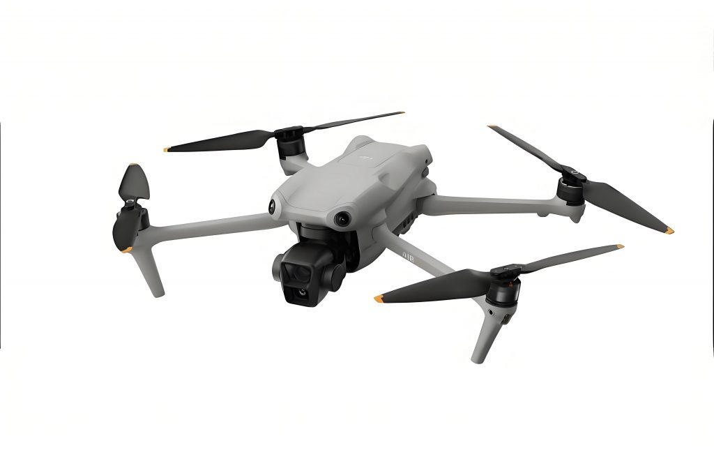
The DJI UAV, particularly the DJI Phantom 4 multispectral model, equipped with five distinct bands—blue (450 nm), green (560 nm), red (650 nm), red edge (730 nm), and near-infrared (840 nm)—enables precise spectral analysis. Each band has a narrow bandwidth, enhancing the accuracy of vegetation indices. The inclusion of a sunlight sensor on the DJI drone allows for real-time irradiance measurement, facilitating radiometric correction and improving reflectance accuracy. We conducted flights at 120 meters altitude, achieving a spatial resolution of 6.4 cm, with 65% side overlap and 70% forward overlap to ensure comprehensive coverage. Post-processing involved band registration using the Enhanced Correlation Coefficient (ECC) algorithm, radiometric calibration to convert digital numbers to reflectance, and image stitching via DJI Terra software, resulting in a 2-meter resolution multispectral mosaic. This meticulous processing ensures that the data from the DJI UAV are suitable for detailed ecological assessments.
Vegetation indices serve as proxies for biophysical parameters, and we computed four indices to evaluate coverage, chlorophyll content, and overall health. The NDVI, a widely used metric, is defined as:
$$ NDVI = \frac{\rho_{NIR} – \rho_{RED}}{\rho_{NIR} + \rho_{RED}} $$
where $\rho_{NIR}$ and $\rho_{RED}$ represent reflectance in the near-infrared and red bands, respectively. Values range from -1 to 1, with higher values indicating greater vegetation density. For chlorophyll assessment, we used the GCI:
$$ GCI = \frac{\rho_{NIR}}{\rho_{GREEN}} – 1 $$
which correlates with leaf chlorophyll concentration, where $\rho_{GREEN}$ is green band reflectance. The GNDVI, an adaptation of NDVI, offers improved sensitivity to chlorophyll variations:
$$ GNDVI = \frac{\rho_{NIR} – \rho_{GREEN}}{\rho_{NIR} + \rho_{GREEN}} $$
Similarly, the NGRDI emphasizes green vegetation coverage:
$$ NGRDI = \frac{\rho_{GREEN} – \rho_{RED}}{\rho_{GREEN} + \rho_{RED}} $$
These indices, derived from the DJI drone’s multispectral data, provide a comprehensive view of vegetation status. The DJI UAV’s ability to capture high-fidelity spectral information under cloudy conditions underscores its advantage over satellite systems.
In May 2020, the DJI UAV-based analysis revealed moderate vegetation health on North Island, with average index values of NDVI = 0.30, GCI = 0.84, GNDVI = 0.26, and NGRDI = 0.05. Spatial heterogeneity was evident, with higher index values along the coastal edges, suggesting better growth due to higher humidity, while interior regions showed lower values, indicating potential stress or bare soil. The distribution of these indices, as summarized in Table 1, highlights the variability across the island. The relatively low NDVI and GCI values point to reduced coverage and chlorophyll content, consistent with field observations of yellowish vegetation. The DJI FPV technology, though not directly used here, exemplifies the versatility of DJI platforms in adapting to various monitoring needs.
| Vegetation Index | Minimum Value | Maximum Value | Mean Value | Standard Deviation |
|---|---|---|---|---|
| NDVI | -0.12 | 0.68 | 0.30 | 0.15 |
| GCI | 0.45 | 1.52 | 0.84 | 0.22 |
| GNDVI | -0.08 | 0.61 | 0.26 | 0.14 |
| NGRDI | -0.15 | 0.28 | 0.05 | 0.09 |
To contextualize the 2020 findings, we compared them with WorldView-2 satellite data from May 2018, accounting for sensor differences by focusing on relative changes between artificially managed (Area A) and naturally growing (Area B) vegetation zones. The difference in index values, calculated as:
$$ D_{AB} = \frac{I_A – I_B}{I_B} \times 100\% $$
where $I_A$ and $I_B$ are the mean index values for Areas A and B, respectively, showed a notable shift. In 2018, differences ranged from -23% to 15%, indicating relatively similar conditions, with managed areas sometimes underperforming due to human disturbance. However, in 2020, differences increased to 15–40%, with consistently higher values in managed areas, signaling heightened environmental stress on natural vegetation. This contrast, detailed in Table 2, underscores the DJI drone’s capability to detect subtle ecological changes. The use of DJI UAV for such comparative analysis highlights its utility in long-term monitoring programs.
| Year | NDVI Difference (%) | GCI Difference (%) | GNDVI Difference (%) | NGRDI Difference (%) |
|---|---|---|---|---|
| 2018 | -1.3 | 15.4 | 3.1 | -23.4 |
| 2020 | 24.0 | 20.2 | 15.0 | 40.0 |
Meteorological data from April to May 2020 revealed critical climatic anomalies that likely drove the observed vegetation degradation. Average daily temperatures rose to 29°C, approximately 0.5°C higher than the 2018 and historical averages, increasing evapotranspiration rates. Concurrently, average wind speeds escalated to 4.46 m/s, compared to 3.36 m/s in 2018, amplifying soil moisture loss. Precipitation plummeted to 75.69 mm, a significant drop from 182.12 mm in 2018, exacerbating water deficit. These factors, summarized in Table 3, created a synergistic effect, stressing vegetation and reducing photosynthetic activity. The DJI UAV’s ability to capture these impacts in near-real-time demonstrates its value for climate resilience studies. Incorporating DJI FPV systems could further enhance dynamic monitoring of such environmental shifts.
| Parameter | 2020 Value | 2018 Value | Historical Average (1984-2013) |
|---|---|---|---|
| Mean Temperature (°C) | 29.0 | 28.5 | 28.5 |
| Mean Wind Speed (m/s) | 4.46 | 3.36 | 3.50 |
| Cumulative Precipitation (mm) | 75.69 | 182.12 | 150.00 |
The integration of DJI UAV data with climatic analysis provides a holistic understanding of vegetation dynamics. The formulae for vegetation indices, combined with statistical comparisons, enable quantitative assessments that are critical for ecosystem management. For instance, the generalized form of a vegetation index can be expressed as:
$$ VI = \frac{\rho_{Band1} – \rho_{Band2}}{\rho_{Band1} + \rho_{Band2}} $$
where Band1 and Band2 are selected based on the target parameter. The DJI drone’s multispectral capabilities allow for precise computation of such indices, facilitating trends analysis over time. Additionally, the radiometric calibration process for the DJI UAV involves converting digital numbers to radiance and then to reflectance, using the formula:
$$ L(x,y) = V(x,y) \times \rho \times \frac{p(x,y) – p_{BL}}{g \times t_e} $$
where $L(x,y)$ is radiance, $V(x,y)$ is vignetting compensation, $p(x,y)$ is the digital number, $p_{BL}$ is background brightness, $g$ is sensor gain, $\rho$ is sensitivity correction, and $t_e$ is exposure time. This rigorous calibration ensures data reliability, making the DJI UAV an indispensable tool for remote sensing applications.
In conclusion, the DJI Phantom 4 multispectral UAV effectively monitors vegetation health in challenging environments like the Xisha Islands. The indices derived from DJI drone imagery clearly captured the degradation in natural vegetation in 2020, driven primarily by climatic stressors. The platform’s high spatial and spectral resolution, coupled with its flexibility under cloudy conditions, offers a superior alternative to satellite-based monitoring. Future studies could expand the use of DJI UAV systems, including DJI FPV models, for broader ecological assessments, incorporating more frequent surveys and ground validation to enhance accuracy. This approach underscores the transformative potential of UAV technology in advancing environmental science and conservation efforts.
Expanding on the methodological framework, the DJI UAV’s data processing pipeline involves several computational steps that ensure accuracy. For band registration, the ECC algorithm maximizes the correlation between bands, reducing misalignment errors. Radiometric calibration further refines the data by accounting for sensor-specific characteristics and atmospheric effects. The reflectance calculation, as outlined earlier, uses reference panels to derive true surface reflectance, which is crucial for comparative analyses. The DJI drone’s integration of these processes into a seamless workflow highlights its engineering excellence, making it a preferred choice for researchers. Moreover, the ability to deploy the DJI UAV rapidly in remote locations like the Xisha Islands enables timely data acquisition, which is vital for capturing transient ecological events.
The vegetation indices computed from DJI UAV data not only reflect current conditions but also serve as inputs for predictive modeling. For example, regression models can link index values to biophysical parameters like biomass or leaf area index. The general form of such a model is:
$$ Y = \beta_0 + \beta_1 \cdot VI + \epsilon $$
where $Y$ is the target variable, $\beta$ coefficients are estimated from data, $VI$ is a vegetation index, and $\epsilon$ is error. The DJI UAV’s high-resolution data improves model precision, allowing for finer-scale predictions. In this study, the indices indicated potential water stress, which could be further analyzed using soil-vegetation-atmosphere transfer models. The DJI FPV’s real-time video capabilities could complement this by providing contextual imagery for model validation.
Regarding temporal dynamics, the comparison between 2018 and 2020 underscores the importance of continuous monitoring. The DJI UAV facilitates this by enabling frequent, cost-effective surveys. For instance, seasonal variations in vegetation could be tracked using NDVI time series, with data collected quarterly. The formula for calculating temporal changes is:
$$ \Delta VI = VI_{t2} – VI_{t1} $$
where $VI_{t1}$ and $VI_{t2}$ are index values at times t1 and t2. The DJI drone’s consistency in data acquisition ensures that such comparisons are valid. In North Island, the negative $\Delta VI$ values from 2018 to 2020 align with the adverse climatic conditions, demonstrating the UAV’s sensitivity to environmental changes.
In terms of practical applications, the findings from DJI UAV monitoring can inform conservation strategies. For example, identifying stressed areas allows for targeted interventions, such as irrigation or species reintroduction. The DJI UAV’s ability to map vegetation at fine scales supports precision conservation, optimizing resource allocation. Additionally, the integration of UAV data with geographic information systems (GIS) enables spatial analysis, such as hotspot detection using clustering algorithms. The DJI FPV’s agility could enhance this by covering difficult terrain, providing comprehensive coverage.
Lastly, the economic and logistical advantages of using DJI UAV systems cannot be overstated. Compared to manned aircraft or high-resolution satellites, DJI drones offer lower operational costs and greater flexibility. This accessibility empowers local agencies to conduct independent monitoring, fostering sustainable management practices. As UAV technology evolves, models like the DJI FPV may incorporate advanced sensors, further expanding their utility in ecological research. Ultimately, the DJI UAV platform represents a paradigm shift in remote sensing, democratizing data collection and enabling deeper insights into complex ecosystems.
To summarize, this study demonstrates the efficacy of DJI UAV-based multispectral imaging for vegetation monitoring in the Xisha Islands. Through detailed index calculation, climatic correlation, and temporal analysis, we have shown that the DJI drone provides reliable, high-quality data that reveals environmental stressors. The integration of tables and formulae throughout this report underscores the quantitative rigor enabled by the DJI UAV. As climate change intensifies, such tools will be increasingly vital for safeguarding fragile ecosystems, and the continued advancement of DJI technologies, including DJI FPV, will play a crucial role in this endeavor.