
Evaluating Camera Settings and Flight Attitudes on Nighttime Imaging Quality in Unmanned Aerial Vehicles
Nighttime light remote sensing plays a crucial role in urban development assessment, human activity analysis, and light pollution monitoring. Traditional satellite-borne nighttime light data suffer from coarse spatial resolution and fixed overpass times. In contrast, drone technology offers high spatiotemporal resolution and flexible deployment, making it an emerging tool for capturing high-quality nighttime light imagery. However, low illumination at night makes drone technology more susceptible to external factors such as camera settings and flight attitudes. Accurately evaluating the impact of these parameters on nighttime imaging quality is essential for the scientific use of drone technology in nocturnal applications. In this study, we systematically investigate the effects of ISO sensitivity, exposure time, flight altitude, and tilt angle on image quality using a no-reference spatial domain image quality evaluator (BRISQUE). The goal is to determine the optimal configuration for drone technology in nighttime environments.
1. Introduction
Nighttime light remote sensing is an important means of evaluating urban development, analyzing human activity intensity, and monitoring light pollution. Traditional space-based nighttime light data (e.g., DMSP/OLS, NPP/VIIRS, SDGSAT-1) have problems such as rough spatial resolution and fixed transit time. The high spatiotemporal resolution and flexible deployment characteristics of drone technology make it a new way to obtain night light data. However, because nighttime lighting conditions are much lower than daytime, drone technology nighttime images are more likely to be affected by external factors such as flight attitude and camera shooting parameters. Accurately evaluating the nighttime imaging quality of drone technology is crucial for the scientific use of its nighttime light data.
Previous studies using drone technology for nighttime light acquisition have employed diverse camera settings (ISO ranging from 400 to 1600, exposure times from 1/15 s to 1/2 s) and flight altitudes (30 m to 400 m) without a unified standard. This leads to significant uncertainty and instability in imaging quality. Therefore, this research aims to systematically evaluate the effects of various shooting parameters (ISO and exposure time), flight altitude, and tilt angle on the quality of drone technology nighttime images. Based on a controlled experiment over a typical urban commercial district, we apply the Blind/Referenceless Image Spatial Quality Evaluator (BRISQUE) to quantitatively assess image quality and identify the optimal parameter combination. The findings provide theoretical insights and practical guidance for future drone technology nocturnal applications.
2. Methodology
2.1 Study Area and Data Acquisition
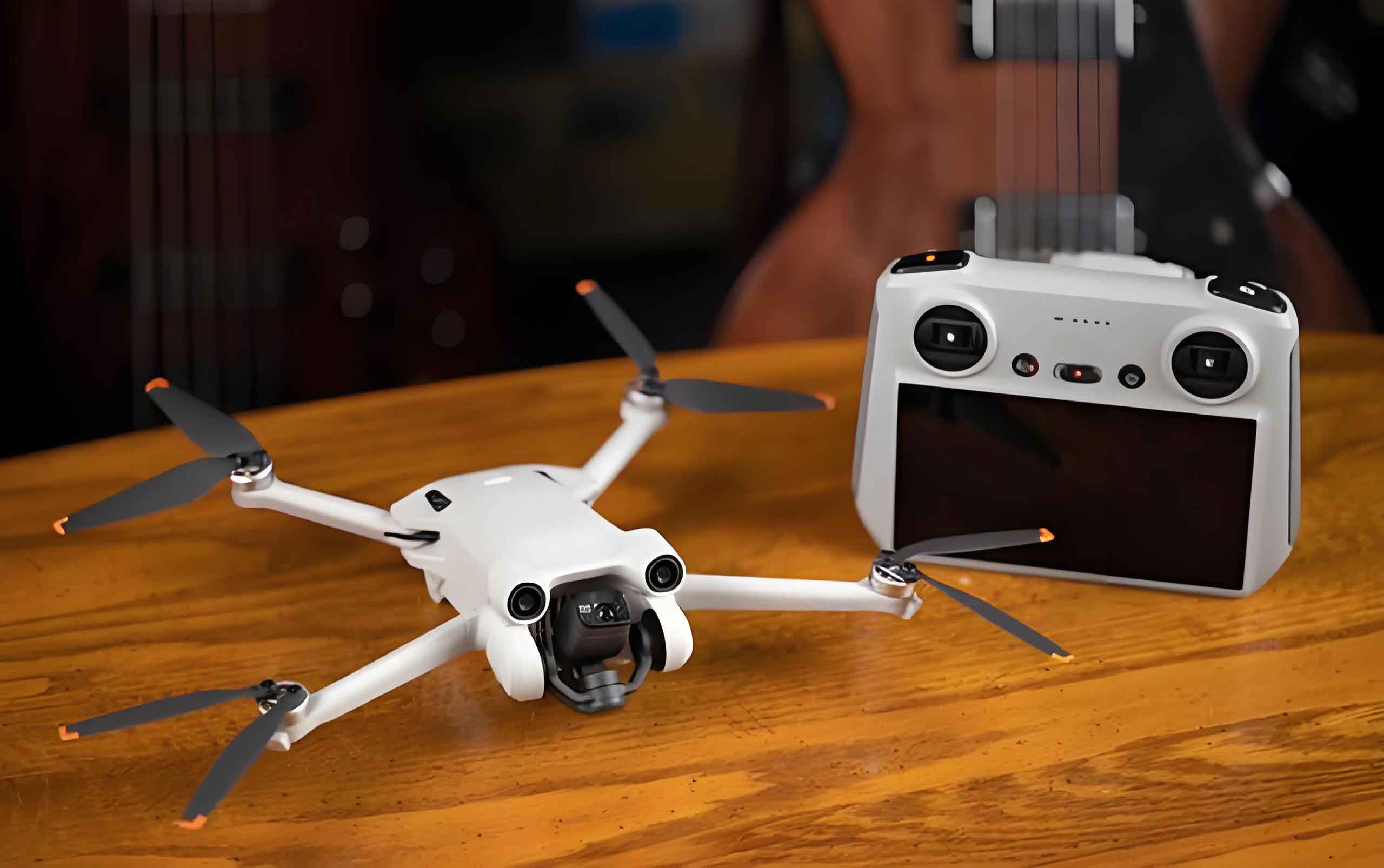
The study area is Dongbaicheng Yongjia Tiandi in Minhou County, Fuzhou City, China. This area is a new commercial complex integrating business districts, residential areas, and transportation hubs. It exhibits a wide brightness range and diverse lighting environments, providing ideal conditions for evaluating drone technology nighttime imaging quality. Data were collected between 21:00 and 21:30 on January 7, 2025, under clear weather conditions, using a DJI Phantom 4 RTK quadcopter consumer drone equipped with a 20-megapixel RGB sensor (equivalent focal length 35 mm, field of view 84°).
2.2 Experimental Design
2.2.1 Camera Shooting Parameters
Based on the literature, we selected ISO values of 100, 200, 400, 800, 1600, and 3200. Exposure times were set to 1/2 s, 1/8 s, 1/12 s, and 1/15 s. Aperture was fixed at f/2.8 (maximum). This resulted in 24 parameter combinations (Table 1).
| Exp. No. | ISO | Exposure Time (s) | Exp. No. | ISO | Exposure Time (s) |
|---|---|---|---|---|---|
| 1 | 100 | 1/2 | 13 | 100 | 1/12 |
| 2 | 200 | 1/2 | 14 | 200 | 1/12 |
| 3 | 400 | 1/2 | 15 | 400 | 1/12 |
| 4 | 800 | 1/2 | 16 | 800 | 1/12 |
| 5 | 1600 | 1/2 | 17 | 1600 | 1/12 |
| 6 | 3200 | 1/2 | 18 | 3200 | 1/12 |
| 7 | 100 | 1/8 | 19 | 100 | 1/15 |
| 8 | 200 | 1/8 | 20 | 200 | 1/15 |
| 9 | 400 | 1/8 | 21 | 400 | 1/15 |
| 10 | 800 | 1/8 | 22 | 800 | 1/15 |
| 11 | 1600 | 1/8 | 23 | 1600 | 1/15 |
| 12 | 3200 | 1/8 | 24 | 3200 | 1/15 |
2.2.2 Flight Altitude
Seven flight altitudes from 200 m to 500 m at 50 m intervals were tested, corresponding to ground sampling distances (GSD) from 5.48 to 13.70 cm/pixel.
2.2.3 Tilt Angle
Thirteen tilt angles from 0° to 60° at 5° intervals were used to evaluate geometric distortion and brightness variations.
2.3 Image Quality Assessment: BRISQUE Algorithm
Since no reference images are available, we adopted the Blind/Referenceless Image Spatial Quality Evaluator (BRISQUE), a no-reference image quality assessment algorithm. BRISQUE extracts natural scene statistics (NSS) features from images by calculating Mean Subtracted Contrast Normalized (MSCN) coefficients:
$$
\mathrm{MSCN}(i,j) = \frac{I(i,j) – \mu(i,j)}{\sigma(i,j) + C}
$$
where \(I(i,j)\) is the pixel intensity at coordinate \((i,j)\), \(\mu(i,j)\) and \(\sigma(i,j)\) are local mean and standard deviation, and \(C\) is a constant (typically 1). The MSCN coefficients are then fitted to a generalized Gaussian distribution (GGD) to extract shape and variance parameters. Additionally, paired products of MSCN coefficients along four directions (horizontal, vertical, main diagonal, secondary diagonal) are fitted to an asymmetric generalized Gaussian distribution (AGGD) to capture spatial correlation features. Features are extracted at both original and 2x downscaled scales, totaling 36 features, which are fed into a support vector regression (SVR) model to predict a quality score. Lower BRISQUE scores indicate better image quality.
2.4 Image Distortion Quantification
To quantify geometric distortion caused by tilt angle, we selected two types of streetlight bases as reference objects. For each tilt angle, we measured the area of the base in the near-field and far-field of the image. Distortion ratio D is defined as:
$$
D = \left(1 – \frac{A_{\mathrm{far}}}{A_{\mathrm{near}}}\right) \times 100\%
$$
where \(A_{\mathrm{far}}\) is the area of the far-field base, and \(A_{\mathrm{near}}\) is the area of the near-field base.
3. Results and Discussion
3.1 Impact of Camera Shooting Parameters on Nighttime Imaging Quality
3.1.1 Exposure Time
Shorter exposure times (e.g., 1/15 s) resulted in underexposed images with loss of dark detail but preserved highlight morphology. Moderate exposure (1/8 s) improved dark detail but introduced slight overexposure in bright areas. Long exposure (1/2 s) significantly enhanced detail in shadows but caused severe blooming and loss of detail in bright regions. Additionally, longer exposure times caused motion blur for moving objects such as vehicles, while shorter exposure effectively froze motion.
3.1.2 ISO Sensitivity
Below ISO 400, images were too dark to distinguish most ground features. At ISO 800, brightness increased significantly, with improved detail in roads and buildings, though some highlights began to saturate. At ISO 3200, excessive noise and color distortion appeared, reducing overall image quality.
3.1.3 Optimal Combination
The BRISQUE scores for the 24 parameter combinations showed a U-shaped trend with ISO. For each exposure time, the lowest scores were observed in the ISO 400–800 range. Figure summarizing the results is as follows: The combination ISO 800 and exposure time 1/15 s achieved the lowest BRISQUE score of 13.36, indicating optimal balance among noise, brightness, and sharpness.
| ISO | Exposure Time (s) | BRISQUE Score |
|---|---|---|
| 100 | 1/2 | 24.26 |
| 200 | 1/2 | 14.20 |
| 400 | 1/2 | 13.85 |
| 800 | 1/2 | 25.97 |
| 1600 | 1/2 | 40.12 |
| 3200 | 1/2 | 52.30 |
| 100 | 1/8 | 28.45 |
| 200 | 1/8 | 18.65 |
| 400 | 1/8 | 15.22 |
| 800 | 1/8 | 14.10 |
| 1600 | 1/8 | 22.50 |
| 3200 | 1/8 | 38.40 |
| 100 | 1/12 | 32.50 |
| 200 | 1/12 | 22.30 |
| 400 | 1/12 | 16.80 |
| 800 | 1/12 | 14.50 |
| 1600 | 1/12 | 18.20 |
| 3200 | 1/12 | 28.10 |
| 100 | 1/15 | 36.37 |
| 200 | 1/15 | 26.31 |
| 400 | 1/15 | 18.50 |
| 800 | 1/15 | 13.36 |
| 1600 | 1/15 | 15.80 |
| 3200 | 1/15 | 23.40 |
3.2 Impact of Flight Altitude on Nighttime Imaging Quality
Using the optimal camera settings (ISO 800, 1/15 s), images were captured at seven altitudes from 200 m to 500 m. BRISQUE scores remained stable, ranging from 11.30 to 12.02, indicating minimal influence of altitude on image quality within this range. The slight variation suggests that drone technology can maintain consistent imaging quality across typical operational altitudes.
3.3 Impact of Tilt Angle on Nighttime Imaging Quality
3.3.1 Geometric Distortion
As tilt angle increased from 0° to 60°, the distortion ratio increased linearly (R² > 0.996). At 0°, distortion was 0%. At 25°, average distortion reached about 30%. At 60°, distortion exceeded 70%, causing significant perspective compression of far-field objects.
3.3.2 Brightness Variation
In the commercial district, average brightness increased from 16.05 at 0° tilt to 54.40 at 60° tilt, more than threefold. This is because a larger tilt angle captures more facade lighting information. However, occlusion effects also occur: at larger tilt angles, the camera may miss ground-level light sources behind buildings, causing brightness underestimation in certain regions.
4. Conclusions
This study systematically evaluated the effects of camera parameters, flight altitude, and tilt angle on nighttime imaging quality in drone technology. Key conclusions are as follows:
- The optimal camera settings for drone technology nighttime imaging are ISO 800 and exposure time 1/15 s, achieving a BRISQUE score of 13.36. This combination effectively balances noise, motion blur, and brightness.
- Flight altitude between 200 m and 500 m has minimal impact on image quality, demonstrating the robustness of drone technology across typical operational heights.
- Tilt angle significantly affects both geometric distortion and brightness. Distortion increases linearly with tilt angle. While larger tilt angles enhance facade lighting capture, they also introduce occlusion that may reduce recorded brightness in some areas.
These findings provide a theoretical foundation and practical reference for optimizing drone technology in nocturnal remote sensing applications. Future work should develop nighttime-specific image quality metrics and test drone technology with different sensors and in diverse urban lighting environments.