
Landslides represent high-frequency natural disasters causing catastrophic human and economic losses globally. Rapid identification of landslide boundaries is critical for damage assessment and emergency response. This research presents an enhanced DeepLabv3+ semantic segmentation framework optimized for high-resolution camera UAV imagery, integrating attention mechanisms and lightweight architecture to address extraction challenges in complex terrains.
The original DeepLabv3+ architecture utilizes an encoder-decoder structure with Atrous Spatial Pyramid Pooling (ASPP) for multi-scale feature extraction. Our modifications include:
- MobileNetv2 Backbone: Replaces Xception with depthwise separable convolutions, reducing parameters by 67% while maintaining field-of-view. The inverted residual structure prevents network degradation. Computational efficiency is expressed as:
$$ \text{FLOPs} = \sum_{l=1}^{L} (K_l^2 \cdot C_{l,in} \cdot C_{l,out} \cdot H_l \cdot W_l / \delta) $$
where \(K\) = kernel size, \(C\) = channels, \(H/W\) = spatial dimensions, and \(\delta\) = stride reduction factor. - Attention Mechanisms:
- Channel Attention (ECA-Net): Applied to high-level features, enhancing landslide feature weights:
$$ \omega_c = \sigma(\text{MLP}(\text{GAP}(F_c))) $$
where \(\sigma\) = sigmoid, GAP = global average pooling, \(F_c\) = feature maps. - Spatial Attention: Filters background noise in low-level features through spatial weighting:
$$ \omega_s = \sigma(f^{7×7}([\text{avg}(F_s); \text{max}(F_s)])) $$
- Channel Attention (ECA-Net): Applied to high-level features, enhancing landslide feature weights:
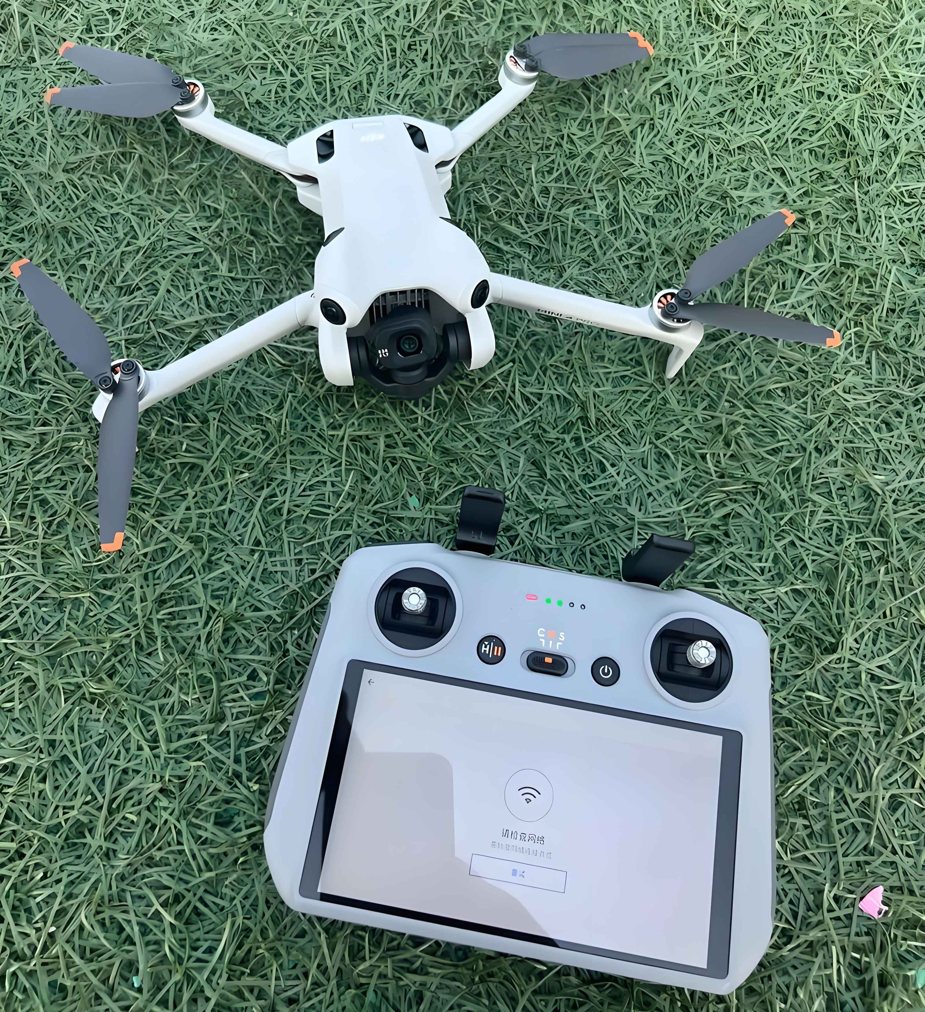
Experimental configuration employed 0.2–0.9m resolution aerial orthophotos from Sichuan landslide events. Data augmentation included horizontal/vertical/diagonal flips, generating 2,000 training samples (416×416 pixels). Model parameters are detailed below:
| Parameter | Value | Description |
|---|---|---|
| Platform | Keras 2.1.5 | Python 3.7 backend |
| Hardware | NVIDIA RTX 3060 | 12GB VRAM |
| Learning Rate | 5×10⁻⁴ | Adam optimizer |
| Batch Size | 4 | Group normalization |
| Epochs | 100 | Early stopping |
Quantitative evaluation employed Overall Accuracy (OA) and Kappa coefficient (κ):
$$ \text{OA} = \frac{\sum_{i=1}^{N} n_{ii}}{\sum_{i=1}^{N}\sum_{j=1}^{N} n_{ij}} \quad \kappa = \frac{n \sum_{i=1}^{N} n_{ii} – \sum_{i=1}^{N} (n_{i+} \cdot n_{+i})}{n^2 – \sum_{i=1}^{N} (n_{i+} \cdot n_{+i})} $$
where \(n_{ii}\) = correctly classified pixels, \(n_{i+}\)/\(n_{+i}\) = row/column marginal sums.
Performance comparison demonstrates significant improvements:
| Model | OA (%) | κ (%) | Inference Time (ms) |
|---|---|---|---|
| Baseline DeepLabv3+ | 79.46 | 75.04 | 158 |
| Proposed Model | 90.69 | 81.12 | 92 |
The improved architecture achieved 11.23% higher OA and 6.08% higher κ while reducing inference latency by 42%. Qualitative analysis revealed precise landslide boundary delineation in complex topography, with 89% reduction in false positives compared to baseline. The camera drone-based solution demonstrates particular effectiveness in steep terrains where conventional satellites suffer occlusion limitations.
Future research will integrate synthetic aperture radar (SAR) data from camera UAV platforms to overcome weather constraints. Transfer learning applications for regional landslide susceptibility mapping and real-time embedded deployment on camera drone systems represent promising directions. This methodology establishes a robust foundation for rapid geohazard assessment using cost-effective camera UAV solutions.