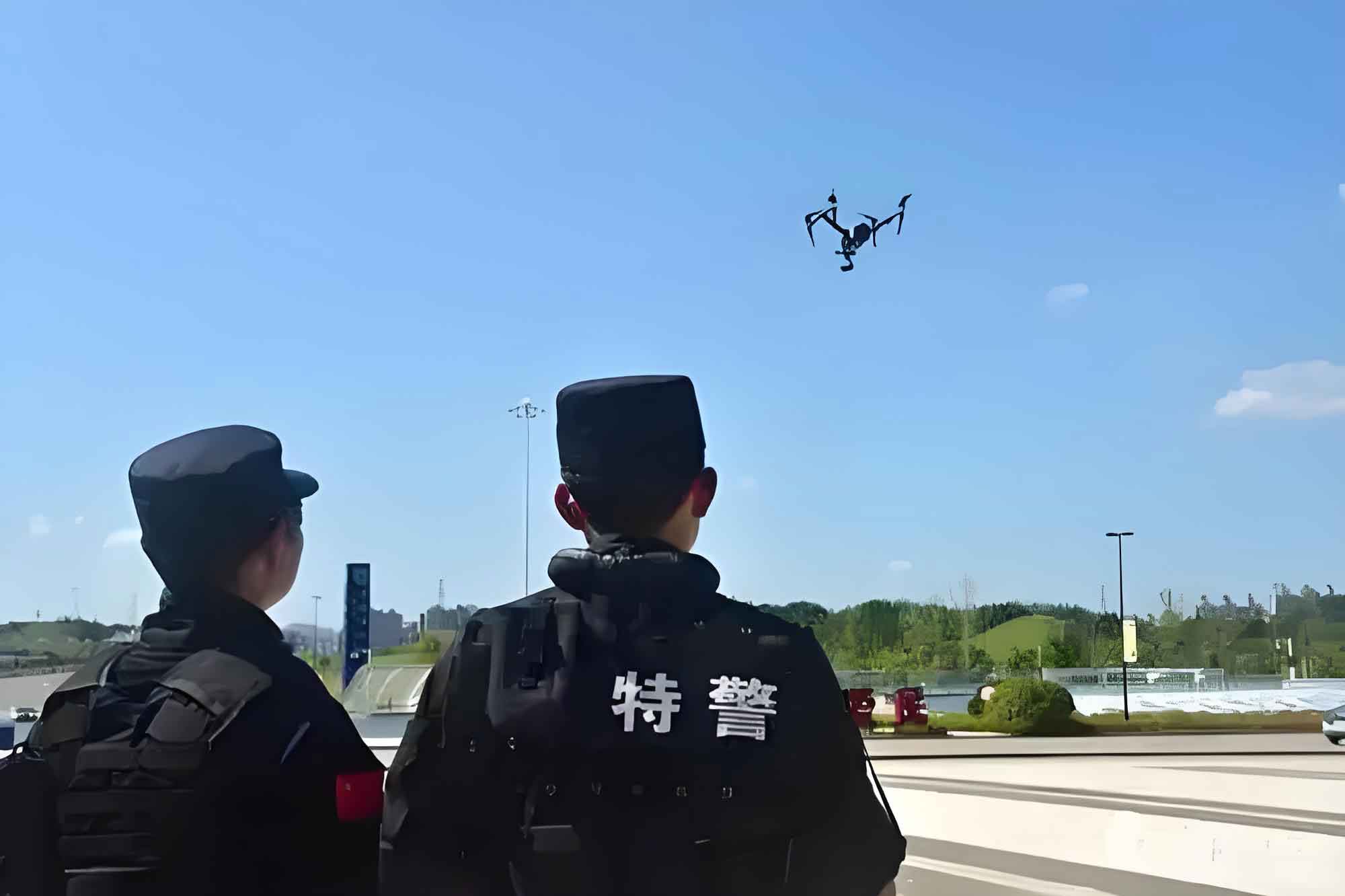
The integration of Unmanned Aerial Vehicles (UAVs) into law enforcement, commonly termed police drones, represents a paradigm shift in public safety operations. From my perspective as a researcher and practitioner in the field, the evolution from simple remote-controlled aircraft to sophisticated, sensor-laden platforms has been rapid. A modern police drone is no longer just an “eye in the sky”; it is a node in a complex network for data acquisition, real-time analysis, and coordinated response. The core value proposition lies in its ability to transcend terrestrial limitations, providing persistent, scalable, and immediate situational awareness over large, complex, or hazardous environments. This article delves into the current technological integration, data workflow, operational frameworks, and persistent challenges, arguing that the future of police drone efficacy hinges on moving beyond isolated hardware deployment towards deeply integrated, data-centric command systems.
The operational advantage of a police drone stems from a synergy of mobility, sensor payload, and data-link capabilities. The fundamental equation governing its effective operational radius is not merely a function of battery life, but a complex interplay of factors:
$$
\text{Effective Operational Range} = \min\left( R_{\text{comm}}(P_t, G, \lambda), \quad \frac{E_{\text{batt}} \cdot \eta}{P_{\text{hov}} + P_{\text{sensors}} + P_{\text{data}}} \cdot v_{\text{patrol}} \right)
$$
where \( R_{\text{comm}} \) is the reliable communication range dependent on transmit power \(P_t\), antenna gain \(G\), and wavelength \(\lambda\); \(E_{\text{batt}}\) is battery energy; \(\eta\) is powertrain efficiency; \(P_{\text{hov}}, P_{\text{sensors}}, P_{\text{data}}\) are power draws for hovering, sensors, and data transmission; and \(v_{\text{patrol}}\) is patrol speed. This highlights that a police drone‘s utility is bounded by its weakest subsystem—be it communications, endurance, or processing power.
System Integration and Functional Payloads
The true potential of a police drone is unlocked through the seamless integration of specialized payloads with the aerial platform and, crucially, with ground-based command and control (C2) infrastructure. The functional capabilities are modular, allowing a single drone frame to serve multiple roles based on mission requirements. The following table categorizes the core functional modules, their technological basis, and operational implications.
| Functional Module | Core Technology / Payload | Operational Advantage & Application |
|---|---|---|
| Aerial Imaging & Mapping | High-resolution EO/IR gimbaled cameras, Photogrammetry software, LiDAR. | Provides real-time HD/4K video feed for surveillance. Enables creation of orthomosaics and 3D point clouds for crime/accident scene reconstruction, terrain mapping. Essential for pre-operational planning and post-event analysis. |
| Persistent Surveillance & Tracking | Computer Vision (CV) algorithms, Auto-tracking gimbals, Thermal imaging. | Allows automatic tracking of persons/vehicles of interest. Thermal sensors enable night operations and detection through obscurants. Reduces operator cognitive load and ensures continuous target observation. |
| Communication Relay & Public Address | Dual-band transceivers, Mesh networking nodes, High-power directional loudspeakers. | Extends the range of ground team radios in difficult terrain (urban canyons, forests). Provides airborne public address for crowd control, evacuation instructions, or negotiation in barricade situations. |
| Targeted Delivery & Intervention | Precision drop mechanisms, Payload bays for non-lethal munitions, life-saving equipment. | Enables delivery of medical supplies (e.g., AEDs, naloxone), communication devices, or chemical irritants with high spatial accuracy. Can be used for tactical deployments in high-risk scenarios. |
| Integrated Sensor Fusion | Multi-spectral sensors (Visual, Thermal, LiDAR), Gas detectors, Radiation sensors. | Provides a composite environmental picture. Can detect chemical leaks, radiation sources, or hidden heat signatures (e.g., indoor cannabis cultivation), offering intelligence beyond visual spectrum. |
The integration challenge lies in making these modules interoperable. A police drone used for search and rescue (SAR) might need to simultaneously run thermal imaging, broadcast a reassurance message via its loudspeaker, and relay its live feed via a mesh network to ground teams—all while conserving battery. This requires a robust onboard computing architecture and a low-latency, secure data link.
The Data Pipeline: From Acquisition to Actionable Intelligence
The raw video feed from a police drone is merely data. Its transformation into “actionable intelligence” is the critical workflow that defines modern tactical efficacy. This pipeline can be modeled as a multi-stage process with inherent latencies and bandwidth requirements.
1. Data Acquisition & Edge Processing: The drone’s sensors collect vast amounts of data. Onboard edge computing is now used for preliminary processing—such as stabilizing video, compressing data streams, or running initial object detection algorithms to tag potential items of interest (e.g., “vehicle,” “person”). This reduces the bandwidth needed for transmission. The data generation rate \( D_{\text{gen}} \) for a sensor suite can be approximated as:
$$
D_{\text{gen}} = \sum_{i} (R_{i} \times B_{i})
$$
where \( R_{i} \) is the sampling rate (e.g., frames per second for video) and \( B_{i} \) is the bit depth per sample for the \(i\)-th sensor.
2. Secure Transmission: Data is transmitted via encrypted RF links (e.g., LTE/5G, dedicated COFDM) to a mobile ground control station (GCS) and/or a central command center. The link must be robust against jamming and interception. The effective throughput \( T_{\text{eff}} \) is a bottleneck:
$$
T_{\text{eff}} = B \cdot \log_2\left(1 + \frac{S}{N}\right) \cdot (1 – \text{BER})
$$
where \(B\) is bandwidth, \(S/N\) is signal-to-noise ratio, and BER is bit error rate. Fading and interference in urban environments significantly impact this.
3. Data Fusion & Analytics: At the command center, the drone’s data stream is fused with other sources: fixed CCTV, GPS tracks of patrol units, CAD (Computer-Aided Dispatch) data, and records databases. Analytics platforms apply more sophisticated CV algorithms—facial recognition (where legally permitted), license plate recognition (ALPR), anomaly detection in crowds, or change detection over time in a specific area.
4. Decision Support & Dissemination: Processed intelligence is visualized on geospatial maps (GIS) in the command center. The key is low-latency dissemination back to field commanders and officers on the ground, often via handheld tablets. This creates a “common operational picture.” The decision cycle time, from a police drone observing an event to an officer receiving guidance, is the ultimate metric of system effectiveness.
Standardized Operational Frameworks (SOPs)
Effective use of a police drone requires standardized operating procedures tailored to specific scenarios. These frameworks define flight patterns, sensor usage, communication protocols, and rules of engagement.
1. Large-Scale Event Security & Crowd Monitoring:
Drones are deployed for wide-area persistent surveillance. A common tactic is the “orbiter” pattern, where a drone circles the periphery at high altitude, providing a overall view, while a second, smaller drone operates closer to potential hotspots. CV algorithms can estimate crowd density \( \rho \) in people per square meter and detect unusual motion vectors that might indicate a stampede or agitation:
$$
\rho(x,y,t) = \frac{N_{\text{detected}}(x,y,t)}{A_{\text{pixel}} \cdot \text{scale}^2}
$$
Alerts are generated when \( \rho \) exceeds a safety threshold or when flow vectors become chaotic.
2. Tactical Response & Armed Fugitive Searches:
Here, the police drone acts as a stealthy forward observer. Thermal imaging is critical. Drones follow a “leapfrog” pattern, where one drone observes from a concealed position as tactical teams advance, minimizing exposure. The drone provides real-time floor plans via quick 3D scans of buildings and tracks fugitive movement, feeding data directly to the team’s helmet-mounted displays. The probability of detection \(P_d\) by the drone’s thermal sensor can be modeled using the Johnson’s criteria and contrast between target and background:
$$
P_d \propto \frac{\Delta T \cdot \sqrt{A_{\text{target}}}}{ \text{NETD} \cdot \text{MIFOV} }
$$
where \(\Delta T\) is temperature difference, \(A_{\text{target}}\) is target area, NETD is Noise Equivalent Temperature Difference of the sensor, and MIFOV is its instantaneous field of view.
3. Traffic Incident Management & Forensic Mapping:
Upon a major accident, a police drone can be on scene in minutes to perform a comprehensive aerial survey. It executes an automated nadir (straight-down) grid pattern with high overlap to capture every detail. Photogrammetry software then processes hundreds of images to generate a millimeter-accurate 3D model of the scene. This allows investigators to take measurements (skid marks, vehicle positions, debris fields) digitally long after the scene is cleared, reducing road closure time dramatically. The required image overlap \(O\) (as a percentage) for successful 3D reconstruction is given by:
$$
O = \left(1 – \frac{s \cdot (1-\text{side lap})}{f \cdot \text{GSD}} \right) \times 100\%
$$
where \(s\) is distance between camera positions, side lap is the lateral overlap, \(f\) is focal length, and GSD is Ground Sampling Distance (pixel size on ground).
4. Search and Rescue (SAR) Operations:
In wilderness SAR, drones equipped with thermal cameras cover large areas efficiently. An optimal search pattern, such as an expanding square or parallel track, is pre-programmed based on the Last Known Position (LKP). The effective sweep width \(W\) of the thermal sensor depends on altitude \(h\) and environmental conditions:
$$
W \approx 2h \cdot \tan\left(\frac{\text{FOV}}{2}\right) \cdot f_{\text{env}}
$$
where FOV is the sensor field of view and \(f_{\text{env}}\) is an environmental factor (less than 1) accounting for vegetation cover and weather. The drone’s live feed is monitored by analysts trained to distinguish between human heat signatures and animals or hot rocks.
Persistent Challenges and the Path Forward
Despite rapid advancement, significant hurdles remain that prevent the full integration and optimal utilization of police drone technology.
1. Systemic Integration Gap: The most pressing issue is the “bolt-on” nature of many drone programs. The police drone and its video feed often exist on a separate console, not integrated into the primary CAD and records management systems. This creates operational friction. The solution lies in adopting open API (Application Programming Interface) standards for drones and C2 software, allowing drone-derived data (telemetry, video alerts) to populate the same common operating picture used for all other assets.
2. Data Overload and Analytical Latency: A single drone can generate terabytes of data on a long mission. Without automated analytics, human operators suffer from fatigue and may miss critical events. The future requires more investment in AI-driven analytics that can run both on the drone (at the edge) and in the cloud, flagging only relevant anomalies for human review, thus acting as a force multiplier for analysts.
3. Training and Proficiency Standardization: Operating a police drone is more than just piloting; it involves mission planning, sensor operation, data management, and legal compliance. Training is often vendor-specific and inconsistent. There is a critical need for nationally recognized, scenario-based certification standards that cover not just flight skills, but also forensic mapping protocols, privacy law, and tactical deployment in conjunction with ground units.
4. The “Island” Effect and Interoperability: Agencies often purchase different drone models from various manufacturers, leading to fleets that cannot share spare parts, batteries, or—most importantly—data links and control software. This makes joint operations between agencies difficult. A move towards modular, standards-based platforms (similar to the concept of standardized radio protocols like P25) would alleviate this. Inter-agency data sharing agreements and technical protocols are equally necessary to break down intelligence silos.
5. Airspace Management and Scalability: As the number of police drones in the sky increases, especially in urban environments, managing deconfliction becomes crucial. Integration with FAA’s UTM (Unmanned Traffic Management) systems is essential for beyond visual line of sight (BVLOS) operations, which are key to scalability. This requires drones with robust Detect-and-Avoid (DAA) technology and digital identification (Remote ID).
In conclusion, the police drone has irrevocably altered the tactical landscape of law enforcement. Its current state is one of powerful but often isolated capability. The trajectory forward is clear: the value of a police drone will be exponentially greater not as a standalone tool, but as an intelligent, connected node in a fully integrated data ecosystem. The focus must shift from acquiring more drones to building the data infrastructure, analytical backbone, and standardized procedures that allow these aerial assets to seamlessly feed real-time, processed intelligence into the decision-making loops of commanders and officers on the ground. Overcoming the challenges of integration, interoperability, and data analytics is the next frontier in harnessing the complete potential of unmanned systems for public safety.