Before the advent of multi-rotor camera drones and gimbals, aerial photography was an exclusive domain reserved for high-budget productions using helicopters or specialized aircraft. Today, these compact marvels democratize aerial imaging, transforming family vacations and amateur projects with cinematic perspectives once inaccessible without six-figure investments.
Camera Drone Selection Strategies
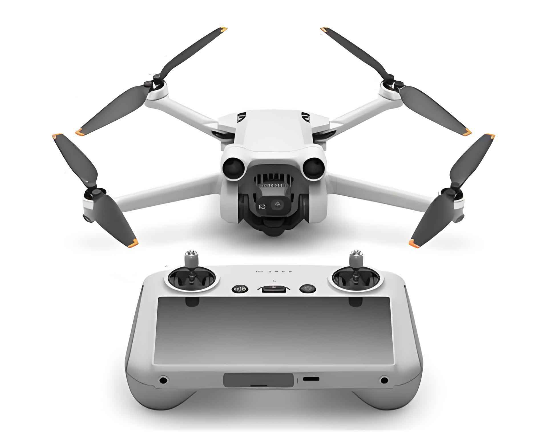
Modern camera UAVs serve dual roles: professional filmmaking tools and recreational gadgets. Key selection criteria include rotor configuration, payload capacity, and sensor quality. Professional models handle heavy cinema cameras, while consumer units offer surprising capabilities at accessible price points.
| Camera Drone Class | Payload Capacity | Typical Camera Systems | Resolution | Price Range |
|---|---|---|---|---|
| Professional UAV | 1.5-5kg | DSLR/Mirrorless (e.g., 5D3/GH4) | 4K+/RAW | $5,000-$20,000 |
| Prosumer Camera Drone | 0.3-1kg | Integrated 1″-4/3″ Sensors | 4K | $1,000-$3,000 |
| Consumer Camera UAV | <0.3kg | Fixed Lens Systems | 1080p-4K | $300-$800 |
Payload-stability dynamics follow fundamental physics. The gimbal’s angular momentum ($L$) must counteract turbulent forces ($F_t$):
$$ L = I \omega $$
$$ F_t = m \cdot a_{turb} $$
where $I$ = gimbal inertia, $\omega$ = angular velocity, $m$ = camera mass, and $a_{turb}$ = turbulence acceleration. Professional camera drones achieve stability through increased $I$ values via heavier construction.
Core Flight Control Systems
Every camera UAV operates through three primary flight modes, each with distinct stabilization methodologies:
| Flight Mode | Stability Mechanism | Position Hold | Wind Tolerance | Use Case Frequency |
|---|---|---|---|---|
| Manual | Pilot skill only | None | Low | <5% (aerobatics) |
| Attitude (ATTI) | Gyro/accelerometer | Drift occurs | Medium | 15-20% |
| GPS | Satellite positioning | Precise | High | 75-80% |
GPS stabilization relies on triangulation algorithms. Positional accuracy ($A_p$) depends on visible satellites ($n$) and signal quality ($Q_s$):
$$ A_p = k \cdot \frac{1}{\sqrt{n}} \cdot Q_s $$
where $k$ represents the camera drone’s GNSS receiver constant. Most consumer camera UAVs require $n\geq6$ for reliable hover.
Intelligent Automation Features
Modern camera drones incorporate autonomous protocols that activate exclusively in GPS mode:
- Course Lock: Maintains heading relative to takeoff point
- Home Lock: Orients controls relative to home position
- Smart RTH: Automated return triggered manually or by signal loss
- Battery Failsafe: Calculates return power $P_r$ based on distance $d$ and wind $w$:
$$ P_r = \frac{d \cdot c_d}{v} + \frac{w \cdot c_w}{v^2} $$
where $c_d$ = drag coefficient, $c_w$ = wind resistance factor, and $v$ = camera UAV velocity. These safeguards make aerial imaging remarkably accessible.
Operational Protocols for Camera UAVs
Systematic pre-flight procedures separate successful operators from statistical casualties. Essential checks follow this workflow:
| Check Phase | Critical Items | Failure Probability Reduction |
|---|---|---|
| Structural | Propeller fasteners, motor mounts, gimbal balls | 42% |
| Power System | Voltage consistency, cell balance, contact integrity | 37% |
| Calibration | Compass deviation, IMU alignment | 28% |
| Signal Validation | GPS satellites, RC link, video transmission | 33% |
Battery Management Mathematics
Lithium-polymer degradation follows predictable capacity fade ($C_f$) after $n$ cycles:
$$ C_f = C_0 \cdot e^{-k \cdot n} $$
where $C_0$ = initial capacity, $k$ = usage factor (typically 0.002-0.005). Flight time ($T$) decreases proportionally:
$$ T = T_0 \cdot \frac{C}{C_0} – \frac{w}{C} \cdot d^2 $$
where $w$ = wind coefficient, $d$ = distance from home. Smart camera drones continuously compute remaining operational windows using these parameters.
Environmental Operational Calculus
Location selection involves electromagnetic and physical risk assessment. Signal interference risk ($R_i$) scales with transmitter density ($\rho_t$) and frequency overlap ($f_o$):
$$ R_i = \int_{0}^{d_{max}} \rho_t \cdot f_o \cdot e^{-\lambda d} dd $$
where $\lambda$ = signal attenuation constant. Physical hazards require maintaining minimum clearance distance ($d_{min}$) from obstacles:
$$ d_{min} = v_{max} \cdot t_r + 3\sigma $$
with $v_{max}$ = maximum camera drone speed, $t_r$ = human reaction time (≈1.2s), and $\sigma$ = position uncertainty.
The camera drone revolution transforms creative expression through intelligent automation. By mastering these technical principles, operators unlock unprecedented visual storytelling capabilities while maintaining rigorous safety standards. As these systems evolve, their imaging potential expands exponentially – a skyborne renaissance accessible to all.