From my perspective as an industry observer and participant, the trajectory of unmanned aerial vehicle (UAV) technology represents one of the most compelling narratives of 21st-century technological fusion. The transition of these systems from exclusive military domains to vibrant civilian markets epitomizes a classic pattern of dual-use technology diffusion, similar to the paths of GPS and satellite communications. The civilian UAV sector has evolved from a niche curiosity to a dynamic, global industry poised to reshape numerous aspects of our economy and daily life. Its core value proposition—performing dull, dangerous, or dirty (“3D”) tasks with superior efficiency, flexibility, and safety—has unlocked a wave of innovation across sectors. In this extensive analysis, I will delve into the technical classifications, the global industrial landscape, the critical challenges impeding full integration, and particularly the transformative, synergistic applications emerging within the network and communication sphere.
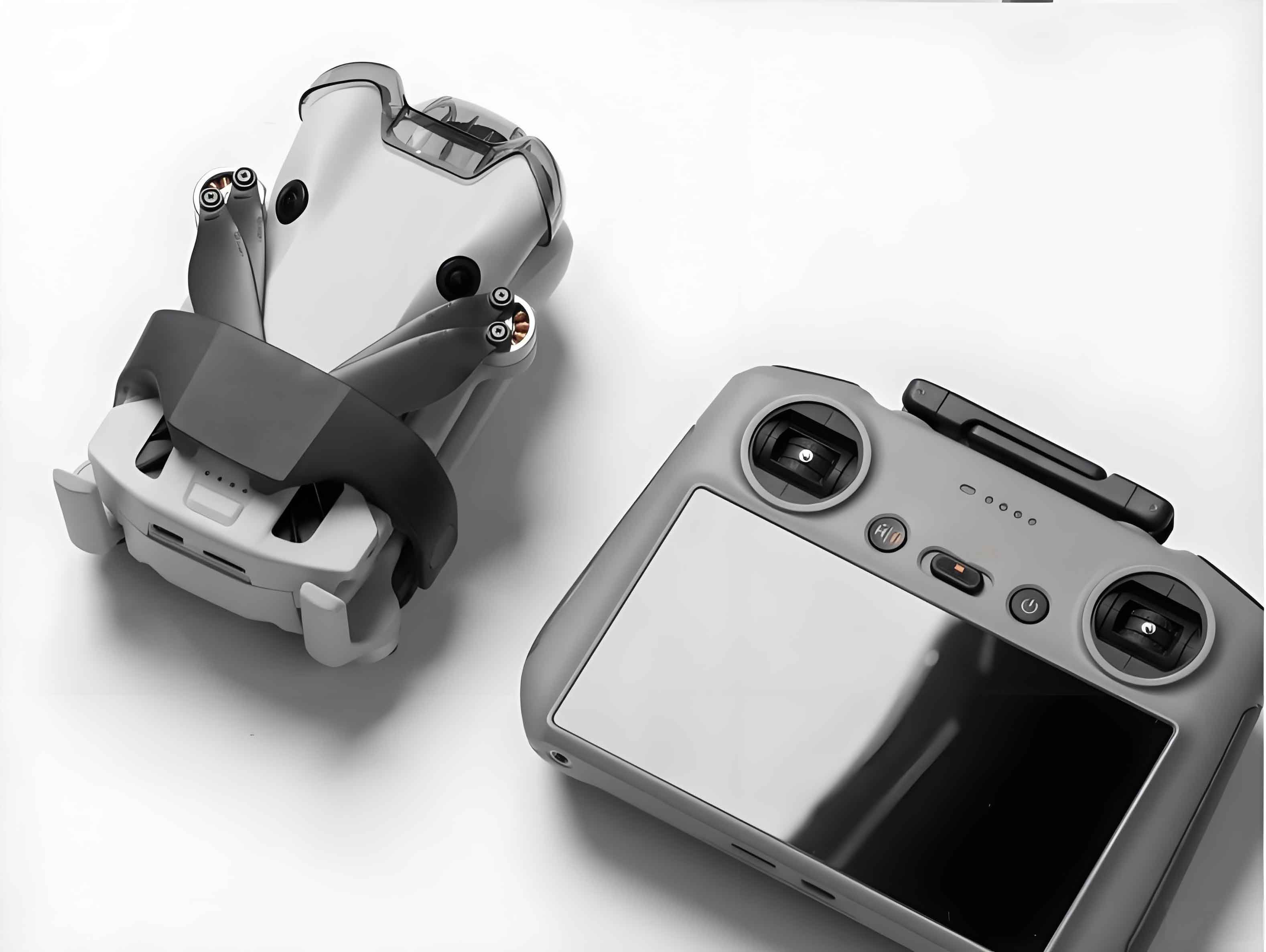
The fundamental appeal of civilian UAV systems lies in their architecture and inherent capabilities. A typical UAV system is a complex integration of three core segments: the aerial platform (airframe, flight control, navigation, propulsion, and data link), the payload (sensors, cameras, or specialized equipment tailored to the mission), and the ground control station (the interface for human operators). This modularity allows civilian UAVs to be adapted for an astonishingly wide range of applications. We can categorize them meaningfully by both application and technical configuration.
By application, the market splits into two primary branches: consumer-grade civilian UAVs, focused on recreation and personal aerial photography, and industrial- or commercial-grade civilian UAVs, designed for professional tasks requiring higher reliability, endurance, and payload capacity. The technical taxonomy is more instructive for understanding capabilities:
| Platform Type | Key Technical Characteristics | Typical Roles for Civilian UAVs | Performance Trade-offs |
|---|---|---|---|
| Fixed-Wing | Aerodynamic lift from wings; requires runway or launcher. | Large-scale mapping, linear infrastructure inspection (pipelines, power lines), long-range surveillance. | High: Endurance, speed, range, payload. Low: Hover capability, VTOL. |
| Multi-Rotor | Lift and control via multiple rotors; Vertical Take-Off and Landing (VTOL). | Close-range inspection, precision agriculture spraying, aerial photography, emergency response. | High: Hover stability, VTOL, maneuverability. Low: Endurance, speed, payload. |
| Unmanned Helicopter | Single main rotor with tail rotor; VTOL and agile flight. | Heavy-lift operations, long-endurance surveillance requiring hover, magnetometry surveys. | Balanced performance: Good endurance & payload, full VTOL & hover. Higher mechanical complexity. |
| Hybrid & Special Configurations (e.g., Tilt-rotor, VTOL Fixed-Wing) | Combine features of fixed-wing and rotary-wing systems. | Operations requiring both long transit and precise station-keeping (e.g., offshore monitoring). | Seeks to optimize the trade-off: Moderate endurance with VTOL capability. |
The performance of a civilian UAV, especially its endurance, is often a primary constraint. A simplified model for electric multi-rotor flight time ($T$) highlights this:
$$
T \approx \frac{C \cdot V \cdot \eta}{P}
$$
Where $C$ is battery capacity (Ah), $V$ is nominal voltage (V), $\eta$ is overall powertrain efficiency, and $P$ is average power draw (W). This shows why advancements in battery energy density and motor efficiency are so critical for the civilian UAV sector.
The global landscape for civilian UAV development is heterogeneous, driven by varying regulatory philosophies, market forces, and historical expertise. In the United States, the pace was historically tempered by cautious regulatory frameworks from the Federal Aviation Administration (FAA). The pivotal Part 107 rule in 2016 established the first comprehensive operational guidelines for small commercial UAVs, catalyzing the market. Research initiatives, like NASA’s Unmanned Aircraft System Traffic Management (UTM) project, aim to develop the “highway rules” for dense, low-altitude civilian UAV operations. Major technology corporations have aggressively entered the space; for instance, projects focused on using high-altitude, long-endurance (HALE) civilian UAVs for bridging the digital divide represent a bold fusion of aerospace and telecommunications ambitions.
Israel, with its deep-rooted defense UAV expertise, has been proactive in adapting military-grade platforms for civilian tasks, obtaining early certifications for systems in non-military airspace. The European Union has taken a notably systematic approach, emphasizing a “risk-based” and “operation-centric” regulatory philosophy through agencies like EASA. Their goal is to safely integrate civilian UAVs into the existing aviation ecosystem, with significant work on “detect and avoid” technologies. In Asia, Japan’s longstanding leadership in agricultural UAVs for crop spraying demonstrates a mature, specialized application, while South Korea has made significant public investments to cultivate a broad-based civilian UAV industry.
The development within my own region has been nothing short of remarkable. Leveraging unparalleled strengths in electronics manufacturing, software development, and a large domestic market, the civilian UAV industry here has achieved global leadership in the consumer segment and is rapidly advancing in industrial applications. Supportive national policies identifying UAVs as strategic high-end equipment, coupled with local industrial cluster strategies, have created a fertile environment. Practical integration is progressing through “UAV +” pilot programs: using civilian UAVs for power grid inspection, maritime monitoring, express logistics in remote areas, and public safety operations. The emergence of approved “UAV cloud” systems for real-time monitoring signifies a sophisticated step towards managing the complexities of widespread civilian UAV deployment.
Despite this explosive growth, the sustainable integration of civilian UAVs into our national airspace faces two interdependent bottlenecks: technological maturity and regulatory/operational framework. The paramount concern is safety and assured control.
On the technological front, key hurdles must be overcome. Reliable “Sense-and-Avoid” (SAA) technology is the holy grail for enabling beyond-visual-line-of-sight (BVLOS) operations, which are essential for scalability. This requires fusing data from sensors like radar, LiDAR, and computer vision. We can model the minimum detection range ($R_{min}$) needed for collision avoidance:
$$
R_{min} = v_{closure} \cdot t_{react} + \frac{v_{closure}^2}{2 \cdot a_{max}}
$$
where $v_{closure}$ is the closing velocity, $t_{react}$ is the system reaction time, and $a_{max}$ is the maximum avoidance acceleration. Furthermore, secure, resilient, and spectrally efficient data links are needed to maintain command, control, and communication (C3). Link margin ($M$) is critical:
$$
M = P_{tx} + G_{tx} + G_{rx} – L_{fs} – L_{other} – RSSI_{min}
$$
where $P_{tx}$ is transmit power, $G$ are antenna gains, $L_{fs}$ is free-space path loss, $L_{other}$ represents other losses, and $RSSI_{min}$ is the receiver’s minimum required signal strength. Breakthroughs in energy sources (e.g., hydrogen fuel cells, hybrid systems) are needed to break the endurance ceiling of battery-powered civilian UAVs. Finally, robust system-level reliability and rigorous, standardized certification processes are required to build public and regulatory trust.
The operational and regulatory challenges are equally complex. They involve defining and safely opening lower-altitude airspace, establishing streamlined flight approval processes, allocating and protecting dedicated radio spectrum, and implementing robust traffic management systems (UTM). These systems must handle fleet coordination, dynamic geofencing (no-fly zones), and contingency management. A parallel need is for effective counter-UAV systems to mitigate malicious or negligent use, ensuring security for critical infrastructure and public spaces.
It is at the intersection of civilian UAV technology and network communications that some of the most transformative applications are materializing. This convergence is bidirectional: communications networks enable advanced UAV operations, and UAVs are becoming dynamic, aerial nodes within those networks.
1. Aerial Network Provisioning: This is perhaps the most visionary application. Civilian UAVs, particularly HALE platforms operating in the stratosphere, are being developed as pseudo-satellites to deliver broadband connectivity to unserved or underserved regions. These platforms aim to create a persistent aerial network layer. Conversely, for emergency response, rapidly deployable UAVs carrying compact, cellular network equipment (e.g., LTE/5G small cells) can establish temporary “pop-up” networks in disaster zones where terrestrial infrastructure is destroyed. The coverage area ($A$) for such an aerial base station at altitude $h$ can be approximated (simplified, ignoring terrain):
$$
A \approx \pi \cdot (h \cdot \tan(\theta))^2
$$
where $\theta$ is the antenna’s half-power beamwidth. This demonstrates how altitude directly expands coverage.
2. Communication Infrastructure Inspection and Support: This is a direct, high-value application. Civilian UAVs are revolutionizing the maintenance and deployment of communication networks. They can autonomously inspect cell towers, capturing high-resolution imagery to identify structural issues, antenna misalignment, or ice buildup. They can map fiber-optic cable routes and inspect for damage. Compared to manual climbs or helicopter surveys, civilian UAVs offer drastic improvements in safety, cost, and data quality. The efficiency gain can be modeled by comparing task times:
$$
Efficiency\ Gain = \frac{T_{manual} – T_{UAV}}{T_{manual}} \times 100\%
$$
where $T_{manual}$ and $T_{UAV}$ are the times for manual and UAV-assisted inspections, respectively, with $T_{UAV}$ often being a fraction of the former.
3. Evolution of Base Station Functionality: The very concept of a cellular base station is being reimagined with civilian UAVs in mind. Research is exploring base stations that not only provide connectivity but also serve as dedicated hubs for UAV operations. These “UAV-aware” towers could offer enhanced positioning signals (for more precise navigation beyond GPS), dedicated low-latency control channels, and even wireless charging pads for automated drone docking and replenishment. This turns the static telecom infrastructure into a dynamic support network for a fleet of civilian UAVs.
| Network & Communication Application | Civilian UAV Platform Type | Key Enabling Technologies | Impact Metric |
|---|---|---|---|
| Rural Broadband Coverage | HALE Fixed-Wing (Solar/Electric) | High-altitude flight, laser/MMW backhaul, lightweight antennas. | Population covered, Data rate delivered (Gbps). |
| Emergency Response Network | VTOL (Multi-rotor/Helicopter) | Rapid deployment, compact LTE/5G payload, satellite backhaul. | Network setup time (mins), Concurrent users supported. |
| Cell Tower Inspection | Multi-rotor with high-res camera & gimbal | Computer vision, autonomous flight planning, obstacle avoidance. | Inspection cost reduction (%), Defect detection accuracy. |
| Wireless Network Testing & Optimization | VTOL or Fixed-Wing | RF scanners, precise geotagging, automated flight patterns. | Network coverage map accuracy, Signal interference identified. |
| Urban Data Backhaul for Smart Cities | Multi-rotor Swarms or Scheduled VTOL | High-bandwidth data links (e.g., 5G), edge computing. | Data collection latency, Spatial data resolution. |
4. Enabling Smart City Services: As cities become smarter, the need for real-time, high-resolution spatial data explodes. Civilian UAVs serve as agile, aerial data-gathering platforms that feed the Internet of Things (IoT) ecosystem. They can monitor traffic flow, assess infrastructure health, manage crowds, and provide situational awareness to first responders—all streaming data via high-speed networks to central analytics platforms. In this model, the civilian UAV acts as a mobile “data pipe” in the sky, integral to the urban communication and sensing fabric.
In conclusion, the civilian UAV industry is at an inflection point, transitioning from early adoption to mainstream integration. The path forward requires concerted efforts to harden technology, craft sensible and scalable regulations, and foster cross-industry collaboration. The synergy with the network and communication sector is particularly potent, offering solutions to longstanding challenges in connectivity and infrastructure management while simultaneously creating new service paradigms. The ongoing evolution of civilian UAV technology is not merely about flying machines; it is about building an intelligent, connected, and responsive aerial layer that will fundamentally enhance how we interact with our world, manage our industries, and connect our communities. The future of this industry lies in its continued convergence with other technological streams, promising a new dimension of efficiency and capability across the global economy.