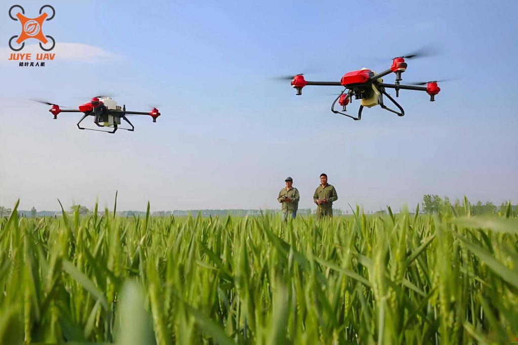
The evolution of modern agriculture is fundamentally intertwined with the principle of doing more with less. Facing the dual challenges of a growing global population and increasing environmental constraints, the paradigm of precision agriculture has emerged as a critical solution. This approach leverages information technology and intelligent equipment to observe, measure, and respond to inter- and intra-field variability in crops. Within this framework, the agricultural drone has rapidly transitioned from an experimental tool to a cornerstone technology. By integrating advanced sensors, navigation systems, and data analytics, agricultural drones provide an aerial platform for real-time field monitoring and targeted intervention. This article will explore, from a first-person analytical perspective, the specific applications of agricultural drones in precision fertilization and irrigation, and systematically evaluate their multifaceted benefits in enhancing productivity, optimizing resource use, and promoting environmental stewardship.
At its core, an agricultural drone is a data acquisition and delivery system. Its operational principle begins with comprehensive aerial reconnaissance. Equipped with a suite of sensors—such as multispectral, thermal, and RGB cameras—the drone captures georeferenced data across the field. Key indices like the Normalized Difference Vegetation Index (NDVI) and the Normalized Difference Water Index (NDWI) are calculated from this data to assess plant health, biomass, and water stress levels with high spatial resolution. These indices are derived from specific spectral band reflections. For example, NDVI is calculated as:
$$ NDVI = \frac{(NIR – Red)}{(NIR + Red)} $$
where $NIR$ is the reflectance in the near-infrared band and $Red$ is the reflectance in the red band. Healthy vegetation strongly reflects NIR and absorbs red light, yielding a high NDVI value. Simultaneously, soil moisture sensors and thermal imagers can map field variability in hydration and temperature. This data is processed, often using machine learning algorithms, to generate prescription maps. These maps are not uniform grids but detailed spatial guides that identify zones with deficient nutrient levels, areas suffering from water stress, or patches affected by pests. In the execution phase, the agricultural drone, guided by high-precision GNSS (Global Navigation Satellite System), follows these prescription maps autonomously. Its variable-rate application system modulates the release of fertilizer, water, or agrochemicals in real-time, applying the right input at the right place in the right amount. This closed-loop system of monitor-analyze-act epitomizes the promise of precision agriculture.
The primary functions of an agricultural drone in resource management are transformative. For precision irrigation, the drone’s ability to monitor crop water stress and soil moisture remotely is revolutionary. Instead of scheduling irrigation based on fixed timetables or rough field averages, farmers can now make data-driven decisions. Thermal sensors identify canopy temperature anomalies, which correlate directly with transpiration rates and water deficit. By analyzing this data, a precise irrigation map is created, targeting only the areas in need. This method dramatically improves Water Use Efficiency (WUE), which can be expressed as:
$$ WUE = \frac{Y}{ET} $$
where $Y$ is the crop yield and $ET$ is the total evapotranspiration (water used by the crop). By minimizing $ET$ through targeted application without sacrificing $Y$, the agricultural drone maximizes WUE.
In precision fertilization, the function is equally potent. The drone’s sensors detect nutrient deficiencies before they become visually apparent to the human eye. By analyzing chlorophyll content and plant vigor, the system can estimate the demand for key macronutrients like Nitrogen (N), Phosphorus (P), and Potassium (K). The application system then adjusts the fertilizer mix and dispersion rate on-the-fly as it traverses the field. This site-specific management optimizes the Nutrient Use Efficiency (NUE), a critical metric for economic and environmental performance:
$$ NUE = \frac{N_u}{N_s} \times 100\% $$
Here, $N_u$ represents the amount of nutrient taken up and utilized by the crop, and $N_s$ is the total amount of nutrient supplied. Traditional blanket application often leads to low NUE due to runoff and volatilization, whereas drone-guided application aims to maximize $N_u$ while minimizing excess $N_s$.
The following table summarizes the comparative analysis between conventional methods and agricultural drone-enabled precision methods for fertilization and irrigation.
| Aspect | Conventional Method | Agricultural Drone Method |
|---|---|---|
| Spatial Resolution | Field-scale (uniform treatment) | Sub-meter scale (variable-rate treatment) |
| Data Basis | Historical data, visual scouting, soil samples (sparse) | Real-time, high-resolution multispectral & thermal data |
| Application Control | Manual or broad machinery, fixed rate | Automated, GPS-guided, variable-rate system |
| Resource Efficiency | Lower (high risk of over/under-application) | Higher (targeted application reduces waste) |
| Labor Intensity | High (for scouting and operation) | Low (automated flight and analysis) |
| Environmental Impact | Higher potential for runoff and leaching | Reduced chemical footprint, lower emissions |
The tangible benefits of deploying agricultural drones are substantial and multi-dimensional. The most immediate economic benefit is the significant reduction in input costs and resource waste. By applying fertilizers and water only where they are needed, farmers can achieve considerable savings. For instance, if a prescription map reveals that only 70% of a field requires a full nitrogen dose, with the rest needing only 30%, the total fertilizer saving can be calculated. Let $A_f$ be the total field area, $C_f$ the cost of fertilizer per unit area for full application, and $P_h$ and $P_l$ the proportions of area needing high and low dose respectively. The cost saving ($S$) is:
$$ S = A_f \cdot C_f – [ (A_f \cdot P_h \cdot C_f) + (A_f \cdot P_l \cdot 0.3 \cdot C_f) ] $$
Similarly, precision irrigation leads to direct reductions in water and energy costs for pumping. Furthermore, labor costs are curtailed as a single operator can manage multiple agricultural drones for scouting and application over large areas, tasks that previously required teams of workers with tractors and equipment.
The environmental benefits are arguably even more critical in the long term. Precision management directly translates to a lower environmental footprint. The reduction in excess fertilizer application minimizes the risk of nitrogen and phosphorus runoff into waterways, thereby mitigating eutrophication. The decrease in pesticide use due to targeted spraying preserves beneficial insect populations and reduces chemical residues in soil and food. From an emissions perspective, electric-powered agricultural drones have a markedly lower carbon footprint per hectare compared to heavy, fuel-dependent tractors and sprayers. This contributes to the sustainability goals of modern agriculture. The integrated ecological benefit can be conceptualized as a reduction in the aggregate environmental load ($L_{env}$), which is a function of various factors:
$$ L_{env} = f(C_{chem}, V_{runoff}, E_{co2}, W_{waste}) $$
where $C_{chem}$ is chemical input, $V_{runoff}$ is runoff volume, $E_{co2}$ is CO2 emissions, and $W_{waste}$ is water waste. The use of agricultural drones positively influences each variable, driving $L_{env}$ downward.
The operational efficiency gains also lead to improved crop yield and quality. Timely intervention, informed by constant drone monitoring, helps maintain optimal crop health throughout the growing season. Stress factors—whether from water deficit, nutrient deficiency, or pest infestation—are identified and addressed early, preventing yield loss. The result is not just a higher quantity but often a more uniform and higher-quality harvest, which commands better market prices. This yield enhancement ($ΔY$) can be modeled as a function of the precision of input application ($ρ$) and the timeliness of intervention ($τ$), both enhanced by drones:
$$ ΔY = g(ρ, τ) $$
where $ρ$ approaches 1 as application matches plant need perfectly, and $τ$ decreases as the response time to stress shortens.
Looking forward, the trajectory for agricultural drone technology points toward deeper integration and greater autonomy. The convergence of drones with artificial intelligence (AI) and the Internet of Things (IoT) will unlock new capabilities. AI algorithms will move beyond diagnosis to prediction, forecasting pest outbreaks or nutrient deficiencies before they occur based on historical and real-time data. Swarm technology, where multiple agricultural drones operate in a coordinated fleet, could further expedite large-scale field operations. Furthermore, the integration of drone data with other farm management software creates a holistic “digital twin” of the farm, allowing for scenario simulation and optimized seasonal planning. The continuous miniaturization and cost reduction of sensors will make this technology accessible to an ever-wider range of farming operations, from large agribusinesses to smallholder farms.
In conclusion, the agricultural drone is far more than a flying sprayer; it is a pivotal data node and precision actuator in the smart farming ecosystem. Its application in precision fertilization and irrigation delivers compelling benefits across the economic, agronomic, and environmental spectra. By enabling targeted resource application, it cuts costs, boosts yields, and safeguards natural resources. As the technology matures with advancements in AI, machine learning, and automation, its role in enabling sustainable, efficient, and productive agriculture will only become more pronounced. The widespread adoption of agricultural drones represents a significant step toward a future where farming is not only more profitable but also fundamentally more in harmony with the environment.