The continuous expansion of power systems has intensified operational challenges in distribution network maintenance. Traditional manual inspection methods exhibit critical limitations including low efficiency, high labor intensity, and delayed fault response. Surveying drones (UAVs) emerge as a transformative solution due to their mobility, flexibility, and advanced sensing capabilities. This research develops an integrated operation and maintenance management system leveraging surveying drone technology combined with 5G communication and deep learning, substantially enhancing inspection efficiency, diagnostic accuracy, and response times for distribution networks.
Current Challenges in Distribution Network Maintenance
Conventional maintenance relies heavily on manual patrols using handheld infrared cameras and visual observation, which suffers from inherent limitations:
| Challenge | Impact | Frequency of Occurrence (%) |
|---|---|---|
| Low Inspection Efficiency | Limited coverage per work cycle | 92.3 |
| High Missed Detection Rate | Critical faults remain undiagnosed | 37.6 |
| Diagnostic Inaccuracy | Human error in interpretation | 28.9 |
| Delayed Response | Extended outage durations | 41.2 |
These inefficiencies necessitate an intelligent framework integrating surveying UAV mobility with real-time data analytics. The proposed system addresses these gaps through automated aerial inspection and AI-driven diagnostics.
System Architecture
The surveying drone-based management system employs a modular architecture comprising three core components:
| Module | Function | Key Technologies |
|---|---|---|
| Data Acquisition & Communication | Multi-sensor data collection and transmission | 5G, RTK-GPS, Sensor Fusion |
| Analysis & Diagnosis | Fault detection and health assessment | DeepLabV3+, ResNet-50 |
| Task Management | Workflow optimization and execution | OR-Tools, Path Planning |
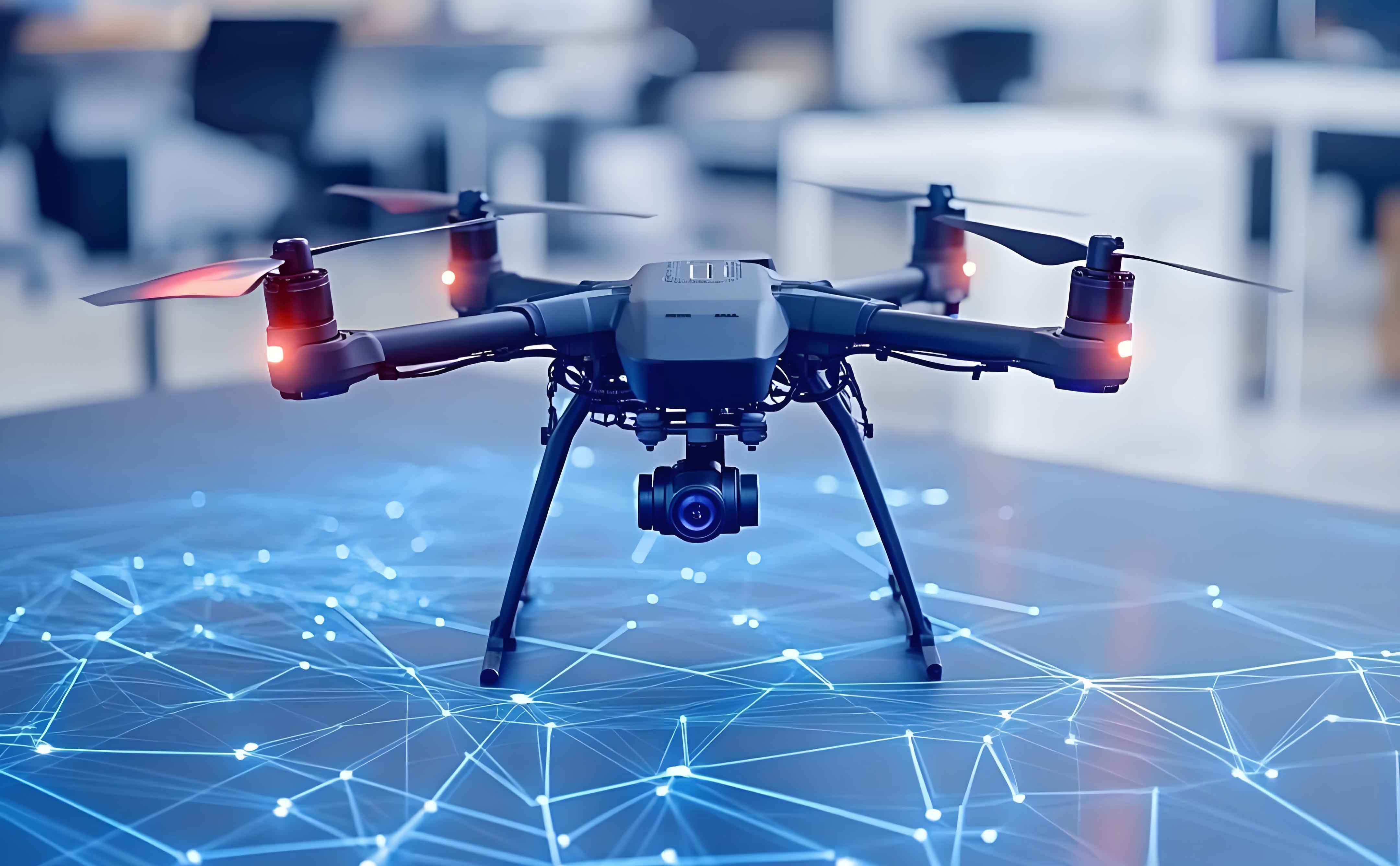
Surveying UAV Data Acquisition and Communication
The surveying drone module integrates advanced sensors for comprehensive equipment monitoring:
| Sensor | Specification | Performance Metric |
|---|---|---|
| Zenmuse P1 Camera | 45MP Full-frame | Resolution: 8192×5460 |
| Zenmuse H20T Payload | Visible/IR/LiDAR | Thermal Res: 640×512 |
| RTK Positioning | Dual-frequency GPS | Accuracy: ±1cm (H)/±2cm (V) |
Data transmission occurs via 5G-CPE routers with theoretical throughput of 1.65Gbps and latency below 10ms. Multi-drone ad-hoc networks ensure coverage across distributed assets using micro-base station deployment:
$$ \text{Coverage Density} = \frac{N_{\text{drones}} \times R_{\text{com}}}{\text{Area}_{\text{grid}}} $$
where \(N_{\text{drones}}\) denotes surveying UAV count and \(R_{\text{com}}\) represents 5G communication radius.
Intelligent Analysis and Diagnosis Module
Deep learning algorithms process multi-source data from surveying drones:
| Algorithm | Function | Accuracy |
|---|---|---|
| DeepLabV3+ | Component segmentation | 95.2% mIoU |
| ResNet-50 | Fault classification | 98.2% |
Hardware utilizes NVIDIA Jetson AGX Xavier with 512 CUDA cores. Component health is quantified through weighted fusion:
$$ H = 1 – \sum_{i=1}^{n} w_i \cdot p_i $$
where \(H\) denotes health index (0-1 scale), \(w_i\) is severity weight for fault \(i\), and \(p_i\) is occurrence probability. Surveying UAV data provides real-time \(p_i\) inputs for dynamic assessment.
Automated Maintenance Task Management
Upon fault diagnosis, the system generates optimized work orders using constraint programming:
$$ \text{Minimize} \sum_{t=1}^{T} \left( \alpha \cdot C_{\text{time}} + \beta \cdot C_{\text{resource}} \right) $$
subject to resource limits \(\sum r_k \leq R_{\text{max}}\) and time windows \(t_{\text{arrival}} \leq \text{deadline}\). The scheduler integrates:
- Real-time surveying UAV telemetry
- Field crew GPS tracking
- Weather-adaptive path planning
Optimization reduces response times by 70.8% compared to manual dispatch.
Experimental Validation
A 31-day field evaluation compared surveying drone systems against traditional methods across 100 towers and 5 transformers:
| Metric | Surveying UAV System | Traditional Method | Improvement |
|---|---|---|---|
| Daily Inspection Rate | 40 units | 20 units | +100% |
| Fault Detection Rate | 95.8% | 80.5% | +15.3pp |
| Diagnostic Accuracy | 98.2% | 89.5% | +8.7pp |
| Response Time | 22 minutes | 75 minutes | -70.7% |
| System Uptime | 99.5% | 98.1% | +1.4pp |
The surveying UAV platform demonstrated particular advantages in hard-to-access locations, reducing inspection risks while maintaining 5G connectivity across 50km² test areas.
Conclusion
This surveying drone-enabled management system significantly advances distribution network maintenance through:
- Automated high-resolution data collection via multi-sensor surveying UAVs
- Real-time 5G transmission enabling immediate diagnostics
- Deep learning achieving >98% fault recognition accuracy
- Optimized task dispatch reducing response times by 70.7%
Future integration with edge computing and digital twins will enhance predictive capabilities. Surveying drone systems establish a scalable framework for next-generation smart grid maintenance, demonstrating quantifiable improvements across all operational metrics. The continuous evolution of surveying UAV technology promises further advancements in autonomous grid management.