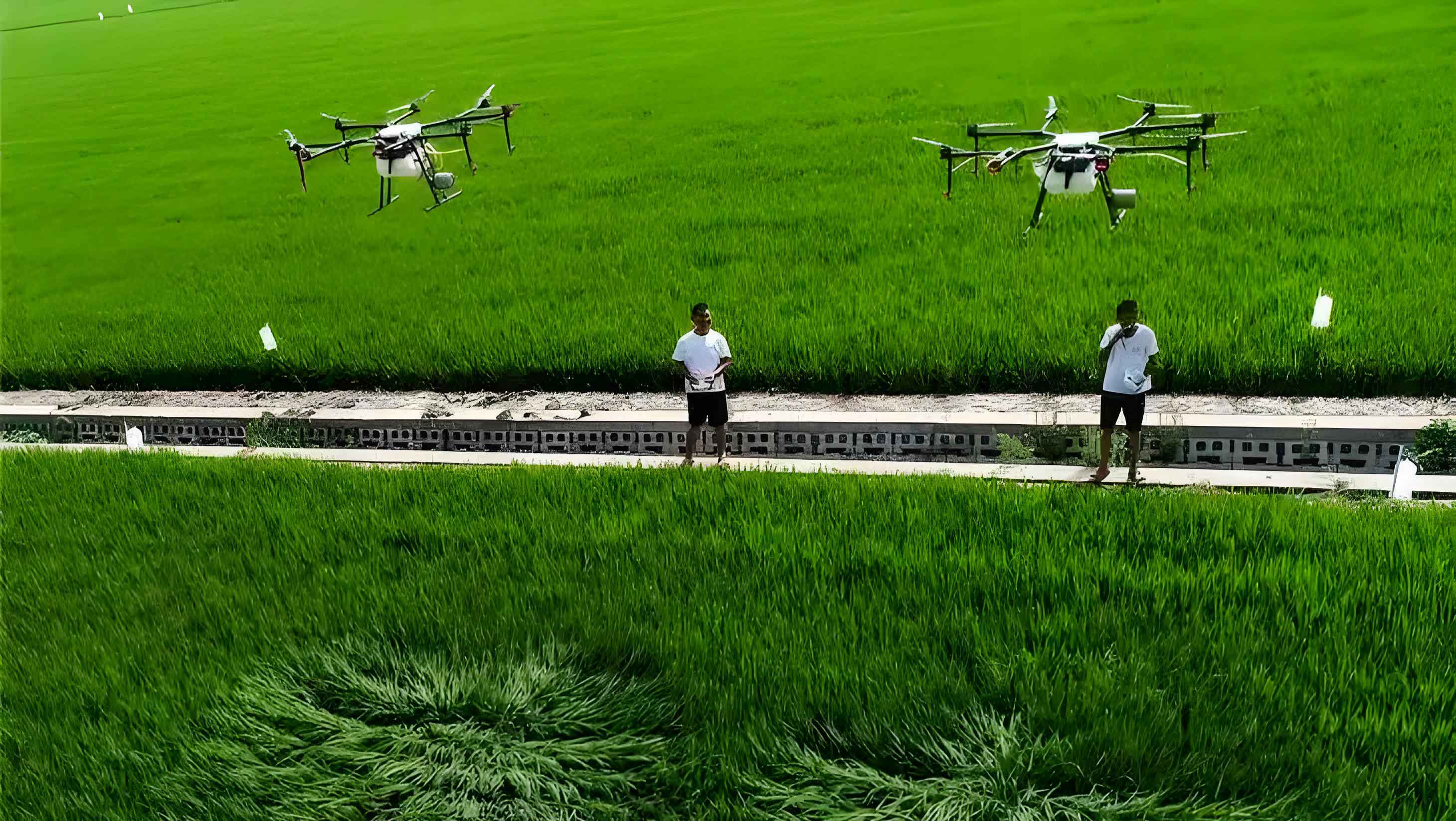
In modern agriculture, the use of agricultural UAVs (unmanned aerial vehicles) for plant protection operations has become increasingly prevalent due to their efficiency, precision, and ability to reduce labor costs. However, the safety and effectiveness of these agricultural UAV operations are influenced by various factors such as weather conditions, terrain, and obstacles. To proactively address these challenges and minimize risks like collisions or loss of control, a scientifically planned full-coverage route is essential. This study focuses on developing a comprehensive method for planning full-coverage routes in agricultural UAV plant protection operations. We analyze evaluation metrics for route planning, propose coordinate calculation methods after heading rotation, and design specific schemes for operational area division and planning. By considering terrain variations, including open and obstacle boundaries, we aim to enhance the safety and efficiency of agricultural UAV applications. Our research emphasizes key aspects such as coverage rate, repetition coverage rate, and other constraints, providing a foundation for optimizing agricultural UAV performance in real-world scenarios.
The integration of agricultural UAVs into plant protection systems offers numerous benefits, including reduced chemical usage, improved crop health, and lower environmental impact. However, without proper route planning, agricultural UAVs may suffer from inefficiencies like overlapping sprays or missed areas, leading to resource wastage and potential crop damage. Therefore, this paper delves into the scientific planning of full-coverage routes for agricultural UAVs, aiming to establish a robust framework that accounts for diverse operational conditions. We begin by defining evaluation metrics to assess the effectiveness of route planning, followed by mathematical models for coordinate transformations and area segmentation. Through this approach, we seek to contribute to the advancement of agricultural UAV technologies, promoting sustainable farming practices.
To evaluate the performance of full-coverage route planning for agricultural UAVs, we consider several key indicators. These metrics help quantify the effectiveness of the planned routes in terms of coverage and efficiency. The primary evaluation metrics include coverage rate, repetition coverage rate, and other operational constraints. The coverage rate, denoted as \( Z_1 \), measures the proportion of the target area covered by the agricultural UAV’s flight path relative to the total area. It is calculated using the formula:
$$ Z_1 = \frac{S_f}{S_d} $$
where \( S_f \) represents the covered area and \( S_d \) denotes the total land area. Ideally, the coverage rate should approach 100%, but in practice, factors like wind drift or terrain irregularities may prevent perfect coverage. For agricultural UAVs, achieving a high coverage rate is crucial to ensure that all crops receive adequate protection without gaps.
The repetition coverage rate, denoted as \( F \), assesses the extent of overlapping sprays, which can lead to over-application of chemicals and increased costs. It is defined as:
$$ F = \frac{S_c}{S_j} $$
where \( S_c \) is the repeated coverage area and \( S_j \) is the actual operational area. A lower repetition coverage rate indicates more efficient use of agricultural UAV resources, minimizing waste and environmental harm. In ideal scenarios, this rate should be 0%, but real-world conditions often necessitate some overlap due to safety margins or sensor limitations.
Other constraints in agricultural UAV route planning include environmental factors like wind speed, temperature, and humidity, as well as technical limitations such as battery life, payload capacity, and sensor accuracy. These constraints must be integrated into the planning process to ensure safe and reliable operations. For instance, strong winds may require adjusting flight paths to maintain stability, while battery constraints dictate the maximum flight duration. By incorporating these factors, we can develop adaptive route plans that optimize agricultural UAV performance under varying conditions.
| Evaluation Metric | Formula | Ideal Value | Description |
|---|---|---|---|
| Coverage Rate (\( Z_1 \)) | \( Z_1 = \frac{S_f}{S_d} \) | 100% | Measures the proportion of area covered by the agricultural UAV. |
| Repetition Coverage Rate (\( F \)) | \( F = \frac{S_c}{S_j} \) | 0% | Assesses overlap in spraying, with lower values indicating efficiency. |
| Other Constraints | N/A | Context-dependent | Includes environmental and technical factors affecting agricultural UAV operations. |
In route planning for agricultural UAVs, accurate coordinate calculations are vital for defining flight paths. We propose a method for determining coordinate positions after heading rotation, which involves transforming pixel coordinates to a rotated coordinate system. Let the original pixel coordinate system be denoted as \( uOv \), where \( u \) represents the row number and \( v \) represents the column number in a grid image. After rotation, the new coordinates are \( x \) (horizontal) and \( y \) (vertical). To calculate the intersection points between sub-operation area interval lines and polygonal land boundaries, we use a linear equation based on two points. Given two points with coordinates \( (x_1, y_1) \) and \( (x_2, y_2) \), the relationship is expressed as:
$$ \frac{x – x_1}{x_1 – x_2} = \frac{y – y_1}{y_1 – y_2} $$
This equation allows us to derive the rotated coordinates, enhancing the precision of route planning for agricultural UAVs. However, this approach increases computational complexity and planning costs, necessitating a balance between accuracy and practicality. For agricultural UAV applications, we often simplify calculations by assuming uniform terrain or using approximate methods, but in complex environments, exact coordinate transformations are essential to avoid coverage gaps.
The process of full-coverage route planning for agricultural UAVs begins with dividing the operational area into manageable sub-areas. This segmentation is critical to ensure that each sub-area can be fully covered by the agricultural UAV’s flight path. Various methods can be employed for area division, each suited to different scenarios. For instance, uniform division splits the area into equal-sized sub-areas, which works well for regular shapes. Grid-based division uses a raster approach, setting waypoints at grid centers, ideal for complex terrains. Clustering methods group points based on distance or density, while graph-based division applies graph theory to partition areas with obstacles. In agricultural UAV operations, the choice of method depends on factors like land morphology and the presence of barriers such as trees or buildings.
When dividing areas for agricultural UAV routes, we must consider the tilt angle between the UAV’s heading and the area boundaries. If the tilt angle is too large, coverage gaps may occur, as illustrated in the context where uncovered regions appear near boundaries. To address this, we propose a universal handling technique for different boundary types. This involves expanding waypoints outward to improve coverage and contracting them inward to avoid boundaries, ensuring full coverage while maintaining safety for the agricultural UAV. By dynamically adjusting waypoints based on boundary conditions, we can optimize the flight path for maximum efficiency.
| Division Method | Description | Suitability for Agricultural UAV |
|---|---|---|
| Uniform Division | Divides area into equal sub-areas of same shape and size. | Best for regular, obstacle-free lands. |
| Grid-Based Division | Uses a raster grid with waypoints at centers. | Effective for complex or irregular terrains. |
| Clustering Division | Groups points based on proximity or density features. | Useful for areas with varying crop densities. |
| Graph-Based Division | Applies graph algorithms to partition connected regions. | Ideal for lands with obstacles or disjoint areas. |
Sub-operation area planning is a detailed step in route design for agricultural UAVs. It involves extracting vertices from irregular land plots to determine maximum and minimum coordinate values. Starting from the axis minimum value as the beginning and the maximum as the end, we draw interval lines to define sub-areas. For example, consider a sub-operation area \( n \) bounded by adjacent interval lines \( L_{ny} \) and \( L_{n+1}y \). The intersection points of these lines with the land boundaries provide the coordinates for defining the sub-area range. Suppose we have four coordinate points: \( a_1, a_2, a_3, a_4 \). The boundaries of sub-area \( n \) intersect with \( L_{ny} \) and \( L_{n+1}y \), yielding交点 coordinates that delineate the area. This process ensures precise segmentation for agricultural UAV flight paths, allowing for tailored routes that adapt to land contours.
For open boundary conditions in agricultural UAV route planning, we design routes that allow free flight based on real-time analysis, enhancing flexibility and efficiency. This approach requires calculating the number of sub-operation areas, their ranges, and waypoint coordinates. The number of sub-operation areas, denoted as \( [Q] \), is computed using the formula:
$$ [Q] = \frac{y_{\text{max}} – y_{\text{min}}}{P} $$
where \( y_{\text{max}} \) and \( y_{\text{min}} \) are the maximum and minimum y-coordinates of the land plot, and \( P \) is the spray width of the agricultural UAV. The value of \( Q \) is rounded up to the nearest integer; if not divisible, an extra area is added. From this, we derive the number of interval lines \( Z_2 \) and turning times \( C \) for the agricultural UAV:
$$ Z_2 = [Q] + 1 $$
$$ C = [Q] – 1 $$
These calculations account for environmental influences like wind or terrain, which may affect agricultural UAV performance. To determine the range of a sub-operation area, we extract four intersection points in an open-boundary land plot, identifying the maximum and minimum x-axis values. Substituting these into the y-values of adjacent interval lines, we obtain the area’s vertex coordinates. For instance, if the x-values are \( x_c \) and \( x_d \), the vertices are \( (x_c, y_{\text{min}} + nP) \), \( (x_d, y_{\text{min}} + nP) \), \( (x_c, y_{\text{min}} + (n-1)P) \), and \( (x_d, y_{\text{min}} + (n-1)P) \). This defines the spatial extent for agricultural UAV operations.
Waypoint coordinates in open boundary planning are calculated by considering the agricultural UAV’s position relative to the spray width. Since the UAV body is located at a radius of \( 0.5P \) from the spray edges, waypoints are offset inward by \( 0.5P \) to ensure accurate coverage. For example, waypoints may be set at \( (x_b – 0.5P, y_{\text{min}} + (n-0.5)P) \) and \( (x_b + 0.5P, y_{\text{min}} + (n-0.5)P) \), where \( x_b \) is a reference coordinate. In route traversal, waypoints are organized in a back-and-forth pattern, and their order may be swapped to optimize the flight path for agricultural UAVs. If the final group of waypoints cannot be reordered, they remain as is, maintaining efficiency in coverage.
Obstacle boundary route planning for agricultural UAVs focuses on avoiding collisions with structures like walls or trees while ensuring full coverage. Similar to open boundary planning, it involves computing sub-operation area numbers, ranges, and waypoints, but with adjustments for obstacles. The number of sub-areas \( [Q] \) is calculated using the same formula, but \( Q \) is rounded down. If the last sub-area does not meet the spray width \( P \), it is discarded. Additionally, if the number of intersection points between adjacent interval lines and land boundaries is odd, that sub-area is also discarded to simplify planning for agricultural UAVs.
The range of a sub-operation area in obstacle boundary planning is determined by evaluating intersection points. For instance, if two waypoints have y-values \( y_{\text{min}} + (n-0.5)P \), the waypoints for an obstacle-boundary sub-area might be \( (x_b – 0.5P, y_{\text{min}} + (n-0.5)P) \) and \( (x_b + 0.5P, y_{\text{min}} + (n-0.5)P) \). After grouping waypoints, their order is adjusted for traversal, and all waypoints are iterated to generate the final route coordinates. This method ensures that agricultural UAVs can navigate around obstacles safely, minimizing risks while maintaining coverage efficiency.
To summarize the calculations for both boundary types in agricultural UAV route planning, we present the following formulas and comparisons:
| Parameter | Open Boundary Formula | Obstacle Boundary Formula | Notes for Agricultural UAV |
|---|---|---|---|
| Sub-Area Number (\( [Q] \)) | \( [Q] = \frac{y_{\text{max}} – y_{\text{min}}}{P} \), rounded up | \( [Q] = \frac{y_{\text{max}} – y_{\text{min}}}{P} \), rounded down | Adjusts for terrain and obstacle presence. |
| Interval Lines (\( Z_2 \)) | \( Z_2 = [Q] + 1 \) | Same as open, but with discard rules | Critical for defining flight segments. |
| Turning Times (\( C \)) | \( C = [Q] – 1 \) | Depends on discarded areas | Affects agricultural UAV battery usage and time. |
| Waypoint Coordinates | \( (x_b \pm 0.5P, y_{\text{min}} + (n-0.5)P) \) | Similar, with obstacle avoidance | Ensures precise spraying by agricultural UAVs. |
In practical applications, agricultural UAV route planning must adapt to dynamic conditions. For example, in hilly terrain, the spray width \( P \) may vary due to altitude changes, requiring real-time adjustments. We can model this using a correction factor \( \alpha \) based on slope angle \( \theta \):
$$ P_{\text{adjusted}} = P \cdot \cos(\theta) $$
where \( P_{\text{adjusted}} \) is the effective spray width for the agricultural UAV. This ensures consistent coverage even on inclined surfaces. Additionally, wind effects can be incorporated by modifying waypoint positions using vector addition. If wind velocity is \( \vec{w} \), the adjusted waypoint \( \vec{p}_{\text{adj}} \) is given by:
$$ \vec{p}_{\text{adj}} = \vec{p} + k \cdot \vec{w} $$
with \( k \) as a scaling factor dependent on agricultural UAV speed and wind direction. Such enhancements make route planning more robust for agricultural UAVs operating in variable environments.
Another aspect to consider is the optimization of flight paths for multiple agricultural UAVs working in coordination. This involves partitioning the land into zones assigned to different UAVs, minimizing overlaps and collisions. We can use a cost function \( J \) to evaluate route efficiency:
$$ J = \sum_{i=1}^{N} (Z_{1,i} – F_i) + \lambda \cdot T $$
where \( N \) is the number of agricultural UAVs, \( Z_{1,i} \) and \( F_i \) are coverage and repetition rates for UAV \( i \), \( T \) is total operation time, and \( \lambda \) is a weighting factor. By minimizing \( J \), we achieve balanced performance across the fleet. This is particularly useful for large-scale farms where multiple agricultural UAVs are deployed simultaneously.
The integration of advanced sensors and AI technologies further enhances agricultural UAV route planning. For instance, real-time data from cameras or LiDAR can be used to detect obstacles and update routes dynamically. Machine learning algorithms can predict optimal paths based on historical data, improving accuracy over time. In this context, agricultural UAVs become intelligent systems capable of autonomous decision-making, reducing the need for manual intervention and increasing operational safety.
In conclusion, the scientific planning of full-coverage routes for agricultural UAVs is paramount for maximizing efficiency, reducing chemical usage, and ensuring safety in plant protection operations. Our study outlines a comprehensive method that includes evaluation metrics, coordinate calculations, and area division techniques tailored for open and obstacle boundaries. By implementing these approaches, agricultural UAVs can achieve higher coverage rates with minimal repetition, leading to cost savings and environmental benefits. Future work should focus on integrating real-time data and multi-UAV coordination to further advance agricultural UAV capabilities. As technology evolves, agricultural UAVs will continue to play a pivotal role in sustainable agriculture, driving innovation and productivity in the farming sector.
To further elaborate, the benefits of agricultural UAV route planning extend beyond operational efficiency. It contributes to precision agriculture by enabling targeted application of inputs, which reduces runoff and soil contamination. Moreover, by optimizing flight paths, agricultural UAVs can operate longer on a single battery charge, enhancing sustainability. The methods discussed here provide a framework for researchers and practitioners to develop customized solutions for diverse agricultural settings. As we refine these techniques, agricultural UAVs will become even more integral to modern farming, offering scalable solutions for global food security challenges.