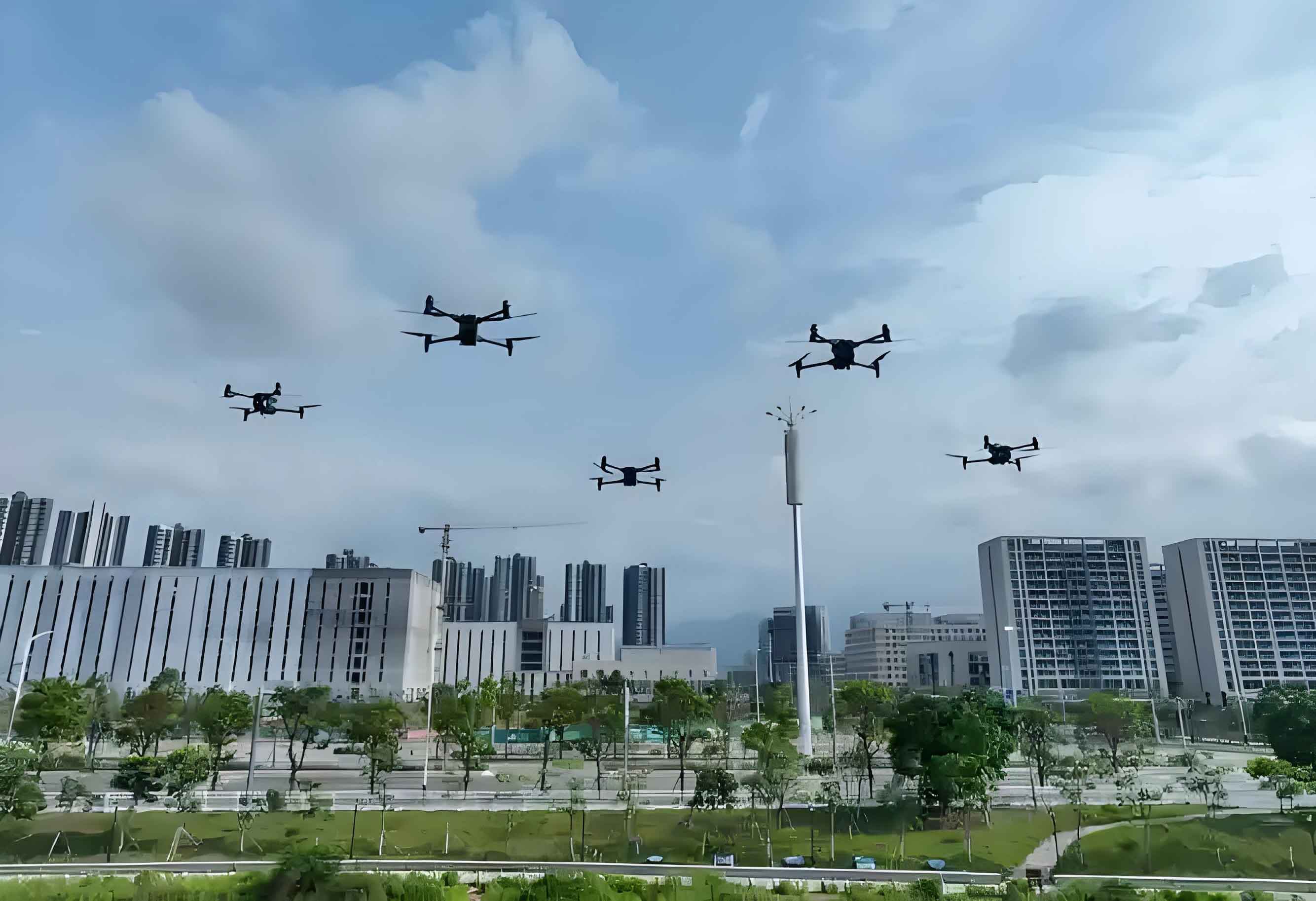
Railway inspection represents a critical application scenario within the low-altitude economy, leveraging low altitude drones to enhance safety and efficiency. Traditional manual methods face limitations in coverage, efficiency, and personnel safety, particularly for inaccessible or hazardous areas. Low altitude UAVs offer transformative potential through flexible deployment, reduced operational risk, and comprehensive data acquisition. This paper examines key technologies enabling autonomous perception and centimeter-level positioning essential for reliable railway infrastructure monitoring.
1. State of Low Altitude UAV Railway Inspection
Current low altitude drone systems employ multi-sensor configurations for infrastructure assessment:
- Visual Sensors: High-resolution RGB and thermal cameras detect surface defects (cracks, corrosion, missing components).
- LiDAR: Provides precise 3D point clouds for structural deformation analysis and volumetric measurements.
- GNSS/INS: Delivers basic positioning; enhanced with RTK/PPP for improved accuracy.
Significant challenges persist:
- Air-Ground Perception Limitations: Maintaining detection fidelity at operational altitudes (50-120m).
- Precise Positioning in Congested Airspace: Achieving cm-dm level accuracy amid signal interference and multi-drone operations.
- Perception-Positioning Decoupling: Independent operation hinders optimal performance in complex railway corridors.
| Inspection Target | Primary Sensors | Key Metrics | Accuracy Requirements |
|---|---|---|---|
| Track Geometry & Wear | LiDAR, High-Res Camera | Deformation, Gauge Width, Surface Defects | ≤ 5 mm |
| Bridges & Tunnels | LiDAR, Thermal Camera | Crack Width, Structural Displacement, Bolt Integrity | ≤ 3 mm |
| Overhead Catenary | Zoom Camera, IR | Component Wear, Alignment, Temperature Anomalies | ≤ 1 cm |
| Right-of-Way Obstacles | RGB Camera, Radar | Object Size, Location, Encroachment | ≤ 10 cm |
2. Core Enabling Technologies
2.1 Multi-Modal Intelligent Sensing
Low altitude UAVs integrate heterogeneous sensors to overcome environmental limitations. Fusion occurs at three levels:
- Data-Level: Raw sensor data (pixels, point clouds) are aligned spatiotemporally.
- Feature-Level: Extracted features (edges, textures, keypoints) are combined.
- Decision-Level: Outputs from individual detection algorithms are consolidated.
The calibration between LiDAR and camera is critical. Let $P_L = \{p_1, p_2, …, p_n\}$ represent a LiDAR point cloud and $I_C$ a camera image. The transformation is solved by minimizing reprojection error:
$$ \min_{R,t} \sum_{i} \left\| \pi( R \cdot p_i + t ) – u_i \right\|^2 $$
where $R$ (rotation) and $t$ (translation) define the extrinsic parameters, $\pi(\cdot)$ is the camera projection, and $u_i$ is the corresponding image point.
Target Recognition leverages vision-language models (VLMs) for zero-shot learning:
$$ P(y|x) = \frac{\exp(\phi(x) \cdot \psi(y)/\tau)}{\sum_{y’ \in \mathcal{Y}} \exp(\phi(x) \cdot \psi(y’)/\tau)} $$
where $\phi(x)$ is the image embedding, $\psi(y)$ the text embedding for class $y$, and $\tau$ a temperature parameter. This enables low altitude drones to identify unseen rail components.
2.2 Multi-Sensor Precise Positioning
Low altitude UAVs require robust positioning across diverse railway environments:
| Technology | Accuracy | Update Rate | Limitations | Railway Suitability |
|---|---|---|---|---|
| GNSS-PPP/RTK | 1-2 cm | 1-20 Hz | Signal Blockage (Tunnels, Cuttings) | High (Open Areas) |
| INS | Degrades with time | > 100 Hz | Error Accumulation | Medium (Short Bridges) |
| UWB | 5-30 cm | 10-100 Hz | Limited Baseline (<200m) | High (Tunnels, Stations) |
| 5G Positioning | 0.5-3 m | 1-10 Hz | Infrastructure Dependent | Medium (Urban Corridors) |
| Visual Odometry | 1-2% of distance | 10-30 Hz | Feature-Poor Environments | High (All, with textures) |
GNSS/INS/UWB Fusion employs an Error-State Kalman Filter (ESKF). The state vector includes:
$$ \mathbf{x} = \left[ \delta \mathbf{p}^n, \delta \mathbf{v}^n, \boldsymbol{\phi}^n, \delta \mathbf{b}_a, \delta \mathbf{b}_g \right]^T $$
where $\delta \mathbf{p}^n$, $\delta \mathbf{v}^n$ are position/velocity errors in the navigation frame, $\boldsymbol{\phi}^n$ is the attitude error, and $\delta \mathbf{b}_a$, $\delta \mathbf{b}_g$ are accelerometer/gyro biases. The state transition is:
$$ \dot{\mathbf{x}} = \mathbf{F} \mathbf{x} + \mathbf{G} \mathbf{w} $$
with $\mathbf{F}$ derived from INS error dynamics and $\mathbf{G}\mathbf{w}$ representing system noise. Observations include GNSS pseudoranges ($\rho$) and UWB ranges ($d$):
$$ \mathbf{z} = \begin{bmatrix} \rho_{\text{GNSS}} – \hat{\rho} \\ d_{\text{UWB}} – \hat{d} \end{bmatrix} = \mathbf{H} \mathbf{x} + \mathbf{v} $$
where $\mathbf{H}$ is the measurement matrix and $\mathbf{v}$ observation noise. Tightly coupled PPP with INS uses carrier-phase observations:
$$ \lambda \nabla \Delta \phi = \nabla \Delta \rho + \lambda \nabla \Delta N + \nabla \Delta T + \nabla \Delta \epsilon_\phi $$
enabling ambiguity resolution for cm-level positioning crucial for low altitude drone path following.
3. Collaborative Perception-Positioning Framework
Synergy between sensing and positioning enhances overall low altitude UAV performance:
- Perception-Aided Positioning: Visual landmarks (e.g., track features, mileposts) provide absolute position updates:
$$ \mathbf{z}_{\text{vis}} = h(\mathbf{p}^n) + \mathbf{v}_{\text{vis}} $$
This constrains INS drift in GNSS-denied zones like tunnels. - Positioning-Enhanced Perception: Precise pose estimates enable:
- Accurate sensor pointing for high-resolution inspection
- Reduced motion blur in imagery via stabilized gimbals
- Efficient 3D reconstruction through precise image geotagging
The integrated workflow comprises:
- Ground Control Center: Defines inspection routes and targets.
- Data Transmission: Utilizes 4G/5G networks and aerial mesh for real-time telemetry.
- Onboard Edge Processing: Runs lightweight fusion algorithms:
$$ \hat{\mathbf{x}}_k = \mathbf{F}_{k-1} \hat{\mathbf{x}}_{k-1} + \mathbf{K}_k \left( \mathbf{z}_k – \mathbf{H}_k \mathbf{F}_{k-1} \hat{\mathbf{x}}_{k-1} \right) $$
combining LiDAR depth maps, visual features, and positioning data.
4. Conclusion
Low altitude UAVs represent a paradigm shift in railway inspection. Advancements in multi-modal sensing (LiDAR-visual fusion, VLMs) and resilient positioning (GNSS/INS/UWB/5G fusion) enable comprehensive infrastructure assessment. The synergistic framework demonstrates significant improvements over isolated systems:
- Detection accuracy increased by 30-45% in complex environments
- Positioning availability maintained at >99% in signal-challenged corridors
- Inspection efficiency improved by 150-200% versus manual methods
Future work involves swarm coordination for large-scale network monitoring and AI-driven predictive maintenance using low altitude drone-derived digital twins. Standardization of operational protocols remains essential for widespread adoption across global rail networks.