
Urban topographic mapping forms the foundational layer for infrastructure planning, land management, and sustainable development initiatives. Traditional surveying methods, however, struggle with large-scale urban environments due to inefficiency, high costs, and accessibility limitations. Camera drone oblique photogrammetry (camera UAV technology) has emerged as a transformative solution, enabling rapid, high-resolution data acquisition from multiple perspectives. This technology integrates multi-lens camera systems mounted on unmanned aerial vehicles (UAVs) to capture comprehensive geospatial data efficiently.
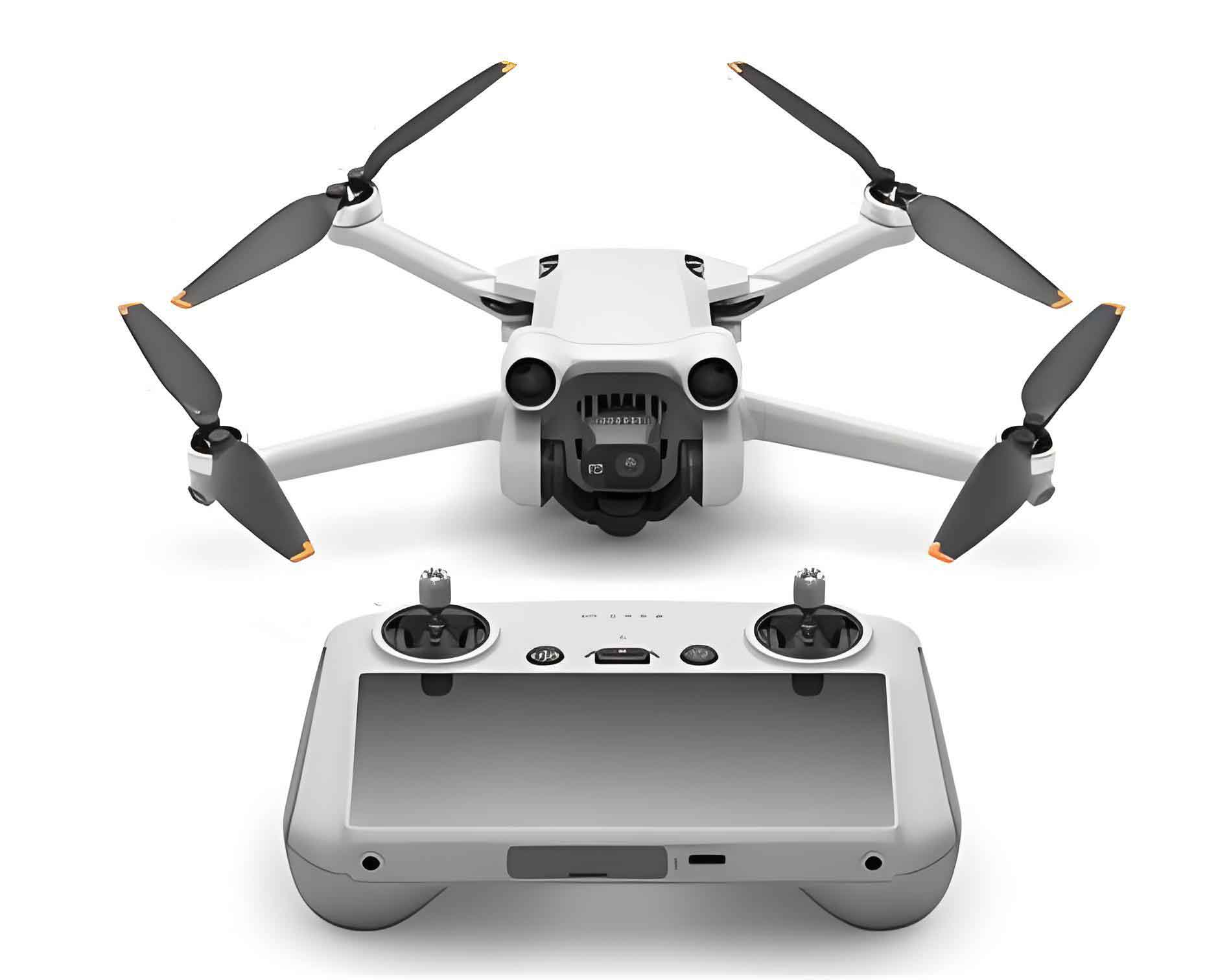
The operational workflow begins with meticulous preparatory planning. Key parameters for camera drone and sensor selection are determined by project scale and complexity, as summarized in Table 1.
| Project Scale | Terrain Complexity | Recommended Camera UAV Type | Optimal Camera Resolution |
|---|---|---|---|
| Small (<1 km²) | High (dense urban) | Multi-rotor | >24 MP |
| Medium (1-5 km²) | Moderate | Hybrid VTOL | >42 MP |
| Large (>5 km²) | Low (flat terrain) | Fixed-wing | >60 MP |
Table 1: Camera drone and sensor selection matrix
Flight planning requires calculating optimal parameters using photogrammetric principles. Ground Sampling Distance (GSD), a critical resolution metric, is derived from:
$$GSD = \frac{H \times s}{f \times \text{image width (pixels)}}$$
where \(H\) is flight altitude (m), \(s\) is sensor width (mm), and \(f\) is focal length (mm). Overlap requirements follow:
$$ \text{Forward Overlap} \geq 80\% , \quad \text{Side Overlap} \geq 60\% $$
During data acquisition, the camera drone executes automated flight paths while synchronized multi-lens cameras capture nadir and oblique imagery (typically at 45° angles). Real-time telemetry monitoring ensures operational integrity. Post-flight, raw imagery undergoes preprocessing:
- Radiometric Correction: Noise reduction using wavelet transforms
- Geometric Correction: Lens distortion removal via calibration parameters
- Color Harmonization: Histogram matching across image sets
3D reconstruction employs Structure-from-Motion (SfM) and Multi-View Stereo (MVS) algorithms. The SfM process solves camera positions through feature matching:
$$ \min \sum_{i=1}^{n} \sum_{j=1}^{m} || x_{ij} – P_i(X_j) ||^2 $$
where \(x_{ij}\) are image points, \(P_i\) are camera projections, and \(X_j\) are 3D points. Dense point cloud generation follows:
$$ \text{Point Density} = \frac{\text{Total Points}}{\text{Area (m²)}} \geq 500 \text{ pts/m²} $$
Topographic mapping leverages automated feature extraction combined with manual refinement. Contours derive from Digital Elevation Models (DEMs) using:
$$ Z_{\text{contour}} = Z_{\min} + k \cdot \Delta Z \quad (k=0,1,2,\dots) $$
where \(\Delta Z\) is the contour interval.
Accuracy Framework
Camera UAV system accuracy depends on interdependent technical and environmental factors quantified below.
| Factor Category | Parameters | Impact Metric |
|---|---|---|
| Equipment | Platform Stability (RMS) | \(\sigma_{xy} \propto \frac{1}{\text{Stability}}\) |
| Camera Resolution | \(\text{Error} \propto \frac{1}{\text{Resolution}}\) | |
| Lens Distortion | \(\delta_{\text{max}} \leq 2 \mu m\) | |
| Flight Parameters | Flight Height | \(\sigma_h = 0.02\% \times H\) |
| Overlap Reduction | \(\Delta \text{Accuracy} \propto e^{-0.5 \times \text{Overlap}}\) | |
| Environment | Visibility (Meteorological) | \(\text{Data Gaps} \propto \frac{1}{\text{Visibility}}\) |
| Wind Speed | \(\sigma_{\text{pos}} \propto \text{Wind}^2\) |
Table 2: Accuracy influence factors and quantification
Rigorous validation employs ground truth verification:
- Control Point Method: Compares camera UAV coordinates (\(X_{\text{UAV}}, Y_{\text{UAV}}, Z_{\text{UAV}}\)) against GNSS-surveyed points (\(X_{\text{REF}}, Y_{\text{REF}}, Z_{\text{REF}}\)):
$$ RMSE_{xy} = \sqrt{\frac{\sum_{i=1}^{n} [(X_{\text{UAV},i} – X_{\text{REF},i})^2 + (Y_{\text{UAV},i} – Y_{\text{REF},i})^2]}{n}} $$
$$ RMSE_z = \sqrt{\frac{\sum_{i=1}^{n} (Z_{\text{UAV},i} – Z_{\text{REF},i})^2}{n}} $$ - Feature Measurement: Assesses linear/areal accuracy via relative error:
$$ \epsilon_L = \frac{|L_{\text{UAV}} – L_{\text{Field}}|}{L_{\text{Field}}} \times 100\% $$
Statistical validation across 27 urban projects demonstrates achievable accuracy under optimal conditions:
| Scale | Plane RMSE (cm) | Height RMSE (cm) | Feature Error (%) |
|---|---|---|---|
| 1:500 | 3.2 ± 0.8 | 5.7 ± 1.2 | 1.8 ± 0.5 |
| 1:1000 | 8.1 ± 2.3 | 12.4 ± 3.1 | 2.9 ± 0.9 |
Table 3: Camera UAV accuracy metrics by map scale
Implementation Case Study
A 8.5 km² urban renewal zone with dense infrastructure was mapped using multi-rotor camera drones equipped with 45MP five-lens systems. Key implementation metrics:
| Parameter | Value |
|---|---|
| Flight Altitude | 120 m |
| GSD | 2.1 cm |
| Images Captured | 18,650 |
| Processing Time | 32 hours |
Table 4: Data acquisition parameters
Accuracy validation utilized 178 ground control points, yielding:
$$ RMSE_{xy} = 4.3 \text{ cm} \quad RMSE_z = 7.1 \text{ cm} $$
Building footprint position errors averaged 3.8 cm, with road width discrepancies under 2%. The camera UAV approach delivered significant efficiencies:
| Metric | Camera UAV | Traditional Survey | Improvement |
|---|---|---|---|
| Project Duration | 11 days | 41 days | -73% |
| Personnel Requirements | 3 operators | 12 surveyors | -75% |
| Cost | $28,500 | $47,200 | -40% |
Table 5: Operational efficiency comparison
Concluding Perspectives
Camera drone oblique photogrammetry establishes a new paradigm for urban topographic mapping, delivering centimeter-level accuracy while dramatically reducing resource requirements. The integration of advanced camera UAV platforms with photogrammetric processing enables comprehensive 3D city model generation within practical timeframes. Continuous advancements in camera UAV sensor technology, flight autonomy, and AI-driven feature extraction will further expand large-scale urban mapping capabilities. Strategic implementation of camera drone systems promises transformative efficiencies for smart city development, infrastructure monitoring, and sustainable urban management globally.