Traditional highway surveying methods struggle with complex terrain, presenting significant safety risks, inefficiency, and data limitations. Surveying drone technology revolutionizes this process by enabling rapid, high-precision data collection in challenging environments. This analysis examines surveying UAV deployment in a representative 105 km highway project with diverse topography, demonstrating transformative workflow enhancements.
Core Principles of Surveying UAV Systems
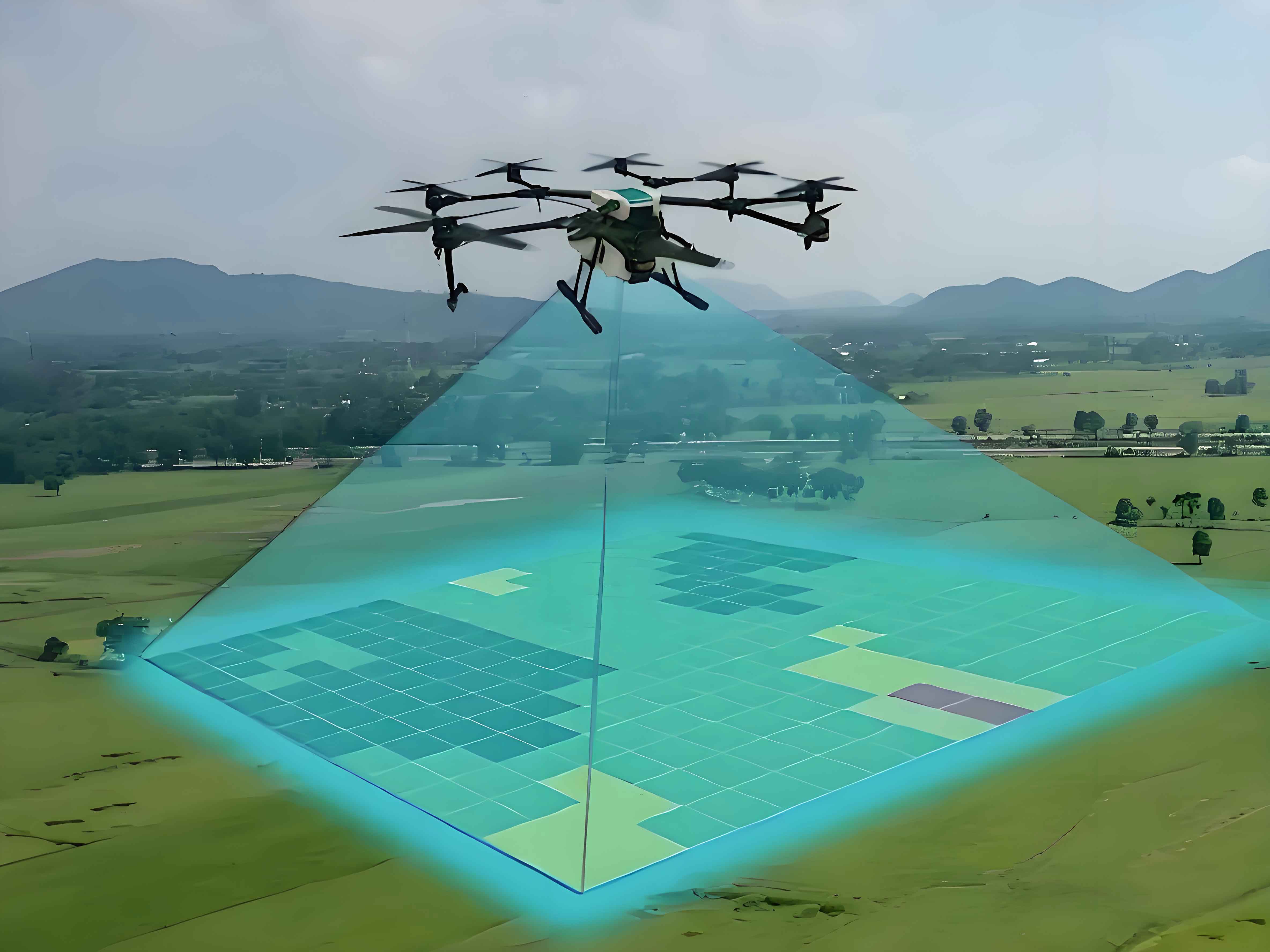
Modern surveying drones integrate aerial platforms, sensors, and processing systems. The fundamental operating principle involves:
$$GSD = \frac{H \times s}{f}$$
Where \(GSD\) is Ground Sampling Distance (cm/pixel), \(H\) is flight height (m), \(s\) is sensor width (mm), and \(f\) is focal length (mm). This equation determines spatial resolution. A typical surveying UAV system comprises:
- Flight Platform: Fixed-wing or multirotor UAVs carrying payloads
- Sensors: High-resolution RGB cameras, LiDAR, multispectral sensors
- Ground Control: Mission planning software and real-time monitoring
- Processing Suite: Photogrammetric software for 3D modeling
Comprehensive Surveying UAV Workflow
1. Control Point Configuration
Precise ground control points (GCPs) ensure geospatial accuracy. For highway projects, we distribute two GCP types:
| Control Point Type | Function | Density (km⁻¹) | Marking Specification |
|---|---|---|---|
| Horizontal-Elevation Points | Georeferencing baseline | 1.0 | 60cm diameter lime circles |
| Check Points | Accuracy validation | 0.3 | Reflective targets |
Optimal GCP distribution follows:
$$N_{GCP} = \frac{L \times W}{A_{density}}$$
Where \(L\) is route length (km), \(W\) is corridor width (km), and \(A_{density}\) is point density (points/km²).
2. Sensor Calibration
Radiometric and geometric calibration ensures measurement fidelity. We perform:
- Focal length adjustment: \(\Delta f \leq 0.01\% \)
- Lens distortion correction
- Dynamic range optimization
3. Photogrammetric Flight Operations
Mission parameters directly impact data quality:
| Parameter | Value | Standard Reference |
|---|---|---|
| Flight Altitude | 80m | CH/Z 3005-2010 |
| Longitudinal Overlap | 80% | ASPRS Guidelines |
| Lateral Overlap | 75% | ASPRS Guidelines |
| Ground Resolution | 8-10cm | 1:1000 Scale Mapping |
Ground resolution requirements vary by design phase:
| Design Stage | Required Scale | GSD (cm) |
|---|---|---|
| Feasibility Study | 1:5,000 | 18-25 |
| Preliminary Design | 1:2,000 | 15-20 |
| Detailed Design | 1:1,000 | 8-10 |
4. Orthomosaic Generation
Using Structure-from-Motion (SfM) algorithms:
$$P = \frac{1}{n}\sum_{i=1}^{n}\begin{pmatrix} X_i \\ Y_i \\ Z_i \end{pmatrix} = \begin{pmatrix} \bar{X} \\ \bar{Y} \\ \bar{Z} \end{pmatrix}$$
Where \(P\) represents point cloud coordinates and \(n\) is image count. Processing workflow includes:
- Aerial triangulation with \(\sigma \leq 3 \times GSD\)
- Digital Surface Model (DSM) generation
- Radiometric balancing
- Seamline network optimization
5. 3D Modeling
Highway corridor models require:
$$M_{detail} = \frac{L_{route} \times R_{data}}{C_{processing}}$$
Where \(L_{route}\) is route length, \(R_{data}\) is data density (points/m²), and \(C_{processing}\) is computational efficiency. Our modeling standards specify:
- Contour interval: 2 meters
- Feature line width: ≤0.3mm
- Vertical accuracy: \(\leq 15cm\) RMSE
Implementation Challenges and Solutions
Technical Skill Development
Surveying UAV operations require multidisciplinary expertise. Our training protocol includes:
- 240-hour certified operator program
- Complex terrain simulation training
- Data processing certification (minimum 20 specialists)
- Monthly proficiency assessments
Maintenance and Support Systems
Robust maintenance protocols prevent operational failures:
| Component | Inspection Frequency | Preventive Measures |
|---|---|---|
| Battery Systems | Every 15 cycles | Load testing |
| Motors/ESC | 50 flight hours | Vibration analysis |
| Structural Elements | 100 flight hours | Stress testing |
Regional service centers reduce downtime through:
- 4-hour onsite response commitment
- Modular component replacement system
- Predictive maintenance analytics
Cost Management Strategies
Financial analysis demonstrates significant savings:
| Acquisition Model | Cost per km (USD) | Equipment Utilization |
|---|---|---|
| Direct Purchase | 2,800 | 42% (annual) |
| Strategic Leasing | 600 | 85% (project-based) |
| Cooperative Consortium | 450 | 92% (shared) |
Additional financial approaches include:
- Government technology adoption subsidies (30-50% cost offset)
- Data-as-a-Service (DaaS) partnerships
- Lifecycle cost analysis modeling
Conclusion
Surveying drone implementation transforms highway development through enhanced safety protocols, 60% faster data acquisition, and millimeter-level precision. Successful deployment requires integrated approaches to technical training, maintenance ecosystems, and financial planning. As surveying UAV capabilities advance, their role in intelligent transportation infrastructure will expand significantly, particularly in terrain analysis, construction monitoring, and asset management applications.