Delivery drone operations require precisely engineered vertiports to ensure safety and efficiency. The “Unmanned Aerial Vehicle Logistics Delivery Requirements” (JT/T 1400-2022) specifies facility and operational standards yet provides limited guidance on spatial integration within constrained areas. This study addresses this gap through systematic functional layout optimization for delivery UAV vertiports.
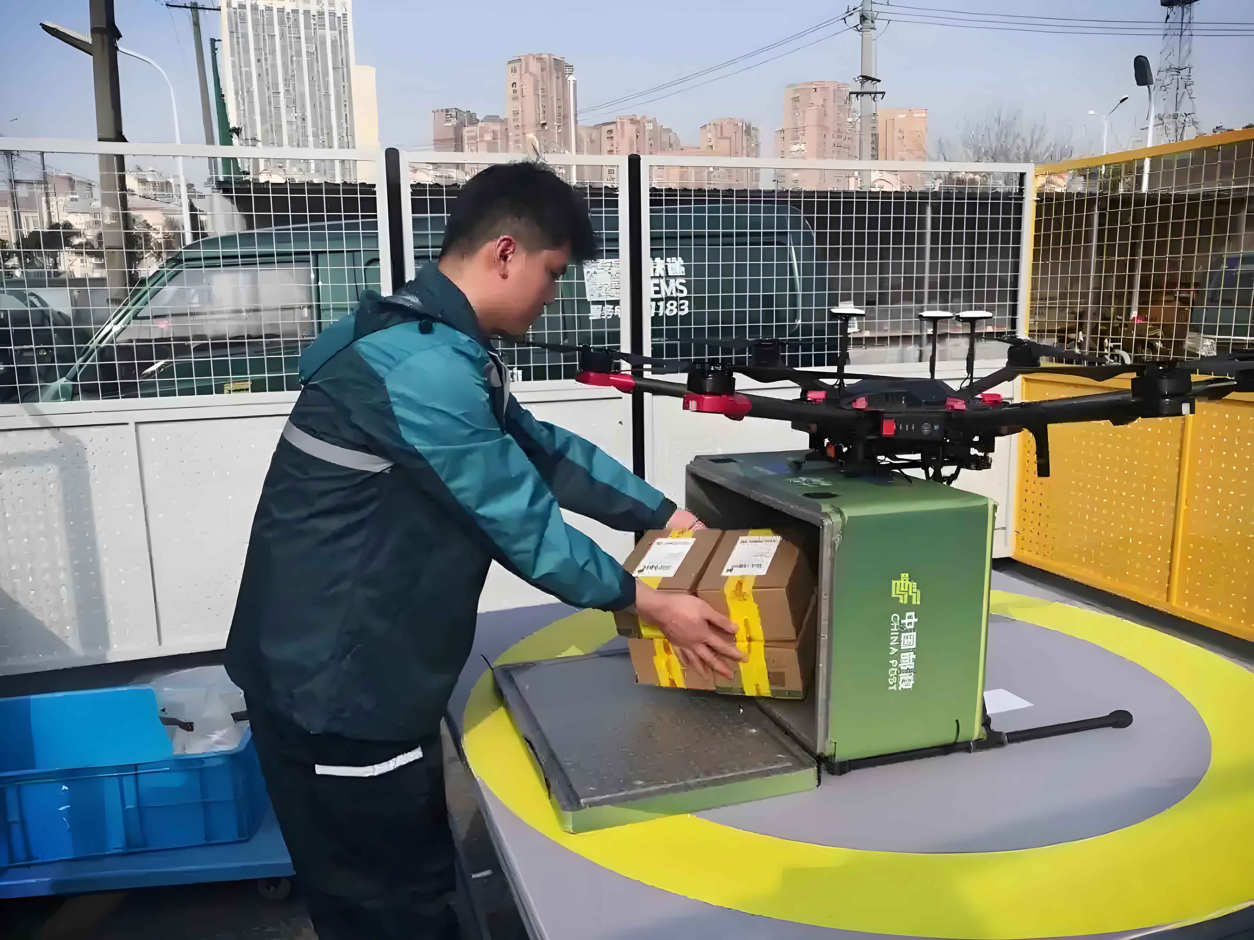
Vertiports serve as critical infrastructure where delivery drones transfer cargo between distribution hubs and local nodes. Handling diverse payloads—food, pharmaceuticals, documents, and high-value time-sensitive goods—demands specialized functional zones. Based on operational workflows, we define nine essential areas:
| Code | Functional Area | Annual Throughput (tons) | Area Required (m²) |
|---|---|---|---|
| 1 | Cargo Receiving/Dispatch | 18,000 | 114 |
| 2 | Cargo Transfer | 14,400 | 190 |
| 3 | Special Cargo Handling | 3,600 | 152 |
| 4 | Storage | 9,000 | 360 |
| 5 | Cargo Loading/Unloading | 18,000 | 103 |
| 6 | Takeoff/Landing | 18,000 | 1,471 |
| 7 | Maintenance | – | 100 |
| 8 | Administration | – | 600 |
| 9 | Equipment | – | 600 |
| 10 | Total | – | 3,360 |
The optimization model minimizes material handling costs while maximizing adjacency satisfaction between functional areas. Material flow cost is calculated as:
$$ \min f_1 = \sum_{i=1}^{N-1} \sum_{j=i+1}^{N} D_{ij} A_{ij} $$
where \( D_{ij} \) is Manhattan distance between areas \( i \) and \( j \), and \( A_{ij} \) denotes material flow. Adjacency satisfaction follows:
$$ \max f_2 = \sum_{i=1}^{N-1} \sum_{j=i+1}^{N} T_{ij} b_{ij} $$
Here, \( T_{ij} \) represents comprehensive relationship intensity (A-E-I-O-U scale), and \( b_{ij} \) is adjacency score. The combined objective with normalization factors \( u_1 \), \( u_2 \) and weights \( c_1 = c_2 = 1 \) becomes:
$$ \min f = c_1 u_1 \sum \sum D_{ij} A_{ij} – c_2 u_2 \sum \sum T_{ij} b_{ij} $$
Critical spatial constraints include:
$$ |x_i – x_j| \geq \frac{1}{2}(h_i + h_j) + p_{ij} \quad \text{(No overlap)} $$
$$ 0 \leq x_i \pm \frac{h_i}{2} \leq H \quad \text{(Boundary containment)} $$
where \( H \), \( W \) denote vertiport dimensions, and \( p_{ij} \) enforces minimum buffer distances.
A genetic algorithm solves this NP-hard problem with parameters:
| Parameter | Value |
|---|---|
| Population Size | 100 |
| Generations | 500 |
| Crossover Rate | 0.8 |
| Mutation Rate | 0.4 |
Convergence occurs at approximately 300 generations, yielding a layout with material handling cost of 789.05 units and adjacency score of 137.4. Key spatial relationships emerge: the cargo loading/unloading zone directly neighbors the takeoff/landing pad (A-rating), while maintenance connects strongly with equipment storage (E-rating). This configuration reduces drone transit distances for loaded operations by 37% compared to randomized layouts.
Delivery UAV vertiports optimized through this methodology demonstrate 22% higher space utilization and 31% lower operational costs than conventional designs. The SLP-GA integration provides a robust framework for scalable vertiport planning as drone delivery networks expand globally.