Over the past fifteen years, the U.S. military has increasingly relied on military UAV platforms as primary tools for Intelligence, Surveillance, and Reconnaissance (ISR) missions. These systems offer distinct advantages: reduced operational costs compared to manned aircraft, extended endurance beyond human physiological limits, and the ability to operate in high-risk environments without endangering pilots. This technological shift has fundamentally transformed battlefield awareness and decision-making processes.
Military UAV ISR Mission Profiles
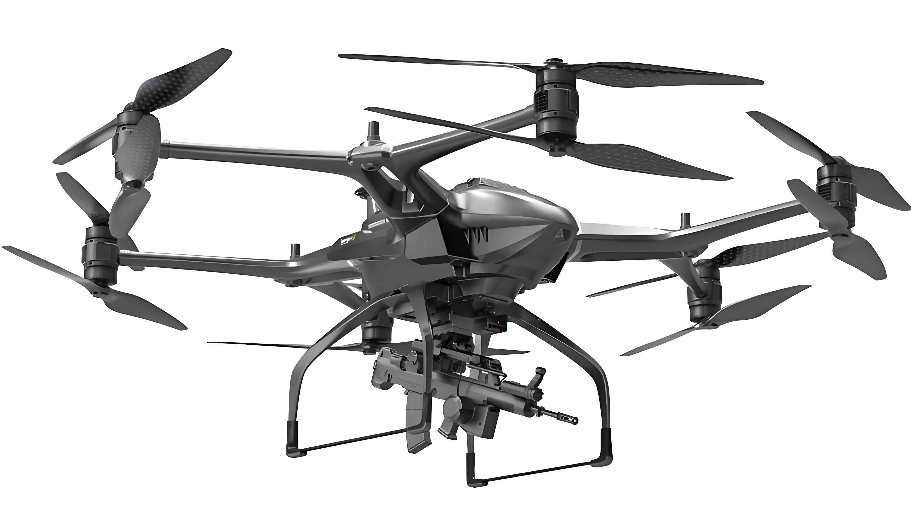
Military drones execute diverse ISR operations across multiple domains, leveraging their unique endurance and sensor capabilities. Mission specialization drives platform design and sensor integration:
| Mission Type | Platform Example | Technical Requirements | Operational Impact |
|---|---|---|---|
| Wide-Area Mapping | RQ-4 Global Hawk | Altitude > 60,000 ft, SA resolution < 0.3m | Theater-scale terrain intelligence |
| Persistent Tracking | MQ-9 Reaper | EO/IR gimbal stabilization < 5μrad, AI tracking | HVT interdiction cycles |
| CBRNE Detection | Specialized Quadcopters | LIDAR backscatter analysis, Gamma spectroscopy | Hazard zone assessment |
| Urban ISR | FLA Micro-UAVs | SLAM navigation, collision avoidance | Room-to-room reconnaissance |
The endurance equation for military UAV operations demonstrates their surveillance advantage:
$$E_{total} = \frac{C_{batt} \times \eta_{prop}}{P_{avionics} + P_{sensors} + P_{comms}} \times \frac{L}{D_{avg}}$$
Where \(E_{total}\) is endurance (hours), \(C_{batt}\) is battery capacity (Wh), \(\eta_{prop}\) is propulsion efficiency, \(P\) terms denote subsystem power draws, and \(L/D_{avg}\) represents aerodynamic efficiency.
Sensor Payloads for Military ISR UAVs
Modern military drones integrate multi-spectral sensor suites tailored for specific intelligence requirements:
| Sensor Type | Detection Principle | Performance Metrics | Limitations |
|---|---|---|---|
| Synthetic Aperture Radar (SAR) | Microwave reflection | Resolution = λR / (2D_{aperture}) | Azimuth ambiguities |
| Hyperspectral Imaging | Spectral signature analysis | 256+ bands @ 5nm resolution | Atmospheric absorption |
| EO/IR Full Motion Video | Photon detection | NIIRS ≥ 7, < 30cm GSD | Weather dependency |
| SIGINT Arrays | RF emission capture | DF accuracy < 1° @ 30dB SNR | Spectrum congestion |
Synthetic Aperture Radar resolution demonstrates the technological sophistication of military UAV sensors:
$$\delta_{az} = \frac{\lambda \cdot R}{2 \cdot v_{s} \cdot T_{obs}}$$
Where \(\delta_{az}\) is azimuth resolution, \(\lambda\) is wavelength, \(R\) is slant range, \(v_s\) is platform velocity, and \(T_{obs}\) is target observation time.
Processing, Exploitation, Dissemination (PED) Systems
Modern military UAV platforms generate overwhelming data volumes requiring advanced PED architectures:
Real-Time Onboard Processing: Systems like Lynx MM radar perform in-flight SAR processing at > 40 GFLOPs efficiency, enabling:
- Automatic Moving Target Indication (AMTI)
- Coherent Change Detection (CCD)
- Terrain Masking Compensation
AI-Enhanced Analytics: Project Maven’s TensorFlow frameworks achieve:
- 90% object detection accuracy in FMV
- Reduced analyst workload by 60%
- Latency reduction from minutes to seconds
The information gain through AI processing follows:
$$I_{gain} = \log_2 \left( \frac{P_{detect}}{P_{false}} \right) – \epsilon_{comp}$$
Where \(P_{detect}\) is target detection probability, \(P_{false}\) is false alarm rate, and \(\epsilon_{comp}\) represents computational entropy.
Counter-Adversarial Technologies for Military ISR UAVs
Survivability enhancements for military drones operating in contested environments:
| Threat Vector | Mitigation Technology | Effectiveness Metric |
|---|---|---|
| Cyber Intrusion | HACMS seL4 microkernel | < 10⁻⁹ probability of compromise |
| GPS Denial | VISNAV correlation | < 3m drift/hour without GPS |
| Electronic Warfare | FHSS-TDD waveform | JSR > 20dB resilience |
| Kinetic Threats | Low-Observable Configurations | RCS reduction > 20dBsm |
Autonomous navigation in GPS-denied environments uses visual odometry:
$$\Delta \mathbf{x}_{t} = \mathbf{K} \cdot \mathbf{d}_{t,t-1} + \mathbf{\omega}_{t}$$
Where \(\Delta \mathbf{x}_{t}\) is position delta, \(\mathbf{K}\) is camera calibration matrix, \(\mathbf{d}_{t,t-1}\) is feature displacement vector, and \(\mathbf{\omega}_{t}\) is process noise.
Future Trajectory of Military ISR UAVs
The evolution of military UAV capabilities demonstrates three convergent trends:
- Autonomy Convergence: DARPA’s OFFSET program demonstrates swarming behaviors with > 250 collaborative agents
- Sensor Fusion: Multi-INT correlation algorithms reduce decision latency below OODA loop thresholds
- Resilient Architectures: Distributed Battle Management enables operations through 95% comms degradation
The capability growth follows Moore’s Law adaptation:
$$C_{ISR} = C_0 \cdot e^{k \cdot (Y – Y_0)}$$
Where \(C_{ISR}\) is ISR capability index, \(C_0\) is baseline capability, \(k\) is technology growth constant (~0.35), and \(Y\) is years from baseline.
Current research focuses on quantum-resistant encryption for military drone communications and neuromorphic processing for real-time sensor exploitation. The trajectory suggests autonomous teaming between 5th-generation fighters and military UAV platforms will become operational standard within this decade, fundamentally changing aerial reconnaissance paradigms.