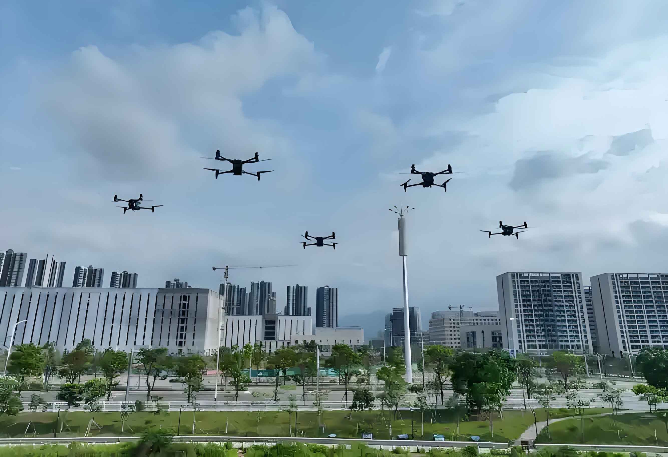
Traditional open-pit mine monitoring relies on manual surveying and low-resolution imagery, resulting in inefficient resource management and limited accuracy. Low altitude drone remote sensing overcomes these limitations through rapid high-resolution data acquisition and real-time processing. This technology enhances monitoring precision in challenging terrains while reducing operational costs, supporting green and smart mining initiatives.

Open-pit coal mining involves removing overburden to expose coal seams, causing significant environmental impacts including topographical alteration, vegetation destruction, soil contamination from waste materials, and air/noise pollution. These challenges necessitate advanced monitoring solutions where low altitude UAV systems prove particularly effective.
Low Altitude UAV Remote Sensing System
Integrated with GPS technology, low altitude drone systems capture high-resolution spatial imagery across diverse mining terrains. Unlike traditional aerial methods, these UAVs operate below 2km altitude with flight durations under 3 hours, equipped with compact sensors for flexible deployment. Key system characteristics include:
| Feature | Traditional Methods | Low Altitude UAV |
|---|---|---|
| Resolution | 0.5-2m | <0.2m |
| Data Acquisition Speed | Days/Weeks | Hours |
| Operational Cost | High (Personnel/Equipment) | Reduced by 40-60% |
| Terrain Adaptability | Limited | High (Inaccessible Areas) |
Operational Workflow
Low altitude UAV operations follow three critical phases:
- Preparation: Site assessment (topography, weather), sensor selection, equipment calibration, and flight path optimization
- Data Acquisition: Ground control point placement, automated flight execution, and real-time quality validation
- Data Processing: Image stitching, georeferencing, and output generation (DSM/DEM/DOM)
For oblique photogrammetry, specific low altitude UAV parameters ensure optimal results:
| Parameter | Requirement |
|---|---|
| Flight Altitude | <1000m AGL |
| Image Overlap | Longitudinal >75%, Lateral >53% |
| Camera Tilt | <4° |
| Weather Conditions | Wind <8m/s, No Precipitation |
Data Processing Methodology
Low altitude UAV imagery undergoes specialized processing to extract actionable insights:
Image Preprocessing
Initial noise reduction and quality filtering using algorithms like:
$$ \text{Enhanced Image} = \text{Original} \otimes \text{Gaussian Kernel}(\sigma=0.8) $$
Aerial Triangulation
Feature point matching through bundle adjustment:
$$ \min \sum_{i=1}^{n} \| \mathbf{x}_{ij} – \mathbf{P}_i \mathbf{X}_j \|^2 $$
Where $\mathbf{P}_i$ represents camera matrices and $\mathbf{X}_j$ denotes 3D points.
3D Modeling
Generation of textured TIN surfaces through photogrammetric reconstruction:
$$ \text{Vertex}_{xyz} = \mathbf{R} \cdot \text{Pixel}_{ij} + \mathbf{T} $$
With rotation matrix $\mathbf{R}$ and translation vector $\mathbf{T}$.
Quality Validation
Accuracy assessment using ground control points:
$$ \text{RMSE} = \sqrt{\frac{\sum_{i=1}^{n} (\text{Observed}_i – \text{Reference}_i)^2}{n}} \leq 0.2\text{m} $$
Mining Monitoring Applications
Low altitude UAV systems enable advanced analytical capabilities:
Boundary Violation Detection
Automated extraction of mining footprints compared to concession boundaries:
$$ \text{Violation Index} = \frac{\text{Excavated Area}_{\text{External}}}{\text{Total Excavated Area}} \times 100\% $$
Resource Extraction Quantification
Volumetric change detection between surveys:
$$ \Delta V = \sum_{i=1}^{n} (\text{DSM}_{t1}^i – \text{DSM}_{t2}^i) \cdot \text{Pixel Area} $$
Resource calculation:
$$ Q = \Delta V \times \rho $$
Where $\rho$ represents coal density (1.3-1.5 g/cm³).
Comparative accuracy of low altitude UAV volumetric measurement:
| Method | Error Margin | Survey Frequency |
|---|---|---|
| Manual Survey | 8-12% | Quarterly |
| Satellite Imagery | 5-8% | Monthly |
| Low Altitude UAV | <3% | Weekly/Daily |
Environmental Management
Low altitude UAV applications in sustainable mining:
- Revegetation Monitoring: NDVI-based growth tracking $$ \text{NDVI} = \frac{\text{NIR} – \text{Red}}{\text{NIR} + \text{Red}} $$
- Erosion Control: Surface deformation analysis using DSM differencing
- Waste Management
Environmental Management
Low altitude UAV applications in sustainable mining:
- Revegetation Monitoring: NDVI-based growth tracking $$ \text{NDVI} = \frac{\text{NIR} – \text{Red}}{\text{NIR} + \text{Red}} $$
- Erosion Control: Surface deformation analysis using DSM differencing
- Waste Management: Spoil heap volume calculation and stability assessment
- Water Resource Protection: Runoff pattern identification and sedimentation mapping
Conclusion
Low altitude UAV remote sensing revolutionizes open-pit coal mine monitoring by delivering centimeter-accurate, real-time data across all operational phases. The integration of automated flight systems with advanced photogrammetric processing enables unprecedented capabilities in boundary control, resource accounting, and environmental management. These systems demonstrate particular value in extreme environments where traditional monitoring fails, establishing low altitude drones as indispensable tools for sustainable mining operations. Future developments will focus on AI-driven anomaly detection and fully autonomous monitoring networks, further enhancing the technology’s contribution to intelligent mining practices.
