Camera drones, formally known as Unmanned Aerial Vehicles (UAVs), represent a transformative technology in aerial imaging. These camera UAVs are powered, unmanned aircraft capable of carrying diverse payloads, executing multiple missions, and being reused extensively. Their low cost, compact size, lightweight construction, and operational flexibility have led to rapidly expanding applications across numerous fields. Low-altitude aerial photography camera drones are particularly valuable for capturing high-resolution images and video from challenging environments. Their advantages include exceptional field mobility, significantly reduced operational costs compared to manned flights, high image clarity, and superior ground resolution. These attributes make low-altitude camera UAVs indispensable tools for surveying, mapping, inspection, and cinematography, offering a wide-ranging application potential.
As technology becomes more accessible and costs decrease, camera drones are increasingly prominent in civilian sectors. A low-altitude aerial photography camera UAV utilizes an unmanned aircraft as an aerial platform, equipped with remote sensing devices like high-resolution digital cameras to acquire critical information. Employing a camera drone substantially reduces personnel requirements and financial investment, yielding demonstrable efficiency and practical experience. However, the low-altitude environment presents significant challenges: abundant obstacles, unstable air currents, and electromagnetic interference severely impact aerial photography. Performing reliable low-altitude imaging demands robust aircraft design and skilled operation. This paper details a camera UAV specifically engineered to overcome these limitations, offering enhanced maneuverability, low cost, and user-friendly operation.
1. Camera UAV Electronic System Architecture
The camera drone’s electronic system comprises two primary subsystems: the Airborne Flight Subsystem and the Ground Control Subsystem. Mission execution relies on their seamless collaboration. Both subsystems employ a modular design philosophy, ensuring reliability, safety, and simplified system-wide performance management. Control redundancy is critical: the ground station communicates with the camera UAV via both a dedicated data transmission radio and a 2.4GHz RC transmitter. If one link fails, the other maintains control, significantly enhancing operational safety. Figure 1 illustrates the overall system architecture.
1.1 Airborne Flight Subsystem
The primary function of the Airborne Flight Subsystem is to collect GPS data, aircraft flight parameters, and imagery, transmit this information, and execute ground commands to adjust the camera UAV’s attitude and complete the flight mission. Key functional requirements include GPS and airspeed data acquisition, real-time image capture, signal processing, low-power management, modulation/demodulation, and wireless transmission. The subsystem integrates the following modules:
| Module | Primary Function | Key Parameters/Notes |
|---|---|---|
| Flight Control Module (FCM) | Core processor; manages data flow, executes autopilot functions (stability, waypoint navigation), interfaces with all sensors and actuators. | Processes commands, stabilizes flight, manages navigation. |
| Image Acquisition Module | Captures real-time video imagery of the target area. | Integrated sensor; feeds raw video to the Wireless A/V TX Module. |
| 2.4GHz RC Receiver | Receives manual pilot commands from the ground transmitter. | 7-channel output (e.g., 3x servos, 1x motor ESC). |
| GPS Module & Airspeed Sensor | Provides precise global positioning and true airspeed data. | High-dynamic GPS for accurate positioning during fast maneuvers. |
| Aircraft Attitude Control Module | Executes FCM commands to physically control the drone. | Comprises servos (ailerons, elevator, rudder), Electronic Speed Controller (ESC), motor, propeller. |
| Wireless A/V Transmit (TX) Module | Transmits video and telemetry data to the ground. | 5.8 GHz carrier; Inputs: Video signal + Audio (GPS/Airspeed data). 12V Supply. |
| Data Transmission Radio | Bi-directional link for telemetry data and ground commands. | Frequency: 433.666 MHz; Baud Rate: 57600 bps; Range: 1500-2000m; Power: 20mW; Voltage: 4-8V. |
| Power Module | Provides regulated power to all airborne components. | 12V LiPo main battery; 5V regulator for FCM and peripherals. |
Airborne Subsystem Workflow: The Flight Control Module (FCM) acts as the central hub. Ground commands arrive via either the Data Transmission Radio or the 2.4GHz RC Receiver. The FCM processes these commands and sends corresponding signals to the Aircraft Attitude Control Module (servos, ESC) to alter the drone’s flight path or attitude. The Data Transmission Radio also transmits aircraft GPS data back to the ground. Simultaneously, the Image Acquisition Module captures video, feeding it directly into the Wireless A/V TX Module. The GPS Module and Airspeed Sensor feed their digital data to the FCM. The FCM converts this telemetry data into an analog audio signal, which is then multiplexed with the video signal within the Wireless A/V TX Module. This combined video/audio stream is broadcast via a 5.8GHz link to the ground station. This camera UAV design ensures synchronized data and image transmission.
1.2 Ground Control Subsystem
The Ground Control Subsystem sends commands to the camera drone and receives, processes, and displays the UAV’s telemetry data and live imagery. Essential functions include data/image reception, demodulation, serial communication with the control computer, and data/image visualization. Key components include:
| Module | Primary Function | Key Parameters/Notes |
|---|---|---|
| Control Computer | Runs UAV control software; displays telemetry and maps; sends autonomous mission commands. | Software features: Waypoint planning, Auto-cruise, Return-to-Home (RTH), Loiter, Point-of-Interest (POI). Displays flight status/parameters (Fig. 2). |
| Data Transmission Module | Interfaces computer commands to the Data Transmission Radio. | Handles protocol conversion. |
| Wireless A/V Receive (RX) Module | Receives the 5.8GHz signal from the airborne TX module. | Outputs video to monitor and audio (telemetry) for decoding. |
| Monitor/Display | Shows real-time video feed from the camera drone. | Also overlays flight parameters (Fig. 3). |
| 2.4GHz RC Transmitter | Allows manual pilot override control of the camera UAV. | 7-channel; LCD interface for parameter adjustment. |
| Data Transmission Radio | Ground counterpart to the airborne unit; sends commands, receives telemetry. | Same parameters as Airborne Data Radio (433.666 MHz, etc.). |
| Power Supplies | 12V LiPo for Monitor and A/V RX Module; Computer USB/Serial power for Data Module & Radio. | Ensures stable operation of ground equipment. |
Ground Subsystem Workflow: The Wireless A/V RX Module receives the 5.8GHz signal. The video component is sent directly to the Monitor for display. The audio component, containing the encoded GPS and airspeed telemetry, is decoded (often by the control computer via a sound card input or dedicated decoder). The Data Transmission Radio receives telemetry data (including GPS) from the drone and sends it via the Data Transmission Module (with RS232 level conversion) to the control computer for display on the map interface and data logs. Autonomous mission commands generated within the UAV control software follow the reverse path: Computer -> Data Transmission Module -> Data Transmission Radio -> Air. This camera UAV system integrates manual (RC) and autonomous (computer) control seamlessly. Figure 2 illustrates the software interface showing waypoint navigation overlaid on a map. Figure 3 shows the monitor display combining the live camera feed and critical flight parameters.
2. Airframe Selection for Low-Altitude Camera UAV
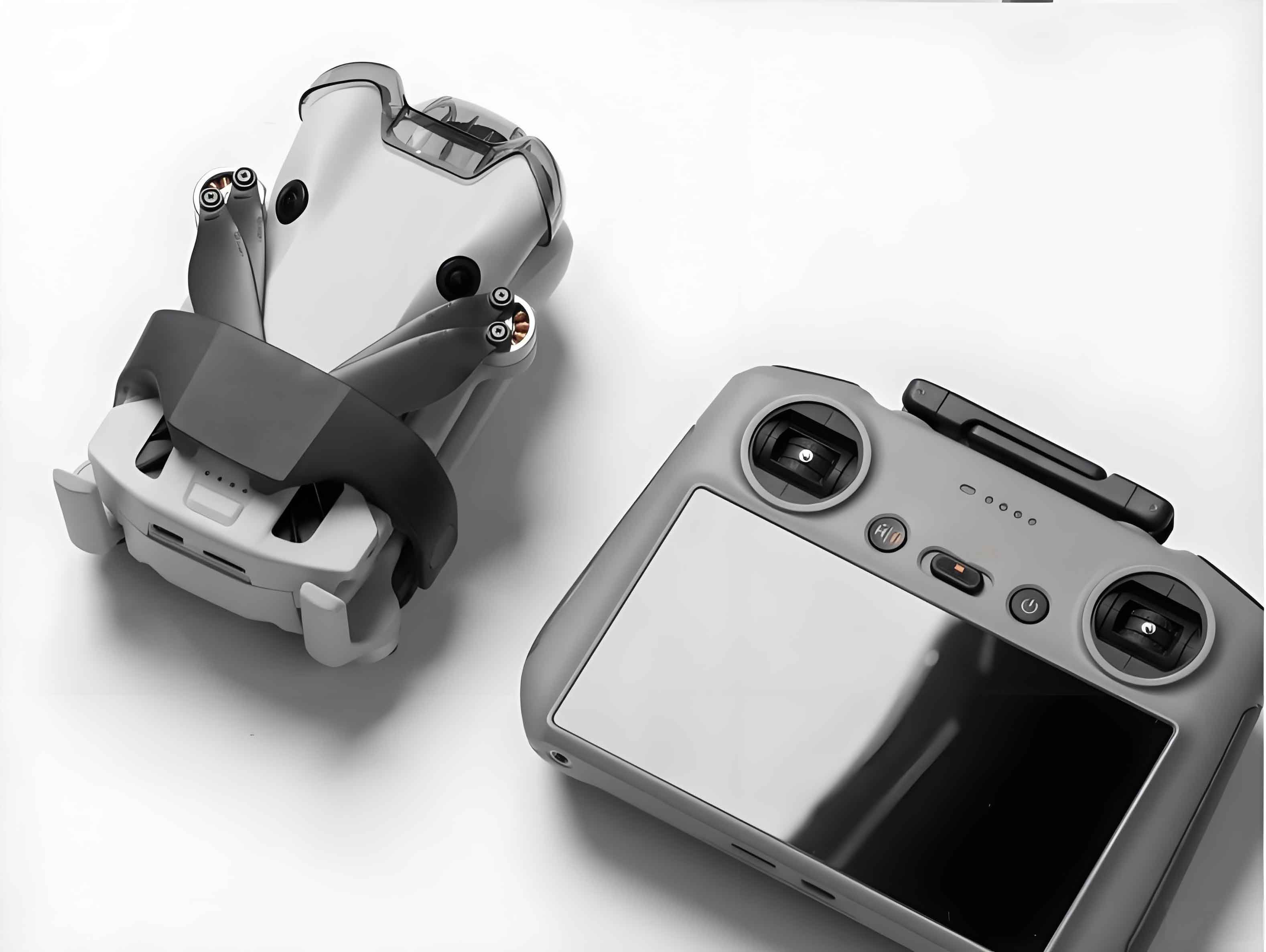
The choice of airframe for a camera drone is crucial and depends heavily on its intended mission profile. Factors like aerodynamic layout, payload capacity, endurance, stability at low speeds, and wind tolerance are paramount for low-altitude photography using a camera UAV. Five candidate airframes were evaluated, including conventional layouts, flying wings, twin-boom designs, and gliders. Rigorous field testing assessed stability (especially in gusty low-altitude conditions), payload volume, ease of control, and launch/recovery characteristics. The selected airframe, depicted in Figure 4, demonstrated superior performance for the low-altitude camera UAV role.
| Parameter | Value | Significance for Low-Altitude Camera UAV |
|---|---|---|
| Wingspan | 1700 mm | Provides good lift efficiency and stability. |
| Fuselage Length | 1050 mm | Adequate space for electronics and payload. |
| Wing Area | 0.465 m² | Determines wing loading and stall speed. |
| Empty Weight | 1200 g | Lightweight structure maximizes payload fraction. |
| Maximum Takeoff Weight (MTOW) | 5000 g | Defines total carrying capacity (airframe + payload + battery). |
| Max Payload Battery | 15000 mAh LiPo | Directly impacts endurance (T). |
| Typical Mission Weight | 2400 g | Optimized balance for performance. |
| Thrust-to-Weight Ratio (T/W) | 0.2:1 | Adequate for sustained flight and climb; optimized for efficiency over speed. |
| Endurance (Cruise) | ~20 minutes | Calculated based on battery capacity (C) and average current draw (I). |
| Wind Tolerance | < Level 5 | Capable of stable operation in moderate winds common at low altitudes. |
The endurance \( T \) of the camera drone is primarily governed by the battery capacity \( C \) (in mAh) and the average current consumption \( I \) (in mA) of the entire system during cruise flight. The relationship is given by:
$$ T \text{ (hours)} = \frac{C \text{ (mAh)}}{I \text{ (mA)}} $$
Expressing \( T \) in minutes and accounting for battery discharge efficiency (typically 80-90% for safe operation, represented by \( \eta \)) provides a practical estimate:
$$ T \text{ (minutes)} = \frac{C \text{ (mAh)} \times \eta \times 60}{I \text{ (mA)} \times 1000} = \frac{C \times \eta \times 0.06}{I} $$
For example, with a 15000mAh battery (\( C = 15000 \)), an efficiency factor \( \eta = 0.85 \), and an average cruise current \( I = 42500mA \) (42.5A):
$$ T = \frac{15000 \times 0.85 \times 0.06}{42.5} \approx \frac{765}{42.5} \approx 18 \text{ minutes} $$
This aligns with the observed ~20 minute cruise time, considering variations in flight conditions and power usage (e.g., camera operation, control inputs). This endurance is sufficient for typical low-altitude camera UAV survey or inspection sorties. The airframe’s inherent stability at low speeds is critical for obtaining clear, vibration-free imagery essential for the camera UAV’s primary function.
3. System Integration, Testing, and Applications
The low-altitude aerial photography camera drone system functions through the integrated operation of the described Airborne and Ground Subsystems. Lithium polymer (LiPo) batteries power both subsystems, enabling efficient reusability. Stringent Electromagnetic Compatibility (EMC) measures were implemented across all modules, including careful component placement, shielding, and filtering on power lines, to mitigate interference that could disrupt control signals or video transmission – a critical consideration for reliable camera UAV operation.
Safety protocols are paramount. The system incorporates a manual override capability: the pilot can instantly switch from autonomous mode (controlled by the Ground Control Computer via the Data Link) to direct manual control using the 2.4GHz RC transmitter at any time. This feature is essential for recovering the camera drone in unexpected situations like sudden obstacle avoidance, severe turbulence, or potential data link failure.
Extensive field testing validated the system’s performance. The camera UAV consistently demonstrated the ability to autonomously navigate predefined waypoint paths, accurately reaching designated geographical coordinates. During these missions, the Wireless A/V link provided stable, real-time transmission of high-quality video imagery from the camera drone back to the ground station operator. Simultaneously, telemetry data (GPS position, altitude, airspeed, battery voltage, etc.) was reliably received and displayed on the Ground Control Computer, enabling continuous mission monitoring and precise geotagging of captured imagery. The camera UAV’s stability in the challenging low-altitude environment directly contributed to the high clarity and resolution of the acquired aerial photographs.
The advantages of this low-altitude camera UAV system are clear:
- Cost Efficiency: Drastic reduction compared to manned aircraft or satellite imagery.
- Operational Flexibility & Accessibility: Rapid deployment, operation in complex or hazardous terrain inaccessible to larger aircraft.
- High-Resolution Output: Ability to capture detailed images due to low flight altitude and stabilized platforms.
- Safety: Removes personnel from potentially dangerous low-altitude flight environments.
- Rapid Data Acquisition: Quick turnaround for time-sensitive projects.
Consequently, the application scope for such camera drones is vast and expanding:
- Precision Agriculture: Crop health monitoring, irrigation management, yield prediction.
- Infrastructure Inspection: Detailed assessment of power lines, pipelines, bridges, wind turbines, and solar farms.
- Surveying & Mapping: Creation of high-resolution orthomosaics, digital elevation models (DEMs), and 3D models for construction, mining, and land management.
- Environmental Monitoring: Tracking wildlife, assessing vegetation, monitoring erosion, and pollution detection.
- Disaster Response: Rapid assessment of damage after floods, earthquakes, or fires for efficient resource allocation.
- Cinematography & Media: Providing dynamic aerial shots for film, television, and news reporting.
- Archaeology & Cultural Heritage: Documenting sites and creating detailed site plans.
Future developments will focus on enhancing camera UAV autonomy (e.g., advanced obstacle avoidance using AI), improving endurance through better battery technology or hybrid power systems, refining image processing for real-time analytics, and developing more robust and secure communication links for beyond visual line of sight (BVLOS) operations. The integration of multispectral or thermal cameras will further broaden the application potential of low-altitude camera drones across scientific and industrial fields. The presented system provides a robust foundation for reliable and effective low-altitude aerial photography, demonstrating the maturity and utility of modern camera UAV technology.