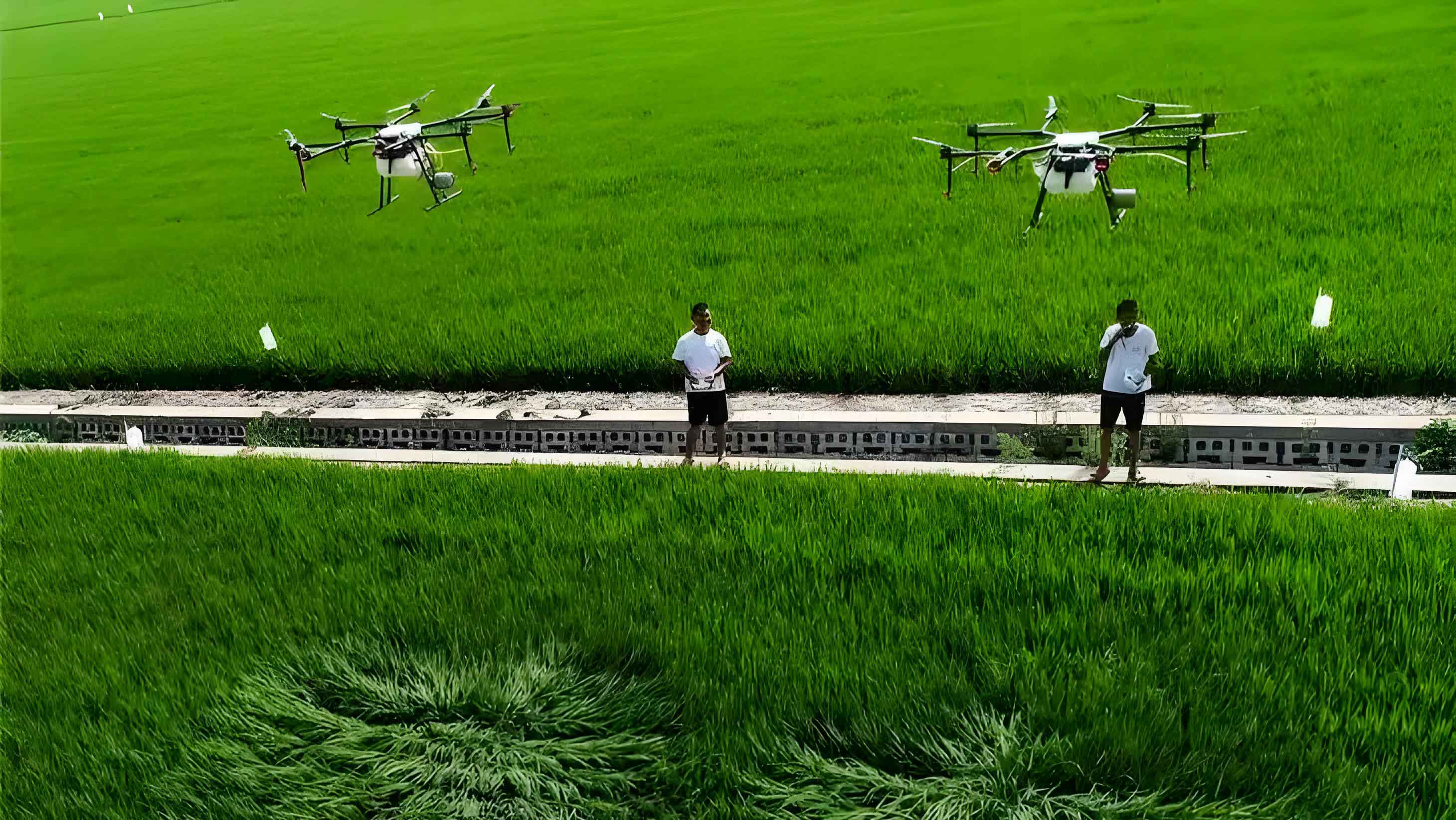
The evolution of modern agriculture is inextricably linked to the advancement of precision technologies. Among these, intelligent Unmanned Aerial Vehicles (UAVs) for plant protection have emerged as a transformative force, marking a significant shift towards data-driven, efficient, and sustainable farming practices. As a researcher deeply involved in the integration of machine vision and artificial intelligence into agricultural systems, I view the agricultural UAV not merely as a spraying tool but as a sophisticated aerial robotic platform. It embodies the convergence of aeronautics, sensing, decision-making, and precise actuation. This platform is redefining traditional crop management by enabling targeted interventions at an unprecedented scale and resolution, particularly in topographically challenging regions where conventional machinery falters. The core value proposition lies in its ability to minimize input waste, reduce environmental footprint, and maximize crop health outcomes through a suite of integrated key technologies.
The operational paradigm of a smart agricultural UAV is built upon a closed-loop system of perception, analysis, and execution. It begins with high-fidelity data collection about the crop and its environment, proceeds to intelligent analysis for diagnosing status and prescribing action, and culminates in the precise delivery of agrochemicals. This end-to-end automation, requiring minimal human intervention for routine tasks, represents the pinnacle of field robotics in agriculture. The following sections will dissect the critical technological pillars enabling this capability and explore their practical implementation across diverse agronomic scenarios.
1. Core Technological Pillars of Intelligent Agricultural UAVs
1.1 Navigation and Positioning: The Foundation of Precision
Accurate and reliable positioning is the non-negotiable foundation for any automated field operation. Modern agricultural UAV platforms have moved beyond standard Global Navigation Satellite System (GNSS) to adopt high-precision solutions. In our deployments, the integration of China’s BeiDou Navigation Satellite System (BDS) with Real-Time Kinematic (RTK) correction services has been pivotal. This fusion achieves centimeter-level positioning accuracy, which is critical for executing repeatable, precise flight paths.
The positional error $$ \epsilon_{pos} $$ of a standard GNSS receiver can be in the range of several meters. The RTK technique, using a fixed base station to calculate correction data for a mobile rover (the UAV), drastically reduces this error. The enhanced accuracy $$ \epsilon_{RTK} $$ can be modeled as a function of base-line length and atmospheric conditions, but typically achieves:
$$ \epsilon_{RTK} \leq 0.02 \, \text{m} $$
This order-of-magnitude improvement, often exceeding an 80% reduction in error compared to standalone GPS, is what enables ultra-precise operations. For instance, in terraced rice fields, the UAV can autonomously follow contour lines with a lateral deviation of less than 0.5 meters. This ensures uniform chemical application across complex topography, eliminating the “missed spots” common in manual spraying. Furthermore, the BeiDou system’s unique short message communication capability provides a critical backup for operational data telemetry in remote areas lacking cellular coverage, ensuring traceability and supervision throughout the mission.
1.2 Sensing and Perception: The Eyes of the UAV
To move from blind, uniform application to seeing and variable treatment, agricultural UAV are equipped with a suite of advanced sensors. This creates a multi-modal perception system for holistic field assessment.
Multispectral and Hyperspectral Imaging: This is the primary tool for crop health assessment. Sensors capture reflected radiation at specific, narrow wavelength bands beyond visible light. A common configuration involves five bands: Blue (B, ~475 nm), Green (G, ~560 nm), Red (R, ~650 nm), Red Edge (RE, ~735 nm), and Near-Infrared (NIR, ~840 nm). From these bands, vegetative indices are computed. The most fundamental is the Normalized Difference Vegetation Index (NDVI), calculated as:
$$ \text{NDVI} = \frac{\text{NIR} – \text{R}}{\text{NIR} + \text{R}} $$
NDVI values range from -1 to 1, with healthy vegetation exhibiting high values (typically 0.6 to 0.9). Stress from disease, pests, or nutrient deficiency causes a decrease in NIR reflectance and an increase in R reflectance, lowering the NDVI value. Advanced analytics can detect such changes 3-5 days before they become visible to the human eye, enabling proactive management.
LiDAR (Light Detection and Ranging): While optical sensors assess health, LiDAR measures structure. It emits laser pulses and measures the time for their return to create detailed 3D point clouds of the crop canopy. This allows the agricultural UAV to perceive canopy height, density, and terrain profile underneath the foliage. This data is crucial for: 1) Maintaining an optimal, constant spray height above the canopy regardless of underlying terrain, and 2) Adjusting application rates based on canopy volume, a more accurate metric than ground area.
Machine Vision: RGB cameras coupled with real-time object detection algorithms (like Convolutional Neural Networks – CNNs) can identify specific weed species, insect infestations, or fruit for targeted spraying or yield estimation. This complements the broader-scale health data from spectral sensors.
| Sensor Type | Primary Data | Key Derived Metrics | Primary Application in UAVs |
|---|---|---|---|
| Multispectral Imager | Reflectance at discrete bands (e.g., B, G, R, RE, NIR) | NDVI, NDRE, Chlorophyll Index | Crop health monitoring, stress detection, variable-rate prescription mapping. |
| LiDAR | 3D Point Cloud (x, y, z coordinates) | Canopy Height Model (CHM), Canopy Volume, Terrain Model | Terrain-following flight, canopy-adaptive spraying, biomass estimation. |
| RGB Camera (Vision) | High-resolution visible-light images | Weed/Insect identification counts, Fruit detection | Target-specific spraying, precision harvesting guidance, phenotyping. |
1.3 Intelligent Control System: The Brain for Decision-Making
The data from sensors is meaningless without a system to interpret it and act. The intelligent control system is the “brain” of the agricultural UAV. It typically operates on a ground station computer or an onboard edge computing device (e.g., NVIDIA Jetson).
Its core function is to transform georeferenced sensor data into an actionable “prescription map.” This map divides the field into management zones and assigns a specific application rate (e.g., ml/ha of pesticide, g/ha of fertilizer) to each zone. The decision logic often involves threshold-based rules or more complex machine learning models. For example, a simple rule for fungicide application could be:
$$ \text{Rate}_i = \begin{cases}
R_{high} & \text{if } \text{NDVI}_i < T_{low} \\
R_{medium} & \text{if } T_{low} \leq \text{NDVI}_i \leq T_{high} \\
R_{low} & \text{if } \text{NDVI}_i > T_{high}
\end{cases} $$
Where \( \text{Rate}_i \) is the application rate for zone \( i \), \( \text{NDVI}_i \) is the average NDVI for that zone, and \( T_{low} \), \( T_{high} \) are disease severity thresholds. More advanced systems use CNN models trained on thousands of labeled images to directly identify and classify specific diseases, triggering customized chemical cocktails.
This system also handles critical flight logistics: optimal path planning to minimize turn-around time and energy use, dynamic obstacle avoidance using vision or other sensors, and “break-point continuation” – the ability to resume spraying exactly where it left off after an interruption (e.g., for battery swap), with a precision error of less than 0.3 meters.
1.4 Precision Spraying System: The Final Actuator
All planning and sensing culminate in the act of spraying. The precision of the overall agricultural UAV system is ultimately bounded by the performance of its spraying system. Key advancements here focus on improving droplet spectrum control and deposition efficiency.
Droplet Size Control: Centrifugal atomizers or pressure-controlled nozzles allow operators to select a droplet size (Volume Median Diameter – VMD) suitable for the target and weather conditions. Larger droplets (150-300 μm) are less prone to drift but may not penetrate dense canopies. Smaller droplets (80-150 μm) offer better coverage and penetration but require calm conditions. Advanced systems dynamically adjust parameters like pump pressure \( P \) and rotary disc speed \( \omega \) in real-time based on flight speed \( v \) and wind data to maintain a consistent VMD.
Electrostatic Charging: This is a game-changing technology for improving adhesion. Droplets are given a negative electrostatic charge as they are formed. The positively charged plant surfaces (a common phenomenon) then attract these droplets, significantly increasing deposition on the underside of leaves and other hard-to-reach areas. Studies show this can increase deposition on leaf abaxial surfaces by over 60% and improve chemical utilization rates dramatically.
Variable-Rate Technology (VRT): The control system modulates the flow rate from the spray system in real-time as the UAV traverses the prescription map. The flow rate \( Q \) is a function of the prescribed rate \( R_{pres} \) and the instantaneous ground speed \( v_{gnd} \):
$$ Q = \frac{R_{pres} \cdot W_{swath}}{60000} \cdot v_{gnd} $$
where \( Q \) is in ml/min, \( R_{pres} \) in ml/ha, \( W_{swath} \) is the effective spray width in meters, and \( v_{gnd} \) in m/s.
| Performance Indicator | Intelligent Agricultural UAV | Traditional Manual/Sprayer | Improvement |
|---|---|---|---|
| Operational Efficiency | Up to 150 hectares per hour per unit | Approximately 0.3-0.5 hectares per hour per person | 300-500x faster |
| Chemical Utilization Rate | 75% – 85% | 30% – 40% | +45 percentage points |
| Chemical Usage per Hectare | Reduced by 30% – 50% | Baseline reference | Significant reduction |
| Water Consumption | ~15-30 Liters/hectare (Ultra-Low Volume) | ~300-600 Liters/hectare | ~95% reduction |
| Ability for Precise Variable-Rate Application | Yes, based on sensor data | No, uniform application only | Fundamental new capability |
2. Practical Application Scenarios and Validated Outcomes
The integration of these technologies unlocks a wide array of applications that extend far beyond simple blanket pesticide spraying.
2.1 Targeted Pest and Disease Control in Major Crops
This is the most established application. The process involves: 1) Pre-flight or in-flight multispectral scanning to create a health/vigor map, 2) Generation of a prescription map highlighting zones of stress, 3) Execution of a variable-rate fungicide/insecticide application.
Case – Rice Blast Disease: In rice cultivation, early detection of blast is critical. A UAV-mounted sensor detects subtle changes in the red-edge and near-infrared bands, calculating indices like NDVI. Zones with NDVI below a calibrated threshold are flagged. The agricultural UAV then applies a higher dose of fungicide specifically to these zones, while reducing or skipping application in healthy areas. Documented results show disease control efficacy remaining above 95% while reducing total fungicide volume by 30-40%.
Case – Orchard Disease Management: In citrus orchards, detecting diseases like canker early is challenging. UAVs equipped with high-resolution multispectral sensors can identify infected trees. The intelligent system then commands a targeted, higher-volume spray towards infected tree clusters. This “focus fire” approach contains outbreaks and minimizes chemical use across the entire orchard.
2.2 Foliar Fertilization and Growth Regulator Application
Agricultural UAV excel at applying liquid fertilizers (micronutrients, urea solutions) and plant growth regulators (PGRs) with high uniformity and timing precision.
Nitrogen Top-Dressing: Spectral indices are strongly correlated with leaf nitrogen content. By creating an in-season nitrogen status map, the UAV can perform variable-rate foliar nitrogen application, delivering more to deficient areas and less to sufficient ones. This boosts Nitrogen Use Efficiency (NUE) from around 40% with ground application to over 60%, directly translating to higher yield and grain quality.
Growth Regulation: Applying PGRs like gibberellins or cytokinins via UAV ensures extremely even coverage, which is crucial for achieving uniform fruit size and maturity. In orchards and vineyards, this leads to a higher percentage of premium-grade produce and more synchronized harvests.
2.3 Protection of Non-Cropland Ecosystems: Grasslands and Forests
The mobility of the agricultural UAV is a major asset in large-scale, difficult-to-access ecosystems.
Grassland Locust Control: In vast grassland areas, UAVs are used for rapid reconnaissance and suppression of locust swarms. They can quickly map infestation hotspots using visible or multispectral cameras and then apply ultra-low-volume insecticide precisely over those areas, minimizing environmental impact compared to broad-area aerial spraying from manned aircraft.
Forest Pest Management: For forest diseases like pine wilt, UAVs offer a multi-role platform. They can first conduct large-area surveys using high-resolution cameras to identify individual infected (discolored) trees. Subsequently, they can be used for precise insecticide application over the canopy of infected zones or even to deploy biocontrol agents. This targeted approach is far more efficient and ecologically sound than blanket treatments.
| Application Scenario | Core Technology Stack | Key Operational Parameters | Documented Efficacy & Outcome |
|---|---|---|---|
| Rice Blast Control | Multispectral Diagnosis + VRT | 5-band sensor; 2 cm RTK; 0.45 MPa pressure; 120 μm VMD | Chemical use reduced by 38%; Control efficacy >98%. |
| Citrus Canker Management | Vision/LiDAR + Electrostatic Spraying | CNN disease ID; 30 kV electrostatic charge; 80 μm VMD | Disease incidence <6%; Premium fruit rate increased to >89%. |
| Rice Foliar Nitrogen | Spectral N-Model + Pressure Control | Leaf N prediction error ±0.12%; 0.3 MPa pressure | NUE increased to 62%; 1000-grain weight increased by ~5%. |
| Grassland Locust Suppression | Hotspot Mapping + ULV Spraying | 400-1000 nm hyperspectral; 50 μm VMD; 1.8 L/ha rate | Locust density reduced from 20/m² to <1/m²; 3x faster than ground teams. |
| Forest Pest Monitoring & Control | Satellite-UAV-Ground Sensor Fusion | 10 m satellite resolution; UAV LiDAR for tree-level ID | Disease spread rate reduced by >70%; Timber loss reduced by ~70%. |
3. Conclusion and Future Trajectory
The intelligent agricultural UAV has firmly established itself as a cornerstone technology for precision agriculture and green development. By synergizing centimeter-accurate navigation, multi-modal remote sensing, AI-powered decision intelligence, and advanced spraying mechanics, it delivers a step-change improvement in the precision, efficiency, and sustainability of crop protection and nutrition management. The economic and environmental benefits are quantifiable and significant: drastic reductions in chemical and water inputs, higher resource use efficiency, improved crop quality and yield, and lowered operator exposure to hazardous chemicals.
The future development of agricultural UAV technology will focus on several frontiers. Enhanced Autonomy and Swarm Intelligence: Moving beyond single-unit operations to coordinated fleets (swarms) that can collaboratively map and treat large fields efficiently. Advanced Onboard AI: Deploying more powerful, lightweight edge AI processors to enable real-time, in-flight processing of complex sensor data (e.g., instant disease identification) without reliance on cloud connectivity. Integration with the Digital Farm: The agricultural UAV will act as a primary data collection node, seamlessly feeding information into Farm Management Information Systems (FMIS) and contributing to a continuously updated “digital twin” of the farm. New Application Modalities: Beyond spraying, UAVs will be used for precision seeding, pollination, and physical pest control (e.g., laser weeding).
In conclusion, the intelligent agricultural UAV is more than just a tool; it is a platform ushering in a new era of cognitive farming. It embodies the shift from treating entire fields uniformly to managing individual plants or small zones based on their specific needs. As the technology continues to mature and become more accessible, it will play an indispensable role in meeting the dual challenges of global food security and environmental stewardship, solidifying its position as a key driver in the intelligent transformation of agricultural mechanization.