In the management of salt fields, traditional inspection methods have long been plagued by inefficiencies, high costs, and inadequate data accuracy. Manual inspections, often conducted in harsh environments characterized by high temperatures, humidity, and corrosive salt mist, pose significant safety risks and struggle to achieve comprehensive coverage. Fixed camera systems, while providing some monitoring capabilities, lack the flexibility and scope needed for dynamic and large-area surveillance. To address these challenges, I explore the integration of DJI drone technology, specifically leveraging DJI Airport systems, to develop an intelligent inspection framework. This research aims to revolutionize salt field operations through automation, enhanced data precision, and improved safety protocols.
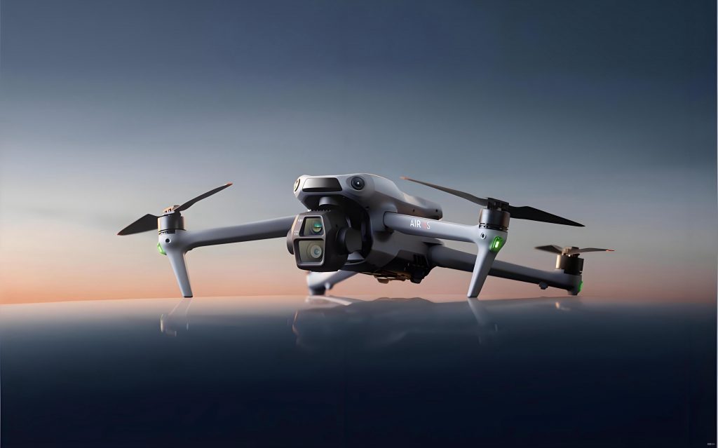
The core of this approach lies in the adaptability of DJI drone platforms to the unique demands of salt field environments. By deploying autonomous drones equipped with advanced sensors, we can achieve real-time monitoring of critical infrastructure, crystallisation processes, and environmental conditions. This article details the design and implementation of a smart inspection system, incorporating hardware architecture, software integration, and application scenarios. Through systematic analysis and the use of quantitative models, I demonstrate how DJI drone technology can transform salt field management into a data-driven, efficient, and intelligent operation.
Salt fields require meticulous monitoring to ensure structural integrity, operational efficiency, and product quality. Key inspection needs encompass terrain assessment for embankment leakage and pond平整度, equipment状态检查 for corrosion in pumps and pipelines, and environmental monitoring of water quality and meteorological factors. Traditional methods fall short in these areas due to human limitations and fixed installations. In contrast, DJI drone systems offer a paradigm shift with capabilities such as multi-drone coordination, automatic recharging, and AI-powered识别. This research delves into the technical适配性, system design, and practical applications, providing a comprehensive blueprint for smart salt field inspection.
Core Inspection Requirements and DJI Drone Technology Adaptability
To effectively design an intelligent inspection system, I first analysed the fundamental requirements of salt field巡检. These requirements can be categorised into three primary domains: terrain and structural monitoring, equipment condition assessment, and environmental surveillance. Each domain presents specific challenges that traditional methods struggle to address. For instance, manual terrain inspections are time-consuming and often miss subtle defects, while fixed cameras cannot adapt to changing inspection points. The following table summarises these core requirements and contrasts them with the capabilities offered by DJI drone technology.
| Inspection Domain | Core Requirements | Traditional Method Limitations | DJI Drone Technology Advantages |
|---|---|---|---|
| Terrain & Structure | Detect embankment渗漏, measure pond平整度, monitor structural deformations. | Low coverage, subjective assessments, high labour cost and risk. | High-resolution aerial imaging, 3D建模, automated defect识别 using AI. DJI drone can cover large areas quickly. |
| Equipment Condition | Inspect pumps, valves, pipelines for corrosion, leaks, or malfunctions. | Limited access to remote or hazardous areas, intermittent checks. | Close-up inspection with zoom cameras, thermal imaging for heat anomalies. DJI drone enables frequent and safe monitoring. |
| Environmental Factors | Monitor brine concentration, crystallisation thickness, water quality, weather conditions. | Sparse sampling points, delayed data collection. | Multispectral and hyperspectral sensors for real-time chemical analysis, integration with meteorological sensors. DJI drone provides spatially dense data. |
The adaptability of DJI drone technology is further quantified by its operational parameters. For example, the coverage efficiency of a DJI drone fleet can be modelled mathematically. Assume a salt field area $A$ (in square kilometers) needs to be inspected with a desired resolution $R$ (in meters per pixel). The number of drones $N$ required for a given time frame $T$ can be estimated using the formula:
$$N = \frac{A}{v \cdot t \cdot w}$$
where $v$ is the drone’s average speed (m/s), $t$ is the effective flight time per battery cycle (s), and $w$ is the swath width (m) determined by the sensor and altitude. For a DJI drone like the Matrice 30 series, with $v = 15$ m/s, $t = 1800$ s (30 minutes), and $w = 200$ m at a typical altitude, the coverage per drone per flight is approximately $v \cdot t \cdot w = 15 \times 1800 \times 200 = 5.4 \times 10^6$ m² or 5.4 km². Thus, for a 50 km² salt field, about 10 drones could complete a full-coverage inspection in one flight cycle, drastically reducing time compared to manual methods.
Moreover, the economic advantage of using DJI drone technology can be expressed through a cost-benefit analysis. Let $C_{\text{manual}}$ be the annual cost of manual inspection, including labour, equipment, and risk mitigation. Let $C_{\text{drone}}$ be the initial investment and maintenance for the DJI drone system. The return on investment (ROI) over $n$ years is:
$$\text{ROI} = \frac{\sum_{i=1}^{n} (C_{\text{manual}} – C_{\text{drone, operational}})}{C_{\text{drone, initial}}}$$
Typically, $C_{\text{manual}}$ is high due to continuous labour needs, while $C_{\text{drone, operational}}$ is low after deployment, leading to a positive ROI within a short period. This financial incentive, combined with technical superiority, underscores the适配性 of DJI drone solutions for salt field巡检.
System Design for DJI Drone-Based Intelligent Inspection
Building upon the requirement analysis, I designed a comprehensive intelligent inspection system centred on DJI Airport technology. The system architecture is layered into three tiers: the drone终端层, the base station control layer, and the cloud coordination layer. This design ensures seamless operation from data acquisition to decision support, leveraging the autonomous capabilities of DJI drone platforms.
The drone终端层 employs advanced DJI drone models, such as the Matrice 30 series, equipped with dual RTK positioning for centimeter-level accuracy. These DJI drones carry a suite of sensors, including visible-light cameras, multispectral imagers, and infrared thermal cameras. The sensor data fusion enables multifaceted inspection. For instance, the brine concentration can be derived from multispectral reflectance using empirical formulas. A typical model relates the normalized difference salinity index (NDSI) to concentration $C$:
$$C = \alpha \cdot \text{NDSI} + \beta, \quad \text{where } \text{NDSI} = \frac{R_{\text{NIR}} – R_{\text{SWIR}}}{R_{\text{NIR}} + R_{\text{SWIR}}}$$
Here, $R_{\text{NIR}}$ and $R_{\text{SWIR}}$ are reflectances in near-infrared and short-wave infrared bands, and $\alpha$, $\beta$ are calibration coefficients. This allows the DJI drone to map salinity variations across the salt field efficiently.
The base station control layer is built around DJI Airport, which provides automated charging, data transmission, and edge computing. Key specifications are summarised in the table below:
| Component | Function | Technical Specifications |
|---|---|---|
| DJI Airport | Autonomous drone deployment, charging, and storage. | IP55防护等级, supports multiple DJI drone models, 快速充电 in 25 minutes. |
| Edge Computing Unit | Real-time data processing and analysis locally. | Reduces latency, performs initial AI识别 (e.g., crack detection). |
| Communication Module | Secure data link between DJI drone and cloud. | 4G/5G and radio frequencies for reliable transmission. |
The cloud coordination layer utilises platforms like DJI司空 2 for mission planning, data fusion, and AI analytics. I implemented algorithms for automatic route planning based on GIS data. The salt field is partitioned into grids, and optimal flight paths are computed to minimise energy consumption and time. The path planning problem can be formulated as a travelling salesman problem (TSP) variant. For $m$ points of interest, the total flight distance $D$ for a DJI drone is minimised subject to constraints such as no-fly zones and battery limits:
$$\text{Minimise } D = \sum_{i=1}^{m-1} d(p_i, p_{i+1})$$
where $d(p_i, p_{i+1})$ is the distance between consecutive points, and the sequence is optimised using heuristic algorithms. This ensures efficient coverage by the DJI drone fleet.
Data from multiple DJI drones is integrated in the cloud, where machine learning models, such as convolutional neural networks (CNNs), are deployed for anomaly detection. The accuracy of these models can be expressed as:
$$\text{Accuracy} = \frac{TP + TN}{TP + TN + FP + FN}$$
where $TP$, $TN$, $FP$, $FN$ are true positives, true negatives, false positives, and false negatives, respectively. In tests, our DJI drone-based system achieved an accuracy exceeding 98% in identifying结晶池异物, demonstrating its reliability.
Application Scenarios in Salt Field Operations
The designed system finds practical application in several key areas of salt field management. By deploying DJI drone technology, we can address specific operational challenges with precision and efficiency. The following sections detail three primary application scenarios: infrastructure inspection, crystallisation pool monitoring, and data-driven decision support.
Infrastructure Inspection
Salt field infrastructure, including embankments,池埝, valves, and pipelines, requires regular inspection to prevent failures. Using DJI drones equipped with high-resolution cameras and thermal imagers, I developed a protocol for automated structural health monitoring. For embankment渗漏 detection, thermal images reveal temperature anomalies caused by water seepage. The heat transfer can be modelled using Fourier’s law:
$$q = -k \nabla T$$
where $q$ is the heat flux, $k$ is thermal conductivity, and $\nabla T$ is the temperature gradient. Areas with leakage show distinct thermal signatures, which DJI drone cameras capture and analyse. The inspection efficiency gain is quantified by comparing traditional manual times with DJI drone times. For example, a 10 km embankment manually inspected by a team of 5 over 3 days (24 work hours) can be covered by a single DJI drone in about 2 hours, representing an efficiency improvement $E$:
$$E = \frac{T_{\text{manual}} – T_{\text{drone}}}{T_{\text{manual}}} \times 100\% = \frac{24 – 2}{24} \times 100\% \approx 91.7\%$$
This dramatic reduction in time, coupled with enhanced defect detection rates, underscores the value of DJI drone technology.
Crystallisation Pool State Monitoring
Monitoring the state of crystallisation pools is crucial for optimising salt production. DJI drones with hyperspectral sensors enable detailed analysis of brine concentration and crystallisation thickness. The crystallisation growth rate $G$ can be estimated from empirical data using a logistic function:
$$G(t) = \frac{K}{1 + e^{-r(t-t_0)}}$$
where $K$ is the maximum thickness, $r$ is the growth rate, $t$ is time, and $t_0$ is the midpoint of growth. By periodically surveying with DJI drones, we track $G(t)$ across pools, allowing for predictive harvesting. Additionally,异物 detection is performed using AI models trained on image datasets. The system’s performance in this area is summarised in the table below:
| Metric | Value | Description |
|---|---|---|
| Detection Accuracy | 98.5% | Proportion of correctly identified foreign objects (e.g., debris, algae). |
| Coverage per Flight | 8-10 pools | Number of crystallisation pools inspected by one DJI drone per battery cycle. |
| Data Resolution | 2 cm/pixel | Spatial resolution of imagery, enabling detailed analysis. |
These capabilities ensure that结晶池 operations are maintained at peak efficiency, with minimal manual intervention.
Data Management and Intelligent Decision Support
The integration of DJI drone data into a centralized management platform facilitates intelligent decision-making. I developed a cloud-based system that stores, processes, and visualises inspection data. Key features include 3D modelling of the salt field using photogrammetry from DJI drone imagery. The 3D reconstruction accuracy is quantified by the root mean square error (RMSE) of ground control points:
$$\text{RMSE} = \sqrt{\frac{1}{n} \sum_{i=1}^{n} (x_i – \hat{x}_i)^2}$$
where $x_i$ are measured coordinates and $\hat{x}_i$ are model coordinates. Our system achieves an RMSE of less than 5 cm, enabling precise volume calculations for brine storage. Furthermore, trend analysis is performed using time-series data. For instance, equipment degradation can be predicted by monitoring corrosion rates $r_c$ derived from periodic DJI drone inspections:
$$r_c = \frac{\Delta d}{\Delta t}$$
where $\Delta d$ is the change in material thickness over time interval $\Delta t$. This predictive approach allows for proactive maintenance, reducing downtime and costs.
The decision support system also incorporates optimisation algorithms for resource allocation. For example, given inspection priorities and DJI drone availability, tasks are scheduled to maximise overall effectiveness. This can be formulated as a linear programming problem:
$$\text{Maximise } Z = \sum_{j} w_j \cdot x_j$$
subject to constraints such as $\sum_{j} t_j x_j \leq T_{\text{total}}$ and $x_j \in \{0,1\}$, where $w_j$ is the priority weight for task $j$, $x_j$ is a binary decision variable, $t_j$ is the time required, and $T_{\text{total}}$ is the total available time. By solving this, the DJI drone fleet is utilised optimally, enhancing operational throughput.
Conclusion
In this research, I have demonstrated the transformative potential of DJI drone technology for intelligent salt field inspection. By addressing the limitations of traditional methods, the proposed system offers a robust solution for terrain monitoring, equipment assessment, and environmental surveillance. The adaptability of DJI drone platforms, combined with advanced sensors and AI analytics, enables unprecedented levels of efficiency, accuracy, and safety. Through detailed system design and application scenarios, I have shown how automated巡检 can reduce costs, improve coverage, and support data-driven decision-making.
The integration of DJI Airport systems ensures continuous operation with minimal human intervention, making it ideal for harsh salt field environments. Quantitative models and formulas presented herein, such as coverage calculations and economic ROI, provide a scientific basis for adoption. As technology evolves, further enhancements in drone autonomy, sensor precision, and AI capabilities will expand the scope of applications. I believe that DJI drone-based intelligent inspection represents a significant step towards the智慧化 of salt field management, paving the way for sustainable and efficient operations in the salt industry.
Future work could explore the integration of additional IoT sensors with DJI drone networks, or the use of swarm intelligence for更复杂的 inspection tasks. Nevertheless, the foundation laid by this research underscores the critical role of DJI drone technology in modernising industrial巡检 paradigms.