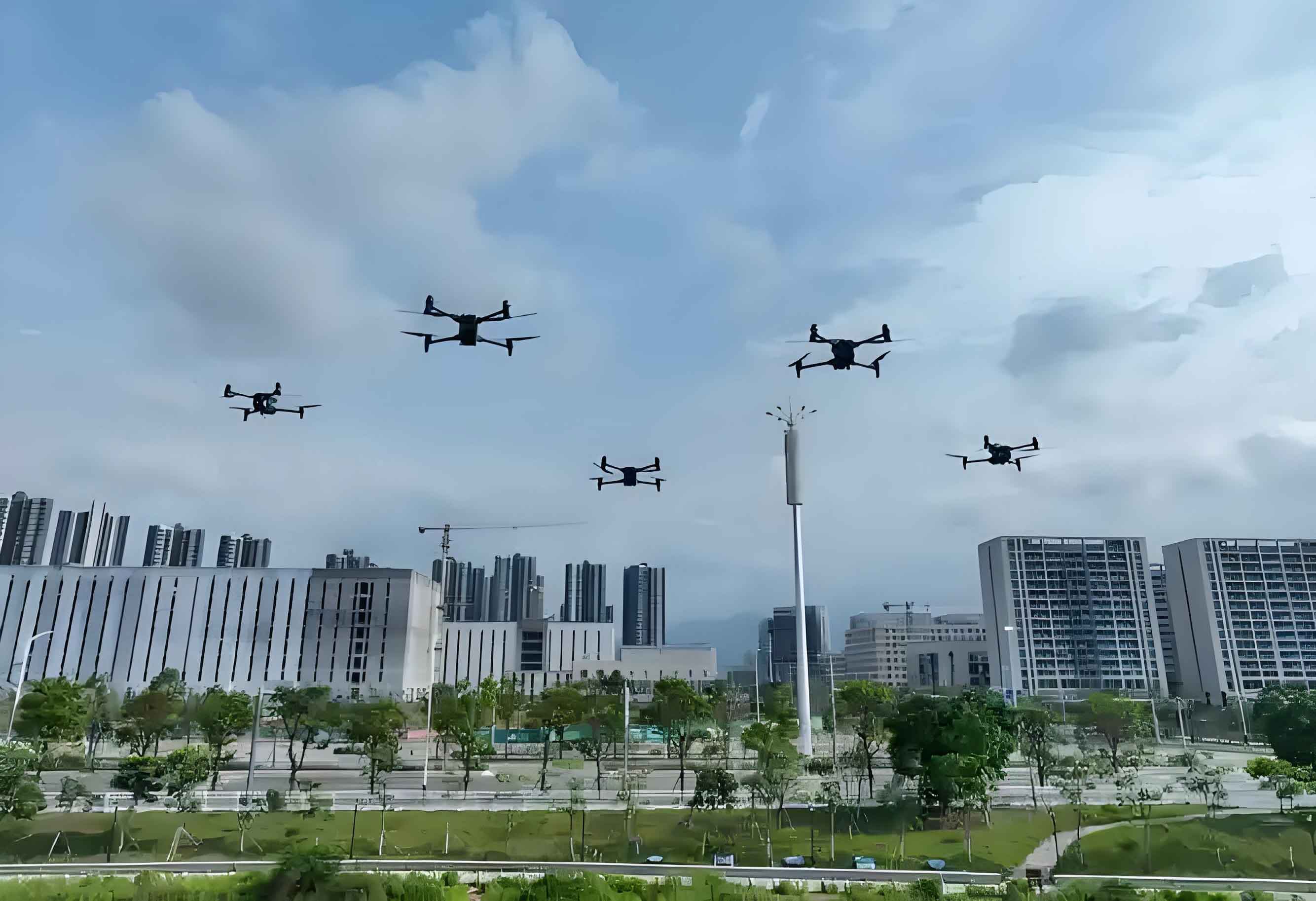
Unmanned aerial vehicle (UAV) technology has revolutionized sectors like surveying, logistics, and emergency response. However, low altitude drone swarms face complex communication challenges in congested airspaces. Conventional wireless systems struggle with reliability and latency, hindering real-time coordination. The fusion of 5G’s high-speed connectivity and AI’s decision-making capabilities offers transformative solutions. We explore this synergy below.
Research Background
5G and AI: Technological Foundations
5G delivers unprecedented advantages for low altitude UAV networks:
- Speed: 20Gbps peak rates (20× faster than 4G), enabling HD video streaming from drones.
- Latency: 1ms delays ensure instantaneous swarm responses.
- Density: Supports 1 million devices/km², critical for large-scale drone deployments.
AI complements this through machine learning (ML) and deep neural networks (DNNs). DNNs analyze flight/communication data to optimize trajectories and mitigate interference. Reinforcement learning enables autonomous decisions in dynamic environments.
| Parameter | 4G | 5G (for Low Altitude UAVs) |
|---|---|---|
| Max Data Rate | 1 Gbps | 20 Gbps |
| Latency | 30-50 ms | 1 ms |
| Device Density | 100,000/km² | 1,000,000/km² |
Intelligent Cooperation: Operational Necessity
Low altitude drone swarms require coordinated decision-making. In logistics, UAVs share payload, battery, and positioning data to dynamically reroute. Without AI-driven cooperation, signal blockages from buildings or weather cause failures. For emergency response, delayed data transmission due to poor coordination risks lives during disasters. AI-5G fusion ensures real-time situational awareness.
5G-AI Fusion Mechanisms for Low-Altitude Drone Swarms
AI-Based Dynamic Spectrum Allocation
Urban low altitude UAV operations face severe spectrum scarcity. AI predicts idle bands using historical data, weather, and device distribution. DNNs forecast spectral gaps, allocating resources proactively. Spectrum sensors on drones feed real-time data to edge nodes. If interference arises, AI triggers instant frequency switching. The optimization objective minimizes congestion:
$$ \text{Minimize } \sum_{t=1}^{T} \left( \sum_{i=1}^{N} B_i(t) \cdot I_i(t) \right) $$
Where \(B_i(t)\) is bandwidth demand for drone \(i\) at time \(t\), and \(I_i(t)\) denotes interference.
Distributed Cooperative Positioning
GPS-denied environments (e.g., forests) challenge low altitude UAV navigation. Drones fuse UWB/Bluetooth-derived relative positions with visual landmarks using Kalman Filters:
$$ \hat{\mathbf{x}}_{k|k} = \hat{\mathbf{x}}_{k|k-1} + \mathbf{K}_k (\mathbf{z}_k – \mathbf{H} \hat{\mathbf{x}}_{k|k-1}) $$
Here, \(\hat{\mathbf{x}}\) is the state estimate, \(\mathbf{K}_k\) is the Kalman gain, and \(\mathbf{z}_k\) denotes measurements. 5G rapidly shares corrected coordinates across swarms.
Deep Learning-Based Anti-Jamming Communication
Electromagnetic interference in cities disrupts low altitude drone links. CNNs classify jamming signals using time-frequency features:
$$ y = \sigma \left( \mathbf{W}^T \cdot \text{ReLU}(\mathbf{W}_h^T \mathbf{x} + \mathbf{b}_h) + b \right) $$
Trained on diverse jamming types (narrowband, pulsed), models trigger adaptive countermeasures like modulation switching. In urban patrols, this maintains >95% signal integrity.
| Jamming Type | Detection Accuracy | Mitigation Action |
|---|---|---|
| Narrowband | 98.2% | Frequency hopping |
| Broadband | 94.7% | Spread spectrum |
| Pulsed | 96.5% | Time-division avoidance |
5G Edge Computing-Assisted Task Allocation
Edge nodes compute optimal task assignments using drone capabilities (battery, sensors) and mission goals. For security monitoring, linear programming maximizes coverage:
$$ \begin{aligned}
\text{Maximize } & \sum_{j=1}^{M} c_j x_j \\
\text{subject to } & \sum_{j=1}^{M} a_{ij} x_j \leq b_i \quad \forall i \\
& x_j \in \{0,1\}
\end{aligned} $$
Here, \(c_j\) is coverage value, \(a_{ij}\) represents resource usage, and \(b_i\) is capacity. High-endurance UAVs monitor high-risk zones, while agile units scan peripheries.
Adaptive Communication Link Adjustment
Marine wind farm inspections expose low altitude UAVs to signal attenuation from waves. Adaptive systems modulate data rates using link quality indicators (LQI):
$$ \text{Data Rate} = \begin{cases}
\text{High (QAM-64)} & \text{if LQI} \geq \gamma \\
\text{Low (QPSK)} & \text{if LQI} < \gamma
\end{cases} $$
Turbo codes correct errors when LQI drops, maintaining >90% data fidelity in turbulent conditions.
Multi-Drone Cooperative Communication Relay
In mountainous areas, low altitude UAVs form aerial mesh networks. Relay drones position themselves to maximize signal strength. The optimal relay location minimizes path loss:
$$ P_r = P_t – 20 \log_{10}(d) – L_{\text{env}} $$
Where \(P_r\) is received power, \(P_t\) is transmit power, \(d\) is distance, and \(L_{\text{env}}\) denotes environmental losses. During search operations, this enables continuous video feeds from isolated terrain.
Conclusion
Integrating 5G and AI fundamentally enhances low altitude drone swarm cooperation. Dynamic spectrum management, anti-jamming, and adaptive routing overcome environmental uncertainties. These advances will expand UAV applications in logistics, disaster response, and surveillance. Future work must refine AI models for real-time scalability, solidifying low altitude UAVs as pillars of next-generation aerial systems.