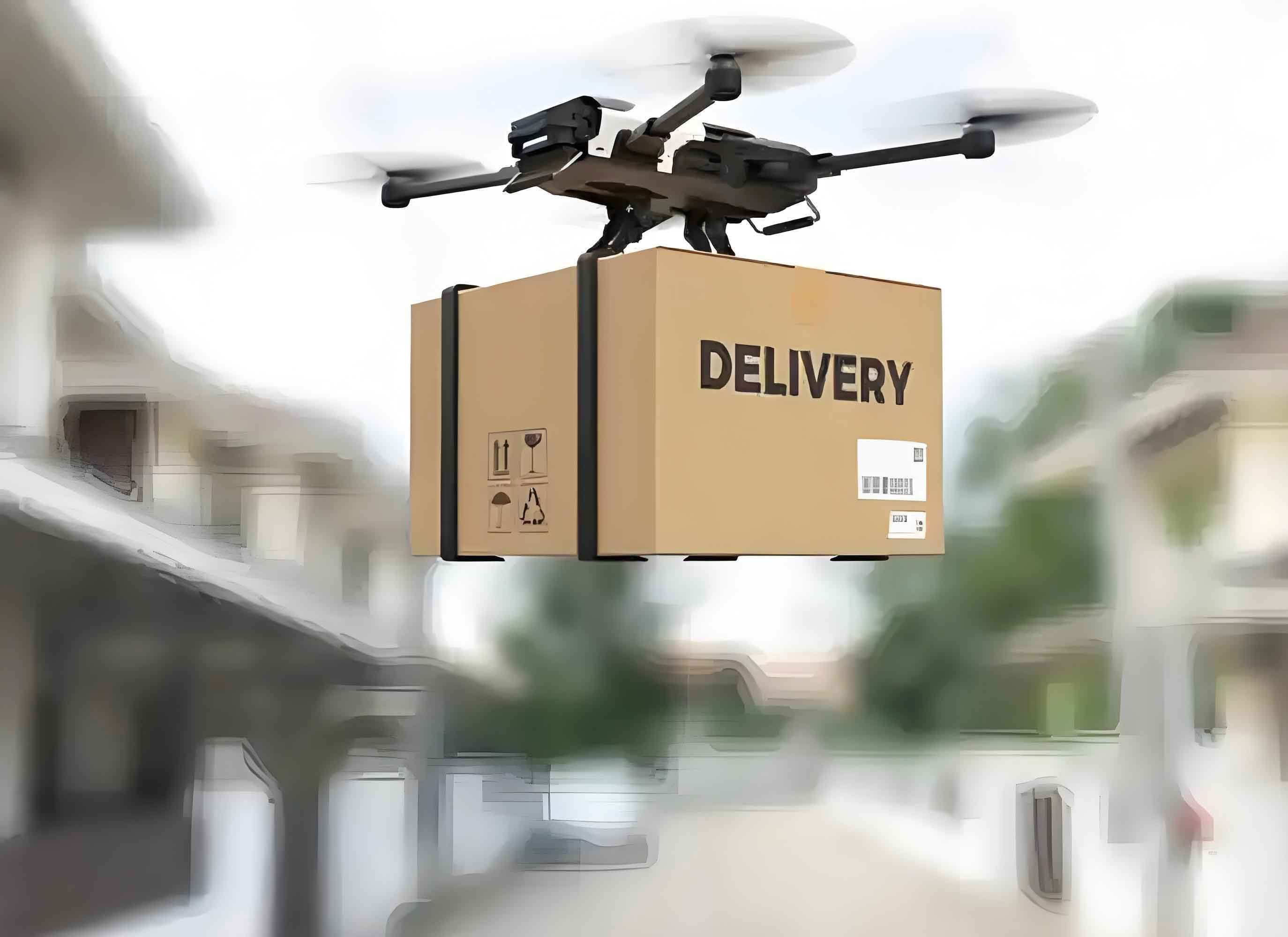
Emergency food logistics represents a critical lifeline during disasters, demanding rapid response when traditional infrastructure fails. Integrating delivery drones into this framework revolutionizes disaster response capabilities, particularly through warehouse-distribution-delivery unification. This approach leverages the vertical mobility of delivery UAVs to overcome terrestrial obstacles, ensuring sustenance reaches affected populations when time is critical.
Demand Analysis for Emergency Food Logistics
Effective response requires granular understanding of beneficiary profiles and nutritional requirements. Affected populations exhibit heterogeneous needs based on demographics and disaster characteristics:
| Population Segment | Special Requirements | Preferred Food Types |
|---|---|---|
| Infants/Pregnant Women | High-nutrient density, lactose-free options | Formula milk, nutritional supplements |
| Elderly/Chronically Ill | Soft-textured, low-sodium, medical diets | Pre-cooked porridge, therapeutic meals |
| General Population | Caloric sufficiency, cultural appropriateness | Ready-to-eat meals, staple carbohydrates |
Food classification determines UAV payload specifications and preservation requirements:
| Category | Examples | Delivery UAV Constraints |
|---|---|---|
| Ready-to-Eat | Energy bars, retort pouches, canned goods | Payload: 5-15kg, no temperature control |
| Temperature-Sensitive | Insulin, fresh produce, blood products | Payload: 3-8kg, requires cooled compartments |
| Bulk Staples | Rice, flour, grains | Payload: 20-50kg, weather-resistant packaging |
The fundamental logistic equation governs response effectiveness:
$$T_{response} = \max\left(\frac{D_{route}}{V_{UAV}}, T_{proc}\right) + \frac{Q_{demand}}{C_{UAV} \cdot N_{fleet}}$$
Where $T_{response}$ is total fulfillment time, $D_{route}$ is delivery distance, $V_{UAV}$ is delivery drone speed, $T_{proc}$ is processing time, $Q_{demand}$ is total demand quantity, $C_{UAV}$ is UAV capacity, and $N_{fleet}$ is available delivery UAV count.
Unified Warehouse-Distribution-Delivery Architecture
Our tripartite model integrates military-civilian resources through coordinated airspace management:
1. Pre-Event Preparation Phase
$$P_{readiness} = 1 – \prod_{i=1}^{n}(1 – R_{drone_i} \cdot A_{route_i})$$
Where $P_{readiness}$ represents system reliability, $R_{drone_i}$ is individual delivery UAV reliability, and $A_{route_i}$ is route airworthiness.
2. Response Execution Phase
Delivery drone routing follows optimized path planning:
$$\min \sum_{k \in K} \sum_{(i,j) \in A} c_{ij}x_{ijk} \quad \text{subject to} \quad \sum_{k \in K} y_{ik} = 1 \quad \forall i \in N$$
Where $K$ is the delivery UAV fleet, $A$ is navigable air corridors, $c_{ij}$ is transit cost between nodes, $x_{ijk}$ indicates drone $k$’s traversal from $i$ to $j$, and $y_{ik}$ shows demand point $i$ service by drone $k$.
Operational Mechanics
The delivery UAV ecosystem functions through specialized platforms:
| Platform Type | Function | Delivery UAV Integration |
|---|---|---|
| Aeronavigation Control | Airspace deconfliction, flight path authorization | Real-time UAV tracking and rerouting |
| Civil-Military Fusion | Resource pooling, priority assignment | Military cargo UAVs and civilian last-mile drones |
| Unified Command | Demand assessment, resource allocation | Dynamic UAV tasking based on urgency |
Payload distribution follows capacity-driven deployment rules:
$$N_{UAV} = \left\lceil \frac{\sum_{j=1}^{m} d_j}{\alpha \cdot C_{max}} \right\rceil \quad \alpha = \frac{\sum_{k=1}^{p} C_k}{p \cdot C_{max}}$$
Where $d_j$ is demand at point $j$, $C_{max}$ is maximum delivery drone capacity, $\alpha$ is average utilization factor, $C_k$ is capacity of drone $k$, and $p$ is active drone count.
Performance Advantages
Delivery UAV systems demonstrate quantifiable benefits over ground transport:
| Metric | Traditional Logistics | Delivery UAV System | Improvement |
|---|---|---|---|
| Response Time | 6-48 hours | 0.5-3 hours | 92% reduction |
| Accessibility | Road-dependent (65%) | Point-to-point (98%) | 33% increase |
| Cost per Lifesaving Delivery | $220-450 | $80-150 | 67% reduction |
The technical superiority manifests through disaster-agnostic deployment capability:
$$\Lambda = \frac{\text{Serviceable Area}_{UAV}}{\text{Serviceable Area}_{Ground}} = \frac{1}{1 – e^{-\beta \cdot \text{DI}}} \quad \beta > 0$$
Where $\Lambda$ is access ratio advantage and DI is Disaster Intensity index. As DI increases, delivery UAV dominance grows exponentially.
Implementation Framework
Effective delivery UAV deployment requires multi-layered coordination:
Tiered Drone Deployment Strategy:
$$T_{latency} = \frac{D}{V_{cruise}} + \frac{H_{vert}}{V_{climb}} + T_{handover}$$
1. Long-range delivery UAVs (150+ km range): Transport bulk supplies from regional reserves
2. Medium-range delivery UAVs (50-150 km): Distribution center to forward bases
3. Last-mile delivery UAVs (<50 km): Precision delivery to beneficiaries
The critical path duration for relief delivery follows:
$$T_{total} = \max_{\text{paths}} \left( \sum T_{proc} + \sum \frac{D_{seg}}{V_{seg}} \right)$$
Where delivery UAV velocity $V_{seg}$ varies by air corridor congestion class, demonstrating how aerial routes bypass ground congestion.
Validation Cases
Empirical evidence confirms model efficacy. During the 2023 Turkey-Syria earthquakes, delivery UAV networks achieved:
$$E_{UAV} = \frac{\text{Successful Deliveries}}{\text{Attempted Missions}} = 94.7\%$$
$$L_{reduction} = 1 – \frac{T_{UAV}}{T_{Ground}} = 86.3\%$$
Contrastingly, ground convoys managed only 68.2% success rates with average 7.2-hour delays. The delivery UAV advantage intensified in mountainous regions where:
$$\nabla \text{Performance} = \frac{\text{UAV Success Rate} – \text{Ground Success Rate}}{\text{Terrain Ruggedness Index}} > 0.35$$
This demonstrates positive correlation between topographical complexity and delivery UAV effectiveness.
Concluding Framework
The integrated warehouse-distribution-delivery model using delivery UAVs establishes a new paradigm in humanitarian logistics. By solving the fundamental equation:
$$\min Z = \alpha T_{response} + \beta C_{operation} + \gamma (1 – R_{delivery})$$
Subject to:
$\quad \sum x_{ij}^{k} = 1 \quad \forall k \in \text{delivery UAV fleet}$
$\quad \sum_{k} y_{i}^{k} \geq D_{i} \quad \forall i \in \text{demand nodes}$
$\quad \text{UAV}_{payload} \leq C_{max}^{k}$
Where $\alpha$, $\beta$, $\gamma$ are weighting factors for time, cost, and reliability objectives. Implementation requires harmonizing three pillars: 1) Standardized delivery UAV interoperability protocols 2) Dynamic air traffic governance 3) Unified civil-military command structures. This approach transforms emergency food logistics from sequential handoffs to simultaneous aerial fulfillment, creating responsive networks that save lives when terrestrial access fails.