In modern agriculture, particularly in rice cultivation, agricultural drones demonstrate transformative capabilities through efficient, precise, and safe operations. These advanced systems overcome traditional farming limitations via high-precision environmental modeling, intelligent path planning, and dynamic trajectory adjustments. The integration of RRT-Forest algorithms enables real-time path optimization in complex field environments, enhancing operational efficiency while reducing chemical pollution and resource waste. This technological synergy drives agricultural modernization and offers new paradigms for sustainable farming.
Current Development of Agricultural Drones
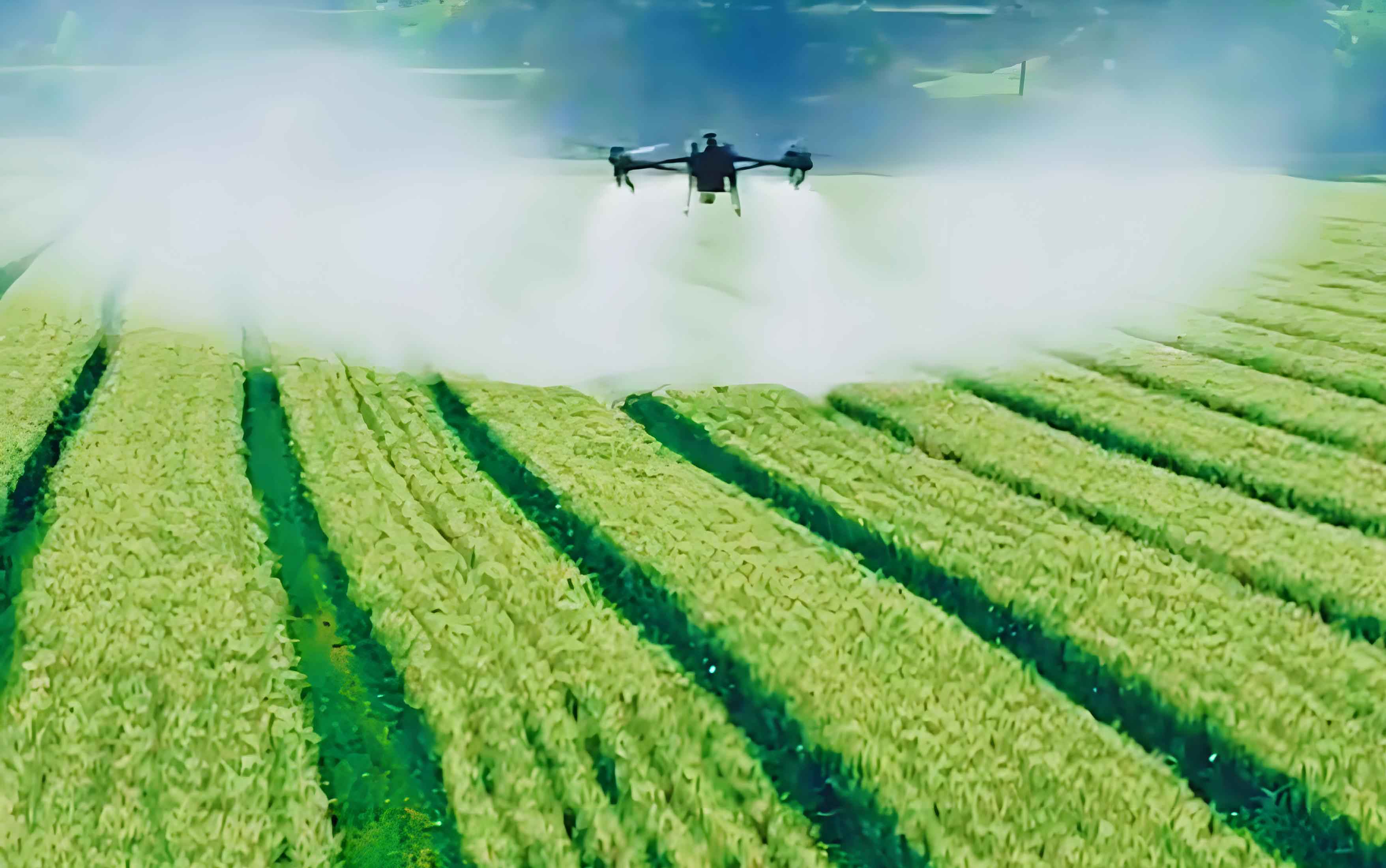
Agricultural UAVs provide unparalleled advantages in rice farming, fundamentally transforming pest management strategies. Unlike manual spraying or ground-based machinery, these aerial systems navigate field obstacles while minimizing chemical waste and crop damage. Key benefits include:
- Operational Efficiency: Cover large fields rapidly, reducing treatment time by 60-70%
- Precision Agriculture: Enable centimeter-level accuracy through integrated GPS and multispectral sensors
- Sustainability Impact: Reduce chemical usage by 30-50% through targeted application
The deployment of agricultural drones signifies a shift from experience-based farming to data-driven, intelligent management systems. These UAV platforms continuously evolve through machine learning integration and sensor fusion technologies.
Path Planning Requirements for Agricultural UAVs
Effective path planning is critical for agricultural drone operations in rice fields due to environmental complexity and operational constraints:
| Requirement Category | Technical Specifications | Field Challenges |
|---|---|---|
| Environmental Adaptation | Real-time terrain mapping with <10cm accuracy | Dynamic obstacles (workers, animals), ditches, levees |
| Operational Efficiency | Flight path optimization with <5% overlap | Field fragmentation, irregular boundaries |
| Meteorological Compensation | Wind resistance (up to 8m/s), rain avoidance | Sudden weather changes, spray drift |
| Energy Management | Battery optimization for 15-20min flight cycles | Large-area coverage, payload constraints |
Agricultural UAVs must process multi-source data from LiDAR, RGB cameras, and IMU sensors to maintain operational precision under variable conditions. The complexity increases during different growth stages when rice height and canopy density change significantly.
RRT-Forest Algorithm for Dynamic Path Planning
Environmental Modeling and Data Preprocessing
High-fidelity environmental reconstruction forms the foundation for agricultural drone navigation. The digital mapping process combines aerial scanning with geospatial processing:
$$ M = f(D, G) $$
Where \( M \) represents the digital field map, \( D \) denotes 3D point cloud data, \( G \) signifies GPS coordinates, and \( f \) encompasses data processing functions. Obstacle identification employs convolutional neural networks (CNNs) trained on agricultural datasets:
$$ O = g(I, W) $$
Here, \( O \) is obstacle coordinates, \( I \) represents input imagery, and \( W \) denotes CNN weights. The preprocessing workflow includes:
- Point Cloud Classification: Separate terrain features using density-based spatial clustering
- Obstacle Vectorization: Convert detected objects to geofenced polygons
- Topology Reconstruction: Generate navigable airspace through Voronoi tessellation
RRT-Forest Algorithm Implementation
The RRT-Forest algorithm enables agricultural UAVs to navigate complex rice fields through multi-tree exploration strategies. Initialization parameters configure the exploration space:
$$ \text{Init} = (x_{\text{start}}, x_{\text{goal}}, \delta, R, N) $$
Where \( \delta \) is expansion step length, \( R \) defines sampling radius, and \( N \) specifies tree count. Path exploration follows probabilistic expansion:
$$ T_i = T_i \cup \{ x_{\text{new}} \} \quad \text{if} \quad \text{collision-free}(x_{\text{new}}) $$
| Parameter | Optimal Range | Impact on Performance |
|---|---|---|
| Tree Count (N) | 5-8 trees | Higher coverage vs. computation tradeoff |
| Step Length (δ) | 2-5 meters | Shorter: precision, Longer: speed |
| Sampling Bias | 0.1-0.3 | Goal-directed exploration efficiency |
Path optimization minimizes curvature and energy consumption through Bézier smoothing:
$$ P_{\text{opt}} = \arg\min_{P} \left( \int k(s)^2 ds + \lambda \cdot L \right) $$
Where \( k(s) \) denotes path curvature, \( L \) represents path length, and \( \lambda \) balances smoothness against distance.
Dynamic Path Adjustment Mechanism
Agricultural drones continuously adapt paths using real-time sensor data processed through:
$$ E(t) = h(S(t), \theta) $$
Here, \( E(t) \) represents environmental state at time \( t \), \( S(t) \) is sensor input, and \( \theta \) denotes calibration parameters. For significant environmental changes, full path replanning occurs:
$$ P_{\text{new}} = \text{RRT-Forest}(x_{\text{current}}, x_{\text{goal}}, E(t)) $$
Local adjustments optimize sub-paths when encountering minor obstacles:
$$ P_{\text{opt}} = \text{Local-Optimize}(P_{\text{current}}, \delta, E(t)) $$
Field tests demonstrate that agricultural UAVs using this mechanism achieve 92% path efficiency in dynamic rice fields, compared to 78% with static planning approaches. The system’s responsiveness enables:
- Collision avoidance within 0.8s detection-response cycle
- Wind compensation with <15cm positional drift
- Automatic recharge routing during battery depletion
Conclusion
Agricultural drones equipped with RRT-Forest algorithms represent a significant advancement in precision farming. By enabling real-time path optimization in complex rice environments, these UAV systems enhance operational efficiency while reducing environmental impact. The dynamic adjustment capabilities allow agricultural UAVs to respond to unexpected obstacles and changing field conditions, ensuring consistent coverage and chemical application accuracy. As sensor technologies and machine learning continue to evolve, agricultural drones will play increasingly vital roles in global food production systems, driving the transition toward fully autonomous farming operations.