The paradigm of modern warfare is undergoing a profound transformation, with low-altitude penetration emerging as a critical tactical approach. The efficacy of Unmanned Aerial Vehicle (UAV) swarms in such scenarios, as demonstrated in recent conflicts, hinges on their ability to navigate complex, dynamic threat environments. The core challenge lies in real-time, cooperative path planning that balances route optimality with stringent safety and kinematic constraints. Traditional single-algorithm approaches often fall short, exhibiting limitations such as inefficient global replanning, unsafe path proximity to obstacles, or poor dynamic obstacle avoidance for coordinated swarms. This work addresses the path replanning problem for UAV swarms in low-altitude penetration operations by proposing a novel hierarchical framework that fuses an improved global D* Lite planner with an enhanced local Dynamic Window Approach (DWA). The proposed method systematically overcomes the individual shortcomings of each algorithm, enabling the automatic generation of kinematically feasible, safe, and cooperative trajectories. The relevance of such advanced coordination extends beyond military applications; it is equally vital for the orchestration of complex, large-scale civilian drone light show performances, where hundreds of UAVs must navigate pre-defined airspace with precise timing and collision-free assurance.
The operational environment for low-altitude penetration is characterized by high complexity and strong dynamism. It integrates natural obstacles from terrain, artificial threats like radar and Infrared Search and Track (IRST) systems, and the inherent need for multi-platform coordination. This paper models three primary threat types relevant to UAV swarm navigation. First, the radar threat is modeled. When a radar station activates, its detection zone projects a circular area on the horizontal plane. A path replanning trigger occurs if a UAV’s planned trajectory intersects this threat circle defined by a center $O’$ and radius $R’$. The relationship is defined by the UAV’s altitude $H$, the radar’s ground location $O_m$, and its ground radius $R_m$. The threat radius $R’$ is derived from the radar’s effective range at the UAV’s flight altitude.
Second, the IRST threat is considered. An activated IRST system projects an asymmetric, shallow-dish shaped zone onto the horizontal plane. The effective threat area is bounded by a circle with center $O”$ and radius $R”$, determined by the IRST’s location $O_n$, its maximum detection range $R_{max}$, and the UAV’s altitude $D$. Penetration into this zone necessitates immediate path replanning.
Third, terrain obstacles are accounted for through a grid-based discretization process. Complex 3D terrain is projected onto the 2D planning plane. Obstacles like mountain bodies are identified, and their cross-sections are regularized into rectangular blocks with width $w$ and length $l$, providing a quantifiable representation for the path planner to circumvent horizontally.
The proposed solution is a two-layer fused architecture designed to synergize global optimality with local reactivity. The global layer employs an improved D* Lite algorithm to generate an initial, strategically sound path from start to goal, even when new threats (like a suddenly activated radar) are detected. The local layer uses an enhanced DWA, guided by key waypoints extracted from the global path, to execute smooth, dynamic obstacle avoidance and maintain safe separation within the UAV swarm. This fusion effectively resolves the path redundancy and dangerous proximity issues of standard D* Lite, while overcoming the myopia and lack of global guidance inherent in basic DWA.
The D* Lite algorithm is first enhanced with an obstacle boundary expansion technique. A pre-processing step morphologically dilates all obstacles by a pre-set safety distance $d_{safe}$, creating virtual obstacle zones. This ensures any path planned will inherently maintain a minimum clearance from real threats, directly addressing a critical flaw in raw grid-based planners. The core heuristic search of D* Lite is also improved. The key value function, which prioritizes states in the search queue, is modified with an adaptive weight $w$ to balance optimality and search speed:
$$
key(s) = \begin{cases}
[g(s) + h(s_{start}, s) + k_m, \quad rhs(s)] & \text{if } g(s) < rhs(s) \\
[rhs(s) + w \times h(s_{start}, s) + k_m, \quad h(s_{start}, s)] & \text{otherwise}
\end{cases}
$$
Here, $g(s)$ is the cost-to-come, $rhs(s)$ is the one-step lookahead cost, $h(s_{start}, s)$ is the heuristic estimate, and $k_m$ is a correction term for dynamic replanning. Furthermore, the Chebyshev distance is adopted as the heuristic metric instead of Euclidean distance, as it better reflects movement possibilities on the expanded map, reducing visited nodes. An adaptive factor $\tau$ is introduced to the heuristic to adjust search focus based on proximity to the goal:
$$
h(s_{start}, s) = \tau \times \left( \min(|x_{start} – x|, |y_{start} – y|) + ||x_{start} – x| – |y_{start} – y|| \right)
$$
$$
\tau = \frac{\sqrt{(x_{start} – x)^2 + (y_{start} – y)^2}}{\sqrt{(x_{start} – x_{goal})^2 + (y_{start} – y_{goal})^2}}
$$
where $(x_{start}, y_{start})$, $(x, y)$, and $(x_{goal}, y_{goal})$ are the coordinates of the start state, current state $s$, and goal state, respectively.
For local planning and swarm coordination, the DWA is substantially augmented. The core trajectory evaluation function $G(v, \omega)$ is expanded to include a swarm cohesion term:
$$
G(v, \omega) = \sigma \times \left( \alpha \cdot \text{head}(v, \omega) + \beta \cdot \text{dis}(v, \omega) + \gamma \cdot \text{vel}(v, \omega) + \lambda \cdot \text{disP}(v, \omega) \right)
$$
The new term $\text{disP}(v, \omega)$ evaluates the predicted minimum distance to all other swarm members (partners) after executing a candidate velocity $(v, \omega)$. This requires a partner position prediction mechanism. For each neighboring UAV, its next position is estimated based on its current state $(x, y, \theta, v)$ and kinematic constraints ($\theta_{max}$, $v_{max}$). If the line to the partner is obstacle-free, the prediction points along that direction within the max turn angle. If an obstacle lies between, the prediction points towards a safe bypass direction. The partner distance score is then calculated as:
$$
\text{disP}(v, \omega)=
\begin{cases}
10, & \text{dis}(v, \omega) \geq d_{safe} \\
5 \times e^{-\text{dis}(v, \omega)}, & \frac{1}{2}d_{safe} \leq \text{dis}(v, \omega) < d_{safe} \\
0, & \text{dis}(v, \omega) < \frac{1}{2}d_{safe}
\end{cases}
$$
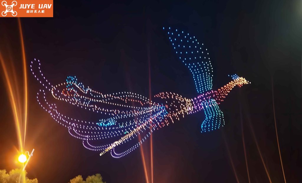
where $\text{dis}(v, \omega) = \min_{g \in G} (\text{disToPartner}(v, \omega, P_g))$, and $G$ is the set of all swarm members. This mechanism enables proactive collision avoidance within the swarm, a feature as crucial for military swarms as it is for ensuring the flawless execution of a synchronized drone light show.
Simulation experiments were conducted in a MATLAB environment to validate the proposed fused algorithm. The scenario was a 70×70 grid (cell size 10m) containing static circular and rectangular obstacles, with a dynamic circular threat (simulating a sudden radar activation) appearing at coordinates (32, 36). Performance was evaluated across several key metrics.
First, the impact of the heuristic weight $w$ in the improved D* Lite was analyzed. As shown in Table 1, increasing $w$ from 1.0 to 1.8 led to a controlled 3.69% increase in path length but a dramatic 70.25% reduction in planning time and a 66.72% drop in visited nodes. A value of $w=1.6$ was selected as the optimal trade-off, providing a 25.86% speed gain over $w=1.4$ for only a 1.27% path length penalty, crucial for real-time penetration operations.
| $w$ | Path Length (m) | Planning Time (s) | Visited Nodes | Total Turn Angle (°) |
|---|---|---|---|---|
| 1.0 | 100.84 | 1.21 | 1280 | 765 |
| 1.2 | 101.23 | 0.94 | 980 | 456 |
| 1.4 | 102.43 | 0.58 | 691 | 225 |
| 1.6 | 103.73 | 0.43 | 532 | 198 |
| 1.8 | 104.56 | 0.36 | 426 | 176 |
Second, a comparative analysis of global planners was performed. Table 2 demonstrates the advantages of the improved D* Lite. Compared to the traditional D* Lite, the improved version achieved a 32.80% faster replanning time after a sudden threat appeared. While its path was slightly longer than the traditional version’s risky, obstacle-hugging route, it maintained a minimum safe distance of over 10 meters (compared to ~0.2m) and improved average path curvature by 27.27%, leading to a significantly smoother and safer trajectory.
| Algorithm | Path Length (m) | Planning Time (s) | Average Curvature (m⁻¹) | Min. Safe Distance (m) |
|---|---|---|---|---|
| Field D* | 115.20 | 2.38 | 0.03 | ~0.3 |
| D* Lite (Basic) | 112.46 | 1.25 | 0.22 | ~0.2 |
| D* Lite (Improved) | 118.68 | 0.84 | 0.16 | ≥10.0 |
Third, the swarm coordination performance of the improved DWA was tested with three UAVs. The kinematic parameters for the DWA simulation are listed in Table 3. The key result was that the enhanced evaluation function with partner prediction successfully eliminated trajectory crossings and maintained safe inter-agent distances throughout the simulation. The minimum distance between any two UAVs was consistently above the 10m safety threshold, with the most critical pair maintaining a separation of 12.2m.
| Parameter | Symbol | Value | Parameter | Symbol | Value |
|---|---|---|---|---|---|
| Safety Distance | $R_{safe}$ | 10 m | Max. Angular Accel. | $\eta_{max}$ | 0.34 rad/s² |
| Max. Velocity | $u_{max}$ | 20 m/s | Velocity Resolution | $v_{res}$ | 1.2 m/s |
| Max. Angular Velocity | $\omega_{max}$ | 0.52 rad/s | Angular Vel. Resolution | $\omega_{res}$ | 0.01 rad/s |
| Max. Acceleration | $a_{max}$ | 10 m/s² | Simulation Time Step | $t_{step}$ | 1 s |
Finally, the complete fused algorithm was validated. The global improved D* Lite provided key waypoints for each UAV, which were then used as sequential local targets for the enhanced DWA. The fused approach successfully guided all three UAVs from their starts to goals, avoiding all static and dynamic obstacles without any trajectory intersections or local minima entrapment. The inter-agent distance analysis confirmed the swarm safety, with the closest approach being 20.62m, well above the safety limit. This level of reliable, collision-free coordination under dynamic constraints is the ultimate goal for both penetrating UAV swarms and spectacular, large-scale drone light show performances.
In conclusion, this paper presents a fused path planning framework that effectively addresses the challenges of low-altitude UAV swarm penetration. By integrating an improved D* Lite algorithm with an enhanced DWA, the method overcomes the limitations of standalone planners. The improved D* Lite, with obstacle expansion and adaptive heuristic weighting, ensures globally informed, safe, and efficient initial paths. The enhanced DWA, with key-point guidance and a novel partner-aware evaluation function, enables smooth, dynamic local navigation and robust swarm collision avoidance. Simulation results demonstrate significant improvements in planning efficiency (32.80%), path smoothness (27.27% better curvature), and guaranteed safety margins (>10m from obstacles, >20m between agents). The proposed framework provides a reliable technical foundation for autonomous UAV swarm operations in complex adversarial environments. Future work will focus on integrating dynamic obstacle prediction and more efficient partial replanning strategies to further enhance the system’s adaptability and robustness in highly uncertain scenarios, pushing the boundaries of what is possible for coordinated aerial systems, from tactical swarms to mesmerizing drone light show spectacles.