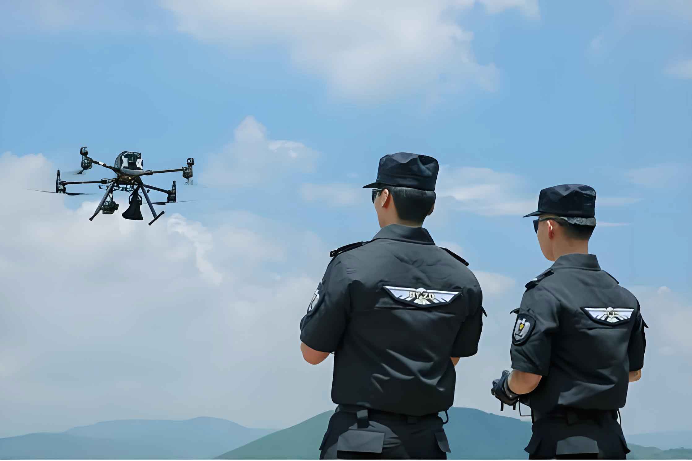
The proliferation of Unmanned Aerial Vehicles (UAVs), or drones, in civilian airspace presents both significant opportunities and substantial challenges for public safety and security agencies. For police and law enforcement, UAVs have become indispensable tools for a wide range of applications, including surveillance, search and rescue, traffic monitoring, and crime scene documentation. However, the absence of a comprehensive, real-time monitoring and management framework poses severe risks. These risks include unauthorized flights over sensitive or restricted areas, potential collisions with manned aircraft, and the general difficulty in ensuring accountability and operational safety in increasingly crowded low-altitude airspace. The lack of a unified airspace management and service system further complicates the legal and safe integration of police UAV operations. Therefore, the design and implementation of a dedicated, reliable, and scalable dynamic monitoring platform for police UAV operations is not merely an enhancement but a critical necessity for modern law enforcement.
The primary objective of a police UAV monitoring platform is to establish command, control, and communication (C3) over all authorized UAV flights. This system must enable ground controllers to track the real-time position and status of each police UAV, issue mission commands or emergency instructions, and maintain seamless communication with UAV pilots. The core challenge lies in achieving this functionality over vast geographical areas, often in diverse terrain and potentially outside the coverage of traditional communication infrastructures. The platform’s design must prioritize reliability, security, low latency for critical commands, and adaptability to evolving communication technologies. This article details the architectural design, component implementation, and technological considerations for such a dynamic monitoring platform, focusing on the integration of modern Low-Power Wide-Area Network (LPWAN) solutions alongside traditional cellular networks.
System Architecture and Core Components
The proposed dynamic monitoring platform for police UAV operations is conceived as a modular, scalable, and open system. Its architecture is designed to avoid dependency on any single vendor or technology, ensuring long-term viability and ease of upgrading. The overall system comprises five major subsystems: the Airborne End System (on the UAV), the Ground End System (Monitoring Center), the Ground Voice Communication System, the Network Support System, and the Edge/Demarcation System for secure external connectivity.
The logical interaction between these elements can be summarized by the following relationship: A ground controller uses the Monitoring Center to oversee both the police UAV and its pilot. Voice communication is maintained with the pilot for tactical instructions, while direct data links and override commands are established with the UAV itself via the network support system. This dual-channel approach ensures robust control.
1. Airborne End System Design
The airborne system is the critical payload installed on each police UAV. Its design emphasizes miniaturization, low power consumption, and reliability. It is responsible for collecting essential telemetry data and facilitating bidirectional communication with the ground.
The core components of the airborne end system include:
- Navigation Module: A dual-mode BD-2 (BeiDou)/GPS receiver for obtaining high-precision positional coordinates (latitude, longitude, altitude), velocity, and heading.
- Microcontroller Unit (MCU): The central processing brain that aggregates sensor data, manages communication protocols, and executes command sequences.
- Communication Module: A multi-mode radio unit, initially featuring GSM/GPRS capabilities, with provisions for integrating LPWAN modules like LoRa. This module handles all data transmission and reception.
- Power Management Unit (PMU): Ensures stable and efficient power delivery to all components from the UAV’s main battery, often involving voltage regulation and power conditioning.
- Antenna System: Includes dedicated antennas for satellite navigation (BD-2/GPS) and for the cellular/LPWAN communication link.
The data flow on the airborne system can be modeled as a continuous loop. The navigation data $P_{UAV}(t) = (lat(t), lon(t), alt(t))$ is sampled at time $t$. The MCU packages this with status information (e.g., battery level $B(t)$, heading $\theta(t)$) into a telemetry frame $T_{frame}$.
$$ T_{frame}(t) = \\{ P_{UAV}(t), B(t), \theta(t), v(t), \text{status flags} \\} $$
This $T_{frame}$ is then encoded and transmitted via the communication module at a regular interval $\Delta t$. Simultaneously, the MCU listens for incoming command frames $C_{frame}$ from the ground, which may contain new waypoints, emergency landing triggers, or communication parameter updates.
2. Ground End System (Monitoring Center)
The Ground End System is the heart of the police UAV monitoring platform, providing the human-machine interface for operators and the backend for data processing, storage, and visualization. Its software architecture is layered to ensure modularity, security, and ease of maintenance.
| Layer | Components & Purpose | Key Technologies/Standards |
|---|---|---|
| Application Layer | Mission Planning, Real-Time Tracking Dashboard, Alert Management, User & UAV Registry, Logging & Playback. Provides all end-user functionalities. | Custom-built applications, Web-based interfaces (HTML5, WebGL for maps). |
| Service Layer | Data Management Services, Map & Geospatial Services, Communication Gateways, Authentication & Authorization Services. Provides high-level APIs to the Application Layer. | J2EE/J2SE, Relational Database (e.g., PostgreSQL/PostGIS), Web Servers (e.g., Tomcat), OGC standards for maps. |
| Core Layer | Operating System, Virtualization Platform, Core Libraries. Provides the fundamental runtime environment. | Linux distributions, Docker/Kubernetes for containerization. |
| Interface Layer | Network Interfaces (for data links), User Interfaces (GUI for operators). Handles all external and human interactions. | RESTful APIs, WebSockets for real-time data, Secure VPN clients. |
The system ingests the stream of telemetry frames $T_{frame}(t)$ from each police UAV. The position $P_{UAV}(t)$ is plotted in real-time on a digital map overlay, which also displays geofenced restricted zones, flight paths, and other airspace information. The system can raise alerts if a UAV breaches a geofence or deviates from its flight plan. A critical function is the generation of super-control commands. In an emergency, an operator can send a command $C_{emergency}$ that bypasses the pilot and is executed directly by the UAV’s flight controller, such as “Return-to-Home” or “Land Immediately.” The effectiveness of this command depends on the latency $L$ of the network link: $t_{command\_received} = t_{command\_sent} + L$. Minimizing $L$ is crucial for safety.
3. Network Support System: The Communication Backbone
The Network Support System is arguably the most technically challenging component, as it must provide ubiquitous, reliable, and secure connectivity between the airborne and ground systems. For a nationwide or regional police UAV fleet, leveraging existing public infrastructure is cost-effective, but supplementary solutions are needed for remote areas.
Primary Link: Public Cellular Networks (GSM/GPRS & Beyond)
Initially, the platform utilizes widespread 2G (GSM/GPRS) networks. The advantage is near-ubiquitous coverage in populated areas. However, limitations exist. The effective communication range $R_{cellular}$ is influenced by base station antenna height $h_{BS}$, UAV altitude $h_{UAV}$, and terrain. Signal strength $S$ at the UAV can be approximated by a modified path loss model:
$$ S = P_{tx} + G_{tx} + G_{rx} – PL(d) $$
where $P_{tx}$ is transmit power, $G$ are antenna gains, and $PL(d)$ is the path loss over distance $d$. For a UAV above typical urban cell coverage, path loss can be higher than for ground users, potentially leading to link degradation or dropout. Furthermore, network operators are progressively phasing out 2G services.
Supplementary Link: LPWAN – LoRa Technology
For operations in areas lacking reliable cellular coverage, the platform incorporates LoRa (Long Range) technology. LoRa is a proprietary spread spectrum modulation technique offering exceptional receiver sensitivity (down to -148 dBm) and long-range (1-20 km in rural settings). This makes it ideal for establishing localized, command-operated networks for police UAV missions in remote locations, forests, or at major incident sites.
A portable LoRa gateway can be deployed by ground teams. The UAV’s airborne system would be equipped with a LoRa module alongside the cellular module. The key trade-off is data rate $D_{LoRa}$ versus range and power. LoRa data rates are low, typically $D_{LoRa} < 37.5$ kbps, sufficient for telemetry and basic commands but not for video streaming. The link budget for LoRa is superior for range:
$$ Sensitivity_{LoRa} \ll Sensitivity_{Cellular} $$
This allows a single portable gateway $G_{LoRa}$ to maintain connections with multiple police UAVs $U_i$ within a large area, governed by:
$$ \text{Coverage Area} \approx \pi \times (R_{LoRa})^2 $$
where $R_{LoRa}$ is the achievable radius, often significantly larger than a typical GSM cell in open terrain.
Future Primary Link: NB-IoT
Narrowband Internet of Things (NB-IoT) is a 3GPP-standardized LPWAN technology designed to coexist with existing 4G/LTE and future 5G networks. It offers a superior long-term solution compared to GSM/GPRS, with better penetration, lower power consumption, and massive device connectivity. A single cellular sector can support ~$N_{NB-IoT} \approx 200,000$ connections. For a police UAV monitoring platform, migrating to NB-IoT as it becomes commercially mature provides a future-proof, carrier-managed wide-area network with enhanced quality of service and security features inherent to licensed spectrum.
| Feature | GSM/GPRS (Initial Phase) | LoRa (Supplementary) | NB-IoT (Target Future) |
|---|---|---|---|
| Technology Type | Cellular (2G) | Spread Spectrum LPWAN | Cellular LPWAN (4G/5G) |
| Frequency Band | Licensed (900/1800 MHz) | Unlicensed (e.g., 470-510 MHz) | Licensed (LTE in-band/guard-band) |
| Peak Data Rate | ~171 kbps | < 50 kbps | < 250 kbps |
| Typical Range | 1-10 km (urban/rural) | 5-20 km (rural) | 1-15 km |
| Receiver Sensitivity | ~ -102 dBm | ~ -148 dBm | ~ -120 dBm |
| Power Consumption | High | Very Low | Very Low |
| Network Topology | Star (via Carrier Infrastructure) | Star (via owned Gateway) | Star (via Carrier Infrastructure) |
| Deployment Model | Leverage Existing Network | Deploy Own Portable Gateways | Leverage Evolving Carrier Network |
| Key Advantage for Police UAV | Immediate wide-area availability | On-demand coverage in remote zones | Future-proof, scalable, secure managed service |
4. Ground Voice Communication and Edge Security Systems
A dedicated Ground Voice Communication System is essential for tactical coordination. This system, often based on Professional Digital Trunking (PDT) standards or evolving to a broadband Mission-Critical Push-to-Talk (MCPTT) solution, allows direct voice communication between the flight controller, the police UAV pilot on the ground, and other field personnel. It ensures clear, instantaneous voice commands are delivered independently of the data telemetry link.
The Edge Security System is the secure gateway that connects the police UAV monitoring platform to other sensitive networks, such as a regional or national law enforcement intranet. It typically consists of a Demilitarized Zone (DMZ) architecture with firewalls, intrusion detection/prevention systems (IDS/IPS), and data diodes or secure gateways. All data exchange between the public-facing monitoring platform and the secure police network must pass through this controlled boundary. Data $D_{outbound}$ destined for the police network is rigorously filtered and sanitized, while commands $C_{inbound}$ from authorized police systems are validated before entering the platform. This ensures that the operational integrity of the police UAV fleet is protected from external cyber threats and that sensitive law enforcement data remains confined to authorized domains.
Implementation Roadmap and Evolutionary Path
The deployment of a comprehensive police UAV monitoring platform should follow a phased, evolutionary approach aligned with technological maturity and infrastructure development.
Phase 1: Foundation on Existing Networks
The initial deployment leverages the ubiquitous GSM/GPRS network for primary wide-area communication. The airborne module is designed with a GSM/GPRS modem. The monitoring center software is established, focusing on core tracking, geofencing, and basic fleet management for the police UAV units. Portable LoRa gateways are procured and tested for use in designated non-coverage areas. The system proves the concept and establishes operational procedures. The effective operational area $A_{OP1}$ is defined by:
$$ A_{OP1} = A_{GSM} \cup A_{LoRa\_deployed} $$
where $A_{GSM}$ is the cellular coverage area and $A_{LoRa\_deployed}$ are specific mission zones covered by portable gateways.
Phase 2: Hybrid Network Integration
As mobile network operators begin wide-scale deployment of NB-IoT, the platform starts its migration. New police UAV units are equipped with dual-mode communication modules (NB-IoT + legacy GSM/GPRS/LoRa). The monitoring center is upgraded to manage connections over multiple network types simultaneously. This phase sees a coexistence of technologies, expanding reliable coverage and beginning to realize the power efficiency benefits of NB-IoT for longer police UAV endurance. The hybrid connectivity matrix $H_{UAV}$ for a UAV becomes:
$$ H_{UAV} = \begin{cases} \text{NB-IoT} & \text{(preferred, if available)} \\\\ \text{GSM/GPRS} & \text{(fallback)} \\\\ \text{LoRa} & \text{(for pre-planned remote ops)} \end{cases} $$
Phase 3: Full NB-IoT Convergence
Once NB-IoT coverage is deemed comprehensive and reliable across the operational jurisdiction, the platform completes its transition. All legacy GSM/GPRS modules in the police UAV fleet are phased out and replaced with NB-IoT modules. The portable LoRa systems are retained for extreme edge-case scenarios or specialized applications but are no longer a primary path. The network support system now relies almost entirely on the secure, carrier-managed NB-IoT infrastructure, offering optimized quality of service, enhanced security protocols, and seamless integration with other IoT assets within the law enforcement ecosystem. The system’s capacity $C_{system}$ scales with the NB-IoT network capacity, supporting a very large fleet:
$$ C_{system} \propto N_{sectors} \times N_{NB-IoT\_per\_sector} $$
Conclusion and Forward Perspective
The design and implementation of a dynamic monitoring platform for police UAV operations is a multifaceted engineering challenge that sits at the intersection of aerospace, telecommunications, cybersecurity, and software systems. The proposed architecture, centered on a layered ground control system and a hybrid, evolving communication backbone, provides a robust framework for achieving safe, secure, and accountable police UAV operations. By strategically combining immediate solutions like GSM/GPRS with portable LoRa and committing to a migration path toward standardized cellular IoT (NB-IoT), law enforcement agencies can build a system that is both practical today and sustainable for the future.
The successful deployment of such a platform for police UAV units establishes a foundational model that can later be extended to manage UAVs from other government agencies (e.g., fire, emergency medical services, infrastructure inspection) and eventually integrate with broader national Unmanned Traffic Management (UTM) systems. The ultimate goal is to enable the full, safe, and productive potential of police UAV technology, transforming it from a collection of standalone tools into a coordinated, intelligent, and fully monitored aerial fleet that significantly enhances public safety and operational effectiveness. The continuous advancement of 5G, with its ultra-reliable low-latency communication (URLLC) and massive machine-type communication (mMTC) facets, promises to be the next evolutionary step, offering even more robust and feature-rich connectivity for the next generation of police UAV monitoring platforms.