With the continuous expansion of metro network mileage, metro companies are facing increasingly severe challenges in inspecting ground-level protection zones. Traditional manual inspection methods require substantial workforce and financial investment, and recruiting suitable personnel becomes difficult over time. To address these issues, we propose a novel inspection and management platform based on unmanned aerial vehicle (UAV) technology and three-dimensional Geographic Information System (GIS) engine technology. This platform integrates advanced drone regulation mechanisms to enable efficient, low-cost, and automated detection of unauthorized construction activities and ground changes within metro protection zones. In this paper, we present the research roadmap, key technologies, risk identification schemes, inspection management workflows, and the six major functional modules of the platform. Practical applications demonstrate its effectiveness and reliability.
Research Roadmap
The proposed platform is built upon two core technologies: UAV technology and 3D GIS engine technology. UAV technology offers three distinct advantages: high precision (sub-meter accuracy due to low-altitude flight), real-time data acquisition, and operational flexibility. The 3D GIS engine, specifically CesiumJS, provides cross-platform, plug-in-free visualization of large-scale geospatial data, enabling seamless integration of UAV-derived imagery and elevation models. The combination of these technologies allows for continuous surveillance of metro protection zones while adhering to strict drone regulation policies that govern airspace usage and flight safety.
Key Technologies
Drone Risk Identification Scheme
Construction Equipment Recognition
We employ the YOLO (You Only Look Once) algorithm for real-time detection of construction machinery from high-resolution UAV images. The algorithm outputs bounding boxes and class probabilities for each detected object. The loss function of YOLO is defined as:
$$ \mathcal{L} = \lambda_{\text{coord}} \sum_{i=0}^{S^2} \sum_{j=0}^{B} \mathbb{1}_{ij}^{\text{obj}} \left[ (x_i – \hat{x}_i)^2 + (y_i – \hat{y}_i)^2 \right] + \lambda_{\text{coord}} \sum_{i=0}^{S^2} \sum_{j=0}^{B} \mathbb{1}_{ij}^{\text{obj}} \left[ (\sqrt{w_i} – \sqrt{\hat{w}_i})^2 + (\sqrt{h_i} – \sqrt{\hat{h}_i})^2 \right] + \sum_{i=0}^{S^2} \sum_{j=0}^{B} \mathbb{1}_{ij}^{\text{obj}} (C_i – \hat{C}_i)^2 + \lambda_{\text{noobj}} \sum_{i=0}^{S^2} \sum_{j=0}^{B} \mathbb{1}_{ij}^{\text{noobj}} (C_i – \hat{C}_i)^2 + \sum_{i=0}^{S^2} \mathbb{1}_{i}^{\text{obj}} \sum_{c \in \text{classes}} (p_i(c) – \hat{p}_i(c))^2 $$
where \(S\) is the grid size, \(B\) is the number of bounding boxes per grid, \(\mathbb{1}_{ij}^{\text{obj}}\) indicates whether the \(j\)-th bounding box in cell \(i\) is responsible for an object, and \(\lambda_{\text{coord}}\) and \(\lambda_{\text{noobj}}\) are weighting factors. After detecting individual pieces of equipment, we merge them into project boundaries using existing violation project scope data, which drastically reduces redundant risk reports. This integration is a direct application of drone regulation best practices to avoid false alarms and ensure compliance with inspection frequency requirements.
Elevation Change Detection
By comparing multi-temporal digital surface models (DSMs) generated from UAV photogrammetry, we identify areas of elevation increase (fill) or decrease (excavation). The elevation change at location \((x,y)\) between time \(t\) and initial time \(t_0\) is:
$$ \Delta h(x,y) = h_t(x,y) – h_{t_0}(x,y) $$
A threshold \(\delta\) is used to classify changes as significant if \(|\Delta h| > \delta\). To account for long-term settlement or heave, we maintain cumulative change maps that compare the latest DSM with the baseline acquisition. This method supports drone regulation by providing objective evidence of ground disturbances that may affect metro structures.
Drone Inspection Management Workflow
Task Management
UAV inspection tasks are classified into four categories based on execution status, as shown in Table 1.
| Mission Type | Description |
|---|---|
| Pending | Tasks scheduled for future execution |
| Modified | Tasks adjusted by the inspection unit with an accompanying explanation document |
| Missed | No results uploaded within one day after the planned execution time and not marked as modified |
| Completed | Results uploaded on or one day after the planned date |
Automated detection of task completion eliminates manual tracking and ensures adherence to drone regulation schedules.
Risk Reporting
Each risk event includes a unique identifier (ID) comprising: contractor abbreviation + line number + year + date + sequential number. The ID format is:
$$ \text{ID} = \text{Abbr}_{\text{contr}} \oplus \text{Line} \oplus \text{YYYY} \oplus \text{MMDD} \oplus \text{NNN} $$
where \(\oplus\) denotes concatenation. For construction equipment risks, reports must be submitted within one day of the flight; for elevation changes, a monthly cumulative report is acceptable. Each risk report must contain at least one geotagged image with clear annotations of risk location, elevation change zone, metro structure, station structure, and protection zone boundary. This structured reporting aligns with drone regulation requirements for traceable evidence.
Risk Confirmation
The confirmation process combines automatic spatial matching and manual review. Upon receiving a risk report, the system checks whether the spatial coordinates fall within any existing violation project polygon. If yes, the risk is automatically classified as “project condition”; otherwise, it is classified as “new risk item”. To improve efficiency, we filter only the line segment where the risk lies and its adjacent segments before performing polygon intersection tests. The manual review by the inspection foreman then processes batches of automatically classified items:
- For “project condition” items: random sample review, with options to confirm as project condition, reject as non-condition, or dispatch field verification.
- For “new risk items”: case-by-case review, leading to creation of field inspection tasks.
This hierarchical workflow ensures that drone regulation – requiring timely and accurate classification of hazards – is satisfied.
Task Assessment
To demonstrate that UAV-based inspection can eventually replace conventional manual patrolling, we define two key performance indicators. The effective inspection rate \(R_{\text{eff}}\) and the inspection accuracy rate \(R_{\text{acc}}\) are given by:
$$ R_{\text{eff}} = \frac{N_{\text{UAV\ detected}}}{N_{\text{total\ violations}}} \times 100\% $$
$$ R_{\text{acc}} = \left(1 – \frac{N_{\text{false\ positives}}}{N_{\text{total\ UAV\ reports}}}\right) \times 100\% $$
When both rates exceed 95%, the UAV inspection mode is considered equivalent to manual inspection in terms of detection coverage. These metrics are fundamental to drone regulation compliance, as they provide quantitative proof of system reliability.
Platform Construction
We developed an integrated inspection management platform that synergizes UAV and manual patrol modes. The platform comprises six core functional modules, each fulfilling a specific role in the drone regulation cycle.
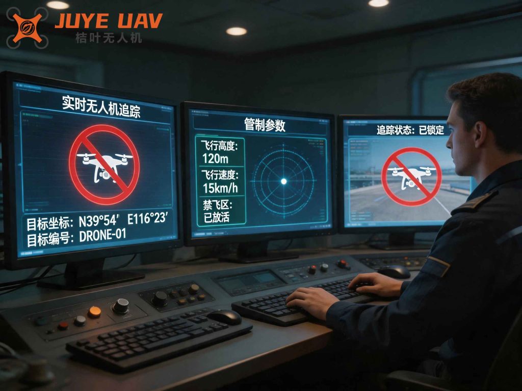
The screenshot above illustrates the unified dashboard that presents all inspection-related data in a single view.
| Module | Description |
|---|---|
| Dashboard | One-stop office interface that aggregates pending tasks, new violation projects, project tracking submissions, supervision replies, and route coincidence statistics. Users click each section to view and process items. |
| Task Management | Allows assignment of manual routine inspection tasks by defining line segments and personnel. An embedded algorithm checks real-time compliance with required inspection frequencies; if unmet, task creation is blocked to prevent schedule gaps. |
| Project Management | Manages all violation projects through their lifecycle – new, tracking, and closed. Details include monthly UAV orthophoto images that help administrators verify project boundaries and condition accuracy. |
| Sky-Ground Coordination | Displays UAV risk reports and associated photos for foreman review; also provides an interface to query UAV flight plans and execution logs. |
| Personnel Evaluation | Scores inspectors based on the completeness of reported project information. Each project starts with 100 points; deductions occur for missing fields. Scores are aggregated monthly, quarterly, and annually to assess individual and team performance. |
| Statistical Analysis | Provides multi-dimensional statistics (by project grade, line, district, and work type) with export functionality. Results are categorized into “balance” and “aggregate” views. |
Each module is designed to enforce drone regulation policies, such as ensuring no missed flights, guaranteeing timely risk reporting, and maintaining auditable records. The platform’s architecture supports both real-time and batch processing, accommodating the high data volume generated by daily UAV operations.
Conclusion
This study presents a comprehensive metro protection zone inspection and management platform driven by UAV technology and 3D GIS. By integrating automated construction detection, elevation change monitoring, and a structured workflow for task management, risk reporting, and performance assessment – all governed by strict drone regulation principles – the platform significantly improves inspection efficiency and accuracy while reducing labor dependency. Field applications confirm that the system meets the 95% threshold for both effective inspection rate and accuracy rate, making it a viable replacement for traditional manual patrols. Future work will focus on extending the platform to incorporate real-time airspace conflict detection and dynamic flight path optimization under evolving drone regulation frameworks.