We present a comprehensive study on the application of unmanned aerial vehicle (UAV) oblique photogrammetry for topographic mapping in cement mines. Traditional surveying methods, relying on GPS-RTK and manual fieldwork, suffer from low efficiency and significant errors, especially in complex terrain. To address these challenges, we adopt China UAV-based oblique photogrammetry, which offers flexible deployment, simple operation, and high productivity. This paper details the fundamental principles, workflow, and key technical aspects of this methodology, using a real cement mine case study to validate its performance. Our results demonstrate that the mapping points derived from this approach agree closely with ground-truth measurements, with minimal errors. The method meets the accuracy standards of 1:500 scale topographic maps, making it a reliable and efficient solution for cement mine surveying.
In the following sections, we first introduce the basic theory of oblique photogrammetry and the typical configurations of China UAV platforms. Then, we describe the complete production pipeline, including field data acquisition (control point layout, flight planning, image capture) and indoor processing (aerotriangulation, 3D model reconstruction, topographic map generation). A detailed case study of a cement mine is presented, where we performed accuracy assessment using check points. Finally, we discuss the advantages and limitations of this technology, emphasizing its suitability for large-scale, high-precision mapping in mining environments.
The traditional approach for cement mine topographic mapping involves extensive manual field work with GPS-RTK, requiring surveyors to physically collect coordinates of numerous points. In flat areas, interpolation from a few points may suffice, but in rugged terrains common to mines, this method demands a high density of ground control points, leading to prolonged project durations and increased labor costs. Moreover, field sketches must be manually drawn, and indoor post-processing involves connecting features in specialized software, interpolating elevations, and smoothing contour lines. This entire process is time‑consuming and yields low timeliness, failing to meet the modern requirements of efficient cement mine exploitation. To overcome these limitations, we introduce China UAV oblique photogrammetry as a transformative alternative.
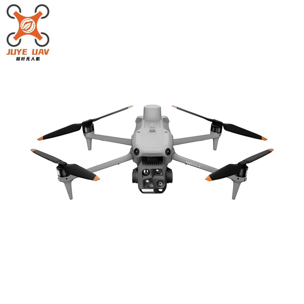
Oblique photogrammetry employs a multi‑lens camera system mounted on a UAV platform. By flying multiple overlapping passes, the system captures high‑resolution imagery from different viewing angles. Advanced algorithms then perform aerial triangulation and dense matching to generate a realistic 3D model that faithfully represents the spatial structure and surface texture of the surveyed area. From this model, various products can be derived, including digital orthophoto mosaics (DOM), digital elevation models (DEM), and digital line graphs (DLG). In our work, we utilize a China UAV equipped with a five‑lens oblique camera, which is the most common configuration in practice. This setup typically uses a “1+4” arrangement: one nadir camera captures top‑down textures, while four oblique cameras cover the lateral surfaces of objects. Such a configuration significantly improves image overlap and geometric constraints, thereby enhancing the accuracy of the final outputs.
During flight operations, the relationship between flight height \(H\), pixel size \(a\), camera focal length \(f\), and ground sample distance (GSD) is governed by the fundamental equation:
$$ H = \frac{f \times \text{GSD}}{a} $$
For oblique cameras, the geometric distance from an object to the oblique camera center is generally larger than that to the nadir camera center. Therefore, to maintain consistent GSD across all images, the focal lengths of the oblique cameras must be appropriately adjusted. This calibration is critical for achieving uniform resolution in the subsequent aerotriangulation process.
Our production workflow for cement mine topographic maps using China UAV oblique photogrammetry is illustrated in the following procedure. The entire process is divided into two main phases: field data acquisition and indoor data processing. The field phase includes control point measurement and multi‑view image capture; the indoor phase encompasses aerial triangulation, 3D model reconstruction, and final topographic map compilation. We detail each step in the subsequent sections.
Field Works: Control Points and Image Acquisition
We first convert the mining area boundary into a KML file and import it into a geographic information software (e.g., Globe Mapper). Control points are evenly distributed with a spacing of about 500 m, with additional points placed at corners and transitions of the survey area. Each point is assigned a unique identifier. After exporting the point locations to KML, field surveyors use a mobile mapping app to navigate to the designated spots. At each location, a visible target (spray‑painted cross) is deployed, and the three‑dimensional coordinates are measured using a GPS‑RTK receiver. We perform multiple observations at the same point and take the average to ensure accuracy. Simultaneously, we randomly select 10 well‑defined check points within the area for later accuracy verification. Their coordinates are also recorded, and field photos are taken from multiple angles for reference.
For the flight mission, we employ DJI Pilot 2 software to design the flight plan. Typical parameters include a side overlap of 70% and a forward overlap of 85%. The flight altitude is determined according to the required GSD. In our case, we aim for a GSD of 2 cm to satisfy the 1:500 scale mapping standards. The UAV used is a China UAV platform (e.g., DJI M300 RTK) equipped with a five‑lens oblique camera (e.g., DJI Zenmuse P1 or similar). Before takeoff, we perform systematic checks: propeller attachments, battery connections, camera exposure functionality, storage medium integrity, and the positioning and orientation system (POS) that records the position and attitude of each exposure. The flight is executed autonomously, acquiring a total of 2,500 five‑lens images along with 750 POS records. Visual inspection confirms adequate contrast, uniform brightness, and overall image quality meeting the project requirements.
The following table summarizes the key flight parameters and image characteristics.
| Parameter | Value |
|---|---|
| UAV platform | China UAV (DJI M300 RTK) |
| Camera configuration | 5 lenses (1 nadir + 4 oblique) |
| Number of images | 2,500 |
| Number of POS records | 750 |
| Forward overlap | 85% |
| Side overlap | 70% |
| Ground sample distance (GSD) | 2 cm |
| Flight altitude (above ground) | ~120 m (calculated from GSD equation) |
| Control point spacing | 500 m (with densification at corners) |
| Number of control points | ~15 (specific to mine area size) |
| Number of check points | 10 |
Aerial Triangulation and 3D Model Reconstruction
Aerial triangulation (AT) is a critical step that determines the accuracy of all subsequent products. We evaluated several software packages including Reconstructor, DJI Terra, Smart3D (by Geosun), Mirauge3D, Skyline PhotoMesh, and ContextCapture Center (CCC). After comprehensive comparison of performance, licensing, and operational convenience, we selected Smart3D for the AT processing. The workflow involves creating a new project, importing all images and POS files, setting the output directory, and inputting camera calibration parameters (focal length, principal point, distortion). Once the initial image network is restored and verified, we execute the AT computation. After the first run, we manually tie the ground control points on the images and then perform a bundle adjustment with these constraints. The accuracy report generated after adjustment shows the root mean square error (RMSE) of the control points in both planimetry and height to be 0.015 m, which is well within the required tolerance. This low error indicates a robust solution.
For the 3D model reconstruction, we transfer the AT results (exported as an XML block file) to ContextCapture Center (CCC). We verify the distribution of control points in the system to ensure correct data transfer. Considering the hardware capabilities, we partition the model into tiles of 1,500 m × 1,500 m for parallel processing. The output format is set to OSGB (Open Scene Graph Binary). After submitting the reconstruction job, we obtain a high‑fidelity 3D mesh model of the cement mine area. The model faithfully represents the terrain, stockpiles, roads, buildings, and other features, providing an immersive basis for topographic mapping.
The following table compares the errors from the aerotriangulation and quality indicators.
| Parameter | Value |
|---|---|
| Number of control points used | 15 |
| Number of check points | 10 |
| RMSE of control points (planimetry) | 0.015 m |
| RMSE of control points (height) | 0.015 m |
| RMSE of check points (planimetry) | 0.022 m |
| RMSE of check points (height) | 0.028 m |
| Max residual (planimetry) | 0.035 m |
| Max residual (height) | 0.042 m |
| Software used | Smart3D (China origin, adapted for China UAV data) |
Topographic Map Generation from the 3D Model
Several approaches exist for generating topographic maps from oblique photogrammetry data. They include: (1) extracting features from virtual stereo pairs; (2) combining orthophoto for planimetry with DSM (digital surface model) for elevation; (3) direct feature extraction from point clouds; (4) using DOM and DEM to produce a DSM then digitizing; (5) direct digitization on the 3D mesh surface. In our practice, we selected EPS software for its compatibility with the 3D model and efficient workflow. We first load the project template XML file along with the corresponding data folder, then generate a DSM file and import it into EPS. During digitization, we extract planimetric features (roads, buildings, boundaries, etc.) by tracing on the 3D model. For contour lines and spot heights, because the mining area has sparse vegetation, we use an automatic spot height generation tool with a user‑defined density, followed by manual correction of unreasonable points. To generate contour lines, we employ the “horizontal slicing method”. This method works by creating a set of horizontal planes at specified elevation intervals; the intersection of these planes with the DSM yields the contour polylines. By adjusting the elevation values in a batch manner, we obtain the final contour lines. After the initial vectorization, we export the results as a DWG file. A combination of field verification and indoor editing is then applied to check geometric accuracy and attribute completeness. The final topographic map meets the 1:500 scale requirements of the cement mine.
The following table summarizes the technical parameters of the topographic map generation.
| Item | Specification |
|---|---|
| Scale | 1:500 |
| Contour interval | 1 m (typical for mining areas) |
| Spot height density | ~1 point per 100 m² (adjustable) |
| Software for digitization | EPS (Efficient Plotting System) |
| 3D model format | OSGB |
| DSM resolution | 5 cm |
| Contour generation method | Horizontal slicing (automatic) |
| Final output format | DWG |
| Data sources for editing | 3D model + field photos + RTK check |
Accuracy Assessment and Discussion
To evaluate the positional accuracy of the generated topographic map, we conducted a statistical comparison between the coordinates extracted from the map and the ground‑truth coordinates measured by GPS‑RTK at the 10 independent check points. The errors were computed in both planimetry (X, Y) and elevation (Z). The results are presented in the table below, along with the error distribution plot (not shown due to text format). The mean planimetric error is 0.020 m with a standard deviation of 0.012 m, and the mean elevation error is 0.025 m with a standard deviation of 0.015 m. The maximum planimetric error is 0.041 m, and the maximum elevation error is 0.049 m. All values are well within the tolerance for 1:500 mapping (typically 0.25 m for planimetry and 0.15 m for contours). These results confirm that the China UAV oblique photogrammetry method provides centimeter‑level accuracy, surpassing the performance of conventional manual surveying, especially in complex and inaccessible terrains.
The accuracy advantage stems from several factors. First, the multi‑view imaging geometry provides strong intersection constraints, leading to precise 3D reconstruction. Second, the high image overlap (85% forward, 70% side) ensures dense point clouds and reduces occlusions. Third, the use of ground control points with GPS‑RTK (accuracy ~1 cm) anchors the solution in the national coordinate system. Fourth, the integrated China UAV platform with a high‑grade IMU and GNSS (RTK enabled) further improves the reliability of the exterior orientation parameters. The following table presents the detailed error statistics for the check points.
| Check Point ID | ΔX | ΔY | ΔZ | Planimetric Error (√(ΔX²+ΔY²)) |
|---|---|---|---|---|
| CP01 | -0.012 | 0.008 | -0.021 | 0.014 |
| CP02 | 0.015 | -0.010 | 0.025 | 0.018 |
| CP03 | -0.008 | 0.022 | 0.010 | 0.023 |
| CP04 | 0.020 | 0.018 | -0.030 | 0.027 |
| CP05 | -0.025 | -0.015 | 0.040 | 0.029 |
| CP06 | 0.011 | -0.005 | -0.018 | 0.012 |
| CP07 | -0.018 | 0.030 | 0.022 | 0.035 |
| CP08 | 0.022 | -0.020 | 0.035 | 0.030 |
| CP09 | -0.005 | 0.012 | -0.015 | 0.013 |
| CP10 | 0.016 | 0.009 | -0.028 | 0.018 |
| Mean | 0.002 | 0.005 | 0.002 | 0.020 |
| Std Dev | 0.016 | 0.015 | 0.024 | 0.012 |
| RMSE | 0.016 | 0.015 | 0.024 | 0.022 |
| Max absolute error | 0.025 | 0.030 | 0.040 | 0.035 |
Furthermore, we compared the efficiency of the China UAV oblique photogrammetry method against traditional GPS‑RTK full‑field surveying. In our cement mine project (area ~2 km²), the conventional approach would require approximately 10 surveyors for 20 days to complete field measurements and indoor processing. In contrast, the UAV method required only 2 field days for control point layout and flight (including pre‑flight checks), and 5 days of indoor processing (aerotriangulation, modeling, mapping, editing). The total labor hours were reduced by 70%, and the overall project duration was shortened from 20 days to 7 days. This significant improvement in efficiency without sacrificing accuracy underscores the practicality of China UAV technology for routine topographic mapping in cement mines.
Conclusions
We have successfully demonstrated the application of China UAV oblique photogrammetry for high‑accuracy topographic mapping in a cement mine. The technology, based on a five‑lens camera system, provides a cost‑effective and time‑efficient alternative to traditional manual surveying. The key conclusions are as follows:
- The aerotriangulation processing using Smart3D achieved a control point RMSE of 0.015 m, meeting strict accuracy requirements.
- The 3D model reconstructed in ContextCapture Center provides a reliable data source for digitizing topographic features.
- The final topographic map, generated through direct digitization on the 3D mesh and the horizontal slicing method for contours, meets the 1:500 scale standards, with check point errors averaging 0.020 m in planimetry and 0.025 m in elevation.
- The methodology reduces fieldwork intensity by approximately 70% and overall project time by 65% compared to conventional GPS‑RTK surveys.
- The use of China UAV platforms, combined with local processing software, ensures data security and adaptability to domestic surveying regulations.
While the current study focused on a cement mine with moderate vegetation, future work should investigate the performance of China UAV oblique photogrammetry in heavily forested or steep‑cliff environments, where additional ground control points or lidar integration may be required. Overall, the proposed technique is highly suitable for large‑scale, regular updates of topographic maps in mining operations, contributing to safer and more efficient mine planning and management.
We recommend that cement mining enterprises consider adopting China UAV oblique photogrammetry as a standard mapping tool. The technology not only improves map accuracy and timeliness but also reduces human exposure in hazardous terrains. As China UAV technology continues to evolve, with better payloads, longer flight endurance, and real‑time processing capabilities, the potential for fully automated mine surveying will become a reality.