
In modern law enforcement, the integration of advanced technology has become pivotal for enhancing public safety and operational efficiency. Our department has pioneered a comprehensive “drone-plus” policing framework, leveraging unmanned aerial vehicles to establish an air-ground integrated smart patrol and control system. This initiative transforms traditional policing methods by embedding drones into routine operations, enabling rapid response, strategic surveillance, and proactive crime prevention. Through systematic drone training and technological innovation, we have developed a model that not only addresses contemporary security challenges but also sets a benchmark for future smart city policing. This article delves into the intricacies of our approach, highlighting the six major policing systems, the emphasis on drone training, and the technical foundations that underpin this transformative endeavor.
The core of our strategy revolves around six “drone-plus” policing systems, each designed to address specific operational needs. These systems encompass surface patrol and control, emergency response, security maintenance, incident handling, investigative operations, and public awareness campaigns. By categorizing nine types of incidents for drone intervention—such as emergencies, large-scale events, and rescues—we ensure that drones are deployed systematically and synergistically with ground forces. The following table summarizes these systems and their key functions:
| Policing System | Key Functions | Incident Types Covered |
|---|---|---|
| Surface Patrol and Control | Aerial surveillance, route monitoring, crime deterrence | Street disputes, theft-prone areas, night patrols |
| Emergency Response | Rapid deployment, real-time imagery, lifesaving interventions | Suicide attempts, accidents, natural disasters |
| Security Maintenance | Crowd monitoring, event security, threat detection | Concerts, sports events, public gatherings |
| Incident Handling | Scene assessment, evidence collection, suspect tracking | Violent crimes, traffic incidents, environmental hazards |
| Investigative Operations | Aerial reconnaissance, data analysis, suspect identification | Complex cases, fugitive searches, forensic surveys |
| Public Awareness Campaigns | Broadcast messages, educational outreach, community engagement | Anti-fraud, drowning prevention, safety tips |
To operationalize these systems, we have adopted various patrol models that maximize the efficiency of air-ground coordination. By dividing the area into 13 aerial patrol grids, each with a response time of under three minutes, we ensure comprehensive coverage. Models like “one drone per response circle” for key locations, “one drone per segment” for major roads, and “one drone per post” for security booths are implemented to enhance visibility and deterrence. The autonomy of drones is critical here, with over 80% of flights conducted via automated routes along 13 predefined paths with 39 hovering points. This structured approach not only fills gaps in ground patrols but also adapts dynamically to shifting crime patterns, such as during late-night hours or in densely populated zones. The effectiveness of this model can be expressed through a performance metric: $$ E_p = \frac{N_s}{T_a} \cdot \alpha $$ where \( E_p \) is patrol efficiency, \( N_s \) is the number of successful interventions, \( T_a \) is the average response time, and \( \alpha \) is a calibration factor based on environmental conditions. This formula underscores how rapid drone deployment, fueled by rigorous drone training, directly enhances operational outcomes.
Central to our success is the foundational investment in drone training, which we regard as the backbone of our program. We have established a phased training plan aimed at equipping all frontline personnel with drone operation skills, ensuring that drones become an integral tool in daily policing. The training curriculum spans 13 specialized modules, covering everything from basic flight controls to advanced tactical applications. Our goal is to train 328 operators within a year, fostering a culture where drone usage is second nature. The impact of drone training can be modeled using a learning curve equation: $$ C_t = C_0 \cdot e^{-k \cdot n} $$ where \( C_t \) represents the error rate after \( n \) training sessions, \( C_0 \) is the initial error rate, and \( k \) is the learning coefficient derived from hands-on practice. This emphasizes that consistent drone training reduces operational errors and boosts confidence among operators. Moreover, we have formed dedicated drone teams, including instructors and maintenance crews, to support continuous skill development. The table below outlines key training components:
| Training Module | Description | Duration | Outcome Metrics |
|---|---|---|---|
| Basic Flight Operations | Fundamentals of drone piloting, safety protocols | 40 hours | Flight accuracy, compliance rate |
| Tactic | Incident response, aerial surveillance techniques | 60 hours | Response time, situational awareness |
| Technical Maintenance | Drone upkeep, troubleshooting, software updates | 30 hours | Downtime reduction, repair efficiency |
| Data Analysis | Interpreting aerial imagery, using AI tools | 50 hours | Data accuracy, decision-making speed |
| Advanced Applications | 3D modeling, crowd density assessment, night operations | 70 hours | Mission success rate, innovation index |
Drone training is not merely about skill acquisition; it is about embedding a mindset of innovation and adaptability. Through simulated scenarios and real-world drills, operators learn to leverage drones for diverse tasks, from diffusing conflicts via loudspeakers to conducting search-and-rescue missions in challenging terrains. The integration of drone training into our daily routines has led to a 97.3% on-scene arrival rate within three minutes for drone-assisted incidents, showcasing the tangible benefits of this investment. As part of our commitment to excellence, we incorporate continuous feedback loops into training programs, using performance data to refine curricula and address emerging needs. This iterative process ensures that drone training remains relevant and effective, aligning with evolving technological landscapes.
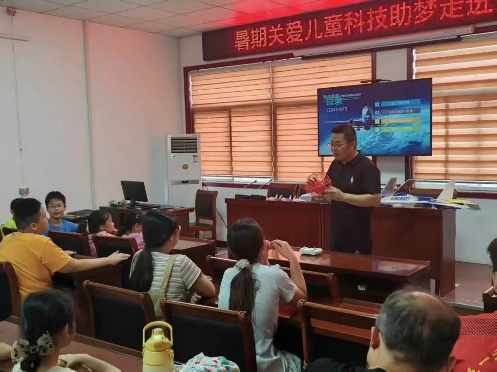
Technological advancement serves as another cornerstone of our drone program. We have developed a smart flight control platform that integrates all drones into a unified network, enabling real-time monitoring, route planning, and data synchronization. This platform facilitates seamless coordination between air and ground units, with drones feeding live footage to command centers for informed decision-making. For instance, during large-scale events at major venues, we employ 3D modeling techniques to create digital twins of the area, allowing for precise crowd management. The crowd density assessment algorithm is encapsulated in the formula: $$ D(x,y,t) = \frac{\sum_{i=1}^{N} \delta(x_i – x, y_i – y)}{A \cdot \Delta t} $$ where \( D(x,y,t) \) represents density at coordinates \( (x,y) \) and time \( t \), \( N \) is the number of individuals detected, \( A \) is the area unit, and \( \Delta t \) is the time interval. This model helps predict congestion points and deploy resources proactively, ensuring smooth crowd dispersal—often within 30 minutes post-event. Furthermore, our drone fleet includes a variety of models, from small quadcopters for agile maneuvers to larger units with extended battery life and payload capacities. The table below details our drone inventory:
| Drone Type | Size Category | Key Features | Operational Range |
|---|---|---|---|
| Multi-rotor UAV | Small | High agility, real-time video, speaker attachment | 5 km |
| Fixed-wing UAV | Medium | Long endurance, wide-area surveillance, mapping capabilities | 20 km |
| Hybrid VTOL UAV | Large | Vertical take-off, heavy payload, advanced sensors | 50 km |
The synergy between technology and drone training is evident in our command structure, which employs a “1+4+N” drone patrol and response system. This framework connects the central command, substation control rooms, and various field units, embedding drones into the intelligence-led policing ecosystem. When an incident is reported, dispatchers and drone operators collaborate to assess the situation, and if needed, dispatch the nearest drone for aerial support. The response time optimization can be expressed as: $$ T_r = \min_{i \in S} \left( \frac{d_i}{v_i} + c_i \right) $$ where \( T_r \) is the optimized response time, \( d_i \) is the distance of drone \( i \) to the incident, \( v_i \) is its speed, \( c_i \) is the activation delay, and \( S \) is the set of available drones. This mathematical approach ensures minimal latency, with drones often arriving before ground crews—a testament to the efficacy of our integrated system. Additionally, we engage in cross-sector collaborations, sharing drone data with environmental, agricultural, and emergency agencies to foster a holistic safety network. Such partnerships amplify the utility of drones beyond policing, contributing to community resilience and sustainable development.
In practical terms, the application of drones has revolutionized our response to diverse scenarios. For example, in emergency rescues, drones provide critical aerial perspectives that guide lifesaving actions, while in crime prevention, their presence deters illicit activities in poorly lit or remote areas. The use of drones for public awareness—through broadcasts on fraud prevention or water safety—has reached over 50,000 citizens, enhancing community trust. These successes are underpinned by relentless drone training, which ensures that operators can harness drones’ full potential under pressure. Looking ahead, we plan to expand our drone capabilities by integrating artificial intelligence for autonomous threat detection and predictive analytics. This evolution will require ongoing drone training to keep pace with technological strides, reinforcing our commitment to innovation. Ultimately, our drone-empowered smart patrol and control system represents a paradigm shift in policing, where aerial assets complement human efforts to create safer, more responsive communities. By prioritizing drone training and technological integration, we are not only addressing today’s challenges but also paving the way for a future where smart law enforcement is the norm.