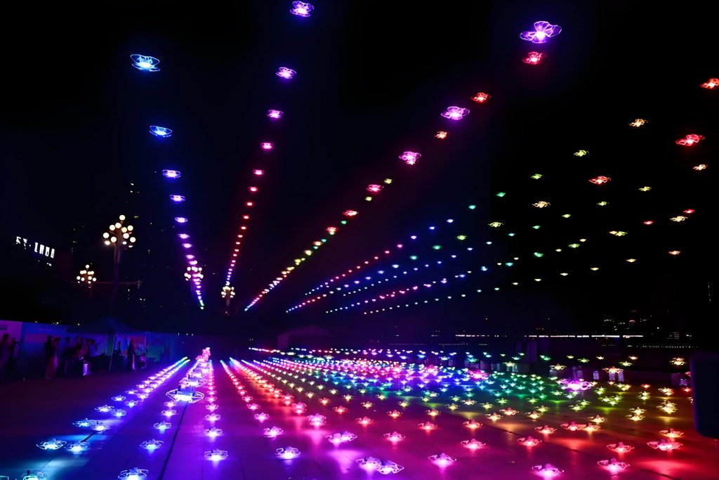
As a researcher deeply involved in radio spectrum management, I have observed the critical role of spectrum resources as a foundational element for global technological advancement and industrial development. The rapid expansion of low-altitude economies has propelled the widespread use of drones across various sectors, including aerial photography, agricultural protection, disaster response, and notably, drone shows and drone performances. These spectacular displays, such as large-scale coordinated drone light shows, have gained immense popularity for entertainment and promotional events. However, the proliferation of drones has also spurred the development of drone countermeasure facilities designed to mitigate unauthorized drone activities. While these countermeasures are essential for security, they pose significant risks of radio frequency interference, which can disrupt critical systems like public communications, navigation, and even endanger drone performances. In this article, I propose an integrated supervision system to address these challenges, focusing on ensuring the safety and reliability of drone shows and drone performances through comprehensive monitoring and management.
The increasing incidence of interference from drone countermeasure facilities highlights the urgent need for a robust regulatory framework. For instance, in a notable drone show incident, approximately 600 drones malfunctioned and fell during a performance, suspectedly due to interference from countermeasure systems. This event underscores the vulnerability of drone performances to electromagnetic disturbances, which can lead to catastrophic failures. Similarly, other cases involve interference with metro communication systems and public mobile networks, emphasizing the broader implications for public safety and economic activities. To tackle this, I have designed a supervision system that incorporates advanced signal perception, intelligent assessment, and secure network infrastructure. This system aims to provide end-to-end management, from preventive measures to real-time monitoring and post-event analysis, ensuring that drone shows and drone performances operate without disruption.
The core of my proposed system lies in its modular architecture, which enables efficient detection and control of drone countermeasure facilities. Each module is designed to handle specific aspects of supervision, such as signal monitoring, data analysis, and network security. Below, I present a table summarizing the key modules and their functions, which form the backbone of the supervision system. This structured approach ensures that all potential interference sources are identified and managed proactively, safeguarding sensitive operations like drone performances.
| Module | Primary Function | Key Components |
|---|---|---|
| Basic Network Infrastructure | Provides secure data transmission and storage | Internal and external servers, one-way gateways |
| Signal Perception Module | Monitors radio signals from countermeasures | Vehicle-mounted, drone-mounted detectors, edge spectrum sensors |
| Intelligent Assessment Module | Analyzes data for decision support | Facility management, spectrum analysis, alert systems |
In the signal perception module, I employ various detection units to capture real-time data on frequency, power, and bandwidth of countermeasure emissions. For example, the drone-mounted lightweight detection module is crucial for assessing the coverage range of countermeasure facilities during drone shows. It utilizes navigation systems like BeiDou and GPS to map signal strength distributions. The signal strength at a distance can be modeled using the path loss formula, which I often apply in analyses:
$$ L = 32.44 + 20 \log_{10} d + 20 \log_{10} f $$
Here, \( L \) represents the path loss in dB, \( d \) is the distance in kilometers, and \( f \) is the frequency in MHz. This equation helps in predicting interference levels and optimizing the placement of countermeasure facilities to avoid affecting drone performances. Additionally, I integrate edge spectrum sensors for continuous monitoring, which can detect anomalies such as unauthorized frequency usage or power deviations. These sensors are deployed in fixed locations to provide long-term data on electromagnetic environment changes, ensuring that drone shows are not compromised by sudden interference.
The intelligent assessment module processes the collected data to evaluate the performance and compatibility of countermeasure systems. For instance, I have developed algorithms to calculate the effective range of countermeasure facilities and assess their impact on nearby systems. One key metric is the signal-to-interference ratio, which determines the robustness of drone performances against external disruptions. This can be expressed as:
$$ \text{SIR} = \frac{P_{\text{signal}}}{P_{\text{interference}}} $$
where \( P_{\text{signal}} \) is the power of the desired signal, and \( P_{\text{interference}} \) is the power of interfering signals. By monitoring this ratio, the system can trigger alerts when thresholds are exceeded, allowing for immediate corrective actions. Moreover, I use statistical models to analyze power variations over time, which is vital for predicting potential failures in drone shows. The table below illustrates a sample dataset of power measurements collected during a drone performance event, highlighting how fluctuations can indicate emerging interference issues.
| Time (minutes) | Frequency (MHz) | Power (dBm) | Status |
|---|---|---|---|
| 0 | 2400 | -50 | Normal |
| 5 | 2400 | -30 | Warning |
| 10 | 2400 | -20 | Critical |
To manage drone countermeasure facilities effectively, I have implemented a lifecycle approach covering pre-event, during-event, and post-event phases. In the pre-event phase, I focus on preventive measures such as device registration and compatibility assessments. For example, before a major drone show, all countermeasure facilities in the vicinity are tested to ensure they do not operate on frequencies that could interfere with the drone control signals. This involves verifying technical parameters like frequency tolerance and emission power using the following compliance check formula:
$$ P_{\text{max}} = P_{\text{registered}} + \Delta P $$
where \( P_{\text{max}} \) is the maximum allowable power, \( P_{\text{registered}} \) is the registered power level, and \( \Delta P \) is a tolerance margin. Facilities exceeding this limit are flagged for adjustment, thereby reducing the risk of disrupting drone performances. Additionally, I conduct simulations to evaluate the electromagnetic compatibility between countermeasure systems and critical infrastructure, such as aviation navigation, which is essential for safe drone operations.
During events, real-time monitoring is crucial. I deploy mobile detection units, such as vehicle-based systems, to dynamically assess the countermeasure coverage and signal intensity. These units collect data on key indicators like bandwidth and frequency stability, which are transmitted to the central assessment module for analysis. If anomalies are detected, such as irregular power spikes, the system automatically issues alerts and can initiate control actions, such as temporarily disabling a countermeasure facility. This proactive monitoring ensures that drone shows proceed smoothly, without interruptions caused by electromagnetic interference. The responsiveness of the system is quantified using a latency metric, which I aim to minimize through optimized network design:
$$ \text{Latency} = t_{\text{processing}} + t_{\text{transmission}} $$
Here, \( t_{\text{processing}} \) is the data analysis time, and \( t_{\text{transmission}} \) is the network delay. By keeping latency low, the system can quickly adapt to changing conditions during live drone performances.
Post-event management involves retrospective analysis and optimization. After a drone show, I review all recorded data to identify any interference incidents and their root causes. For instance, if a countermeasure facility caused a dropout in drone communication, I use data logs to trace the source and implement corrective measures, such as retuning the facility’s parameters. This process includes trend analysis to predict future risks, enabling continuous improvement in the supervision system. The effectiveness of these measures can be evaluated using a performance index, which I define as:
$$ \text{Performance Index} = \frac{\text{Number of Incident-Free Shows}}{\text{Total Shows}} \times 100\% $$
By tracking this index over time, I can assess the long-term impact of the supervision system on enhancing the reliability of drone performances. Furthermore, I archive all incident data to refine predictive models and update regulatory standards, ensuring that the system evolves with technological advancements.
In conclusion, the integration of these modules into a cohesive supervision system represents a significant step forward in managing drone countermeasure facilities. My design emphasizes the importance of safeguarding drone shows and drone performances from electromagnetic interference, through a combination of advanced sensing, intelligent analytics, and secure infrastructure. The use of mathematical models and real-time data processing allows for precise control and rapid response, minimizing the potential for disruptions. As drone technology continues to advance, with an increasing emphasis on large-scale drone performances for entertainment and commercial purposes, this system will play a pivotal role in maintaining electromagnetic order and supporting the growth of the low-altitude economy. Future work will focus on incorporating artificial intelligence to enhance predictive capabilities and expanding the system’s deployment to cover more complex scenarios, ultimately ensuring that drone shows remain a safe and captivating experience for all.