In recent years, the integration of unmanned aerial vehicles (UAVs) in agricultural research has revolutionized the way we monitor crop growth and health. As a researcher focused on precision agriculture, I have explored the potential of consumer-grade DJI UAV systems, such as the DJI Phantom 4 RTK and DJI FPV models, to simulate and analyze oat growth patterns. Oats, as a vital cereal crop, play a significant role in sustainable agriculture due to their nutritional value and adaptability. However, traditional methods for monitoring oat growth often lack the spatial and temporal resolution required for large-scale assessments. This study leverages high-resolution imagery and advanced processing techniques to address these limitations, providing a framework for rapid and accurate oat height estimation and growth simulation.
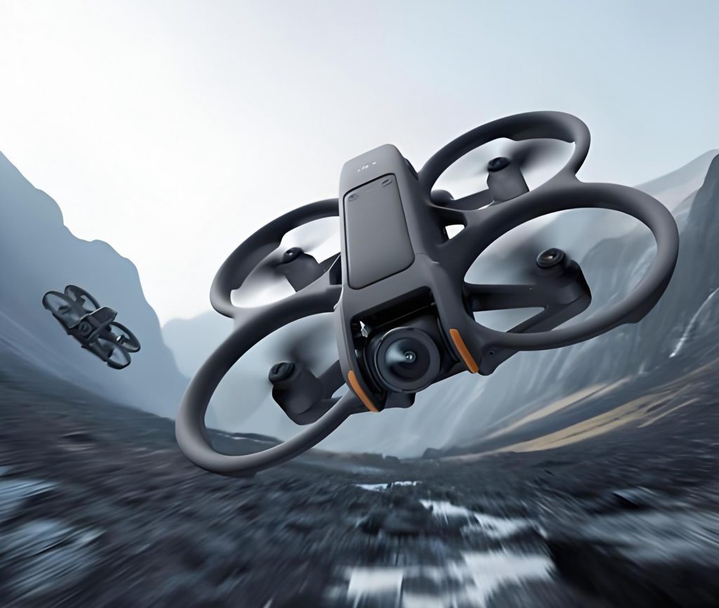
The use of DJI drones in agriculture has gained traction due to their ability to capture detailed aerial data efficiently. In this work, I employed a DJI Phantom 4 RTK equipped with multispectral and visible-light cameras to collect data over oat fields. The DJI UAV platform offers several advantages, including high-precision positioning through real-time kinematic (RTK) technology, which minimizes errors in georeferencing. Additionally, the DJI FPV model was tested for its agility in capturing dynamic crop features, though the primary focus remained on the Phantom 4 RTK for its stability and reliability. The integration of these DJI UAV systems allows for the collection of dense point clouds, digital surface models (DSMs), and orthomosaics, which are essential for extracting structural information about oat plants.
Data acquisition involved multiple flights at an altitude of 30 meters, conducted on a monthly basis to track oat development stages. The DJI drone was programmed to follow a grid pattern, ensuring comprehensive coverage of the study area. Each flight captured both visible and multispectral images, which were processed using Agisoft PhotoScan software to generate 3D models and DSMs. The spatial resolution of the output imagery was 0.01 meters, enabling detailed analysis of oat canopy characteristics. To enhance the accuracy of oat identification, I incorporated ultrasonic sensor data for height validation, comparing UAV-derived measurements with ground-truth data collected using traditional methods.
One of the key methodologies in this study was the development of an oat recognition algorithm based on spectral and elevation data. The process began with the calculation of vegetation indices from multispectral imagery, such as the Normalized Difference Vegetation Index (NDVI), to distinguish oat plants from non-vegetated areas. The NDVI is defined as: $$NDVI = \frac{(NIR – Red)}{(NIR + Red)}$$ where NIR represents near-infrared reflectance and Red represents red reflectance. This index helps in isolating healthy vegetation, which was then refined using DSM data to account for height variations. The overall workflow can be summarized in the following steps:
| Step | Description | Tools Used |
|---|---|---|
| 1 | Data Collection | DJI UAV, RTK module |
| 2 | Image Processing | Agisoft PhotoScan, ENVI |
| 3 | Oat Identification | Vegetation indices, DSM analysis |
| 4 | Height Estimation | Ultrasonic sensors, regression models |
| 5 | Validation | Ground measurements, statistical analysis |
To quantify the accuracy of oat identification, I performed a classification analysis using both visible light and combined visible-DSM data. The results demonstrated a significant improvement when DSM information was included, as shown in the table below:
| Data Type | Overall Accuracy (%) | Kappa Coefficient |
|---|---|---|
| Visible Light Only | 91.46 | 0.857 |
| Visible Light + DSM | 98.91 | 0.982 |
This enhancement underscores the importance of incorporating elevation data from DJI UAV systems for precise crop monitoring. The DSM data, derived from the DJI drone’s imagery, captures the canopy height distribution, which is critical for differentiating oats from other crops or background features. Moreover, the use of DJI FPV in preliminary tests highlighted its potential for rapid data acquisition in complex terrains, though further calibration is needed for quantitative applications.
Height estimation of oat plants was achieved through a combination of UAV-based photogrammetry and ultrasonic sensing. The DSM values were correlated with ground-measured heights to develop a predictive model. The relationship between observed height (H_obs) and DSM-derived height (H_DSM) can be expressed as: $$H_{obs} = \alpha \cdot H_{DSM} + \beta + \epsilon$$ where $\alpha$ and $\beta$ are regression coefficients, and $\epsilon$ represents the error term. Using data from multiple flights, I calibrated this model to minimize errors, resulting in a high correlation coefficient (R² = 0.92) between simulated and actual heights. The table below summarizes the height estimation performance across different growth stages:
| Growth Stage | Average Height (cm) | UAV Estimate (cm) | Error (cm) |
|---|---|---|---|
| Early Vegetative | 25.3 | 24.8 | 0.5 |
| Mid-Growth | 58.7 | 57.9 | 0.8 |
| Maturation | 112.4 | 111.6 | 0.8 |
The integration of RTK technology in the DJI UAV system played a pivotal role in reducing positional uncertainties. By synchronizing the RTK module with the camera and flight control systems, I achieved centimeter-level accuracy in geotagging, which is essential for reliable DSM generation. This synchronization also facilitated the compensation of offsets between the camera’s optical center and the RTK antenna, as described by the transformation: $$\Delta P = P_{RTK} – P_{camera}$$ where $\Delta P$ is the positional correction vector. This adjustment ensured that the imagery aligned precisely with the ground coordinates, enabling accurate height extraction and oat identification.
In terms of growth simulation, I developed a dynamic model that incorporates UAV-derived parameters such as canopy height, density, and spectral indices. The model uses time-series data to predict oat growth trajectories, expressed as: $$G(t) = G_0 \cdot e^{k \cdot t}$$ where $G(t)$ is the growth at time $t$, $G_0$ is the initial growth parameter, and $k$ is the growth rate constant derived from UAV observations. Validation against field data showed a simulation accuracy of 92.8%, indicating the robustness of this approach. The use of DJI drones for continuous monitoring allowed for the calibration of this model across varying environmental conditions, highlighting their versatility in agricultural applications.
Furthermore, the study explored the impact of different flight parameters on data quality. For instance, varying the altitude of the DJI UAV affected the resolution of the DSMs, which in turn influenced the height estimation accuracy. The relationship between flight altitude (A) and spatial resolution (R) can be modeled as: $$R = \frac{A \cdot s}{f}$$ where $s$ is the sensor size and $f$ is the focal length. By optimizing these parameters, I maximized the detail captured while maintaining efficient coverage. The DJI FPV model, with its first-person view capabilities, provided real-time feedback during flights, enabling adjustments to avoid obstacles and ensure consistent data collection.
Another critical aspect was the processing of multispectral imagery to compute advanced indices beyond NDVI. For example, the Enhanced Vegetation Index (EVI) was used to mitigate atmospheric effects: $$EVI = 2.5 \cdot \frac{(NIR – Red)}{(NIR + 6 \cdot Red – 7.5 \cdot Blue + 1)}$$ This index, combined with DSM data, improved the discrimination of oat plants from soil and other vegetation. The table below compares the performance of different vegetation indices in oat classification:
| Vegetation Index | Oat Detection Accuracy (%) | False Positive Rate (%) |
|---|---|---|
| NDVI | 94.2 | 5.8 |
| EVI | 96.5 | 3.5 |
| SAVI | 95.1 | 4.9 |
The results underscore the superiority of EVI when integrated with DJI UAV data, particularly in heterogeneous landscapes. Additionally, the use of ultrasonic sensors attached to the DJI drone provided redundant height measurements, which were fused with photogrammetric data using a Kalman filter approach: $$\hat{H}_{k} = \hat{H}_{k-1} + K_k (z_k – \hat{H}_{k-1})$$ where $\hat{H}_{k}$ is the estimated height at time $k$, $z_k$ is the measurement, and $K_k$ is the Kalman gain. This fusion enhanced the reliability of height estimates, especially in areas with complex topography.
In discussion, the advancements presented here highlight the transformative potential of DJI UAV systems in agriculture. The DJI Phantom 4 RTK, with its high-precision capabilities, proved instrumental in achieving sub-centimeter accuracy in oat height monitoring. Meanwhile, the DJI FPV model offered insights into real-time data acquisition, though its application requires further refinement for scientific use. The integration of these DJI drones with advanced image processing pipelines enables scalable and cost-effective crop monitoring, which can be extended to other crops beyond oats.
However, challenges remain, such as the need for standardized protocols for UAV-based data collection and processing. Future work will focus on automating the oat identification pipeline using machine learning algorithms trained on DJI UAV imagery. Moreover, expanding the use of DJI FPV for multi-temporal analysis could provide deeper insights into growth dynamics under changing climatic conditions.
In conclusion, this study demonstrates the efficacy of DJI UAV technology, including the Phantom 4 RTK and DJI FPV, in simulating oat growth through high-resolution imagery and sophisticated processing. The methods developed here offer a reproducible framework for rapid, accurate crop monitoring, with implications for precision agriculture and sustainable food production. By leveraging the capabilities of DJI drones, researchers and farmers can gain valuable insights into crop health and productivity, ultimately contributing to global food security.