
As a researcher deeply embedded in the fields of agricultural engineering and technology diffusion, I observe a critical convergence of global challenges and technological opportunities. The imperative to achieve food security, particularly in regions burdened by climatic vulnerability and resource scarcity, has never been more urgent. Simultaneously, the digital revolution offers tools of unprecedented precision and efficiency. This article synthesizes insights from key technological and strategic domains, arguing that a synergistic integration of modern irrigation management and advanced digital platforms, prominently featuring agricultural UAV technology, is pivotal for transforming agri-food systems towards sustainability and self-sufficiency.
The core challenge is multifaceted. In many developing regions, agricultural productivity remains constrained by reliance on erratic rainfall, leading to cycles of hunger and economic stagnation. Improving water management through irrigation is a foundational step, but its implementation, especially for smallholder farmers, is fraught with logistical and financial hurdles. Concurrently, maximizing the efficacy of agricultural inputs, such as pesticides and fertilizers, is essential for both economic and environmental sustainability. It is here that digital technologies, particularly those deployed via agricultural UAV platforms, transition from being optional tools to central components of a solution-oriented strategy.
The Dual Challenge: Water Security and Input Efficiency
The quest for food self-sufficiency, particularly in Sub-Saharan Africa, is intrinsically linked to water security. Irrigation development is not merely an agricultural activity; it is a catalyst for broader economic development, enabling crop diversification, intensification, and the growth of agro-processing industries. However, the historical trajectory of large-scale irrigation schemes offers cautionary tales regarding sustainability, equity, and environmental impact. The contemporary approach must prioritize smallholder-centric, efficient, and context-appropriate systems.
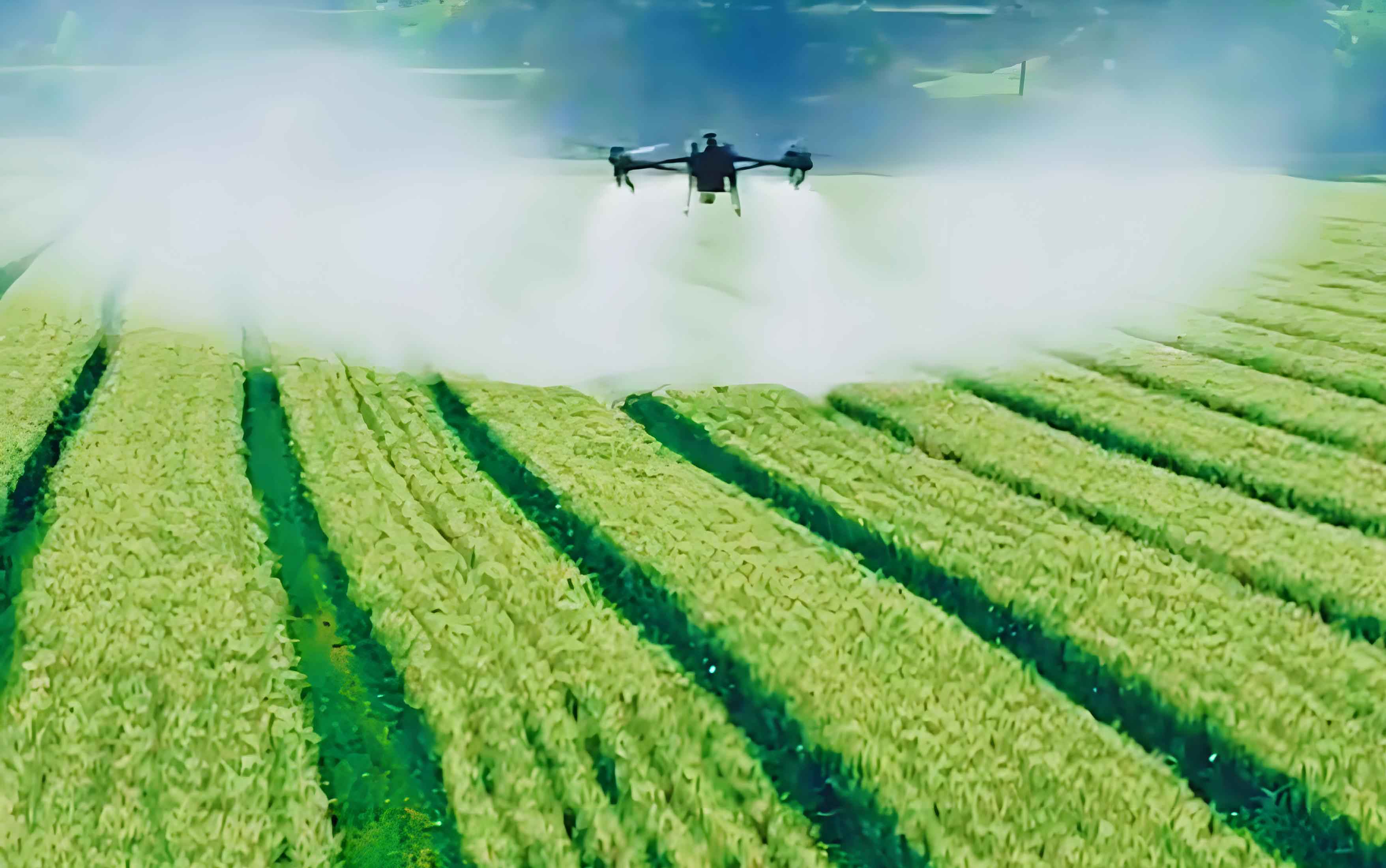
Parallel to the water challenge is the issue of application efficiency. Conventional broadcast methods of applying agrochemicals are notoriously inefficient, with significant proportions of material failing to reach the target canopy, leading to economic waste, environmental contamination, and increased chemical residues. Measuring and optimizing the deposition pattern of sprayed materials is therefore a critical research and operational focus. The emergence of the agricultural UAV as a versatile application platform necessitates the development of equally advanced methodologies to quantify its performance.
Modernizing Irrigation for Smallholder Resilience
My analysis of irrigation needs reveals that success hinges on moving beyond one-size-fits-all solutions. Sub-Saharan Africa encompasses diverse agro-ecological zones, each with unique hydrology, soil types, and socio-economic contexts. Sustainable irrigation development requires tailored interventions. The following table summarizes key considerations and potential technology fits for different farm scales and contexts.
| Agro-Ecological Context | Primary Constraint | Appropriate Irrigation Intervention | Role of Digital Tools / agricultural UAV |
|---|---|---|---|
| Arid & Semi-Arid Lowlands | Severe water scarcity, high evaporation | Drip irrigation, solar-powered micro-systems, groundwater management | UAV-based terrain mapping for system design, NDVI monitoring for crop stress |
| Humid Highlands | Topography, soil erosion, water distribution | Low-pressure sprinklers, rainwater harvesting, terrace-integrated systems | agricultural UAV for erosion assessment, precision spraying on terraces |
| Riverine & Floodplain Areas | Seasonal flooding, waterlogging | Controlled drainage, recession irrigation, raised beds | Flood mapping and monitoring using UAVs |
| Smallholder Common (<2 ha) | Capital, labor, energy access | Manual treadle pumps, bucket drip kits, variable rate application via agricultural UAV | UAVs for leasing services (spraying, mapping); mobile apps for irrigation scheduling |
| Emerging Commercial Farms | System efficiency, input optimization | Center pivots, automated drip, integrated sensor networks | Fleet of agricultural UAV for multispectral scouting and spot-treatment |
The economic viability of these interventions can be modeled. The Net Present Value (NPV) of adopting an efficient irrigation system combined with precision services from an agricultural UAV can be expressed as:
$$
NPV = \sum_{t=1}^{T} \frac{(R_t – C_t^{irr} – C_t^{UAV})}{(1 + r)^t} – I_0^{irr} – I_0^{UAV}
$$
Where:
– \( R_t \) = Revenue in year \( t \) from increased/diversified yield.
– \( C_t^{irr} \) = Annual operating cost of irrigation (energy, maintenance).
– \( C_t^{UAV} \) = Annual cost of agricultural UAV services (leasing, data analytics).
– \( I_0^{irr} \) = Initial investment in irrigation infrastructure.
– \( I_0^{UAV} \) = Initial investment in UAV hardware/software (or contracting fee).
– \( r \) = Discount rate.
– \( T \) = Project lifespan.
A positive NPV indicates financial sustainability. The model shows that while initial costs (\( I_0 \)) may be higher for technology-integrated farms, the recurrent benefits \( R_t \) from precision and the reduction in waste (lower \( C_t^{UAV} \) per effective unit of output) are crucial drivers of long-term profitability.
The agricultural UAV as a Precision Application and Sensing Node
The agricultural UAV has evolved from a novel gadget to an essential component of the digital farm. Its primary roles are:
- Remote Sensing: Capturing high-resolution spectral data to monitor crop health, water stress (via indices like NDWI), and biomass.
- Precision Application: Targeted spraying of liquids (pesticides, fertilizers, growth regulators) and granular materials (seed, beneficial insects).
The efficacy of the second role—spraying—is paramount. The key metric is deposition quality, characterized by parameters such as Droplet Coverage (DC), Droplet Density (DD), and Volume Median Diameter (VMD). To optimize this, we must first be able to measure it accurately and efficiently across large fields.
Advanced Metrology for agricultural UAV Spray Deposition
Traditional methods of collecting spray cards and analyzing them under microscopes or scanners are labor-intensive and slow. Spectroscopy offers a rapid, high-throughput alternative. The underlying principle is that a fluorescent tracer mixed with the spray solution will absorb and emit light at characteristic wavelengths when deposited on a collection medium (e.g., a paper tape). The intensity of this fluorescence is proportional to the amount of tracer deposited, which correlates with droplet coverage.
The process involves a calibrated chain from physical collection to predictive modeling:
- Collection: Paper tape samplers are deployed in the field during an agricultural UAV spray operation with a fluorescing solution.
- Spectral Acquisition: The tapes are scanned using a spectrophotometer, yielding a raw spectral reflectance/fluorescence curve \( R(\lambda) \).
- Spectral Pre-processing: Raw spectra contain noise (from paper texture, ambient light). Algorithms like Savitzky-Golay (S-G) smoothing and Standard Normal Variate (SNV) correction are applied. S-G smoothing fits a polynomial to successive segments of the spectrum:
$$ R_{sg}[n] = \frac{1}{N} \sum_{m=-M}^{M} h[m] R[n-m] $$
where \( h[m] \) are convolution coefficients from a polynomial fit. SNV corrects for scatter:
$$ R_{snv}(\lambda) = \frac{R(\lambda) – \bar{R}}{\sigma_R} $$
where \( \bar{R} \) and \( \sigma_R \) are the mean and standard deviation of the spectrum. - Model Development: A predictive model linking pre-processed spectral data to a reference measurement of Droplet Coverage (DC, measured via traditional image analysis) is built. Partial Least Squares (PLS) regression is particularly suited for this as it handles multicollinearity in spectral data.
The PLS model finds latent variables (LVs) that maximize covariance between the spectral matrix \( X \) (predictors) and the coverage vector \( y \) (response). The model is:
$$ X = TP^T + E $$
$$ y = Tq^T + f $$
where \( T \) is the score matrix, \( P \) and \( q \) are loadings, and \( E \) and \( f \) are residuals. The prediction is:
$$ \hat{y} = X W (P^T W)^{-1} q^T $$
where \( W \) is a weight matrix.
The superiority of the PLS approach over a simple Linear Regression (LR) on selected wavelengths is evident in key validation metrics. Consider a dataset where Droplet Coverage (DC) is predicted from spectral features.
| Model Type | Calibration R² | Root Mean Square Error of Calibration (RMSEC) | Validation R² (RV²) | Root Mean Square Error of Prediction (RMSEP) |
|---|---|---|---|---|
| Linear Regression (LR) | 0.91 | 1.65 | 0.88 | 1.94 |
| Partial Least Squares (PLS) | 0.96 | 0.82 | 0.94 | 0.94 |
The higher \( R_V^2 \) and significantly lower RMSEP for the PLS model demonstrate its robustness and superior predictive accuracy for measuring the deposition patterns of an agricultural UAV. This rapid assessment method closes the loop, enabling near-real-time feedback for adjusting agricultural UAV flight parameters (altitude, speed, nozzle type) to optimize spray outcomes.
Towards an Integrated, Data-Driven System
The true potential of an agricultural UAV is unlocked when it functions not as an isolated tool but as a node within an integrated farm management system. This system leverages data from multiple sources.
The Integrated Data Flow for a Precision Farm:
- Planning & Prescription: Historical yield maps, soil ECa surveys (sometimes conducted by UAV), and satellite imagery define management zones. A prescription map \( Z(x,y) \) is generated, specifying input needs (water, nitrogen, pesticide) for each zone.
- Mission Execution: The prescription map is uploaded to the agricultural UAV fleet management system. For irrigation, the map triggers variable rate irrigation (VRI) controllers. For spraying, it guides the agricultural UAV to apply products at variable rates \( R(Z) \). The application rate for a zone can be a function of a vegetation index (e.g., NDVI) derived from earlier UAV scouting:
$$ R(Z) = \alpha \cdot (1 – NDVI_Z) + \beta $$
where \( \alpha \) and \( \beta \) are calibration coefficients. - Performance Verification: Post-application, the same or a dedicated agricultural UAV performs a verification flight. Rapid spectroscopy-based deposition analysis, as described, quantifies the actual spatial distribution of inputs \( A(x,y) \).
- Adaptive Learning: The discrepancy between the prescription \( R(Z) \) and the actual deposition \( A(x,y) \) is analyzed. Machine learning algorithms update application models to account for factors like local wind patterns or canopy density, improving the accuracy of future operations.
The system’s efficiency gain \( \eta_{sys} \) compared to conventional uniform management can be conceptualized as:
$$ \eta_{sys} = \frac{\sum (Yield_{precision} \cdot Quality_{precision}) / \sum (Input_{precision})}{\sum (Yield_{uniform} \cdot Quality_{uniform}) / \sum (Input_{uniform})} $$
An \( \eta_{sys} > 1 \) indicates superior resource use efficiency, a cornerstone of sustainable intensification.
Conclusion: A Synergistic Path Forward
The challenges of achieving food self-sufficiency and agricultural sustainability are daunting but not insurmountable. The solution lies in a dual-path strategy: modernizing fundamental infrastructure like irrigation to build resilience against climate variability, and simultaneously harnessing digital precision to maximize the efficiency of every drop of water and every gram of input. The agricultural UAV sits at the nexus of this strategy. It is a platform for democratizing access to high-resolution data and precision application, making advanced agronomic management feasible for smallholders through service-based models. The development of sophisticated metrology, such as spectroscopy-coupled PLS modeling, ensures that the performance of these systems can be quantified and continuously improved. By integrating agricultural UAV operations with smart irrigation scheduling and data-driven decision support, we can move towards closed-loop agricultural systems that are productive, profitable, and environmentally sound. The transformation of the agricultural paradigm is within reach, powered by the convergence of agronomy, engineering, and data science.