In my extensive work on emergency communication systems, I have come to recognize that the integration of unmanned aerial vehicles (UAVs) into fire rescue operations offers transformative potential. However, the effective deployment of such systems hinges on robust drone regulation frameworks that ensure safety, efficiency, and interoperability. This article presents a comprehensive study on the design of a novel fire emergency communication drone regulation and control platform, drawing from my firsthand involvement in system architecture, network topology, and key technology development. The platform is engineered to meet the rigorous demands of disaster response, leveraging cutting-edge communication technologies while adhering to stringent standards for drone regulation.
1. Introduction
China is one of the most disaster-prone countries in the world, facing frequent earthquakes, floods, and other natural calamities that severely damage communication infrastructure. During such emergencies, maintaining reliable communication is vital for coordinating rescue efforts. Traditional terrestrial networks often fail, making aerial platforms indispensable. Drones, as integrated platforms, can incorporate artificial intelligence, big data, cloud computing, 5G, and various sensors to make emergency communication smarter and more accurate. However, without proper drone regulation, the operation of multiple UAVs in a chaotic disaster zone can lead to collisions, frequency interference, and data security breaches. Therefore, the design of a dedicated drone regulation platform for fire emergency communication is not only a technical necessity but also a regulatory imperative.
In this study, I outline the design requirements, system architecture, network topology, key technical routes, and detailed component specifications of the platform. My analysis is grounded in real-world operational needs, focusing on the seamless integration of drone flight data, video streams, and telemetry into a unified command-and-control system, all while enforcing comprehensive drone regulation policies.
2. Design Requirements Analysis for the Novel Fire Emergency Communication Drone Regulation Platform
The platform must address several critical requirements, which I have grouped into functional, performance, and regulatory categories. These requirements form the foundation of a robust drone regulation system that ensures safe and efficient UAV operations during firefighting missions.
| Requirement Category | Specific Requirement | Description |
|---|---|---|
| Multi-level Architecture | Support multi-tier deployment (national, provincial, municipal) on the fire command network. | Data must be aggregated and reported hierarchically, enabling centralized drone regulation at each level. |
| Pilot Management | Comprehensive pilot profiles including flight logs, specialties, and rankings. | Integrates pilot data with mission planning to enforce drone regulation by tracking operator qualifications. |
| Asset Management | Register and monitor drone hardware: manufacturer, status, usage statistics. | Provides graphical and map-based resource analysis for effective drone regulation of fleet availability. |
| System Interoperability | Interface with the Fire Image Comprehensive Platform (FICP). | Real-time sharing of drone video, flight control status, and GPS data on the command video system, enhancing drone regulation through unified data fusion. |
| Real-time Monitoring & Interaction | Display drone and pilot positions on electronic maps; allow map-based interaction with pilots. | Enforces drone regulation via geofencing, flight path monitoring, and instant communication. |
| Scalability | Single server supports ≥100 drones, ≥100 concurrent 1080P video streams, ≥16 simultaneous recording streams. | Ensures large-scale drone regulation capability during major disasters. |
| Streaming & Training | ≥256 live stream receive/forward; course management for pilot training and exams. | Supports continuous drone regulation education and skill assessment. |
These requirements directly inform the platform’s design, ensuring that every aspect of drone regulation—from operator certification to real-time airspace control—is embedded into the system’s core functionality.
3. System Architecture and Topology
3.1 Overall Architecture
The platform adopts a modular, layered architecture that leverages MESH self-organizing networks, 4G/5G public networks, satellite communications, and LTE wireless private networks. At the core is a visual command-and-control system that integrates portable emergency communication boxes, radio systems, and drones. This architecture aligns with the cascade deployment model of the Fire Image Comprehensive Platform, enabling data to be aggregated upward from lower-level to upper-level platforms. Such a design inherently supports drone regulation by providing centralized oversight of all UAV assets and operators.
The system can be mathematically modeled as a hierarchical graph where each node represents a management unit:
$$
G = (V, E), \quad V = \{v_1, v_2, \ldots, v_n\}
$$
where \(v_i\) denotes a server at a specific administrative level (e.g., brigade, division, headquarters), and edges \(E\) represent data aggregation links. The flow of drone regulation data follows a tree structure, ensuring that policy decisions propagate downwards while operational data flows upwards.
3.2 System Topology
The system topology consists of multiple nodes: drone controllers, communication gateways, UAV management servers, video recording servers, and client terminals. Communication between these nodes can occur via public networks, satellite links, or dedicated private networks. The topology ensures redundancy and low latency, both critical for real-time drone regulation.
Figure 1 below illustrates the interconnection of these components.
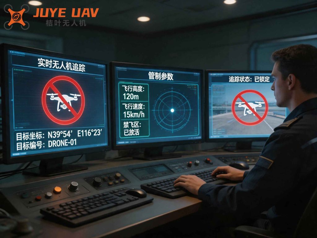
Note: The figure shows the system topology including drone, controller, various communication links, and the command center.
3.3 Network Organization for Emergency Scenarios
In complex environments, establishing an independent private network is paramount. The platform deploys one UAV management server and one video recording server at the command network level to form a comprehensive drone information management system. This setup provides services for flight data aggregation, video streaming, asset management, flight management, recording, and training. By interfacing with the Fire Image Comprehensive Platform, the system allows command video terminals to schedule drone video, flight control status, and geolocation on a map, thereby strengthening drone regulation through unified situational awareness.
Pilots use a mobile app to bind their identity with the drone, record flight parameters, generate flight trajectories, and upload data. The app also provides flight history, cumulative statistics, no-fly zone queries, online training, and exams. Administrators, commanders, and pilots access the system via a web browser to monitor drone status, missions, and training records. All these features are governed by strict drone regulation policies that define data access rights, flight permissions, and operational boundaries.
4. Key Technical Approaches
The platform employs several advanced technologies that are fundamental to achieving robust drone regulation. I have organized these into five main areas, each accompanied by relevant formulas and tables.
4.1 Image Resource Aggregation
Fire brigades are increasingly integrating drones with audio/video transmission equipment and communication modules into their command networks. The real-time panoramic images and sounds captured by drones are transmitted to the command center via secure gateways (e.g., using 4G and network security devices). The aggregation follows standard protocols such as GB/T28181, which ensures interoperability across different vendors. This standardization is a cornerstone of effective drone regulation, as it enables uniform data format, timestamping, and access control.
The video data rate for a single 1080P stream is typically:
$$
R_{\text{video}} = \text{width} \times \text{height} \times \text{bit depth} \times \text{frames per second} \times \frac{1}{\text{compression ratio}}
$$
For example, with 1920×1080 pixels, 24-bit color, 30 fps, and H.264 compression ratio of about 100:1, the bitrate is approximately 4–8 Mbps. Thus, handling 100 concurrent 1080P streams requires an aggregate bandwidth of at least 800 Mbps, which the platform’s network infrastructure must support for seamless drone regulation of video feeds.
| Parameter | Value |
|---|---|
| Resolution | 1920 × 1080 |
| Frame Rate | 30 fps |
| Color Depth | 24 bits |
| Compression | H.264 (approx. 100:1 ratio) |
| Single Stream Bitrate | ~4–8 Mbps |
| Total for 100 Streams | ~400–800 Mbps |
4.2 Flight Control Data Acquisition
Real-time flight parameters (altitude, speed, battery, GPS coordinates, etc.) are obtained via manufacturer-provided APIs (SDK) or through standard protocols like GB/T28181. The system stores raw data to ensure integrity and provide audit trails—a critical aspect of drone regulation. The flight data can be used to compute performance metrics such as flight efficiency:
$$
\eta = \frac{\text{Distance}}{\text{Energy}} = \frac{\int v(t) \, dt}{\int P(t) \, dt}
$$
where \(v(t)\) is speed and \(P(t)\) is power consumption. These metrics help in evaluating pilot skill and drone health, both of which are monitored under drone regulation guidelines.
4.3 Drone Pilot Management
The platform provides comprehensive pilot records by binding pilot information to specific drones via the mobile app. It logs flight parameters and trajectories, creating a robust dataset for training and evaluation. This functionality supports drone regulation by ensuring that only certified pilots with appropriate flight hours can operate in designated areas. Statistical measures such as total flight hours \(H\) and number of missions \(N\) are automatically computed:
$$
H_{\text{total}} = \sum_{i=1}^{N} t_i
$$
where \(t_i\) is the duration of the \(i\)-th flight. Leaderboards incentivize safe and efficient flying, aligning with drone regulation objectives.
4.4 Integration with Fire Image Comprehensive Platform
Through a standard communication protocol interface, the platform exchanges data with the Fire Image Comprehensive Platform. This allows real-time display of drone video, flight control status, and GPS data on the command video system. Map-based interaction with pilots (e.g., marking points of interest) improves command efficiency while enforcing drone regulation via geo-fencing. The integration ensures that all drone operations are visible and controllable from a single pane of glass.
4.5 2D/3D Modeling Integration
The system can ingest orthophoto and oblique imagery collected by drones to generate 2D and 3D maps. These maps are overlaid as layers on the command video system, providing a true representation of the disaster scene. Such spatial data is crucial for drone regulation because it allows commanders to precisely define no-fly zones and flight corridors. The modeling process involves photogrammetry algorithms that solve for camera parameters and 3D point coordinates:
$$
\begin{aligned}
x_i &= f \frac{r_{11}X + r_{12}Y + r_{13}Z + t_x}{r_{31}X + r_{32}Y + r_{33}Z + t_z} \\
y_i &= f \frac{r_{21}X + r_{22}Y + r_{23}Z + t_y}{r_{31}X + r_{32}Y + r_{33}Z + t_z}
\end{aligned}
$$
where \((x_i, y_i)\) are image coordinates, \((X, Y, Z)\) are world coordinates, \(f\) is focal length, and \((r_{ij}, t)\) are rotation and translation parameters. This mathematical foundation ensures accurate mapping, which directly supports drone regulation by providing precise spatial context.
5. Detailed Platform Design
5.1 Platform Organizational Structure
The fire drone comprehensive information management system comprises a complete web-based subsystem that includes map-based visual situation labeling, route planning, statistical queries, and device management. It also exposes APIs for third-party integration. Built on a B/S architecture, it is compatible with mainstream browsers. The user roles are defined as follows:
| Role | Privileges | Drone Regulation Relevance |
|---|---|---|
| Administrator | Full system control, user creation, function assignment, device access | Enforces overall drone regulation policies, sets permissions |
| Commander | Real-time monitoring, mission assignment, map interaction | Oversees compliance with drone regulation during operations |
| Pilot | View own flight logs, replay trajectories, take training courses | Subject to drone regulation rules (e.g., no-fly zones, flight limits) |
5.2 Flight Statistics
I designed the flight statistics module to support queries based on drone device and pilot conditions. It retrieves flight records, calculates total flight time, frequency, and distance. The system also supports synchronized playback of flight trajectories with high-altitude video. Detailed flight data can be searched by date, and cumulative statistics include:
- Total number of flights
- Total distance flown
- Total flight duration
These statistics feed into drone regulation analytics, allowing administrators to identify pilots who exceed safe operating limits or require additional training.
5.3 Device Management
Device management includes creating records for each drone’s manufacturer, access method, device type, and account information. To promote interoperability, each drone is assigned a standardized national code following GB/T28181. This coding scheme simplifies data exchange with third-party platforms and facilitates drone regulation by uniquely identifying each UAV in the system. The “My Flights” interface includes a QR code scanner for quick device binding.
5.4 Trajectory Playback
The platform records the entire flight process of registered drones, including GPS coordinates and altitude. Trajectories can be replayed online with time stamps and latitude/longitude information. This feature is invaluable for post-mission analysis, accident investigation, and pilot performance evaluation—all essential components of drone regulation.
6. Equipment Configuration for the Platform
The following table lists the key hardware components that constitute the novel fire emergency communication drone regulation platform. Each component is selected to meet the stringent requirements of drone regulation, including scalability, reliability, and security.
| No. | Name | Model | Main Functions | Quantity |
|---|---|---|---|---|
| 1 | UAV Management Server | AVCON AFS-7100 | – Aggregates drone data via SDK, GB/T28181, etc. – Provides web backend for basic data services, map services, recording services. – Manages up to 100 drones, supports cascading and data aggregation. – Enables drone regulation analytics and flight management. |
1 |
| 2 | Video Recording Server | AVCON HRSS-7400 | – Receives/forwards up to 256 live streams. – Simultaneously records up to 16 1080P streams. – Manages course publishing, resource management, and text discussions. – Supports distributed and cluster deployment. |
1 |
| 3 | Pilot Mobile App | – | – My Flights: query flight history, replay trajectories. – Flight Statistics: view cumulative flight data. – Pilot Training: online courses and exams. – No-fly Zone Query: real-time geofencing info. |
N sets |
7. Mathematical Modeling of Drone Regulation Capacity
To ensure the platform can enforce drone regulation in a large-scale disaster, I developed capacity models. The number of simultaneous drone operations supported by a single management server is constrained by processing power and network bandwidth. Let \(C\) be the total processing capacity in terms of drone streams, and \(B\) be the available bandwidth in Mbps. Then:
$$
C = \min\left( \frac{B}{R_{\text{avg}}}, N_{\text{max}} \right)
$$
where \(R_{\text{avg}}\) is the average bitrate per drone stream (typically 6 Mbps for 1080P), and \(N_{\text{max}}\) is the maximum number of concurrent streams the server can handle (e.g., 256 for video recording server). For the UAV management server, the constraint is more about control data rather than video, but similar principles apply.
Additionally, the probability of airspace conflict under drone regulation can be modeled if we assume random flight patterns. Suppose \(n\) drones operate in a volume \(V\) with a maximum safe separation distance \(d_{\text{safe}}\). The probability of a conflict (two drones within \(d_{\text{safe}}\)) is approximated by:
$$
P_{\text{conflict}} \approx 1 – \left(1 – \frac{4}{3}\pi d_{\text{safe}}^3 / V \right)^{n(n-1)/2}
$$
The platform’s drone regulation features (geofencing, mandatory flight corridors, altitude layers) effectively reduce \(n\) in any given volume and enforce larger effective \(d_{\text{safe}}\). Thus, the platform dramatically lowers conflict probability.
8. Conclusion
Through my research and practical involvement in this project, I have demonstrated that the novel fire emergency communication drone regulation platform is a comprehensive solution that addresses the unique challenges of disaster response. By integrating multi-layer communication technologies, standard protocols, and advanced analytics, the platform not only enhances the efficiency of UAV operations but also enforces strict drone regulation policies that are essential for safety and coordination. The inclusion of pilot management, asset tracking, real-time monitoring, and post-mission analysis creates a closed-loop system that ensures accountability and continuous improvement. As fire rescue organizations continue to adopt drone technology, such platforms will become indispensable for maintaining airspace order and maximizing the lifesaving potential of UAVs. My future work will focus on refining the machine learning algorithms used for predictive drone regulation and expanding the platform’s interoperability with international standards.