
Since 2024, the low-altitude economy has been consecutively included in China’s government work reports for three years, marking its emergence as a crucial driver for cultivating new productive forces and expanding development space. As a key carrier of low-altitude economic flight activities, the China UAV (Unmanned Aerial Vehicle) leverages its flexibility, efficiency, and multi-dimensional perception capabilities to progressively become a vital technical tool for transforming urban governance towards precision and intelligence. In this paper, we adopt a first-person perspective to systematically explore the application scenarios, risk challenges, and strategic responses of China UAV-enabled urban governance, drawing from typical cases and frontier practices. Our analysis reveals that while China UAVs have demonstrated significant value in fields such as public safety, emergency response, and environmental monitoring, their deep integration with urban governance faces obstacles including insufficient coordination between technology and management, privacy data leakage, lagging regulatory mechanisms, and incomplete low-altitude infrastructure. To address these challenges, we propose a suite of systemic strategies, including a “triple-pillar” collaborative governance framework and enhanced safety governance and privacy protection capabilities, providing both theoretical support and practical reference for the modernization of urban governance.
Literature Review: The Spatial Dimension Expansion of Digital Urban Governance
Since the early 21st century, the rise of new-generation information technologies (e.g., IoT, cloud computing, big data) has offered technical solutions to urban problems such as traffic congestion and environmental pollution. Scholars have focused on how digital technologies reshape urban governance paradigms. Existing research on “how technology governance achieves good governance” mainly unfolds along four dimensions:
- Technical Empowerment: Emphasizing the construction of digital infrastructure (sensor networks, data platforms, security systems) to enhance governance efficiency.
- Mechanism Empowerment: Exploring how digital technologies reshape governance processes and modes, such as restructuring power mechanisms and softening departmental boundaries.
- Subject Empowerment: Examining collaborative mechanisms between governance entities and technology, enabling efficient resource allocation through internet, databases, and sensors.
- Value Empowerment: Advocating for people-centered good governance, transitioning from “physical-sense city” to “human-sense city.”
With the rise of the low-altitude economy, China UAVs have transformed from military equipment to essential tools for smart city governance. This shift introduces a new spatial dimension: governance mobility that overcomes terrain obstacles compensates for traditional digital governance’s shortcomings in blind spots, physical intervention, and cross-domain coordination. However, existing literature often focuses on either technical applications or policy analysis, lacking a systematic framework that spans from application scenarios to risk assessment and response strategies. Our study fills this gap by providing an integrated analysis built on the specific context of China UAV deployment.
Mechanisms and Major Application Scenarios of China UAV-Enabled Urban Governance
Underlying Mechanisms
The integration of low-altitude technology and airspace development positions China UAVs as “aerial new infrastructure,” marking a leap from “human-land” to “air-ground-human” dimensions. This transition promotes urban governance toward intelligent, spatial, and perceptual evolution. Three core characteristics—intelligence, efficiency, and multi-scenario adaptability—drive this transformation, as summarized in Table 1.
| Characteristic | Description | Example Formula/Model |
|---|---|---|
| Intelligence | AI recognition, autonomous navigation, real-time data analysis enable fine-grained governance. UAVs monitor infrastructure, environmental parameters, and public space dynamics, feeding decision-making models. | $$ \text{Governance Precision} = \alpha \cdot \text{Sensing Coverage} + \beta \cdot \text{Data Analysis Depth} $$ |
| Efficiency | Rapid response and wide-area coverage shorten the cycle from problem detection to resolution. UAVs overcome geographic limits, conduct high-frequency patrols, and deliver supplies (e.g., medicines) to remote areas. | $$ \text{Response Time Reduction} = \frac{T_{\text{traditional}} – T_{\text{UAV}}}{T_{\text{traditional}}} \times 100\% $$ |
| Multi-scenario Adaptability | Integrates cross-departmental data (traffic, environment, security) into a unified platform, facilitating collaboration among police, urban management, and environmental agencies. | $$ \text{Collaboration Efficiency} = \sum_{i=1}^{n} w_i \cdot \text{Integration Level}_i $$ |
Application Scenarios
Within China’s urban governance practice, China UAVs have evolved from singular technical tools into “aerial new infrastructure,” forming mature application paradigms across multiple domains. Figure 1 illustrates the logical framework of scenario application, built upon spatially oriented digital governance and supported by low-altitude data.
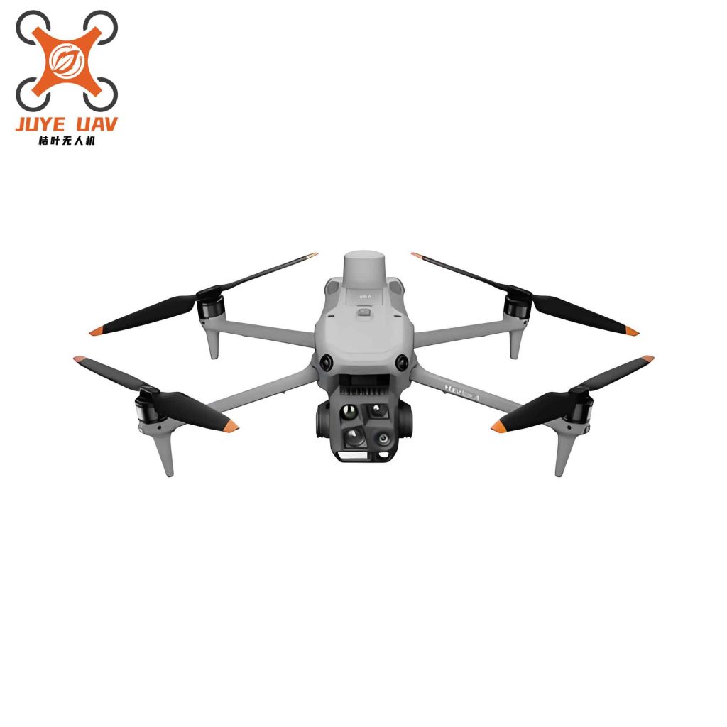
Public Safety Governance: Police-use China UAVs equipped with high-definition zoom cameras and thermal imaging enable all-weather coverage of complex areas. For example, a UAV-based inspection system for open-pit coal mines uses infrared and HD cameras to detect unsafe worker behaviors in real time, reducing manual intervention. In large events, “air-ground synergy” creates dynamic risk warning networks. Community patrols are augmented by intelligent recognition, while the UAV’s visible presence serves as a deterrent, fostering public compliance.
Traffic Comprehensive Governance: China UAVs monitor full road network dynamics via aerial perspectives, combined with AI algorithms to identify congestion nodes. In accident investigation, oblique photography reconstructs scenes within minutes, shortening investigation time by over 40%. For law enforcement, deep learning models automatically recognize violations (e.g., illegal lane changes, running red lights) with accuracy exceeding 95%. Vertical take-off sites on high-rise buildings enable a “low-altitude airspace—ground road network” linked enforcement network.
Environmental Dynamic Monitoring: Multi-spectral sensors and gas detectors measure PM2.5, PM10, and VOCs in real time. Thermal infrared captures abnormal temperature rises from industrial facilities, revealing hidden pollution. For illegal discharge, high-resolution optical lenses and LiDAR pinpoint river outfalls. In waste management, oblique photography combined with deep learning identifies illegal dumping sites and quantifies clearance efficiency. As shown in Table 2, key performance indicators highlight the advantages of China UAVs over traditional methods.
| Indicator | Traditional Method | China UAV Method | Improvement |
|---|---|---|---|
| Area Coverage per Day (km²) | 5 | 100 | 20× |
| Pollution Detection Latency (hours) | 24 | 1 | 96% reduction |
| Accuracy of Illegal Dumping Identification (%) | 70 | 95 | +25% |
Emergency Response: In firefighting, China UAVs with infrared thermography locate fire sources and build 3D models of burning structures, transmitting data within minutes. For floods, multi-UAV systems use 3D path planning to deliver supplies to the “last mile.” In hazardous chemical leaks, gas detection modules and UV-vis cameras enable remote monitoring; response time can be reduced to under 10 minutes. During the 2021 Zhengzhou extreme rainstorm, China UAV communication base stations provided long-duration emergency communication coverage in “power-off, road-off, network-off” conditions.
Smart Health and Elderly Care: China UAVs equipped with facial recognition and non-contact vital sign monitors track wandering dementia patients and detect physiological anomalies. For the elderly with limited mobility, innovative manned aerial vehicles assist with boarding and integrate basic first-aid functions, expanding social participation. In last-mile logistics, UAVs deliver urgent medicines to isolated seniors, solving the “last 100 meters” challenge.
Municipal Greening Maintenance: Multi-spectral sensor-equipped agricultural UAVs enable variable-rate pesticide spraying, reducing chemical usage by 30%. In urban greening, high-precision positioning identifies vegetation health, allowing targeted irrigation and pest control, thereby saving water and fertilizer resources.
These scenarios demonstrate that the success of China UAV-enabled urban governance lies in three aspects: spatiotemporal reconstruction (lifting perspective from 2D to 3D), data-driven decision-making (converting heterogeneous data into actionable models), and precise supply-demand matching (e.g., “application scenario opportunity lists” issued by cities).
Risk Challenges in China UAV-Enabled Urban Governance
Despite its transformative potential, the deep application of China UAVs in urban governance faces multiple risks and challenges, categorized in Table 3.
| Category | Specific Challenge | Example/Formula |
|---|---|---|
| Insufficient Technology-Management Coordination | Lack of standardization among different brands and models leads to poor compatibility and data silos. Pilot skill levels vary due to non-uniform certification. Technical iteration outpaces regulatory updates. | $$ P(\text{coordination failure}) = 1 – \prod_{i=1}^{n} (1 – p_i) $$ |
| Data Security & Privacy Risks | UAVs collect sensitive data (biometrics, trajectories) without proper safeguards. Current emission standards for low-altitude electromagnetic radiation lack specificity. Public risk perception is asymmetric (over-fear of radiation, under-awareness of data leakage). | $$ \text{Privacy Leak Risk} = k \cdot \frac{\text{Data Collection Density}}{\text{Protection Level}} $$ |
| Lagging Regulatory Frameworks | Existing laws (e.g., Civil Aviation Law, Provisional Regulations) provide broad principles but lack detailed rules on airworthiness, airspace usage, and data governance. Inter-departmental coordination is inefficient, and central-local synergy is weak. | $$ \text{Regulatory Lag} = \frac{\text{Technology Innovation Speed}}{\text{Policy Update Speed}} $$ |
| Insufficient Infrastructure & Industrial Ecosystem | Physical facilities (take-off pads, charging stations, maintenance depots) are sparsely distributed. Communication and navigation systems (e.g., 5G, Beidou) lack full city coverage. Industry chain synergy is poor, with many applications remaining at basic levels (aerial photography, logistics) rather than deep integration (3D modeling, intelligent decision-making). | $$ \text{Infrastructure Gap} = \text{Required Coverage} – \text{Actual Coverage} $$ |
The probability of data leakage in a system with \(n\) independent UAVs, each with a base leak probability \(p\), can be modeled as:
$$ P_{\text{leak}} = 1 – (1-p)^n $$
This exponential increase with fleet size highlights the urgency of robust data protection mechanisms.
Moreover, the imbalance between technological push and governance pull creates structural mismatches. For instance, while some cities deploy advanced AI-driven UAVs, they lack the operational protocols to manage the resulting data deluge, leading to underutilization of insights.
Strategic Responses to Mitigate Risks
To harness the benefits of China UAVs while controlling risks, we propose a comprehensive set of strategies organized around four pillars.
1. Build a “Triple-Pillar” Collaborative Governance System
- Technical Standardization: Establish a unified command and control platform for cross-brand, cross-department UAV operations. Implement blockchain-based encryption for data provenance and sharing. Promote “one-machine-one-code” lifecycle management.
- Management Integration: Create a dedicated UAV flight management office to coordinate missions across police, emergency, environment, and other departments. Adopt a “peacetime-wartime” model: routine patrols use on-demand resource allocation; major events see centralized dispatch. Standardize pilot certification with tiered training programs.
- Institutional Innovation: Refine local regulations clarifying functional boundaries. Foster “government-industry-university-research” collaborative ecosystems. Establish dynamic feedback loops from pilot projects.
The effectiveness of this system can be evaluated by:
$$ \text{Governance Synergy Index} = w_1 \cdot \text{Standardization Score} + w_2 \cdot \text{Management Efficiency} + w_3 \cdot \text{Institutional Adaptability} $$
2. Strengthen Safety Governance and Privacy Protection
- Intelligent Technology for Precise Regulation: Deploy AI algorithms for real-time airspace sensing. Build dedicated data middle platforms compliant with China’s Personal Information Protection Law. Develop noise pollution early-warning platforms using multi-sensor fusion and machine learning.
- Public Engagement and Risk Co-Governance: Conduct community awareness campaigns (lectures, VR simulations) to correct risk perception biases. Establish transparent disclosure mechanisms for data collection scope and purpose. Encourage third-party oversight under legal frameworks, creating a “technical compliance—social supervision—government guarantee” multi-stakeholder governance.
The privacy risk under regulatory oversight can be modeled as:
$$ R_{\text{effective}} = \frac{R_{\text{inherent}}}{1 + \lambda \cdot \text{Oversight Intensity}} $$
where \(\lambda\) represents the sensitivity of oversight to risk reduction.
3. Improve Policy, Regulations, and Cross-Departmental Collaboration
- Adaptive Legal Framework: Promote special legislation covering the full lifecycle (R&D, manufacturing, operations, data usage) of China UAVs. Implement spatial classification management with “scenario-based negative lists” for no-fly zones using electronic geofences.
- Penetrative Supervision Model: Leverage the national UAV management platform to build a “ministerial joint meeting + local territorial linkage” mechanism. Set up a UAV governance committee under the Civil Aviation Administration to coordinate public security, cyberspace, and emergency departments.
- Central-Local Synergy: Clarify the division of safety oversight and implementation responsibilities. Provide special transfer payments for low-altitude infrastructure construction, such as smart landing pads and enhanced navigation systems.
4. Strengthen Infrastructure and Industrial Ecosystem
- Physical Infrastructure: Embed low-altitude service modules in urban planning—add dedicated take-off pads near transportation hubs, industrial parks, and emergency shelters, paired with smart charging stations and automated maintenance depots.
- Digital Service Platform: Build a digital low-altitude service platform integrating dynamic airspace management, intelligent route planning, and emergency response. Use standard APIs to couple with urban management systems. Explore blockchain for tamper-proof flight log systems to support accident traceability.
- Innovation Ecosystem: Establish “government-industry-university-research-user” co-innovation mechanisms. Offer tax incentives and R&D subsidies for core components (e.g., main control chips, LiDAR). Industry associations should define operational norms and data-sharing protocols. Set up scenario innovation incubation funds to activate technology diffusion.
The infrastructure readiness index can be expressed as:
$$ \text{Readiness} = \frac{\text{Actual Facilities + Services}}{\text{Target Demand}} \times 100\% $$
Table 4 summarizes the strategic responses with expected performance improvements.
| Strategy Pillar | Key Performance Indicator | Baseline (Current) | Target (5-Year) |
|---|---|---|---|
| Triple-Pillar Collaborative Governance | Cross-department data sharing rate (%) | 30 | 85 |
| Safety & Privacy Protection | Privacy breach incidents (per 10,000 flights) | 5 | 0.5 |
| Policy & Regulatory Reform | Average flight approval time (hours) | 48 | 2 |
| Infrastructure & Ecosystem | Low-altitude coverage (percentage of urban area) | 10 | 70 |
Conclusion
China UAV-enabled urban governance is not merely a technological superimposition but a fundamental transformation of urban development philosophy, spatial logic, and governance systems. Beyond addressing “what China UAVs can do” and “how they empower,” a more profound question demands scrutiny: When China UAVs evolve from auxiliary tools to foundational infrastructure, how will the city itself be redefined?
Spatially, the large-scale deployment of China UAVs is propelling cities from traditional two-dimensional ground governance to three-dimensional “air-ground-human” governance. This physical expansion triggers systemic reconfiguration of urban functional zones, infrastructure layout, and industrial-space relationships. Future urban spatial planning must treat low-altitude airspace as a strategic resource equivalent to land, coordinating low-altitude airspace planning with territorial spatial planning to reserve institutional interfaces and spatial carriers for routine low-altitude economy operations.
Value-wise, the “panoramic surveillance” capability of China UAVs enhances governance efficiency while simultaneously reshaping the trust relationship between government and citizens. How to clearly delineate the boundary between data collection breadth and citizen privacy protection? How to transform the public from passive governance objects to informed, participating governance subjects? These are the value propositions that must be answered for China UAV-enabled governance to achieve “good governance.”
As AI technology evolves from simple rule engines to agent systems with perception, understanding, decision-making, and execution capabilities, China UAVs will transition from single tools to intelligent nodes in a collaborative swarm. This technological leap dramatically boosts governance effectiveness but also introduces new challenges concerning responsibility attribution, algorithm transparency, and human-machine collaboration mechanisms. Therefore, constructing a governance ecosystem that is technically controllable, institutionally adaptive, and value-inclusive requires continuous innovation of equitable, human-centric technologies on the technological side, while on the application side, balancing safety and development with simultaneous evolution of governance philosophy. Only then can we achieve the organic unity of intelligent good and urban good governance.