
With the rapid development of modern society, electric energy has become one of the primary energy sources directly used by people. The stable operation of transmission lines is the top priority of power system operation. China’s vast territory and complex terrain make transmission lines exhibit characteristics of long distances and variable terrain. Traditional inspection methods mainly rely on manual patrols, but this approach suffers from low efficiency and potential safety hazards. In recent years, the vigorous development of China UAV technology has made it possible to assist manual inspections. However, existing China UAV inspection solutions often only perform image recognition on site without considering environmental information such as temperature, humidity, voltage, or current. This work proposes a novel China UAV-assisted power maintenance technology that integrates environmental perception to overcome these limitations. We designed an intelligent data acquisition module that collects voltage, current, ambient temperature, humidity, and equipment images through multiple sensors and cameras. Furthermore, we improved the YOLOv5 algorithm by replacing the loss function, introducing the CBAM attention mechanism, and optimizing the convolution process. This achieves algorithm lightweight while significantly improving fault recognition accuracy.
I. System Design of the Environmental Perception China UAV
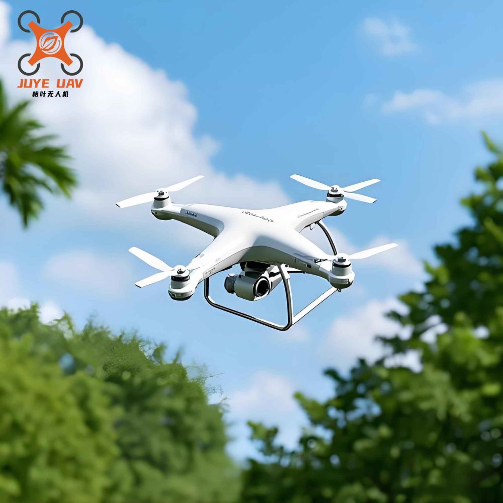
The hardware platform of the proposed China UAV is based on the DJI T16 quadcopter, which offers sufficient payload and flight endurance for carrying sensors and a maintenance pod. Table 1 summarizes the key parameters of the China UAV platform used in this study.
| Parameter | Value |
|---|---|
| Maximum flight speed (m/s) | 10 |
| Maximum altitude (km) | 2 |
| Maximum thrust per rotor (kg/rotor) | 13.5 |
| Maximum power per rotor (W/rotor) | 2400 |
To overcome the problem of single data source, we designed an intelligent data acquisition module that integrates a temperature sensor, current sensor, voltage sensor, humidity sensor, and a high-definition camera. During a China UAV inspection flight, the module simultaneously collects equipment voltage, current, power, temperature, ambient temperature, humidity, and visual imagery. All data are transmitted to an onboard data acquisition terminal, which combines the numerical data with image data and passes them to a Raspberry Pi for deep learning analysis. The structural principle is illustrated in the following figure.
The maintenance system of the China UAV consists of a robotic arm module, which includes a servo motor, servo controller, power supply module, voltage adapter module, bearing connector, and laser ranging radar. The corresponding specifications are listed in Table 2.
| Component | Model / Parameter |
|---|---|
| Servo motor | HSR-5990TG |
| Servo controller | FUTABA T16SZ |
| Power supply module | 11.1 V Li-ion battery |
| Voltage adapter module | UBEC step-down module |
| Bearing connector | BKD bearing |
II. Software Algorithm Improvements Based on YOLOv5
The software system of the China UAV inspection platform focuses on enhancing data processing and analysis capabilities. We began by optimizing image preprocessing to reduce noise. The denoising method combines median filtering and non-local means filtering in series:
$$ z(x,y) = \text{median}\{ l(x-i, y-i) \}, \quad (x,y) \in K $$
$$ T = \{ t(i) \} $$
$$ t(i) = m(i) + g(i) $$
$$ \text{NLM}(i) = \sum_{j \in \Omega_i} w(i,j) t(j) $$
where \( z(x,y) \) is the filtered pixel value, \( l(x-i,y-i) \) is the original pixel value, \( K \) is the filter kernel size (typically \( 3\times3 \) or \( 5\times5 \)), \( T \) is the image pixel, \( m(i) \) is the noise-free image pixel, \( g(i) \) is the noise, \( \text{NLM}(i) \) is the denoised pixel, and \( w(i,j) \) is the weight matrix.
To enable the China UAV to run the YOLOv5 algorithm in real time, we made the network lightweight by replacing the original backbone with ShuffleNetV2. Furthermore, we converted the traditional convolution multiplication operations into addition operations to reduce parameter count. The original convolution parameter count is:
$$ G_s = G^2 \times h \times M $$
where \( G \) is the kernel size, \( h \) is the number of input channels, and \( M \) is the number of kernels. The improved convolution parameter count becomes:
$$ G_g = G^2 \times h + h \times M $$
The ratio of parameters is:
$$ \alpha = \frac{G_g}{G_s} = \frac{G^2 + M}{G^2 \times M} $$
Since \( \alpha < 1 \), the improved convolution has fewer parameters, making the entire network suitable for embedded China UAV platforms.
To improve recognition accuracy, we modified the loss function and introduced an attention mechanism. The original YOLOv5 uses CIoU loss:
$$ \text{CIoU} = 1 – \text{IoU} + \frac{O^2(z, z^y)}{d^2} + \frac{l^2}{1 – \text{IoU} + l} $$
where \( O(\cdot) \) is the Euclidean distance, \( z \) and \( z^y \) are centers of predicted and ground truth boxes, \( d \) is the diagonal length of the minimum enclosing rectangle, and \( l \) is a coefficient that only measures the aspect ratio difference. To address the deficiency of CIoU, we adopted the EIoU loss:
$$ \text{EIoU} = 1 – \text{IoU} + \frac{O^2(z, z^y)}{w_x^2 + h_x^2} + \frac{O^2(w, w^y)}{w_x^2} + \frac{O^2(h, h^y)}{h_x^2} $$
where \( w_x \) and \( h_x \) are the width and height of the minimum enclosing rectangle. Additionally, we incorporated the CBAM (Convolutional Block Attention Module) mechanism, which combines channel attention and spatial attention to highlight salient features and improve detection accuracy for small objects and degraded conditions.
III. Experimental Setup and Datasets
We collected a real-world dataset from a province in western China using a China UAV equipped with the proposed environmental perception module. The dataset contains 6,330 inspection images and 16,530 sets of correlated environmental parameters (voltage, current, temperature, humidity, etc.). All data were labeled using the Make Sense online annotation tool with four categories: normal, insulator damage, bird nest, and tree obstruction. The dataset was split into training and testing sets in a 9:1 ratio. The performance was evaluated using accuracy (\( P_z \)), precision (\( P_j \)), recall (\( P_r \)), and obstacle removal rate (\( P_c \)):
$$ P_z = \frac{TP + TN}{TP + TN + FP + FN} $$
$$ P_j = \frac{TP}{TP + FP} $$
$$ P_r = \frac{TP}{TP + FN} $$
$$ P_c = \frac{Z_c}{Z} $$
where \( TP \), \( FP \), \( FN \), \( TN \) are the counts of true positive, false positive, false negative, and true negative, respectively; \( Z_c \) is the number of successfully cleared obstacles, and \( Z \) is the total number of obstacles.
IV. Results and Discussion
We first conducted an ablation study to verify the contribution of each improvement. The baseline is the original YOLOv5 using only image data (Y). Successive improvements include: adding the intelligent data acquisition module (T), adding the denoising module (Z), lightweight network (Q), and CBAM attention (C). The results are shown in Table 3.
| Model | Accuracy (%) | Precision (%) | Recall (%) |
|---|---|---|---|
| Y | 85.42 | 85.11 | 84.54 |
| TY | 87.97 | 87.08 | 86.84 |
| TZY | 89.27 | 89.01 | 88.73 |
| TZQY | 93.17 | 93.04 | 92.78 |
| TZQCY (Ours) | 98.52 | 98.13 | 97.96 |
The sequential improvements show steady gains. Introducing environmental data (T) increased accuracy by 2.55%, denoising (Z) added 1.30%, lightweight backbone (Q) brought 3.90%, and CBAM attention (C) contributed another 5.35%. The final model achieves an accuracy of 98.52%, precision of 98.13%, and recall of 97.96%. The average inference time per image on the China UAV onboard Raspberry Pi is only 0.09 s, with the fastest time reaching 0.052 s.
We also compared the proposed TZQCY model with state-of-the-art detection algorithms: YOLOv3, YOLOv4, Faster R-CNN, and Attention-SSD. The results are presented in Table 4.
| Algorithm | Accuracy (%) | Precision (%) | Recall (%) |
|---|---|---|---|
| YOLOv3 | 82.42 | 82.12 | 80.91 |
| YOLOv4 | 83.24 | 83.14 | 83.09 |
| Faster R-CNN | 81.54 | 81.18 | 80.54 |
| Attention-SSD | 85.34 | 85.26 | 84.94 |
| TZQCY (Ours) | 98.52 | 98.13 | 97.96 |
The proposed China UAV algorithm significantly outperforms all compared methods, demonstrating its superiority in detecting faults in complex power line environments. Finally, we integrated the detection model with the maintenance pod to perform autonomous obstacle removal. Table 5 shows the ice removal and tree obstruction removal rates.
| Algorithm | Ice Removal Rate (%) | Tree Obstruction Removal Rate (%) |
|---|---|---|
| YOLOv3 | 85.32 | 85.24 |
| YOLOv4 | 86.25 | 86.46 |
| Faster R-CNN | 84.34 | 84.52 |
| Attention-SSD | 87.56 | 88.42 |
| TZQCY (Ours) | 97.24 | 97.25 |
The high obstacle removal rates (above 97%) confirm that the environmental perception and improved detection enable the China UAV to precisely locate faults and perform targeted maintenance operations.
V. Conclusion
This paper develops a China UAV-assisted power inspection and maintenance technology based on environmental perception. By designing an intelligent multi-sensor data acquisition module, we enrich the input information beyond mere images. On the algorithmic side, we refine YOLOv5 through denoising, lightweight convolution using ShuffleNetV2 and additive operations, EIoU loss function, and CBAM attention mechanism. The experimental results demonstrate that the proposed China UAV system achieves a fault recognition accuracy of 98.52% and an average image processing time of 0.09 seconds. The subsequent autonomous obstacle removal tests yield an over 97% success rate for both ice and tree obstructions. These findings indicate that the integrated hardware-software solution greatly enhances inspection efficiency and reliability, making it a practical tool for real-world power grid maintenance in China.